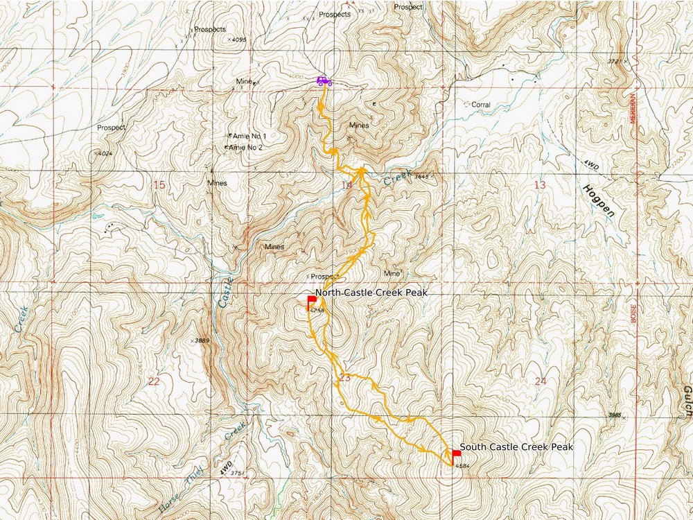
The Owyhee Mountains of southwest Idaho are a good place to visit in the Spring and Fall when conditions are most hospitable in this high desert terrain. There are many areas in the Owyhees that are seldom visited, and great for solitude. The Castle Creek area on the west side of the range is one example, and there are two nearby peaks that make for a good hike.
Michael and I made the 90 minute drive from Boise, via Walters Ferry and Oreana, and parked at what I guess is the end of Alder Creek Road. It was a nice spring morning as we began the 500+ foot descent to Castle Creek, following an old mining road.
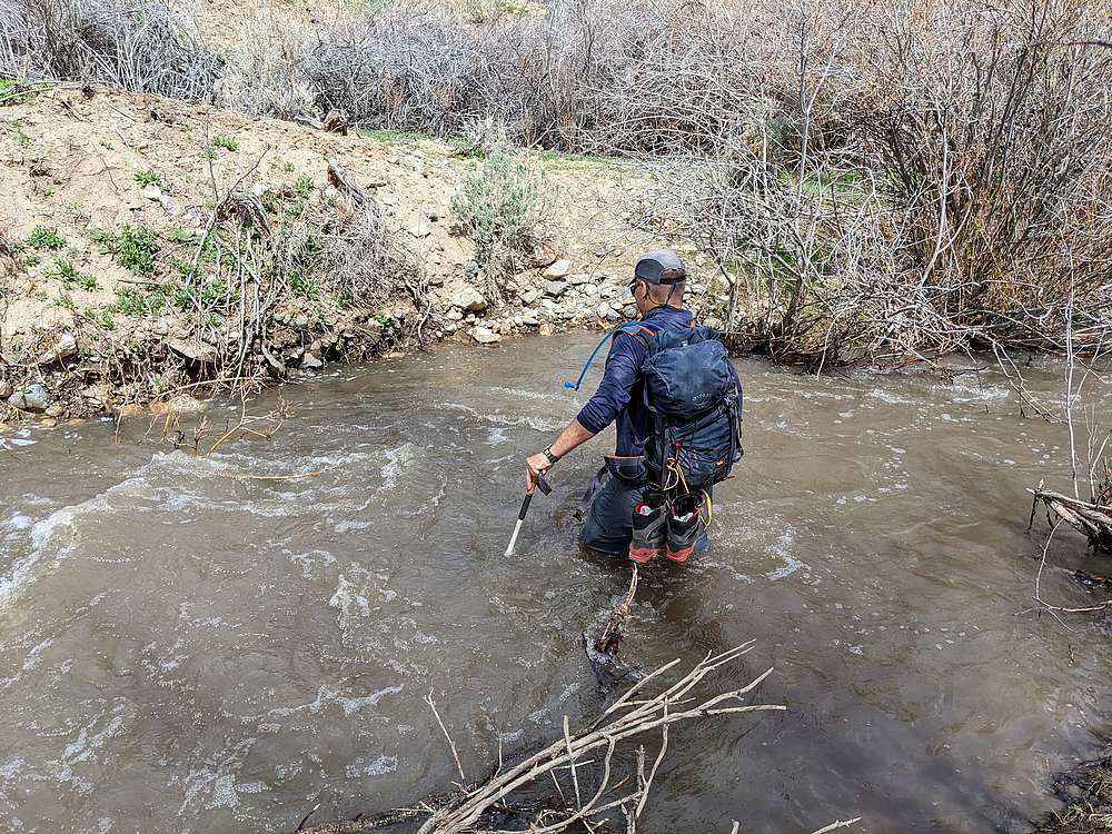
Once down to the creek, we had to contend with the crux of the day, the creek crossing. After some scouting, we chose a kinda wide spot hoping it would be shallow. Michael went first, and the water was swift and up to his mid-thigh. Since I’m shorter than him, I knew any chances of my pants staying dry were now over.
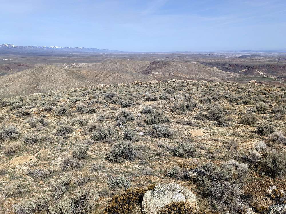
Fortunately, it was nice day, fairly warm, and a light breeze. So we dried off quickly as we made the climb up the first peak of the day, “North Castle Creek Peak” (Peak 4258’), via the northeast ridge. The summit itself wasn’t anything exciting, but the views of the higher Owyhee peaks were very nice.
Next, we descended to the southeast toward “South Castle Creek Peak” (Peak 4584’). It was an easy walk down to an indistinct saddle, then up the slopes of the southern peaks. On the summit, we were pleasantly surprised to find some interesting rocks formations and more nice views.
After a PB&J lunch on the south peak it was time to head back. We took a slightly different route down, then passed over the shoulder of the north peak to avoid some elevation gain. Soon enough we were back to the creek for another brisk crossing.
As we started up the mining road, we noticed another hiker crossing the creek further upstream. Turns out it was Ridge Baldner, who had climbed the north peak. Pretty slim chances of meeting someone else out in this area, but neat to run into another peak bagger to talk mountains with.
It was a nice day to be out for a hike. Round trip was 6 miles and 2200’ of elevation gain round trip in a little over 4 hours of hiking.
Map of the route 6 miles and 2200' elevation gain round trip.
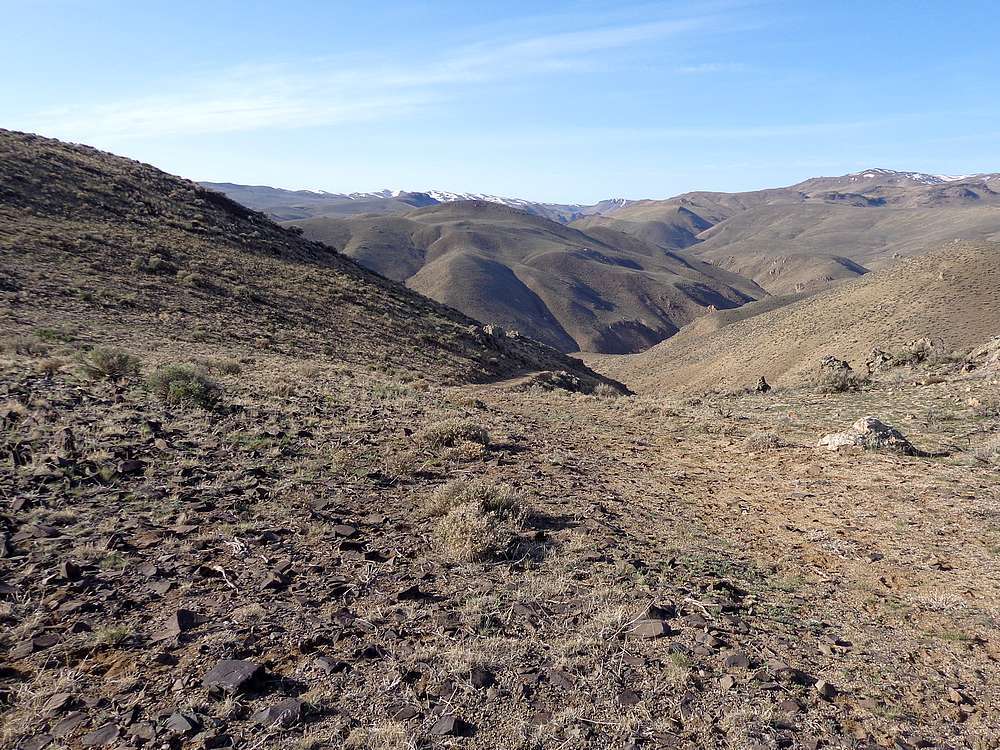
Heading down the mining road from the parking area.
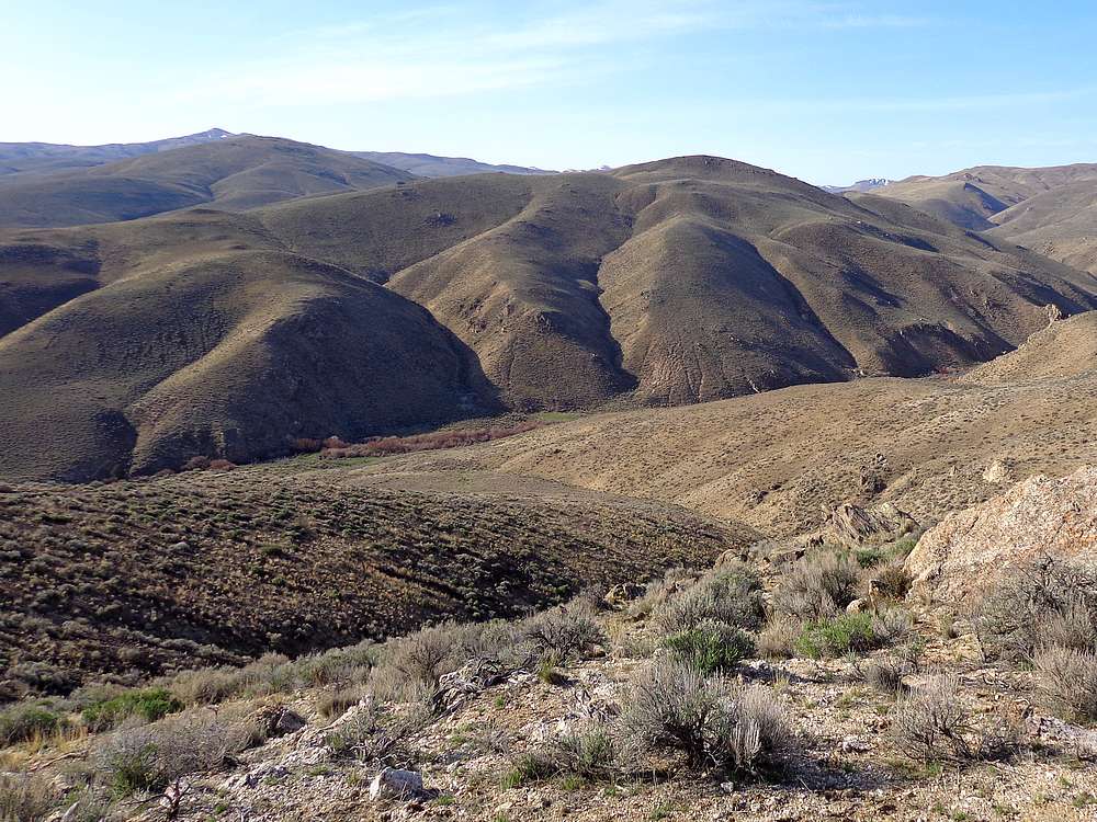
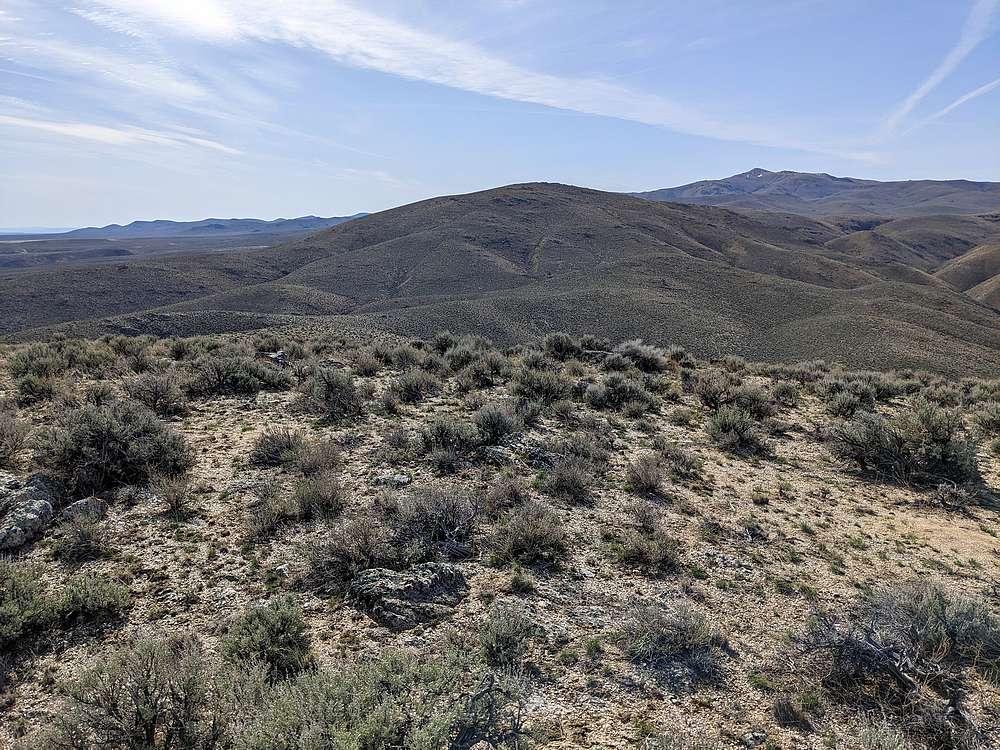
North peak on the right, south peak on the left.
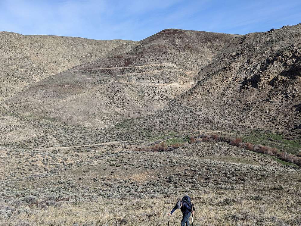
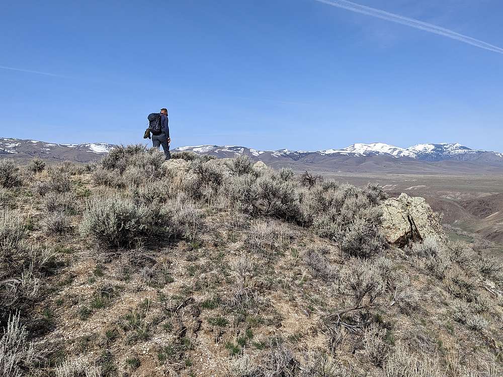
Heading up the first peak, Castle Creek and the mining road behind Michael.
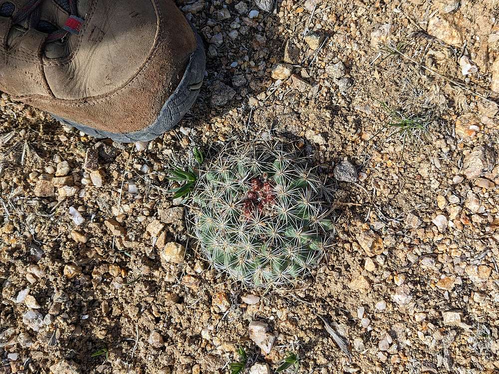
A cool little cactus along the way.
Summit of the north peak.
South peak from the north peak.
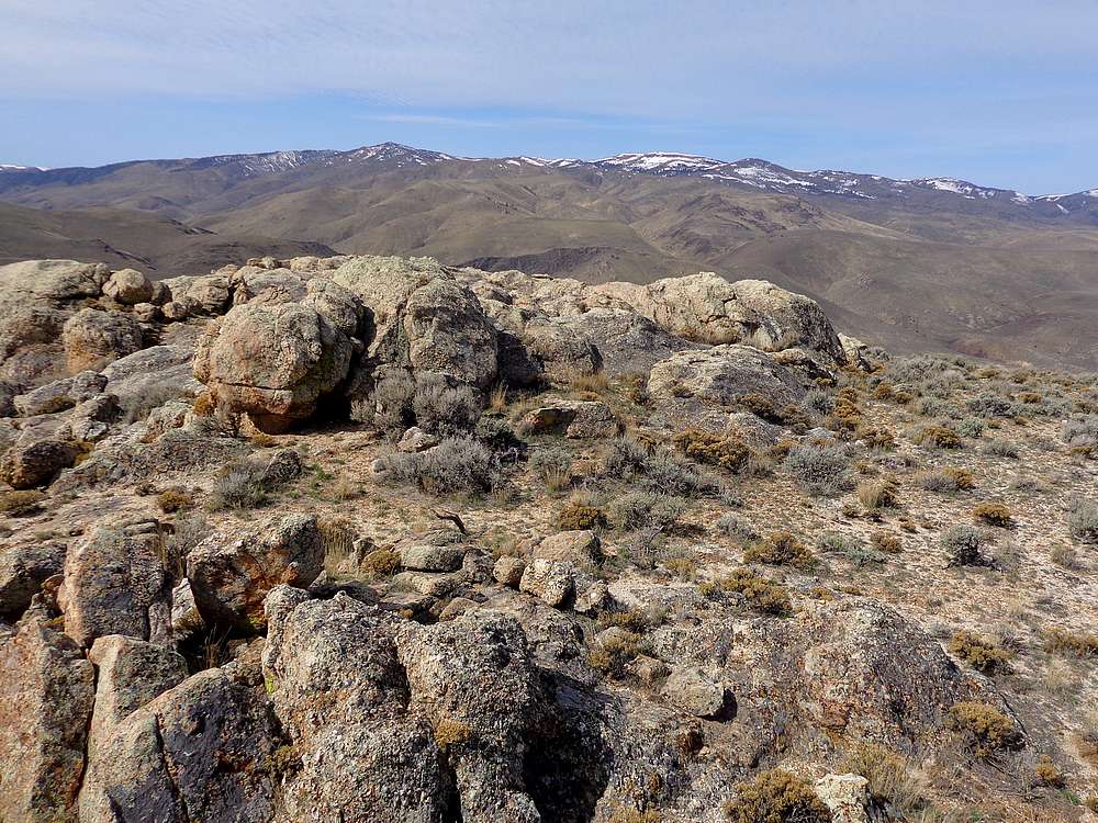
Rocky summit of the south peak.
North peak and mining road from the south peak.
Creek crossing on the way back.
IdahoAlpineZone is unofficially sponsored by Skippy Peanut Butter.