Calico Peak is located in southern Utah, within the boundaries of Grand Staircase-Escalante National Monument. This seldom visited peak provides great opportunity for solitude in a highly scenic area. The peak itself is a fun scramble, with a couple small arches visible along the way. And the approach is via a deep wash with sides that are nearly vertical in some places. Definitely a great area for adventure.
I was on a road trip, and was looking for a good leg-stretcher peak. Armed with a gpx file from Tom Gaithright (via Peakbagger), I was full of confidence in an easy climb. But this peak threw in a few curveballs that added to the adventure. To start, the road was a bit washed out in a few places, which meant I had to park further away than expected, adding an extra mile and half of hiking, round trip.
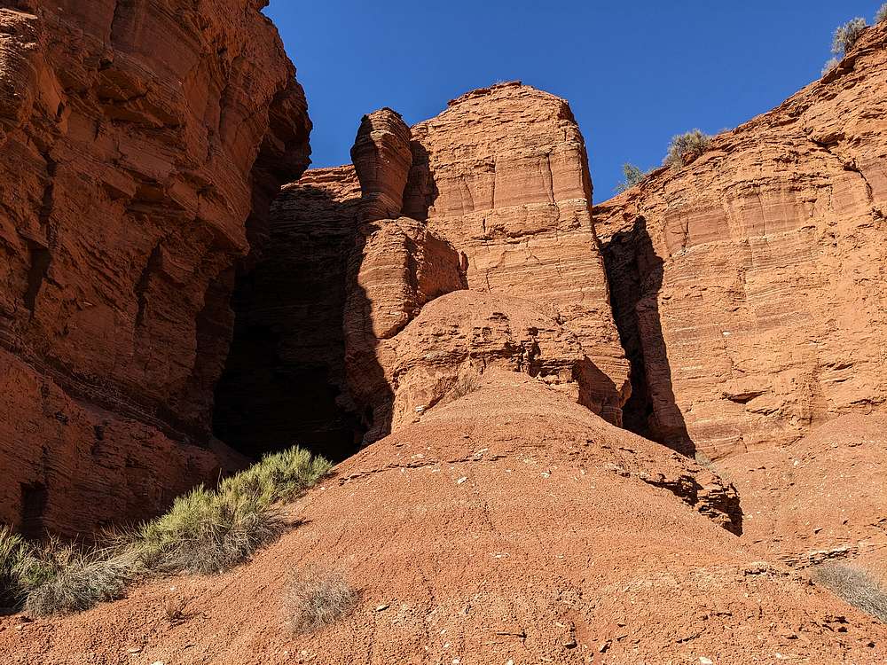
After walking three-quarters of a mile along the base of the mountains, it was time to head up the distinct wash. It started shallow, but soon got quite deep in places. With many twists and turns along the way, it was very cool.
The hiking in the wash lasted just over a mile, then it was time to climb out and head north toward the peak. I made my way to the south side of the peak, and then circled around to the northwest side until a weakness in the rock became apparent. This is where the scramble section began.
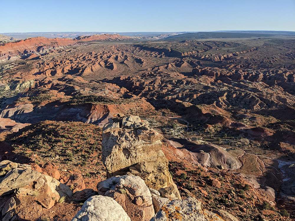
The northeast side of the peak ended up being some fun scrambling. There was a fair amount of route-finding, including climbing up and through a keyhole in the rocks. Once on the summit plateau, the views were fantastic. I hiked southeast toward highpoint, passing a couple small arches along the way.
After a quick snack on the summit, it was time to head back. In theory I would have just retraced my steps, but that was harder than it sounds, and I had to do a bunch more route-finding on the way down. All of this was pretty fun, but extended the hike longer than planned and it was almost dark by the time I got back to where I parked. Time to get back on the road again.
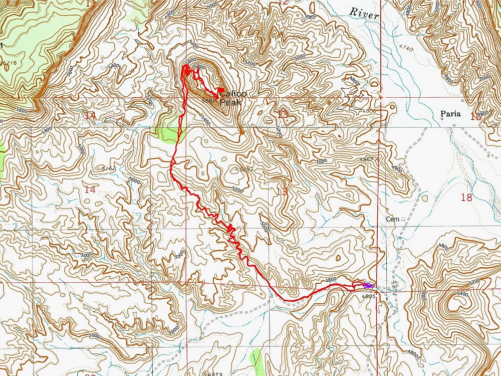
Round trip was just over 6 miles and 1200’ of elevation gain in just over 3 hours of hiking. This was a great hike, highly recommended.
Map of the route, 6 miles and 1200' elevation gain round trip.
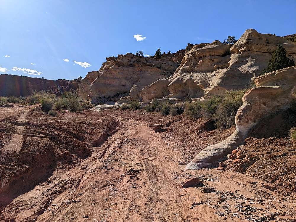
Cool formations just after I started hiking.
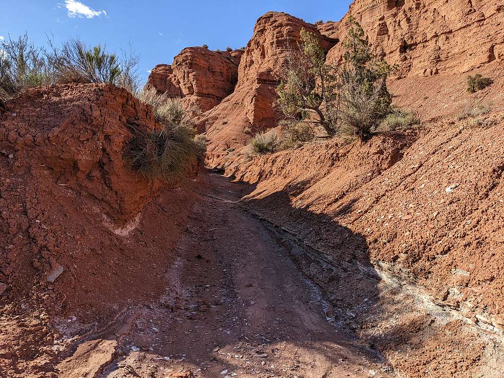
Start of the wash.
Sandstone formations along the wash.
Hairpin corner in the wash.
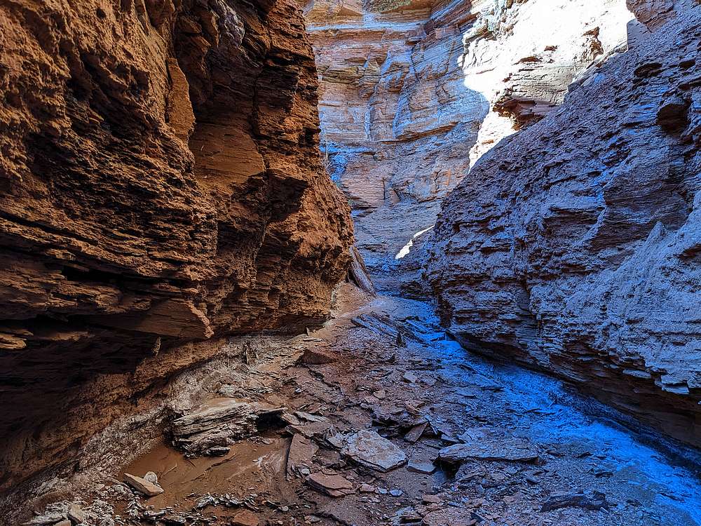
Tight section of the wash.
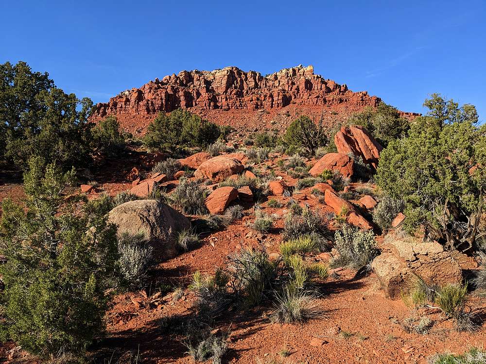
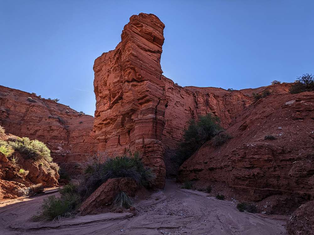
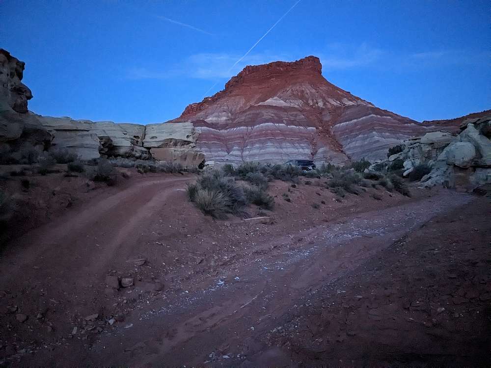
Calico Peak comes into view.
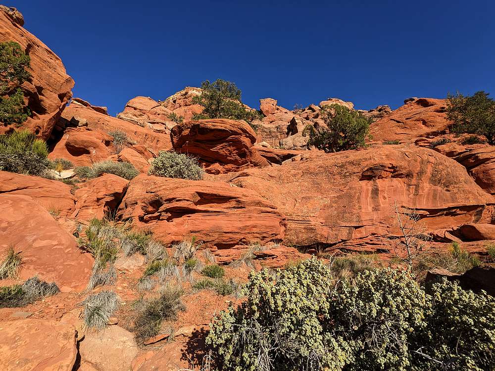
Start of the scramble section.
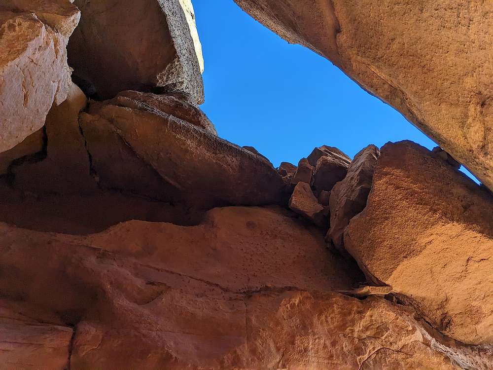
The route climbs through this key hole.
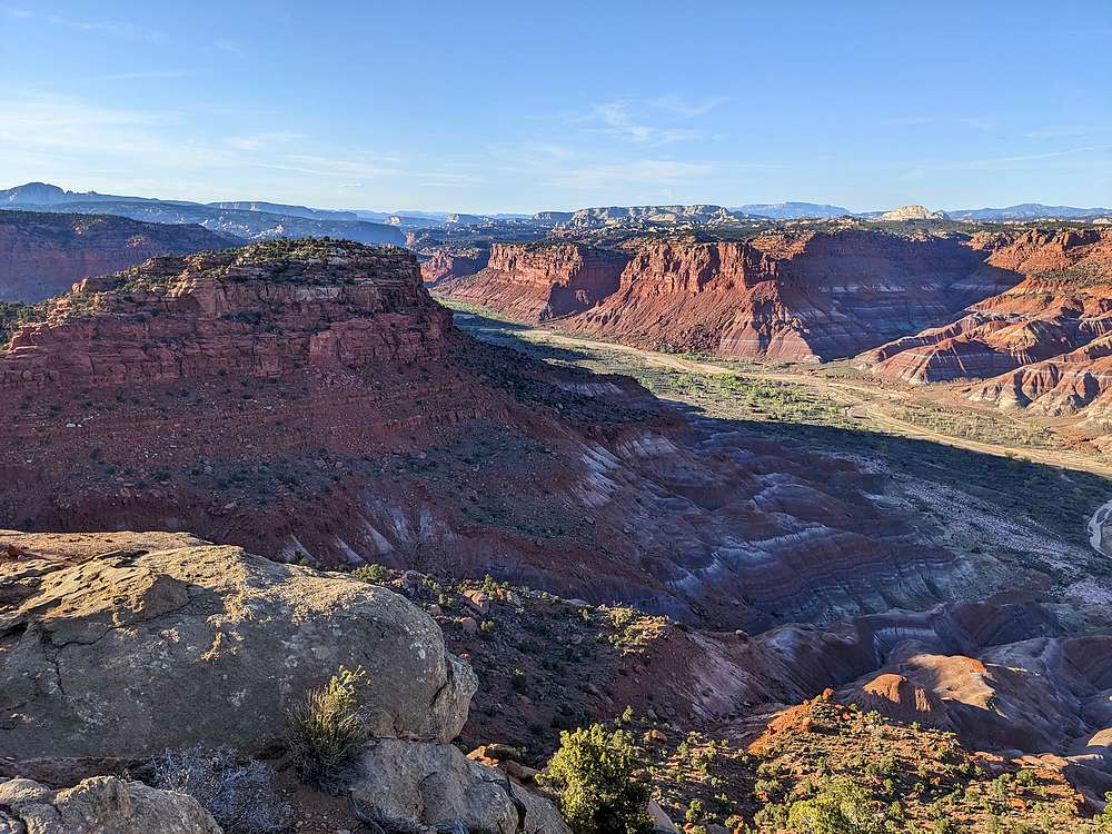
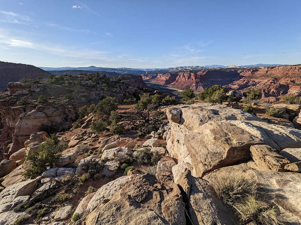
Paria River, north of the summit plateau.
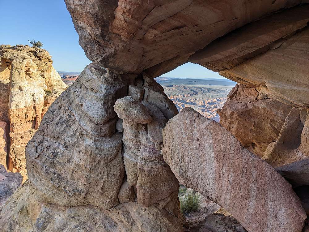
View through an arch near the summit. Notice another arch on the left.
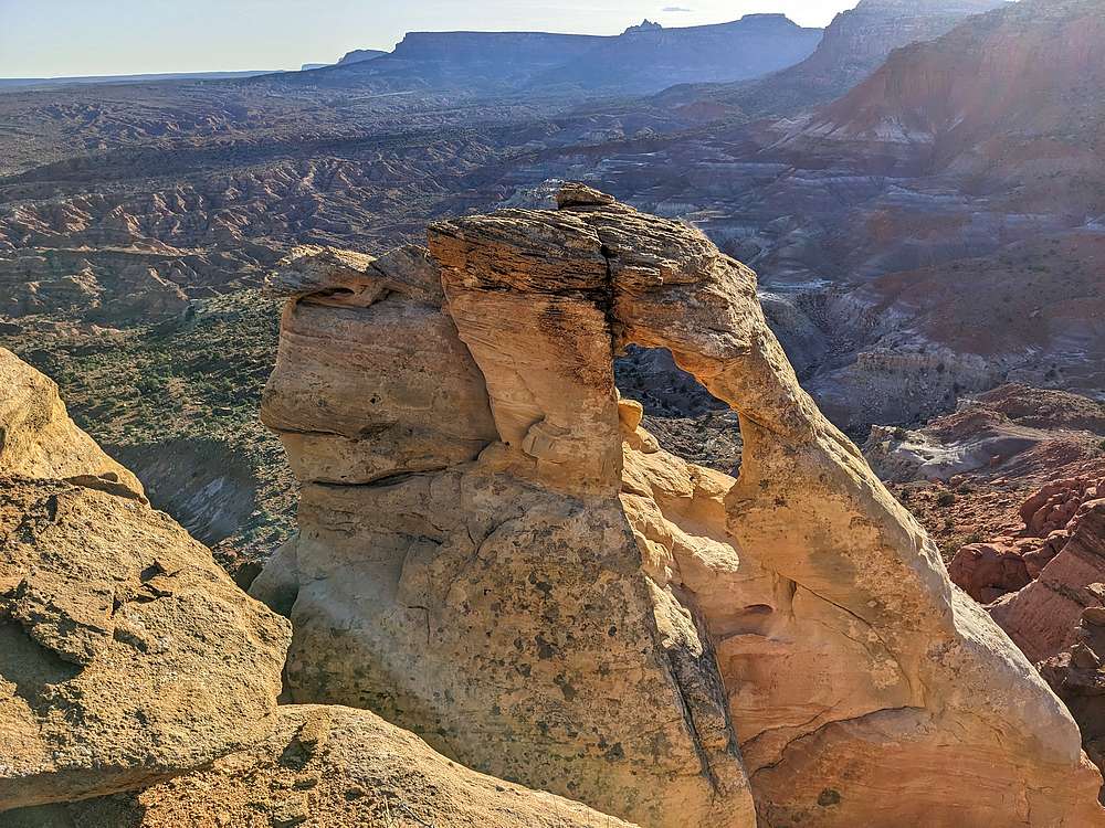
Neat arch below the Calico Peak summit block.
Calico Peak summit view.
View north across the summit plateau.
Light fading as I returned to the trailhead.
IdahoAlpineZone is unofficially sponsored by Skippy Peanut Butter.