|
Picacho Peak
An fun hike up a steep peak in central Arizona
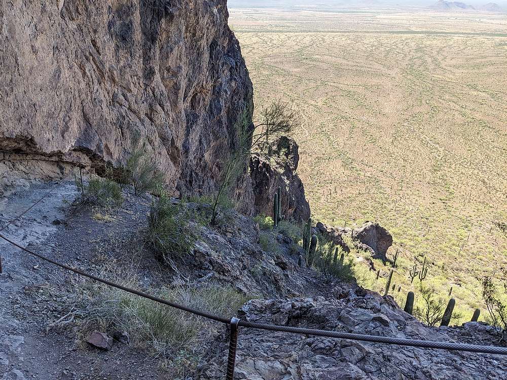
Picacho Peak is located in central Arizona, and arises abruptly out of the Sonoran Desert between Phoenix and Tucson. If driving along I-10, you can’t miss this massive chunk of rock. In Spanish, Picacho means ‘peak’, and this Peak Peak is surrounded by its namesake state park. The summit can be reached via trails, but that doesn’t make it easy. The route is protected in places by cables that hikers can use to grab onto, but it’s still no place for anyone faint of heart.
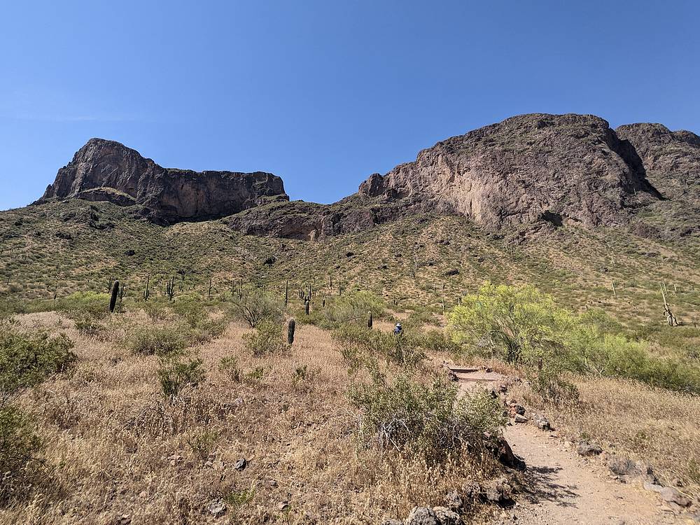
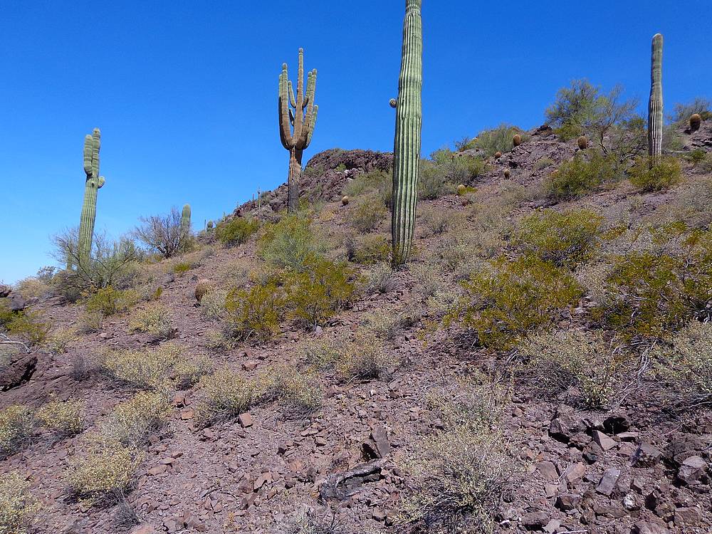
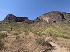
After a long outing the prior day, I was looking for a good but shorter adventure today. Picacho definitely fit the bill. I paid the state park entry fee, and parked at the Hunter Trailhead. It was already heating up for the day, as I followed the trail up through some cool saguaro cactus. The shade at the base of the cliffs was a welcome relief, and I made it up to the saddle without issue.
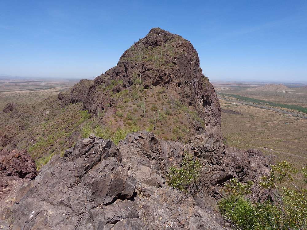
I planned to add the west summit, nicknamed Razorback Ridge, and decided to tackle that one first. A faint trail lead me to the base of the summit block, then some scrambling, and finally a narrow section of ridge not far below the highpoint. The rock is stable, but there is plenty of exposure if you’re not comfortable with heights.
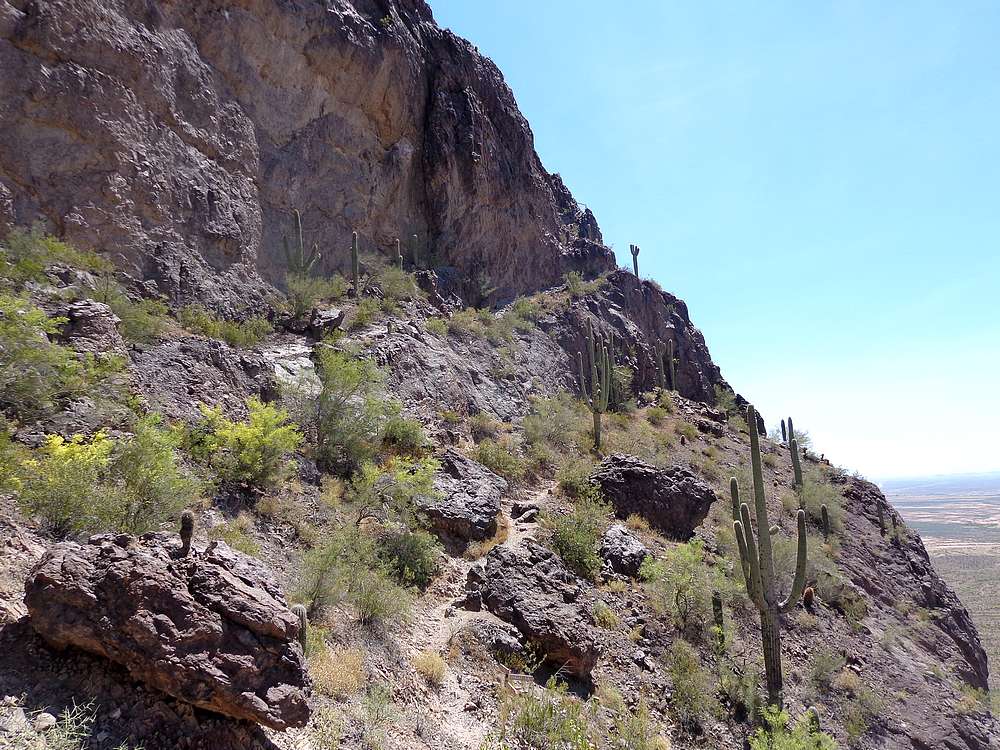
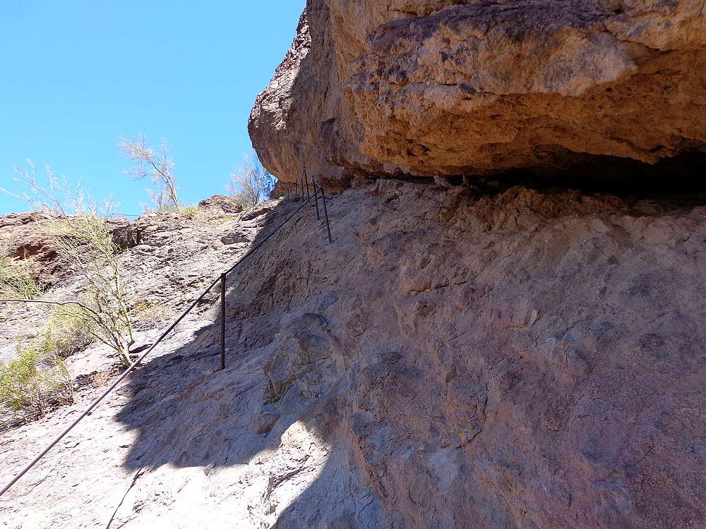
After checking out the views from Razorback Ridge, I carefully backtracked to the main trail, and started the steep descent to the south side of Picahco Peak. Steps and handrails had been added to ease the difficulty of the descent. After getting below the cliffs, the trail contoured around to the east, before climbing up to a cactus filled amphitheater, with more handrails and cables along the way.
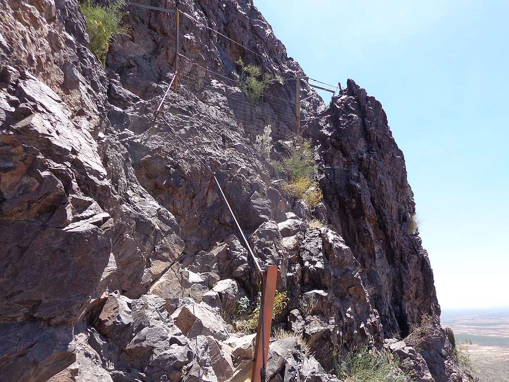
The steepest section of the day was the climb out of the amphitheater. It was a fun scramble up, via ferrata. I gained the summit plateau, and then followed the trail to the highpoint. I enjoyed the views, and a PB&J. But the summit was crowded with folks, so I didn’t stay long.
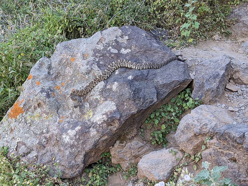
On the way down, the descent back into the amphitheater kept my attention, and re-climbing back to the saddle was a chore. A memorable highlight of the hike down was having to stop and wait for a large black tailed rattlesnake to cross the trail right in front of me. Wow!
Round trip was just under 4 miles and 2000’ of elevation gain in just over 3 hours of hiking. A fun and memorable hike, well worth the visit.
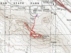
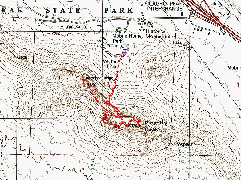
Map of the route, 4 miles and 2000' gain round trip. |
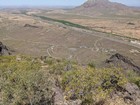
Heading up the Hunter Trail toward Picacho Peak. |
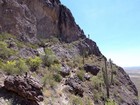
Side trip to Razorback Ridge. |
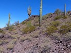
Saguaro Cactus on the way up Razorback. |
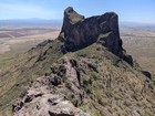
Highpoint of Razorback Ridge. |
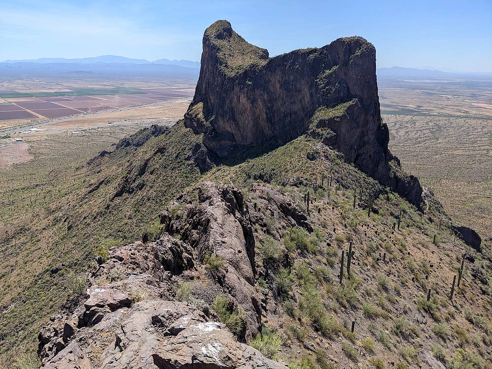
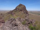
Picacho Peak from Razorback Ridge. |
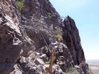
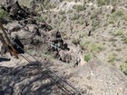
Descending to the south side of Picacho Peak. |
Heading back up the south side of Picacho Peak. |
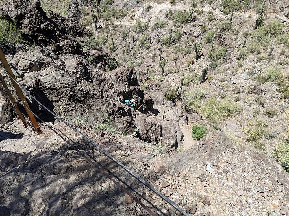
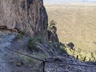
On of several cabled section of the climb. |
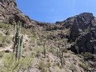
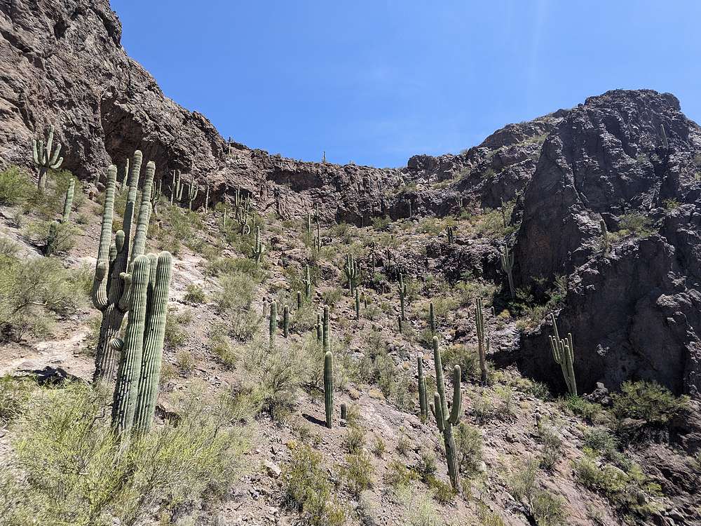
Neat stand of saguaro cactus on the way up. |
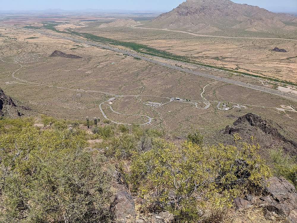
Looking down on the trailhead from the summit of Picacho Peak. |
Descending one of the steeper cable sections. |
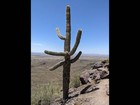
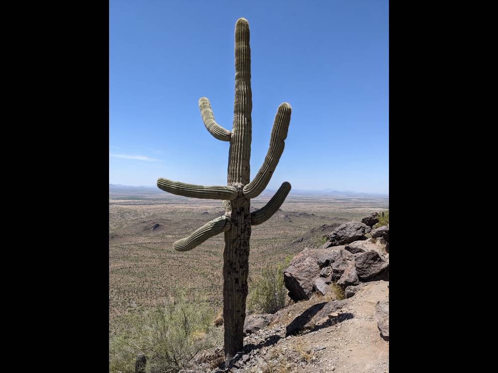
Big saguaro cactus next to the trail. |

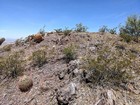
Reclimbing the trail back up to the saddle. |

Black Tailed Rattlesnake crossing the trail. |
|
|
|