|
The Orphan - Valley Of Fire
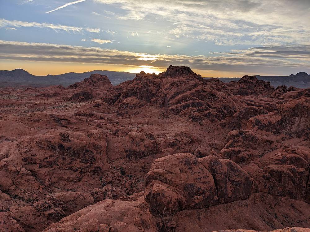
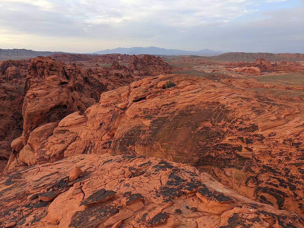
Valley of Fire State Park is located in southern Nevada, not too far northeast of Las Vegas. Its home to some amazing fiery red sandstone terrain, with an abundant supply of cliffs, pinnacles, and peaks. It’s a great place to visit for scenic drives and hikes through interesting terrain. For peak baggers, there are numerous mountains available to scramble up, many of which involve fun route finding but with fairly short mileage. One such mountain is located near the White Domes trailhead, and is called The Orphan. There are also a couple other peaks in the area that can be combined into a single outing, one of which is Peak 2431’, which is another fun scramble.
After reading about Valley of Fire, I knew I wanted to check it out on the way back from an Arizona road trip. There were many peak options to choose from, but The Orphan stood out as the most interesting to me.
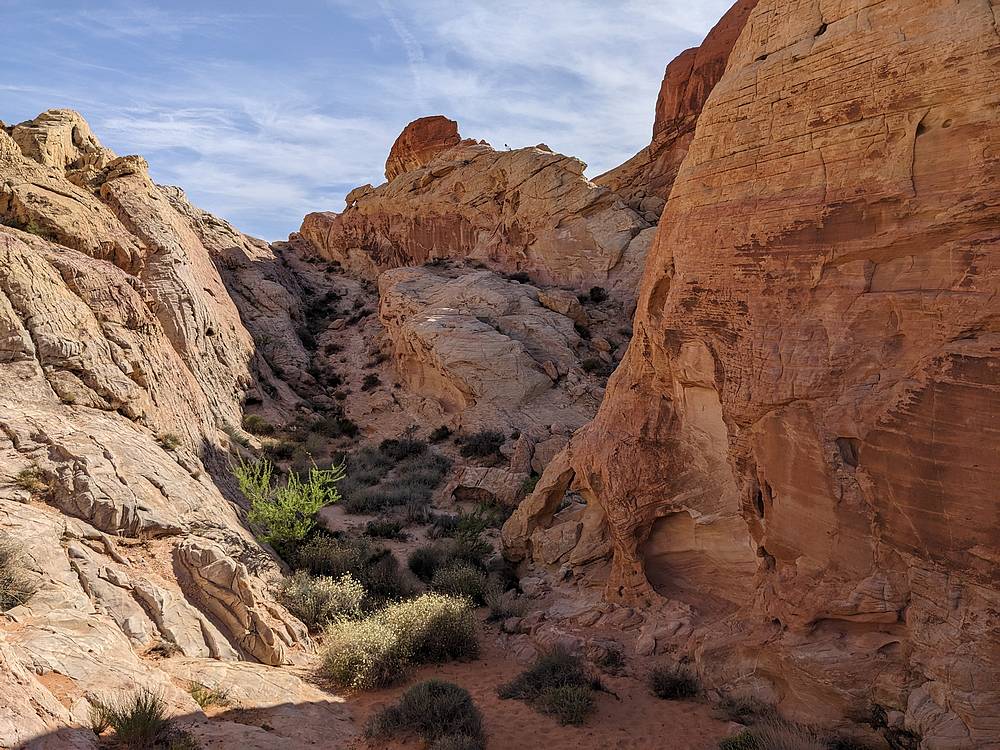
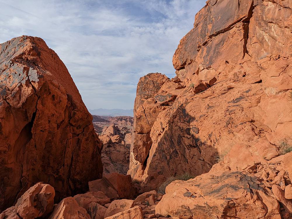
The park closes at sun down, and I arrived at the White Domes trailhead feeling like I had plenty of time to do a two peak loop, starting with Peak 2431’ and then The Orphan. So after chugging some water, and lathering on the sunscreen, I made my way southwest from the parking lot, heading toward Magnesite Wash. It was highly scenic red rock terrain, and I enjoyed the route-finding as I navigated through the various rock formations along the way.
It was about a mile and a half of hiking to reach the base of Peak 2431’. I climbed to the top of the obvious gully on the southwest side of the peak, then up to a ledge on the north shoulder of the summit block. There was a fun keyhole to squeeze through, then across the summit plateau to the highpoint. This lesser known peak is very cool in its own right.
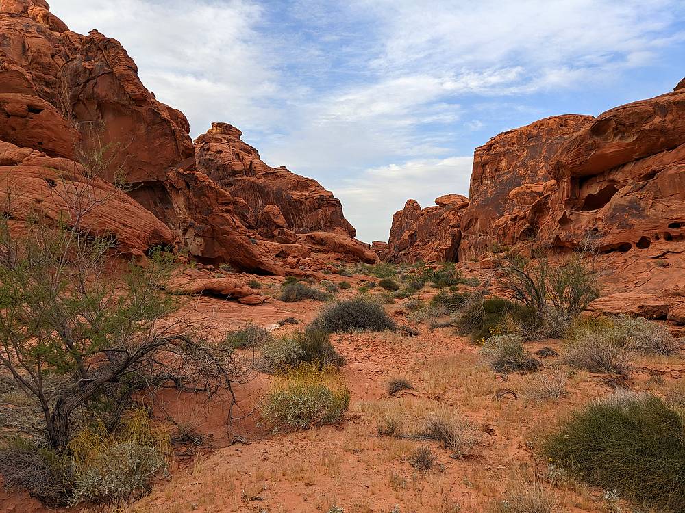
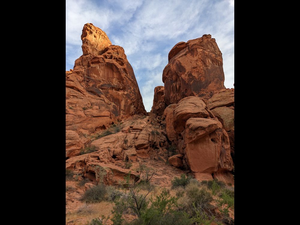
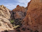
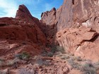
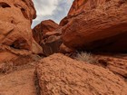
I retraced the route back down from Peak 2431’, then headed east toward The Orphan, crossing some cool terrain along the way. There is a neat draw that gives passage along the west side of the peak. I continued until I was just a little NNE of The Orphan, then headed south up a gully. There is quite a bit of route-finding, with some trial and error to find the right way up. Probably the highlight being a thin notch to shimmy through before reaching the summit block.
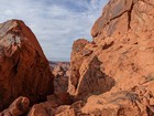
The final climb to the highpoint was the most confusing to me. I crossed through a key hole, traversed out onto an exposed ledge on the south face, and then up onto what ended up being the lower north summit. So back down through the keyhole I went, up through a notch, and a slabby section to the action highpoint. Such fun!
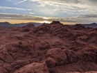
After a quick snack on the summit while watching the sun set, it was time to head down. All the route-finding took longer than expected, so I was behind schedule. Back down the peak I went, being careful in the sketchy sections. Once back down to the base of The Orphan, I headed north for a bit, then circled back around to the trailhead. The sun was down, and I was the last car in the parking lot, but no ranger and no ticket, so no harm no foul I guess.
Round trip was about 5 miles and 1500’ of elevation gain in about 3.5 hours of hiking. What a great area. Very scenic, and super fun route finding. Highly recommended!

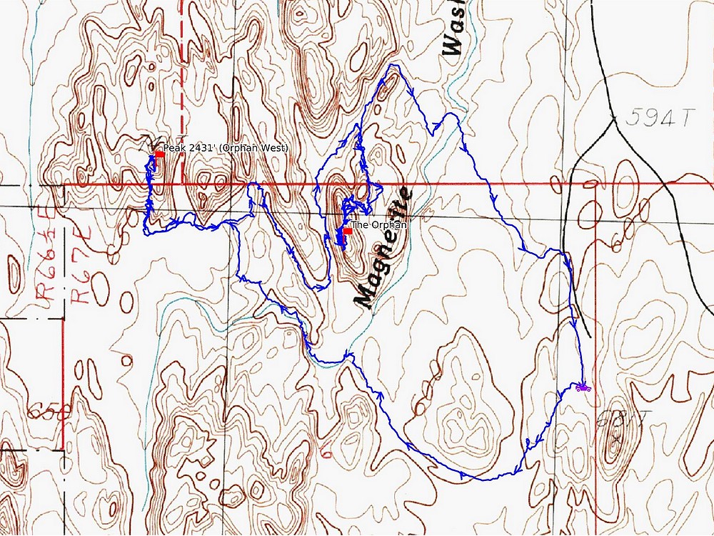
Map of the route, 5 miles and 1500' gain round trip. |
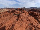
Several nooks and crannies crossing Magnesite Wash on the way to the first peak. |
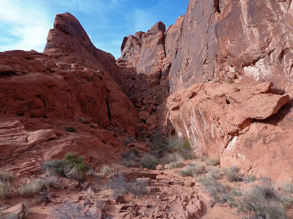
Base of the gully leading up Peak 2431'. |
At the top of the gully, head up to the ledge on the right. |
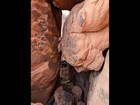
I left my pack behind to shimmy up through this keyhole. |
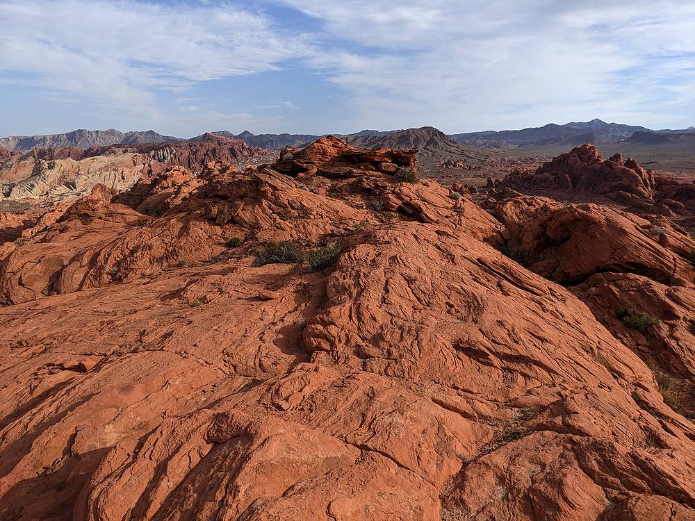
View toward the summit of Peak 2431'. |
Peak 2431' summit view. |
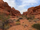
Back down and headed east to The Orphan. |
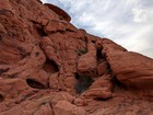
Cool rock formations along the way. |
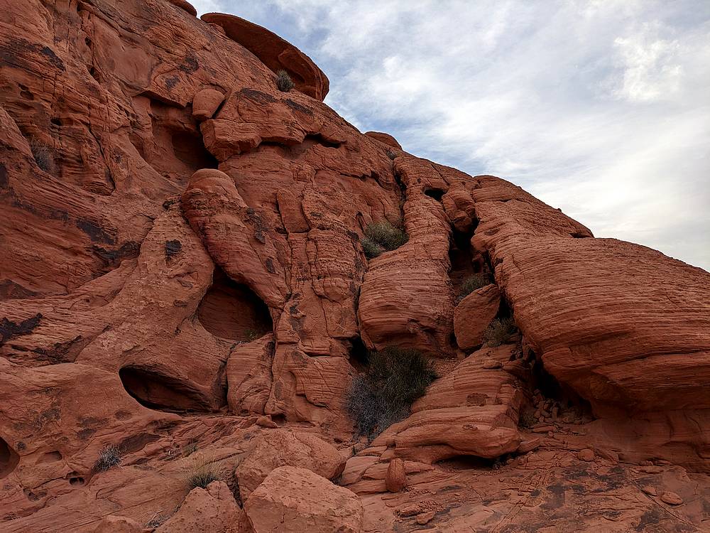
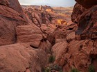
Scramble section low on The Orphan. Take the right-hand ridge. |
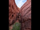
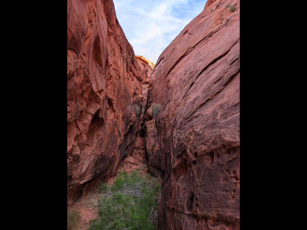
Tight notch to squeeze through on the way up. |
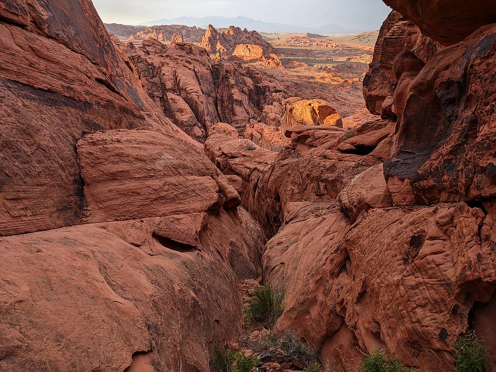
Looking back from above he notch. |
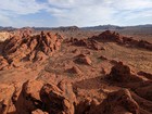
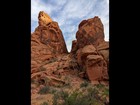
Summit of The Orphan comes into view. |

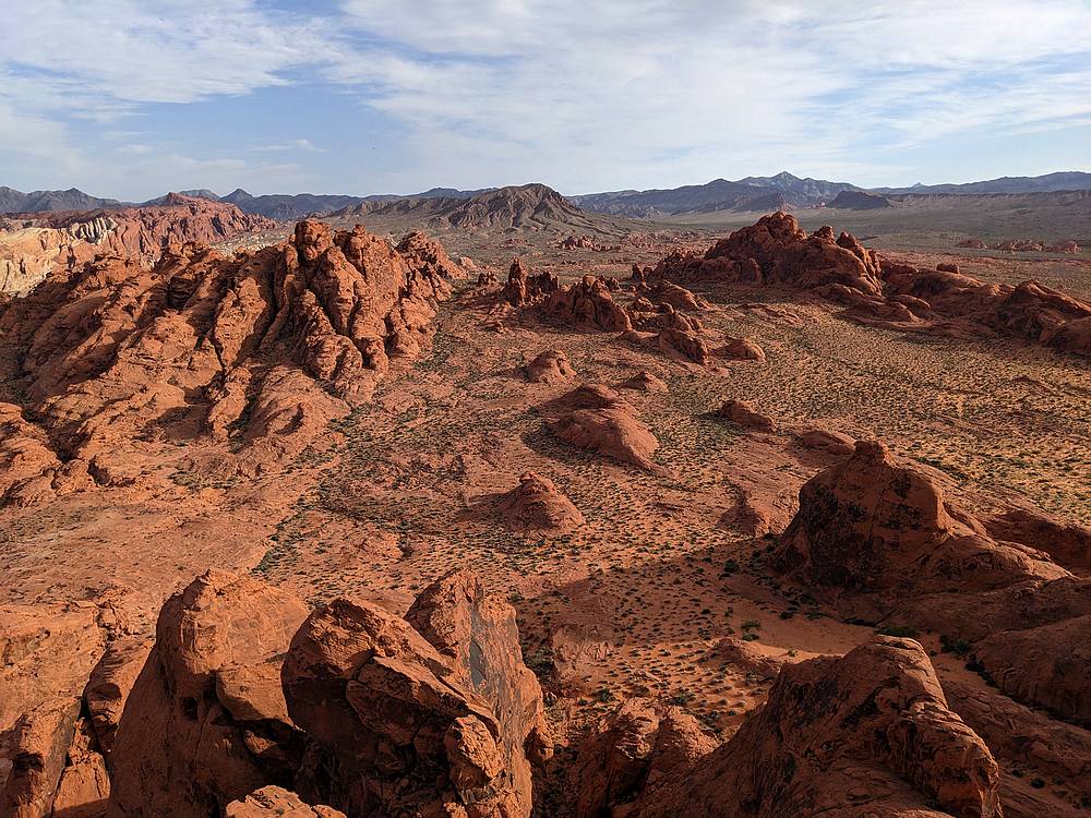
View from the summit of The Orphan. |
Peak 2431' from the summit of The Orphan. |
|
|
|