|
Bennett Mountain
Bennett Mountain dominates the local terrain not far north of Mountain Home, Idaho. It’s the highpoint of the Bennett Mountain Hills, and with almost two-thousand feet of prominence, offers up some fantastic views. The area is surrounded by high desert, with forested land higher up. There are actually two “peaks”. South Bennett being slightly shorter than the northern summit.
Bennett is also known for the quagmire of private and public lands one must navigate to reach the top. If approaching from the southwest, there is a 4WD road and long hike that stays on public land all the way to the top of South Bennett. Bennett Mountain itself is also located on public land, but there is small section of private land in between. And while this had been Access Yes land in the past, that designation is not currently in place, making it illegal to cross the private section without permission.
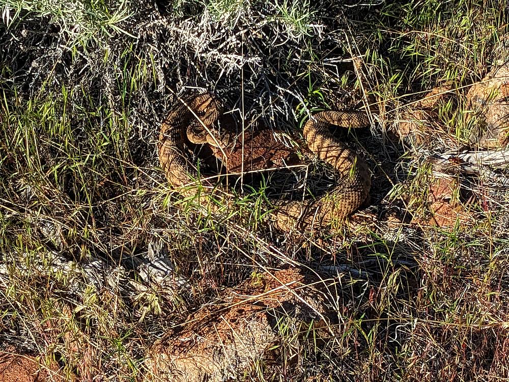
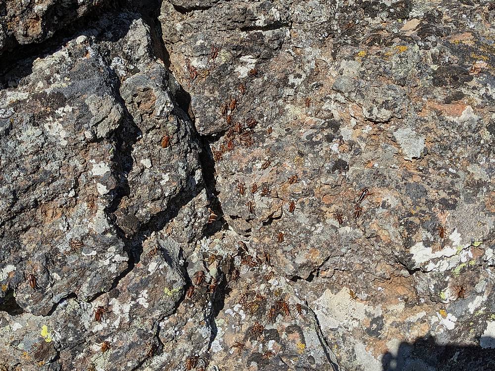
I decided to go explore since it was close to home. After leaving the highway on a dirt road near Tollgate Hill, I drove to the end of an unmapped 4WD road to a rim above Bennett Creek. Me and several thousand mormon crickets descended to the creek, and I was able to get across with only minor exposure to the abundant stinging nettles. After climbing back up out of the creek bottom, I continued east. Next, crossing Dive Creek was the crux of the day thanks to dense brush and a rattlesnake I almost stepped on.
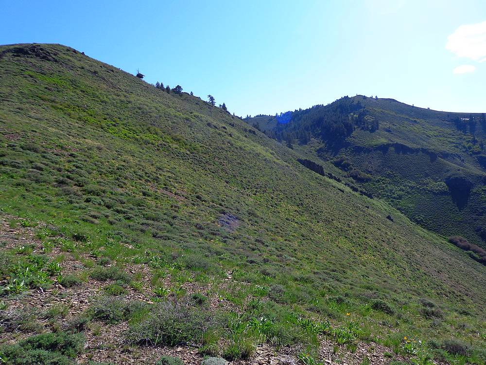
After Dive Creek, I turned southeast and contoured around the base of the mountain until reaching the foot of a ridge that would take me up South Bennett. Definitely a ton of game activity in the area, with progressively more deer, elk, and bear sign the higher I got. Near the summit, I could hear gun shots. It turn out to be a couple guys doing target practice. After exchanging pleasantries, I continued on.
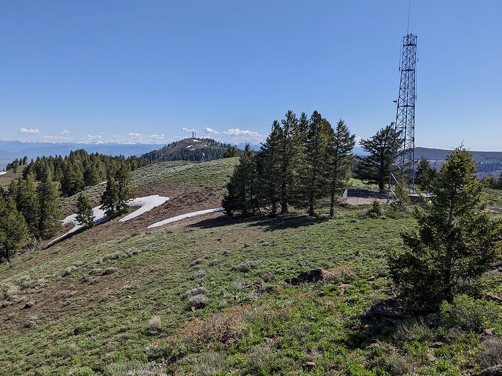
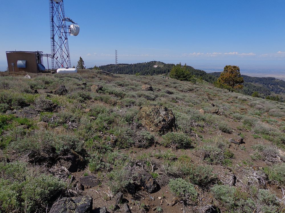
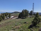
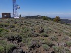
There are numerous communication towers along the ridge, and even though I went cross country instead of the road for a better ‘wilderness experience’, all the towers are hard to miss. A few even have accompanying buildings, including several structures visible on Bennett. The forest was nice and cool though, with a few lingering snow patches.
After some exploring, I returned to summit of South Bennett for my PB&J, and some time soaking in the views. I could just barely make out my pick-up down below in the distance, and the amount of ground left to cover motivated me to get a move on.
On the way back, I mostly retraced my steps, with some variation to avoid cows. I was pretty tuckered by the time I reached the truck. Round trip was just under 13 miles and 4600’ of elevation gain in just over 7 hours of hiking.
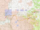
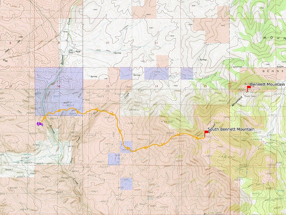
Map of the route, just under 13 miles and 4600' gain round trip. |

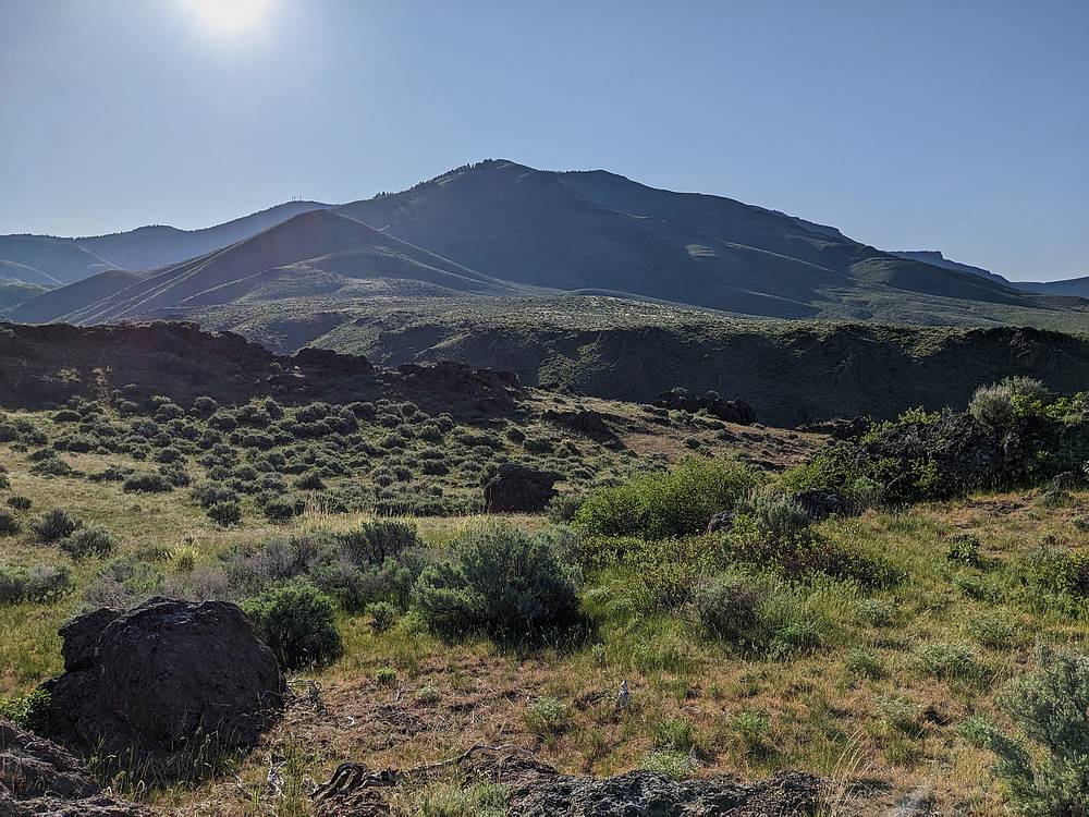
Bennett and South Bennett from the southeast. |
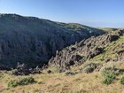
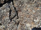
Basalt cliffs form a canyon on Dive Creek. |
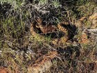
Almost stepped on this rattlesnake! |
Plenty of mormon crickets this year! |
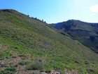
Climbing toward South Bennett. |
Bennett from South Bennett. |

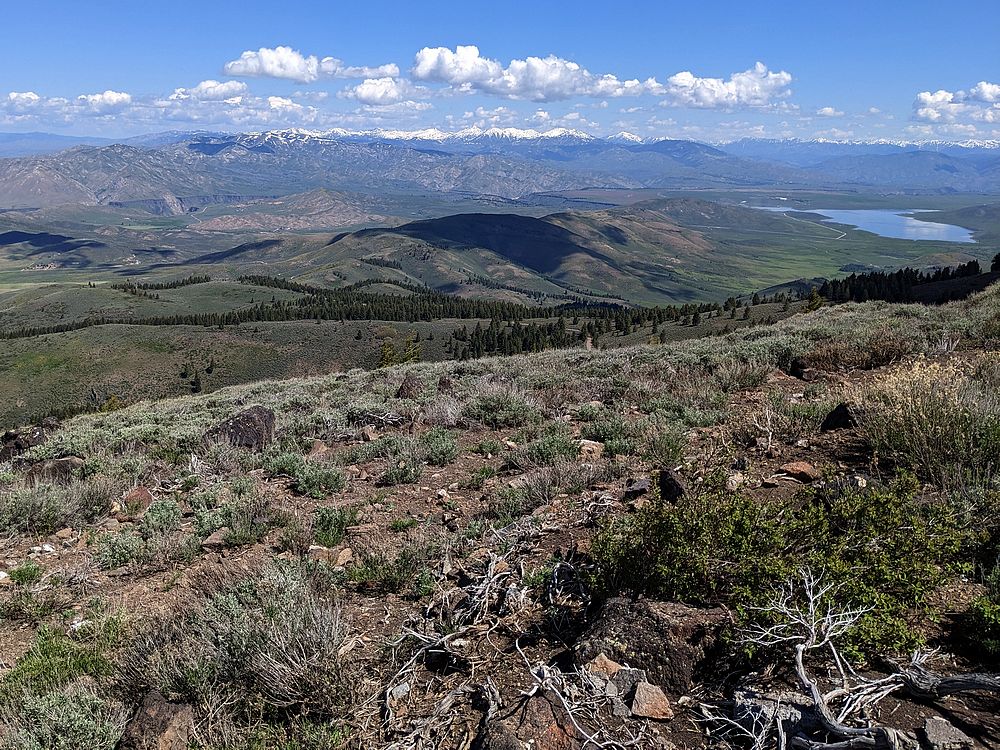
The Soldier Mountains from Bennett. |
South Bennett from Bennett. |
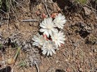
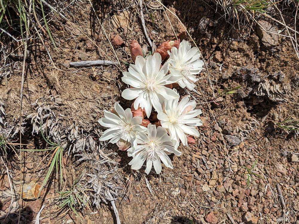
A good day for wildflowers. |
|
|
|