|
East Peak
Elevation 9380'
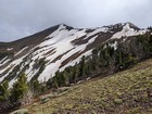
The Wallowa Mountains are located in northwest Oregon, and are a fantastic alpine mountain range. There is plenty of terrain to enjoy, including beautiful lakes, wildflower filled meadows, and rugged ridgelines. The east side of the range in home to aptly named East Peak. This peak makes for a popular hike in summer, thanks to easy access from the tram that brings visitors to the top of nearby Mount Howard.
My family and I were visiting Wallowa Lake for the weekend, and decided to take the tram ride up Mount Howard. After wandering the trails for a while, and enjoying the views, my family headed back and I embarked on the four mile round trip hike to East Peak.
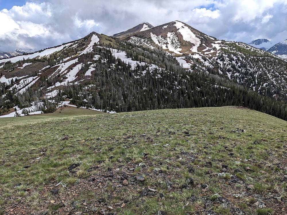
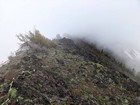
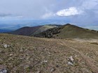
Clouds engulfed most of the ridgeline ahead as I descended from Mount Howard to the saddle to the south. Wildflowers were starting to emerge as the snow was still receding, and I did my best to stick with the trail, still partially obscured by snow patches. Not a great weather day, but it made for some neat moody scenery with the clouds coming and going.
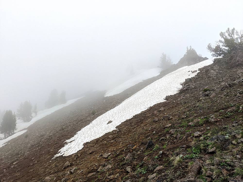
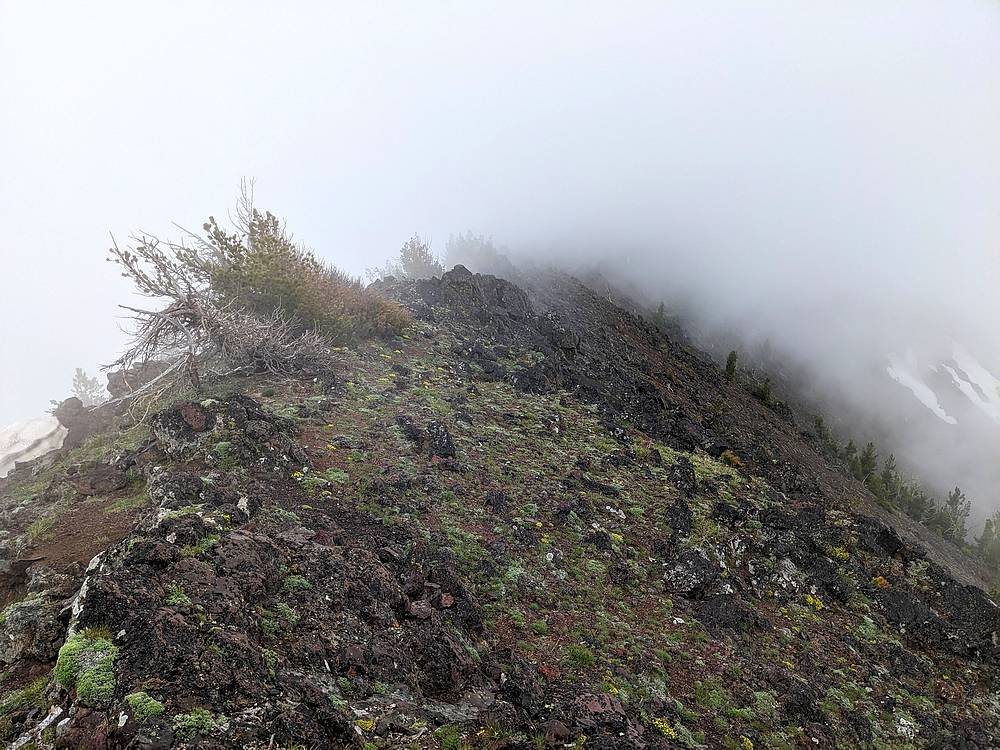
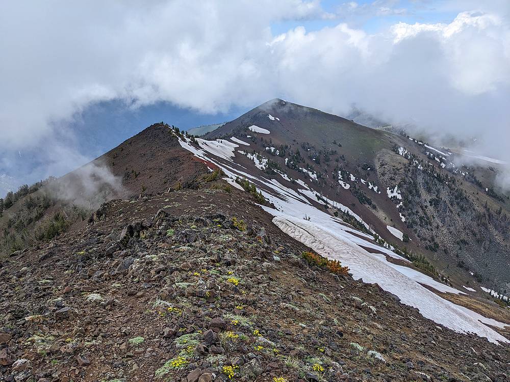
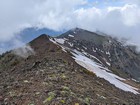
A light rain started as I neared the main north ridge of East Peak, and visibility was only about 50 feet as I wandered up the ridge. There was a bit of a goat trail, and some light scrambling as I made my way to the summit. I’d considered continuing another mile to Hidden Peak, less than a mile further up the ridge. But decided not to since I probably wouldn’t make it back in time to catch the last tram car of the day at 4:45.
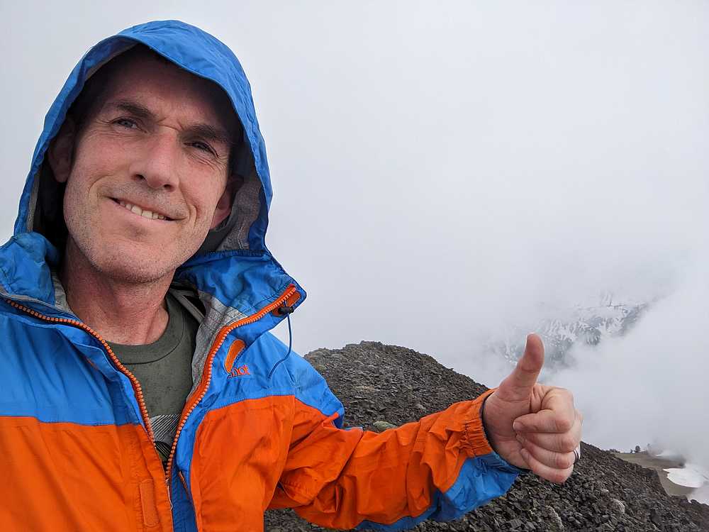
The rain had mostly stopped at this point, so I sat down and enjoyed a PB&J on the summit. On the way back, the clouds cleared a bit and views opened up. I enjoyed the beautiful scenery as I retraced my path back to the tram station, 15 minutes to spare! Round trip was just over 4 miles and 1400 feet of elevation gain, in 2 hours of hiking.
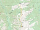
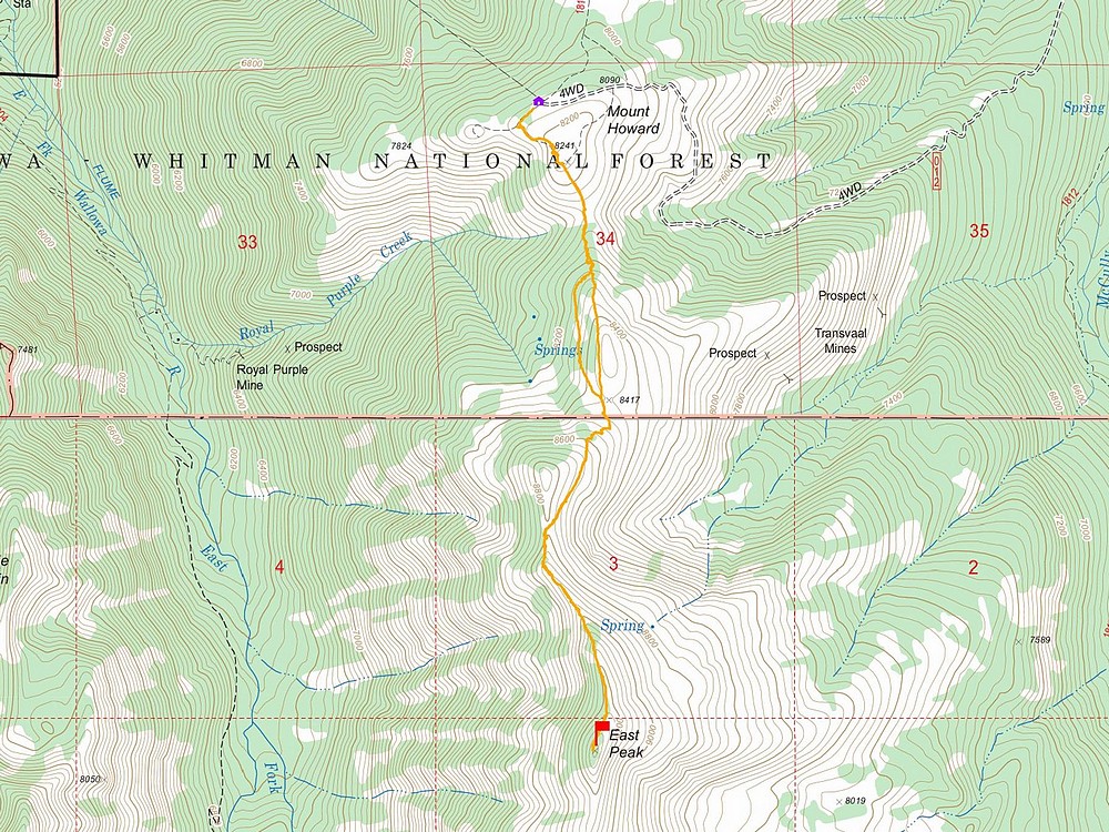
Map of the route, just over 4 miles and 1400' gain round trip. |
View south from the overlook west of Mt Howard. |
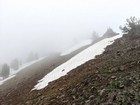
Cloudy as I climbed. |
Heading up the ridge. |
Summit of East Peak. |
Clouds lifting during descent. |
Looking back on the north ridge of East Peak. |
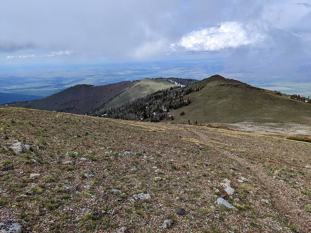
View of Mount Howard during the descent. |

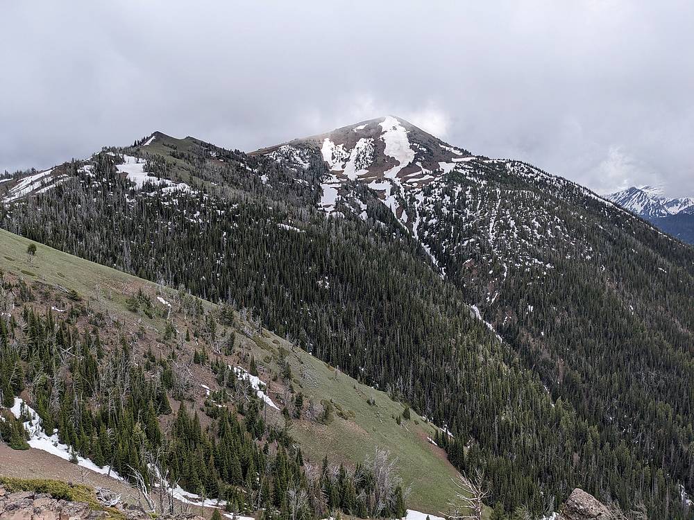
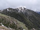
East Peak from Mount Howard. |
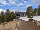
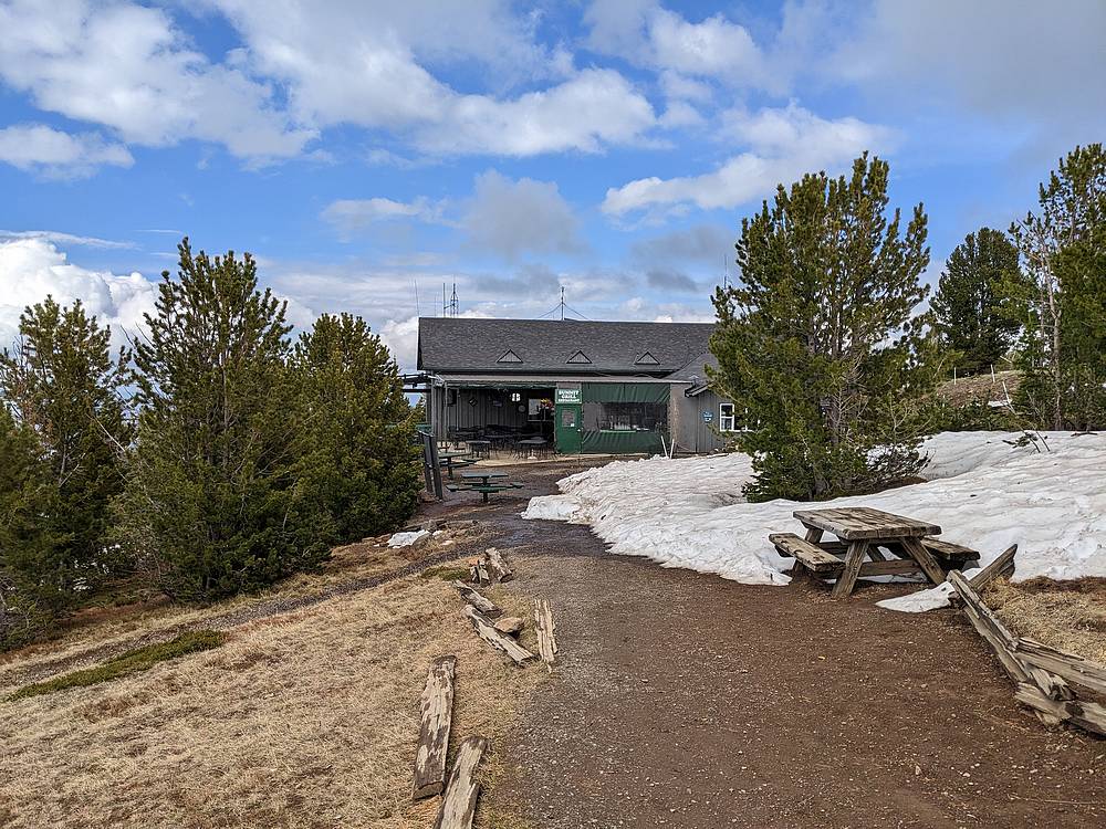
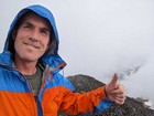
Back at the tram station. |
|
|
|