|
White Knob Traverse
|
Related Links:
- Splattski Trip Report
- IdahoSummits - Shelly & Redbird
- IdahoSummits - N Cabin & Cabin
- Trailhead Location
- My GPS Tracks
- Upper Lupine Peak: TL LOJ, Map
- Rhyolite Knob: TL, LOJ, Map
- North CabinMtn: TL, PB, LOJ, Map
- Cabin Mtn: TL, SP, PB, LOJ, Map
- Lime Mtn: TL, SP, PB, LOJ, Map
- Redbird Mtn: TL, SP, PB, LOJ, Map
- Shelly Mtn: TL, SP, PB, LOJ, Map
- Lupine Mtn: TL, LOJ, Map
- Antelope Pass Peak: TL, PB, LOJ, Map
|
The White Knob Mountains are located in eastern Idaho, between Copper Basin and the Lost River Valley. The range is somewhat small in area, but is home to several high peaks, including five 11,000 footers. It is possible for ambitious climbers to summit all five of these peaks in a single ridge traverse. The peaks are most commonly accessed form the northeast side, but I was hoping to try an approach from the southwest.
After a long but scenic 5 hour drive from Boise, via Copper Basin, I made it to the Copper Basin landing strip area. Maps and satellite views showed a couple different roads leading high up into the White Knobs. But after a mile or so of rough driving above Copper Basin Mine, I found that road was blocked to motorized traffic by the USFS, at around 8500’. Next I tried FS Road 515 near ‘The Swamps’. And it was blocked at about 8100’. I parked here because it was getting dark, and decided to make this my trailhead. I was within striking distance, but it was going to make an already long day, even longer.
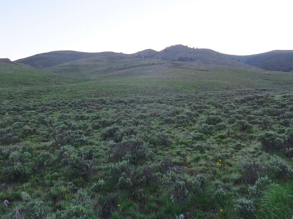
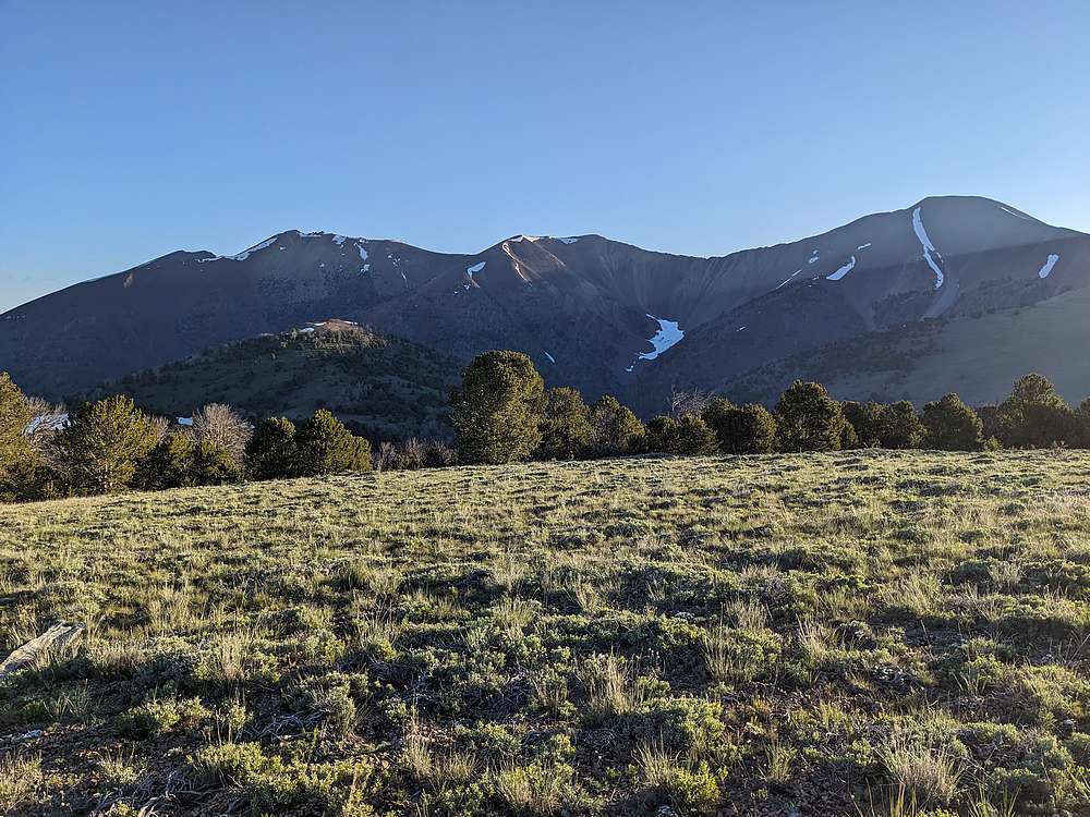
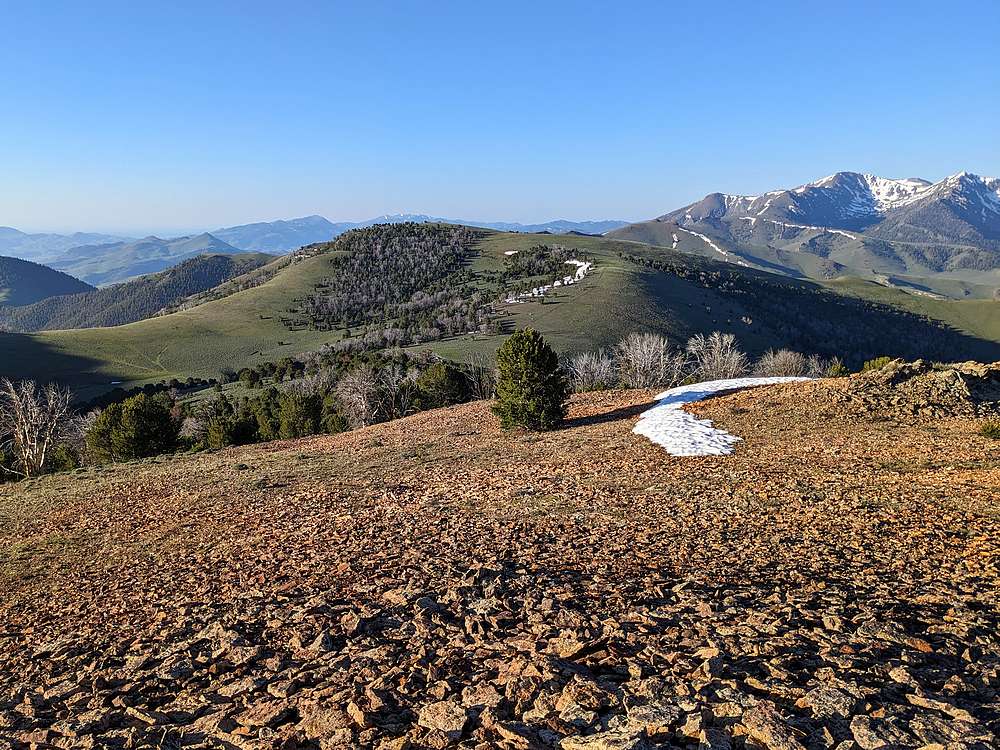
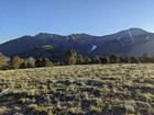
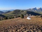
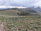
I woke up early the next morning and was hiking before 6am. Sagebrush and wildflower covered slopes took me northeast toward the ridge, passing a couple elk along the way. Once on the ridge, I followed an old jeep “road” east to the rounded summit of ‘Upper Lupine Peak’. (Rick Baugher name.) It was a beautiful morning, with exceptional views of the main White Knob crest, as I hiked east to ‘Rhyolite Knob’ (another Baugher name).
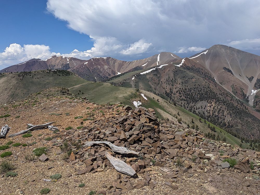
The summit of Rhyolite Knob was a good vantage point to check out the high peaks above me, and Cabin Creek below me. Next up was a steep descent down to Cabin Creek, where I was fortunate to find a big log to allow the creek crossing, and a game trail leading to the base of the south ridge of Cabin Mountain.
I planned to use this somewhat faint ridge to climb up to the main crest. It actually went better than planned, with fairly stable talus to climb. I was even able to find a decent goat trail traversing the slopes toward the saddle between Cabin and North Cabin Mountains.
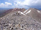
The ridge to North Cabin Mountain had no obstacles, and I made it to this first 11er summit by 10:30am. After snapping some photos, I was on the move again, retracing my path back to the saddle, and then heading up the northwest ridge of Cabin Mountain. There were just a couple easy scramble moves on the way up Cabin, it wasn’t long before I was on the summit. I was feeling blessed to be out enjoying such a beautiful day in the mountains. But I still had a lot of ground to cover, so off I went.
A few more scramble moves descending the east ridge of Cabin Mountain, and I soon spotted another hiker in the distance. It ended up being a gentleman from Rupert who had ridden his ATV to the head of Stewart Canyon, and hike up to the ridge. I took a few photos for him, and continued on my way toward Lime Mountain.
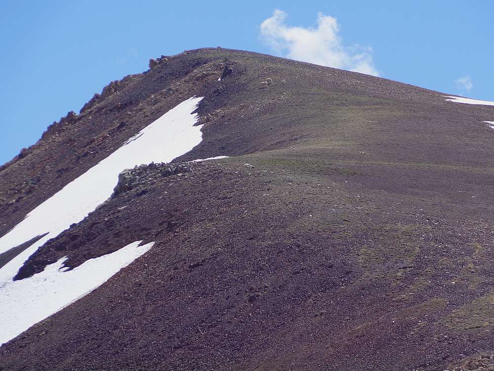
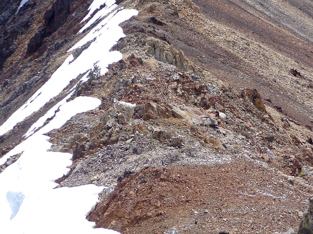
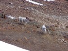
I spotted three mountain goats just below the summit of Lime Mountain, but they scurried out of sight before I got there. From the summit of Lime, I spotted 2 more shaggy looking goats to the north, and then 3 more in the distance to east. Seeing 8 mountain goats was a highlight of the day.
From Lime Mountain, I continued southeast along the crest toward Redbird Mountain. With various goat trails to follow along the way, route-finding was pretty easy, and I made it to the summit of Redbird without incident.
On the summit of Redbird, I noticed the wind picking up a little. And when I looked behind me, I could see a rainstorm in Copper Basin that was heading my way quickly. I decided that an exposed summit was no place to be in a thunderstorm, so I hustled down the ridge to the saddle between Redbird and Shelly Mountain. The storm caught up with me here, complete with hail and booming thunder. There was no cover, so I just donned my rain jacket, and hunkered down with my back to the wind. I sat there for about 15 minutes getting pelted by hail, with thunder crashing. Fortunately no lighting, but still kinda scary.
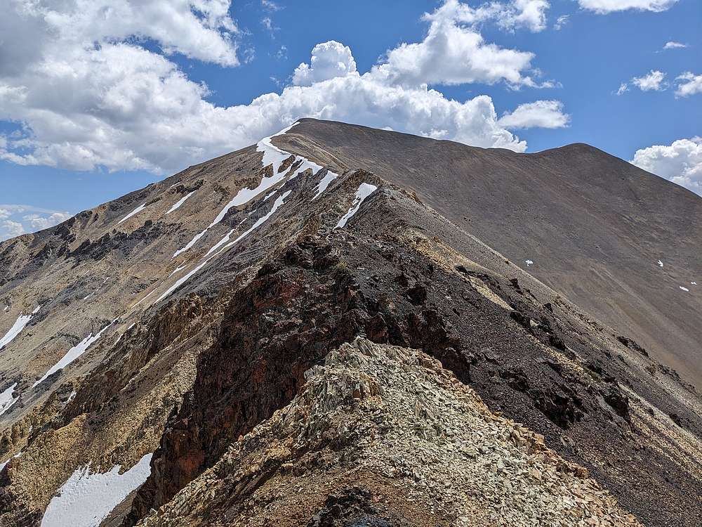
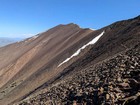
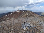
I was thankful when the storm passed, and the sun came back out. Now it was time to head up Shelly Mountain, the highpoint of the White Knobs. This was the steepest section of ridgeline for the day, but still not too bad, and I arrived at the summit of Shell Mountain excited to be on my fifth 11er of the day. It was now 2pm, and even though I had covered a lot of ground, I was feeling good and started thinking about a couple more peaks to the south. Hmmmm.
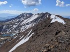
The descent down the southwest ridge of Shelly Mountain went without issue, and then I had to re-climb to the shoulder of ‘Upper Lupine Peak’, where I hid under some trees to wait out another short rainstorm. From here, I then followed a jeep road descending south toward Lupine Mountain.
Looking at my watch, I was ahead of schedule for my 5pm trailhead target, so I decided to continue along the ridge. My parking spot above ‘The Swamps’ wasn’t what I had planned, but it put me in position to add a couple more peaks without adding a whole lot more distance. Bonus!
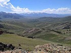
The sun had come out, and the ridge leading to Lupine Mountain was a great vantage point to check out beautiful Copper Basin. Once on the summit, I also had a fantastic view of the White Knob crest behind me. From here I continued south, all the way to ‘Antelope Pass Peak’, which also offered up some great views from its rocky summit. Now all that remained was an easy descent, via sagebrush slopes, back to my parking spot, where I arrived just before 5pm.
Wow, what a great day in the mountains! New terrain, awesome scenery, and a total of 9 summits! Roundtrip was a whopping 16 miles and 7200’ of elevation gain in 11 hours of hiking. I was going to sleep good tonight!
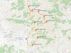
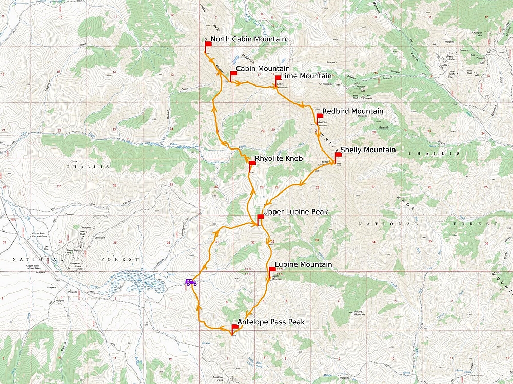
Map of the route, 16 miles and 7200' gain round trip. |
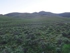
Heading up sagebrush slopes at the start. |
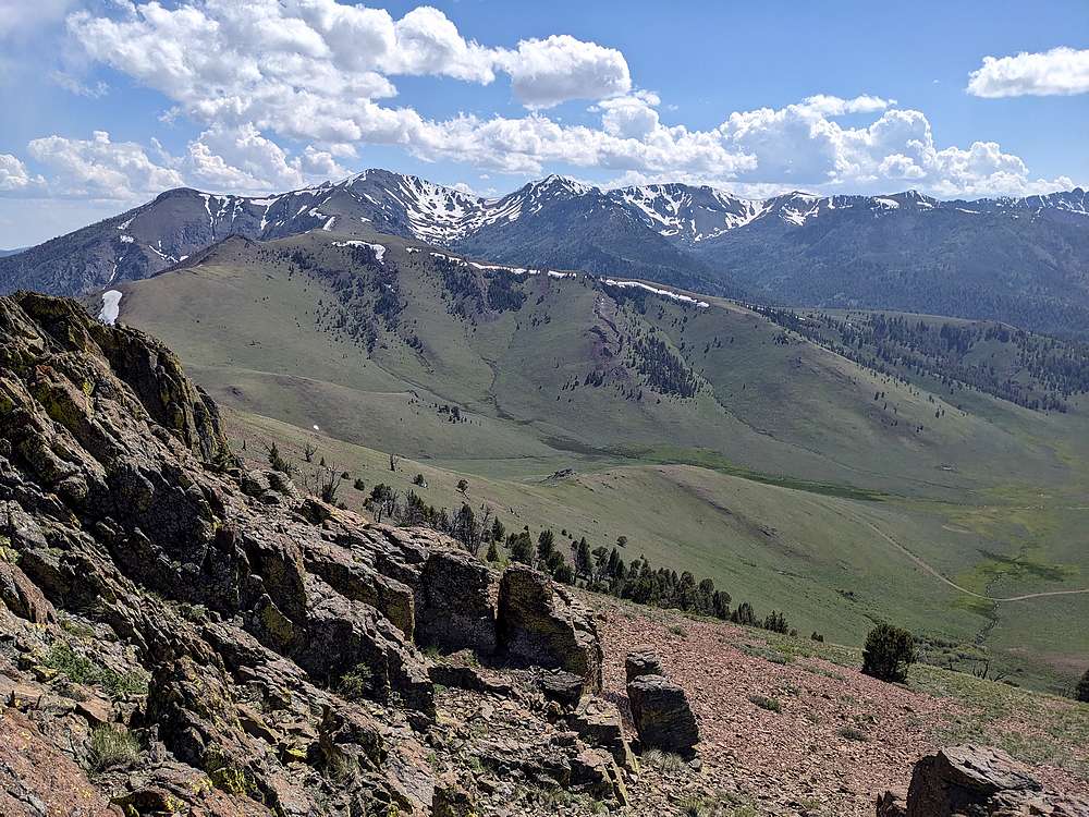
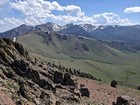
White Knob crest from 'Upper Lupine Peak'. |
Looking back on 'Upper Lupine Peak' from 'Rhyolite Knob'. |
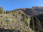
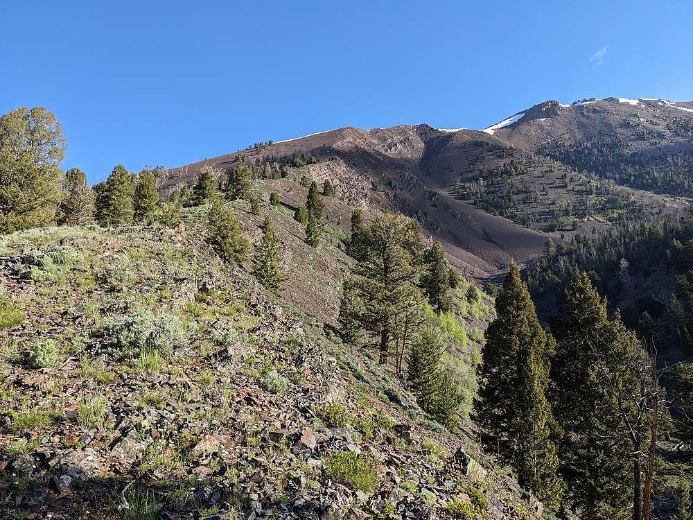
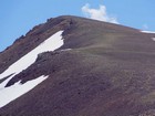
I climbed this ridge on the south side of Cabin Mountain. |
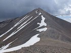
North Cabin Mountain from the south. |
White Knob crest from the north shoulder of North Cabin. |
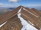
Looking back on North Cabin Mountain. |
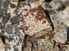
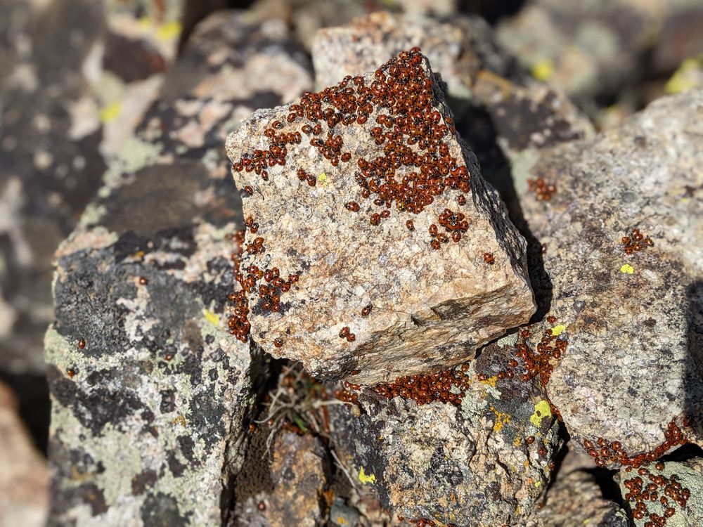
Lady bugs on the summit of Cabin Mountain. |
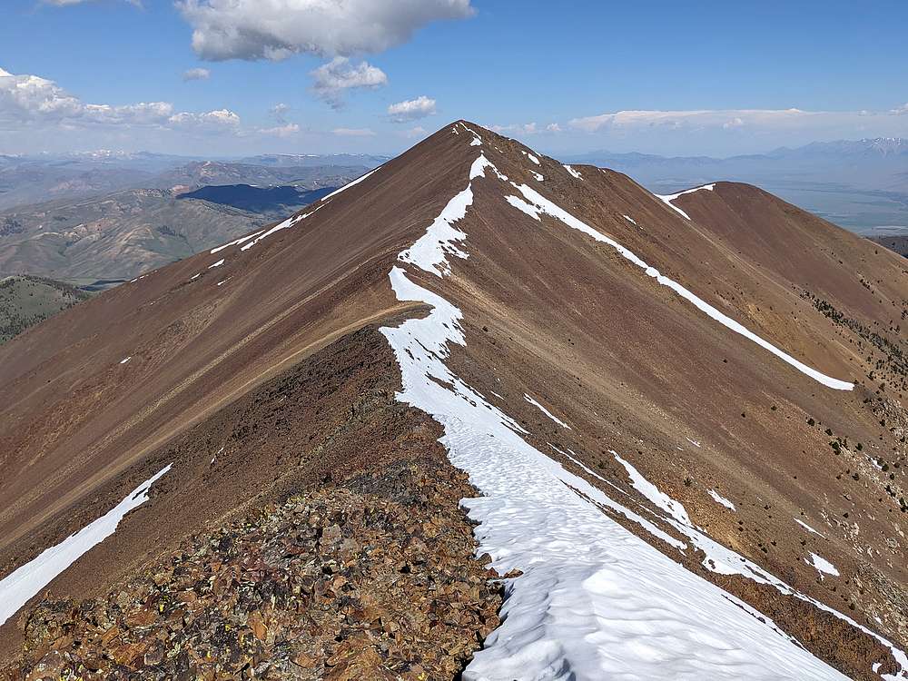
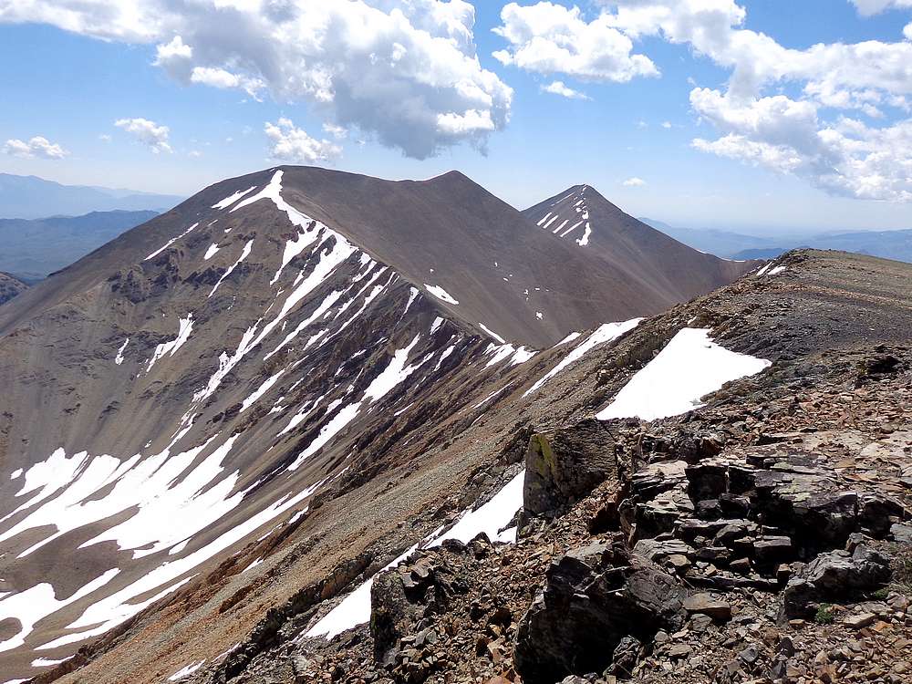
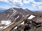
Lime, Redbird, and Shelly from the Cabin Mountain. |
Looking down my at ascent ridge, from Cabin. |
Mountain goats near the summit of Lime Mountain. |
Redbird and Shelly from Lime. |
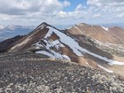
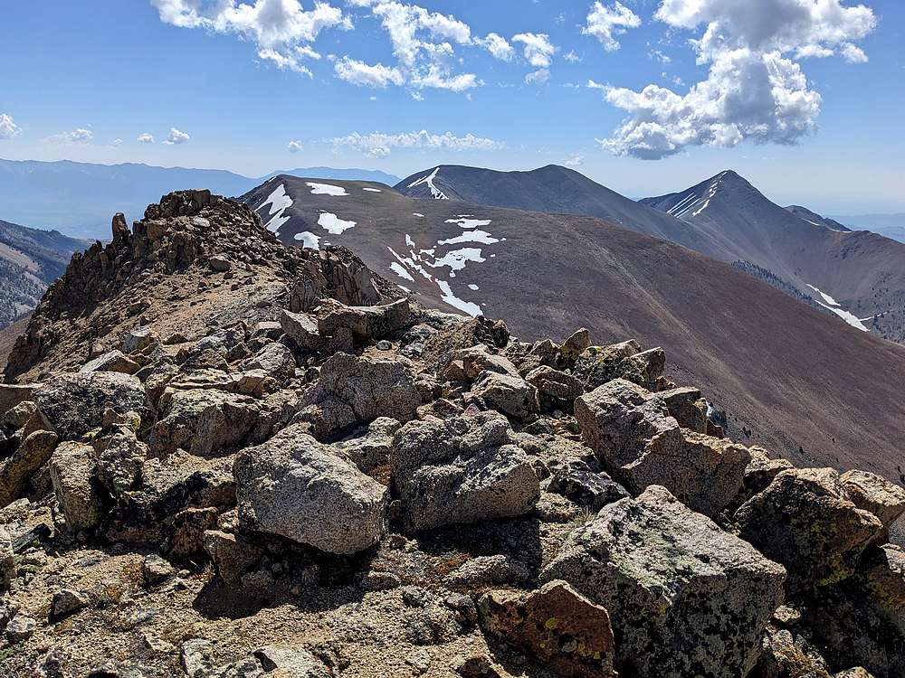
Looking back on Cabin and North Cabin from Lime. |
Shaggy goats just north of Lime's summit. |
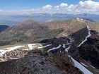
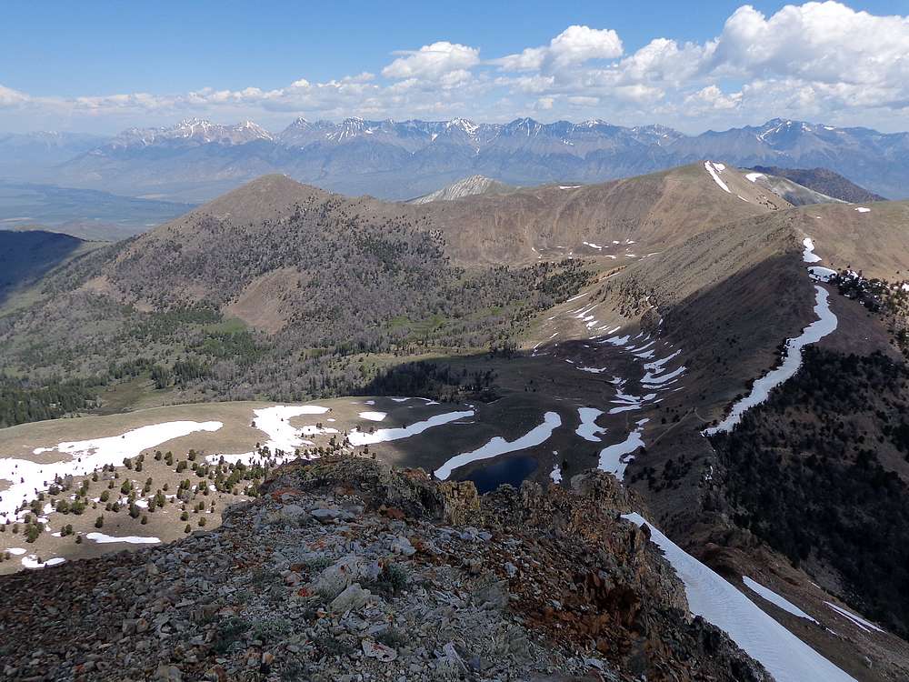
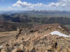
Headwaters of Coral Creek, with Mount Borah and the Lost River Range in the distance. |

Goats on the east ride of Lime Mountain. |
Looking up the west ridge of Redbird Mountain. |
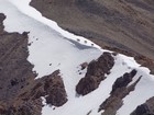
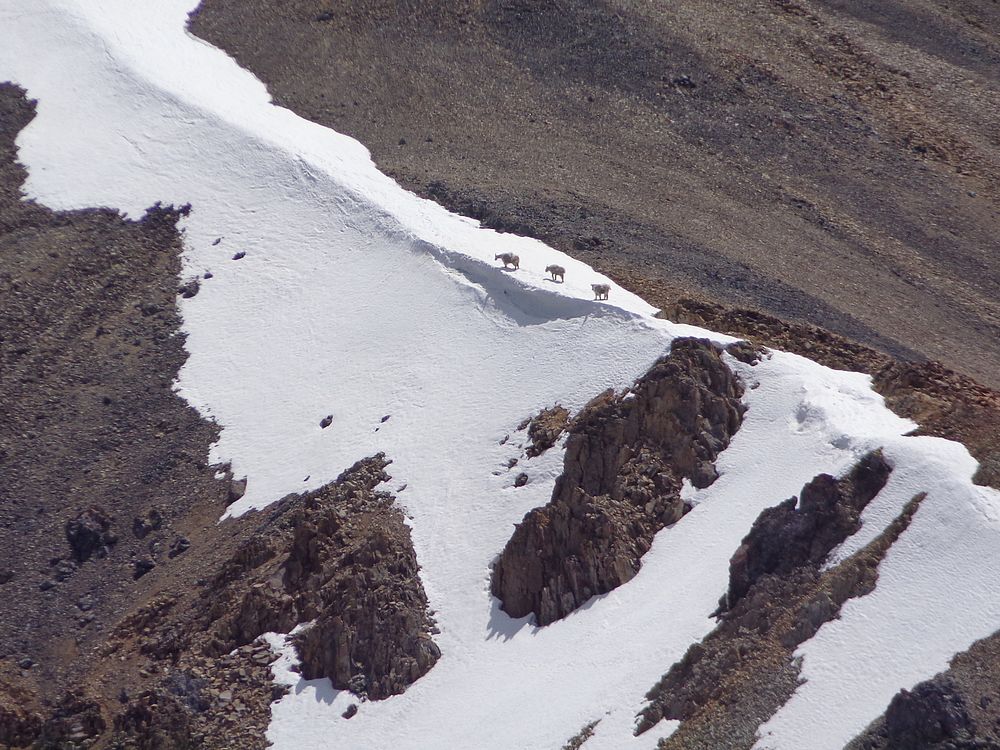
Close up of goats peering over a snowbank on the ridge below Redbird. |
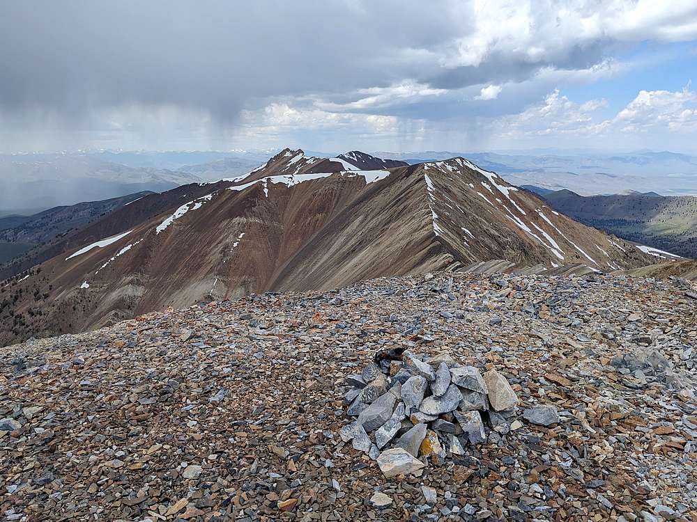
Lime, Cabin, and North Cabin from Redbird Mountain. Storm clouds coming! |
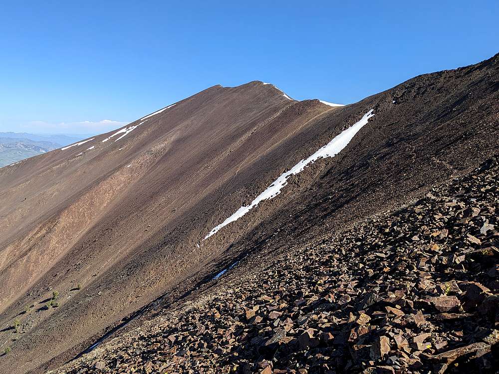
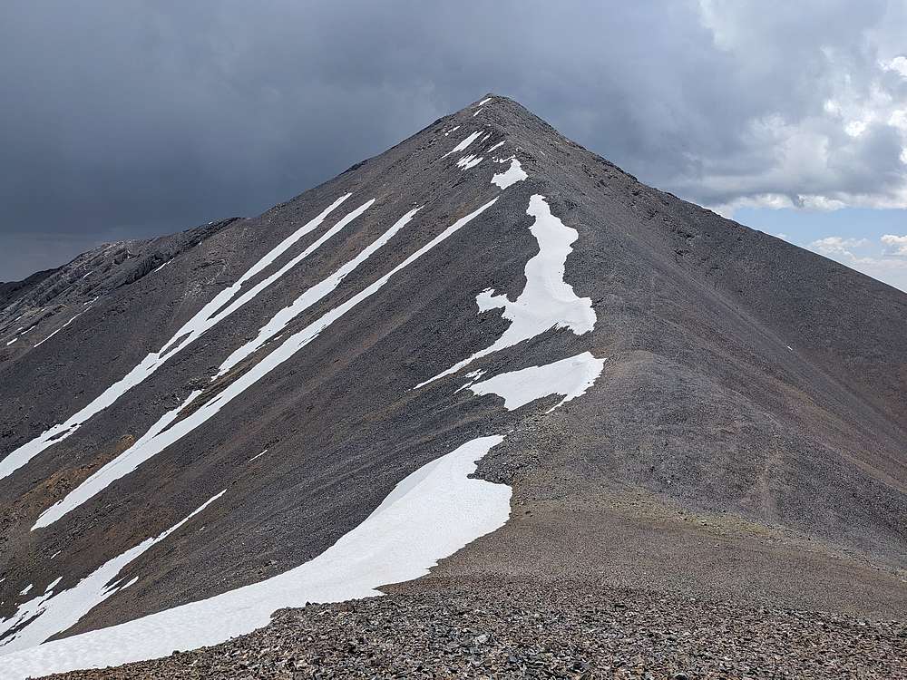
Looking up the northwest ridge of Shelly Mountain. |
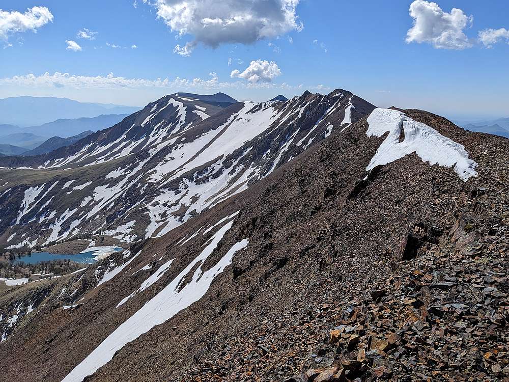
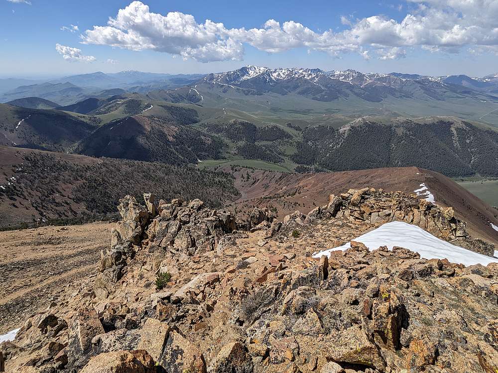
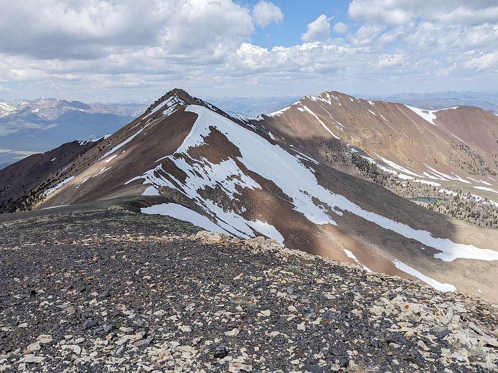
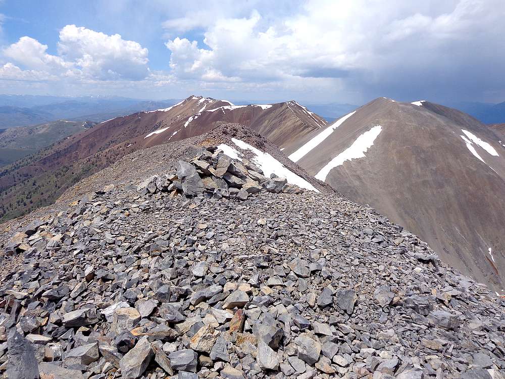
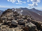
White Knob crest from the summit of Shelly. |
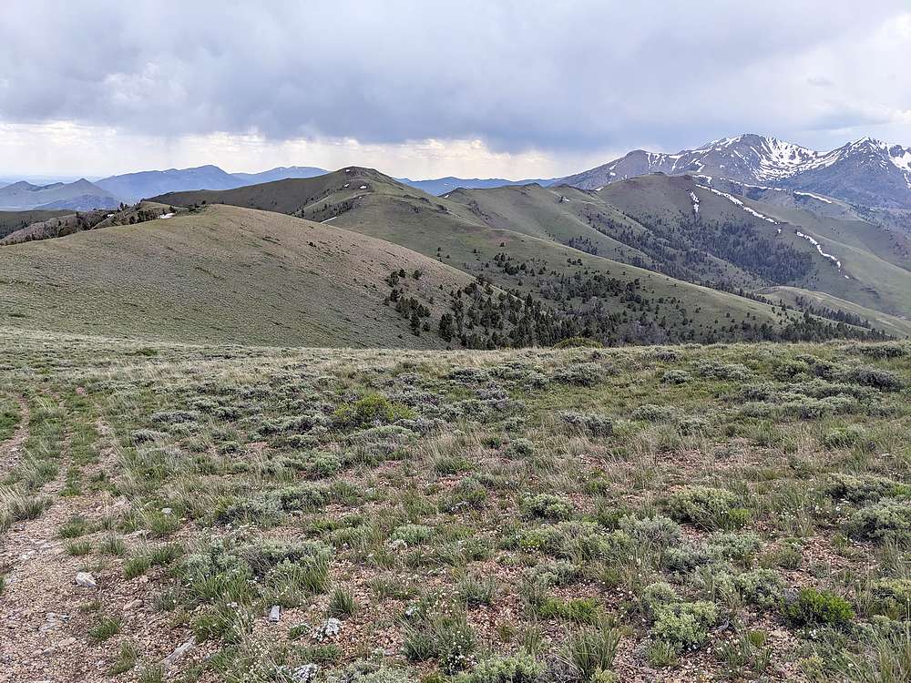
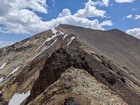
Undulating ridge leading south to Lupine Mountain. |
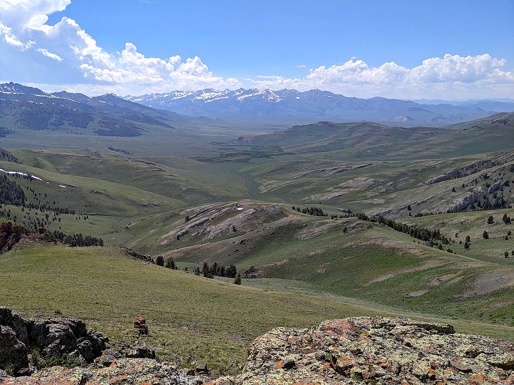
Copper Basin and Pioneer Mountains from Lupine Mountain. |
The Smiley Lobe of the Pioneer Mountains from Antelope Pass Peak. |
|
|
|