|
|
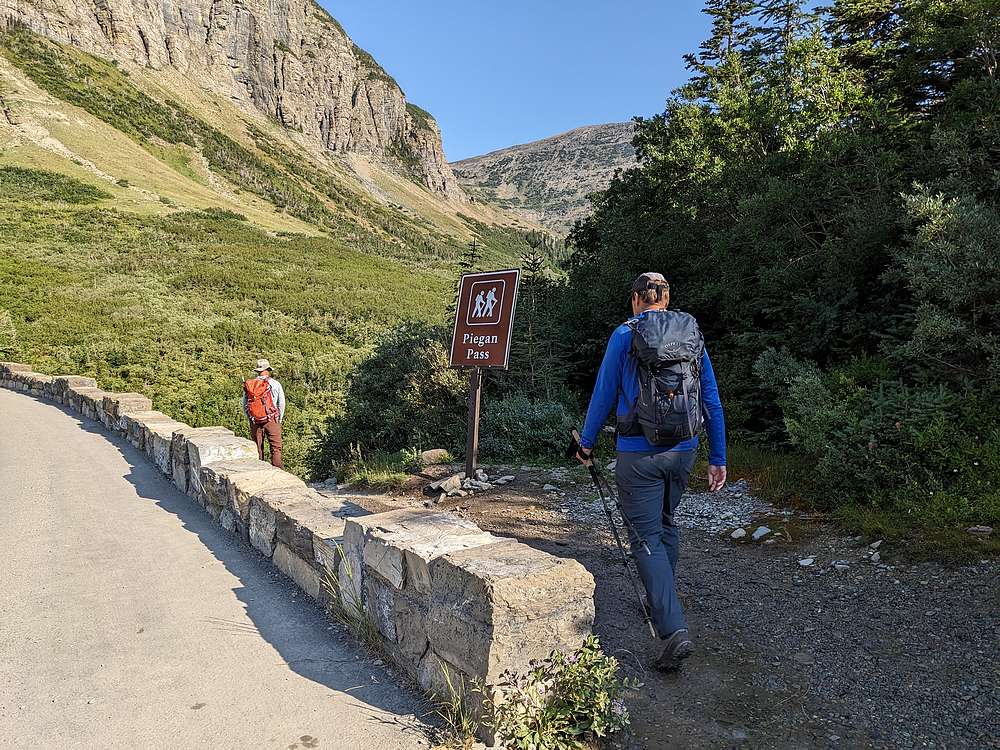
John, Michael, and I scored a campsite at Apgar CG the night before, which put us in position to grab a parking spot at the popular trailhead.
|
|
|
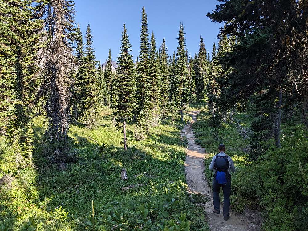
The early section of trail was very pleasant.
|
|
|
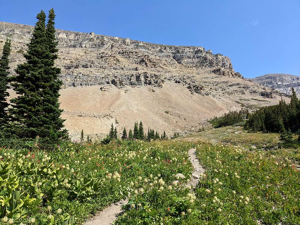
Once in Preston Park, we took a less traveled climbers trail toward the south face of Siyeh.
|
|
|
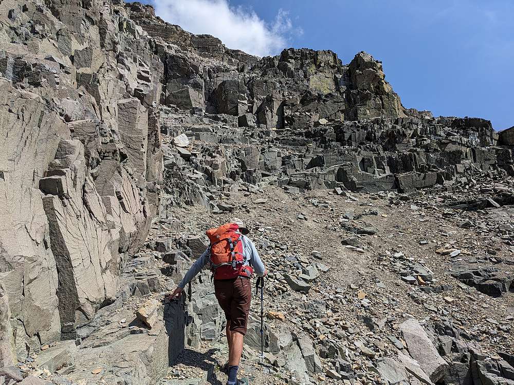
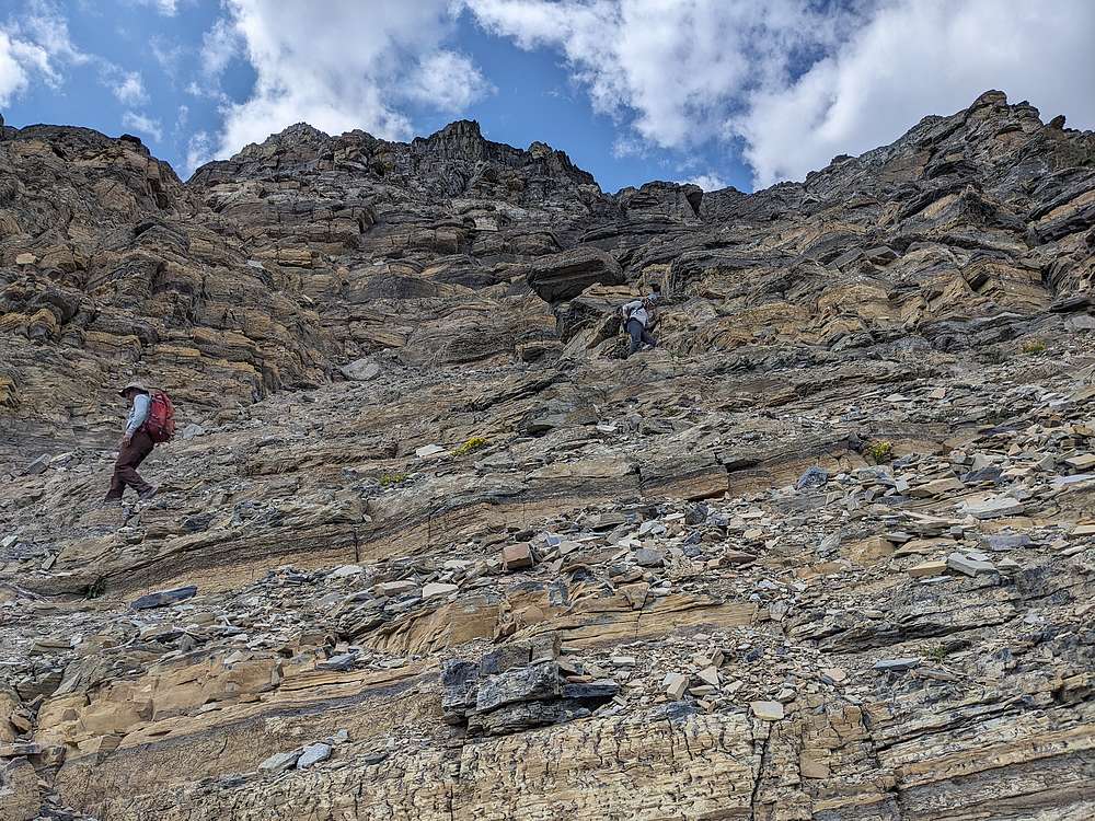
The route got steep in a hurry as we climbed talus slopes to the base of the cliffs.
|
|
|
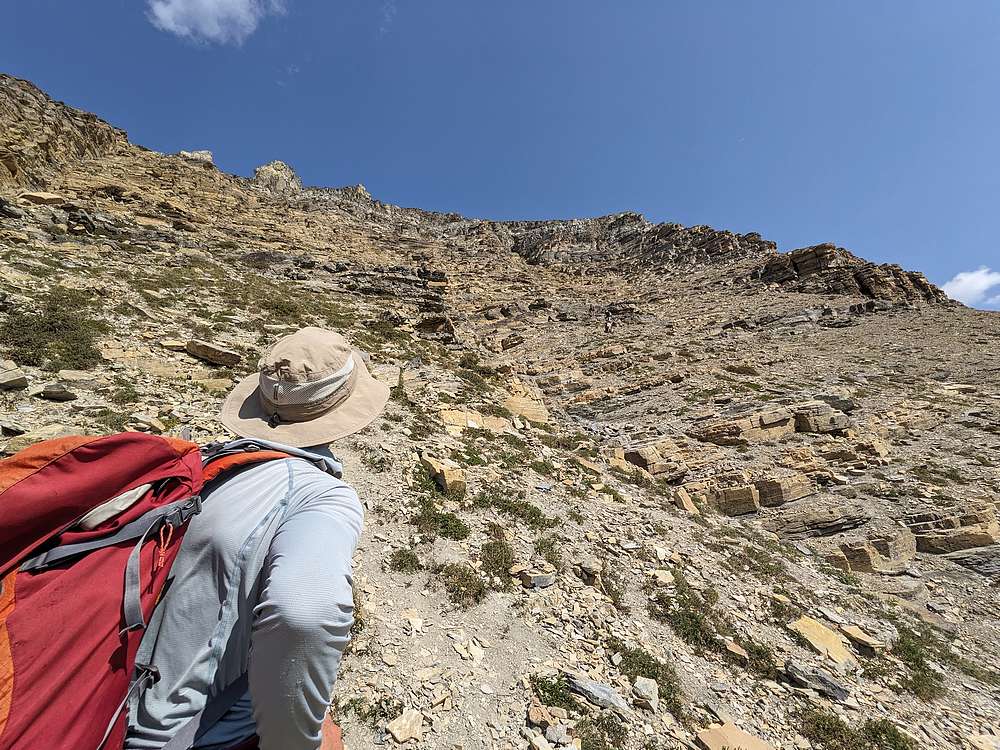
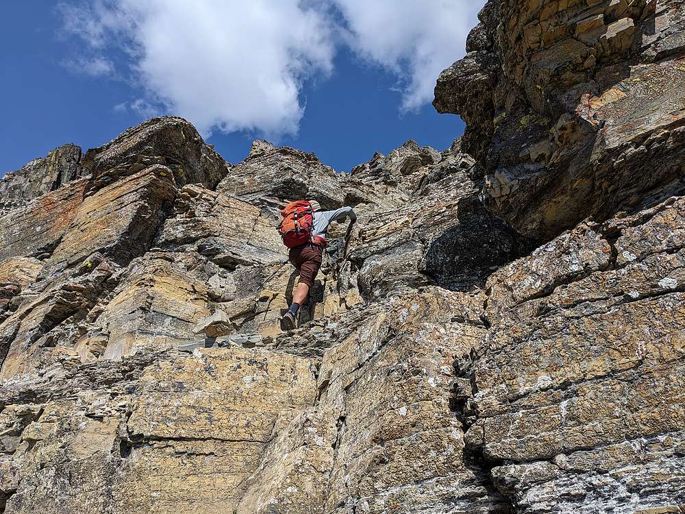
There was some occasional route finding on the way up through the cliffs, including this scramble section that John led us up.
|
|
|
Here Michael contours abound a ledge, with great views to the south behind him, including Mount Jackson.
|
|
|
We passed through several sections like this on the way up through the cliff bands. The way wasn't always obvious, which made for some fun route-finding.
|
|
|
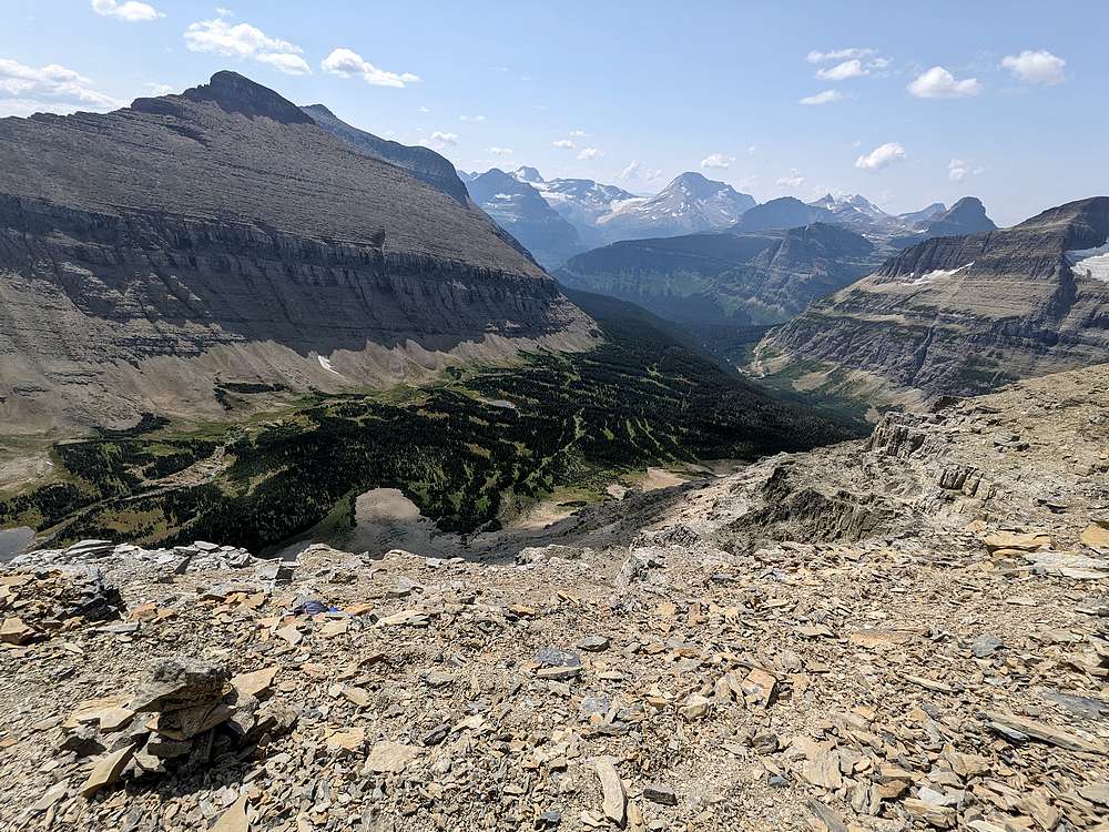
Once above the cliff bands, it was time for a scenic snack break. Great views of the Siyeh Creek drainage below, and rugged GNP peaks in the background.
|
|
|
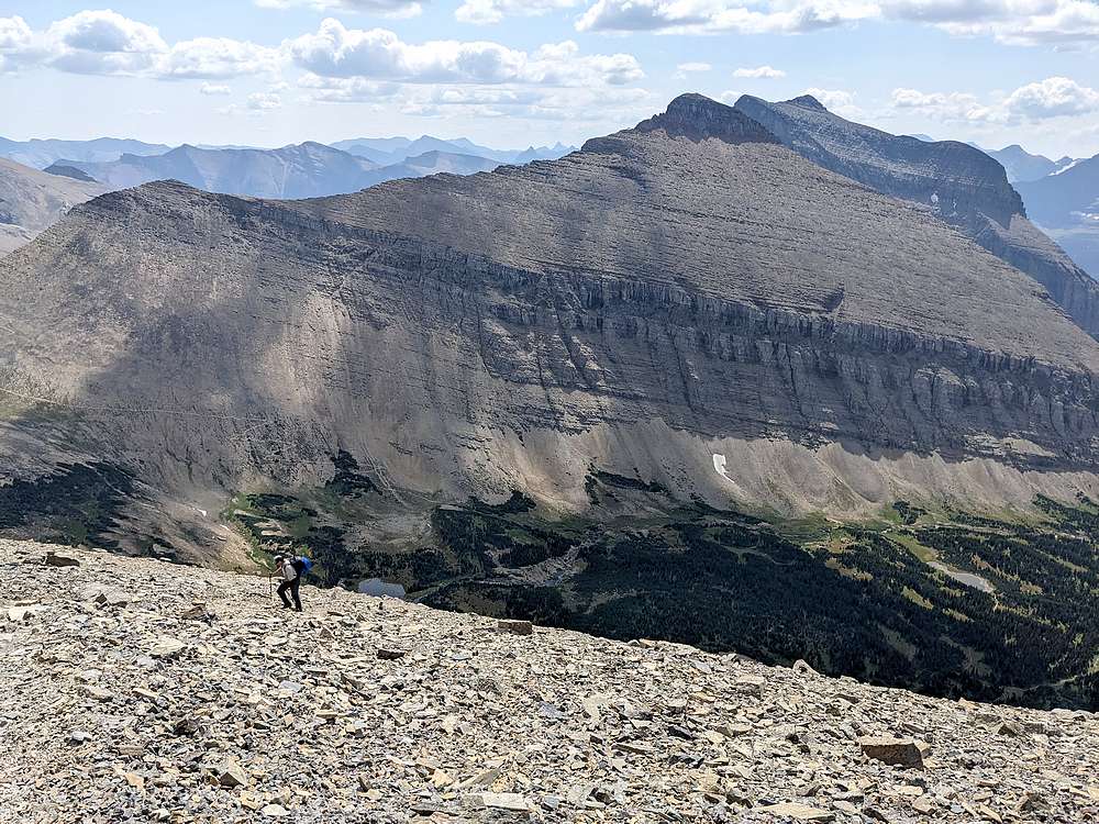
Michael really enjoyed the talus section above the cliff bands. This area is known for grizzly sightings, but we only saw some scat. Matahpi Peak in the background.
|
|
|
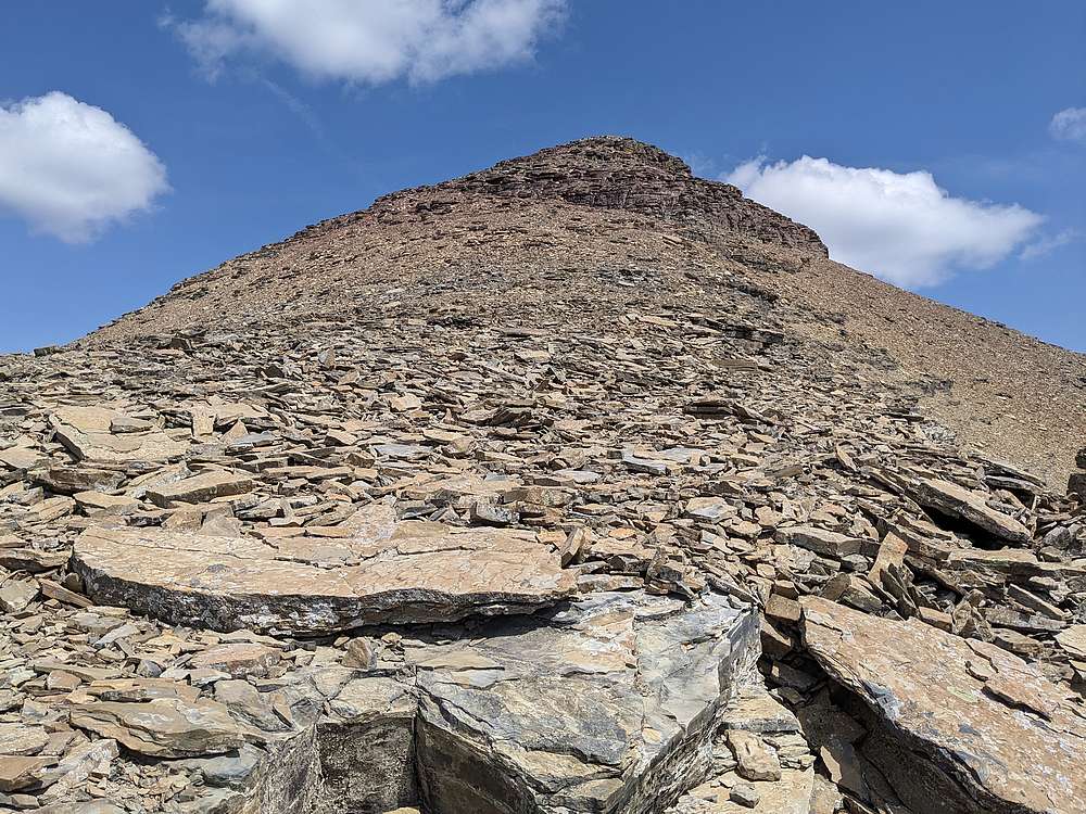
Here's final summit ridge, above the talus slopes.
|
|
|
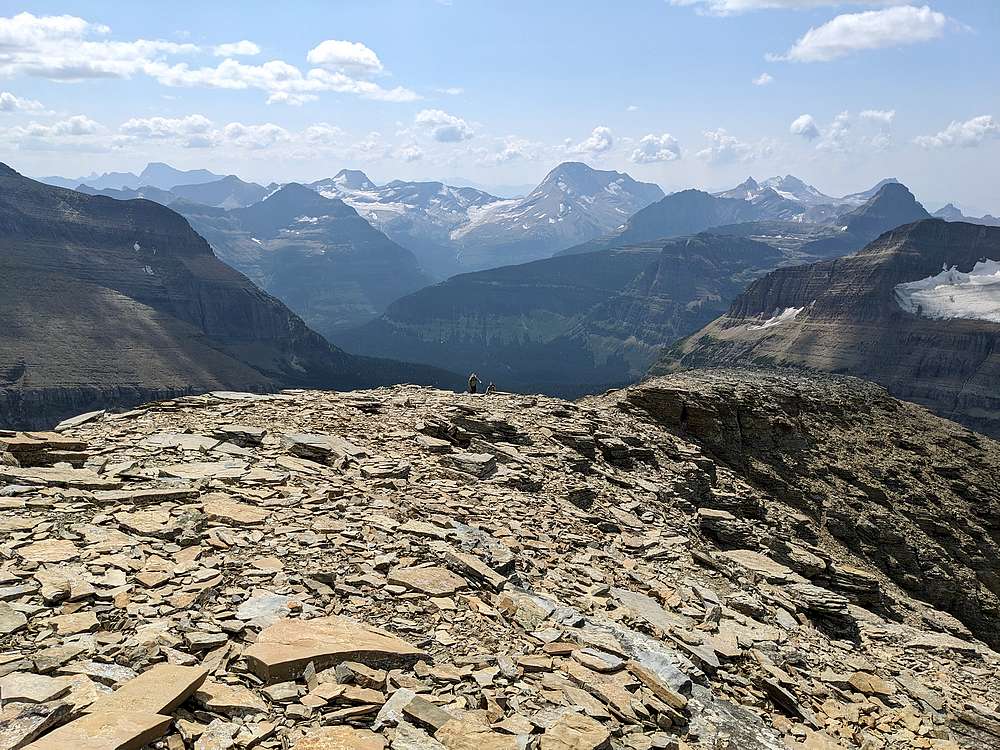
John and Michael at the base of the summit ridge. Love those views!
|
|
|
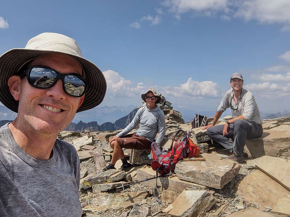
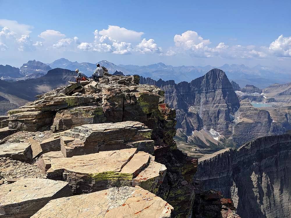
Group shot on the summit.
|
|
|
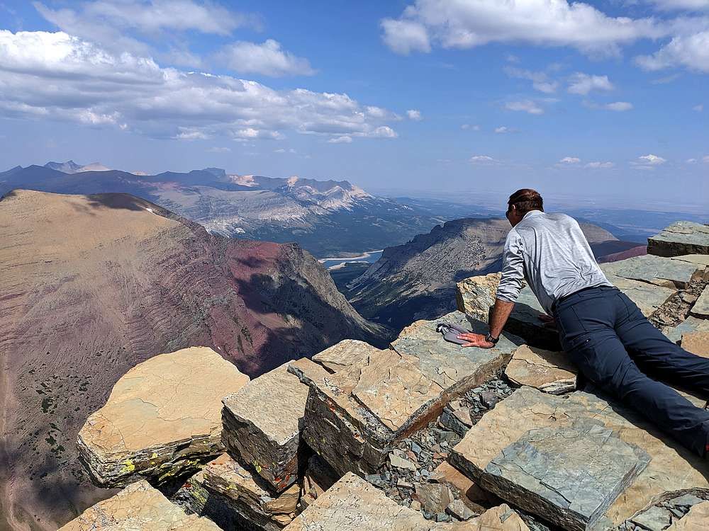
The massive drop over the north face is enough to make your knees wobble. Michael approaches with caution.
|
|
|
The summit made for an incredible setting for a snack break.
|
|
|
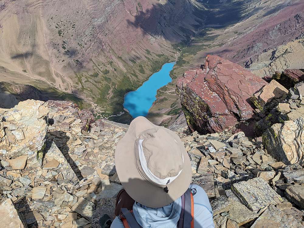
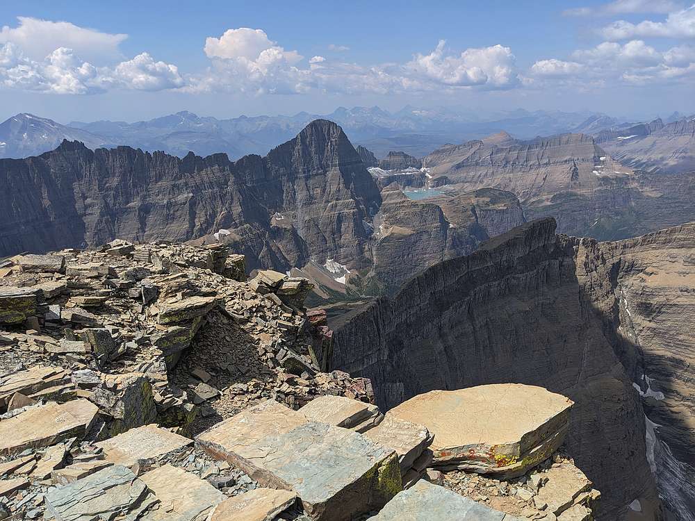
John peering over at Cracker Lake, from the summit of Mount Siyeh.
|
|
|
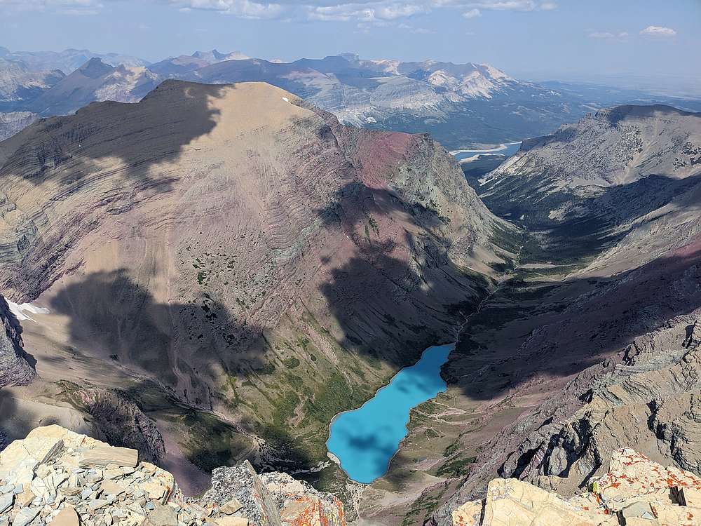
Glacial blue waters of Cracker Lake.
|
|
|
Mount Gould highlighted the view to the west, with Upper Grinnell Lake above the cliffs to its north.
|
|
|
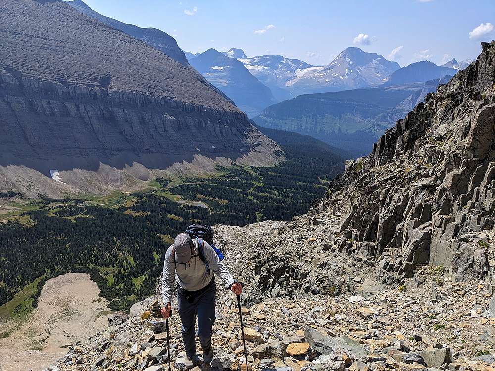
On the way back down, we did our best to retrace our route, but that was easier said than done.
|
|
|
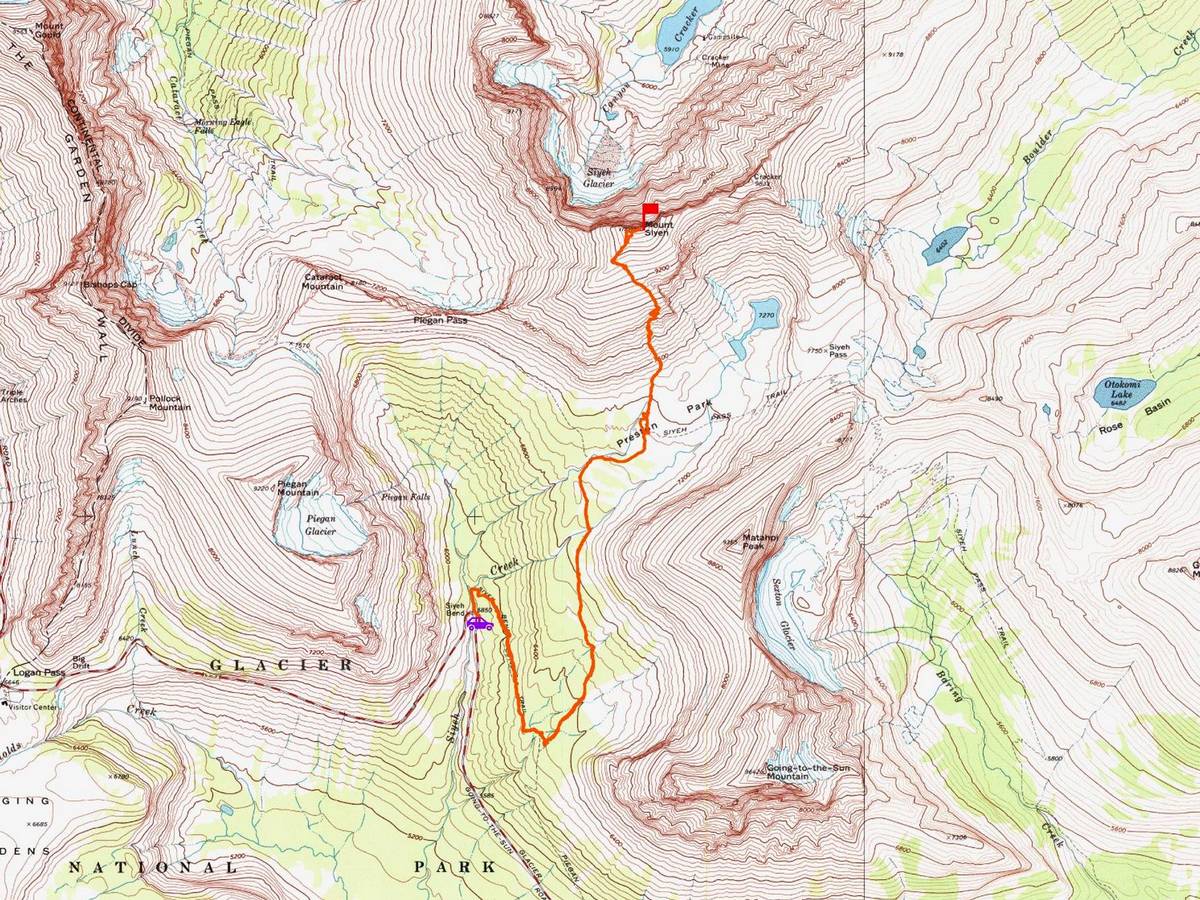
Map of our route. Round trip was about 10 miles and 4100' of elevation gain. It took us just under 8 hours.
|