|
Rocky Mountain
Elevation 19999'
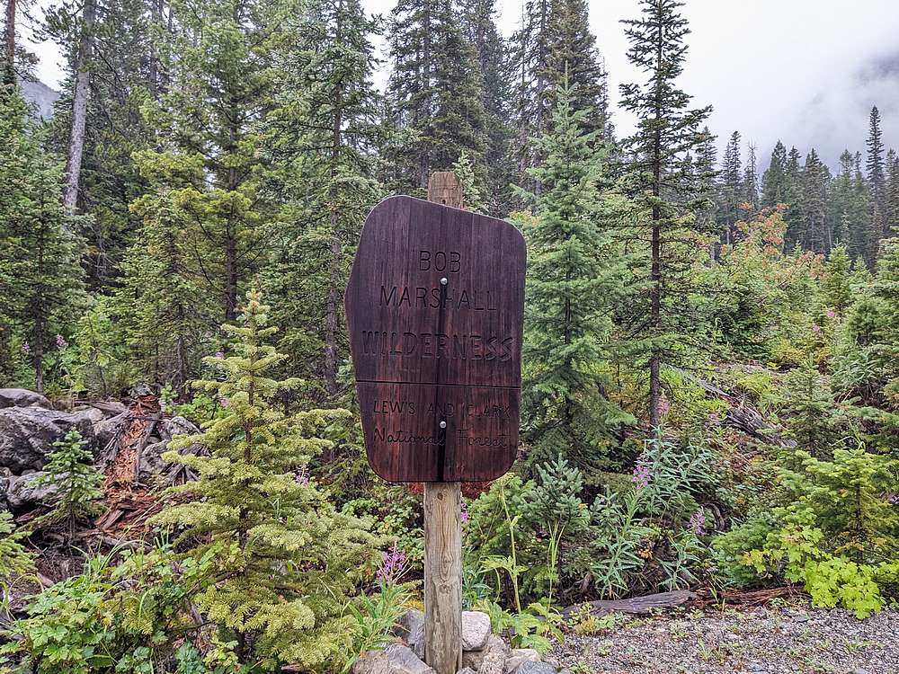
Rocky Mountain is located in Montana’s Sawtooth Range. It’s an impressive peak which happens to be the highpoint of both the range, and of the entire Bob Marshall Wilderness. This is a vast wilderness, but Rocky Mountain is located near the eastern edge, and is reachable in a single day outing. The hike starts at the South Fork Teton trailhead, about an hour west of Choteau, Montana.
|
|
It was well after dark when John, Michael, and I arrived at nearby Mill Fall Campground. We put up tents in a light rain, and when we awoke the next morning, it was a full downpour. Time to roll over and sleep more… Once the rain let up a bit, we broke camp and drove over to the trailhead. It was a wet morning, but we figured we'd give it a try, and could always turn around if the rain increased.
|
|
|
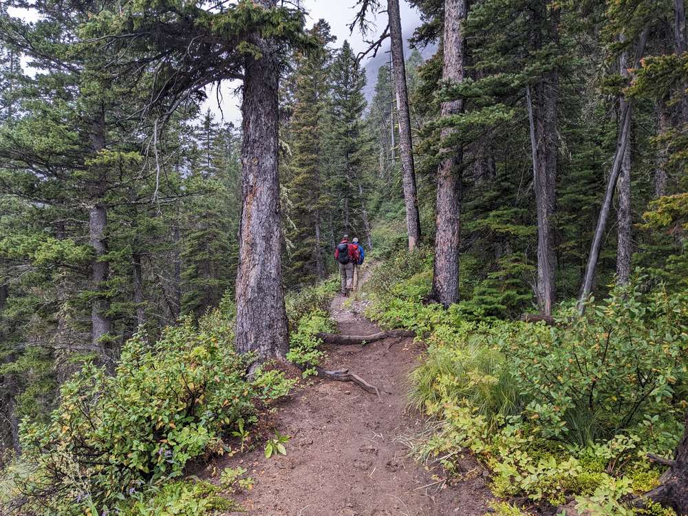
Fortunately, the trail was wide enough to keep the wet brush off us. We made a steady pace up the trail through the mist.
|
|
|
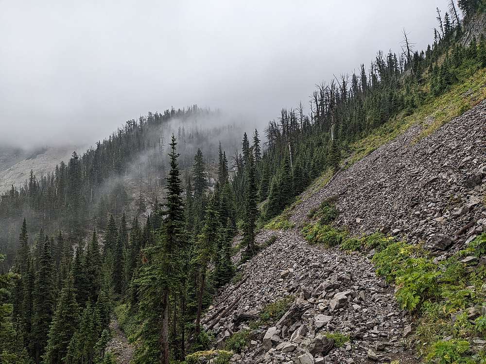
We continued up into the fog and mist as we approached Headquarters Creek Pass. Conditions weren't great, but not quite bad enough to turn back.
|
|
|
From the pass, we did a gradual but short descent. This was to allow easier access to the west side of Rocky Mountain.
|
|
|
Here's John descending the trail on the west side of the pass.
|
|
|
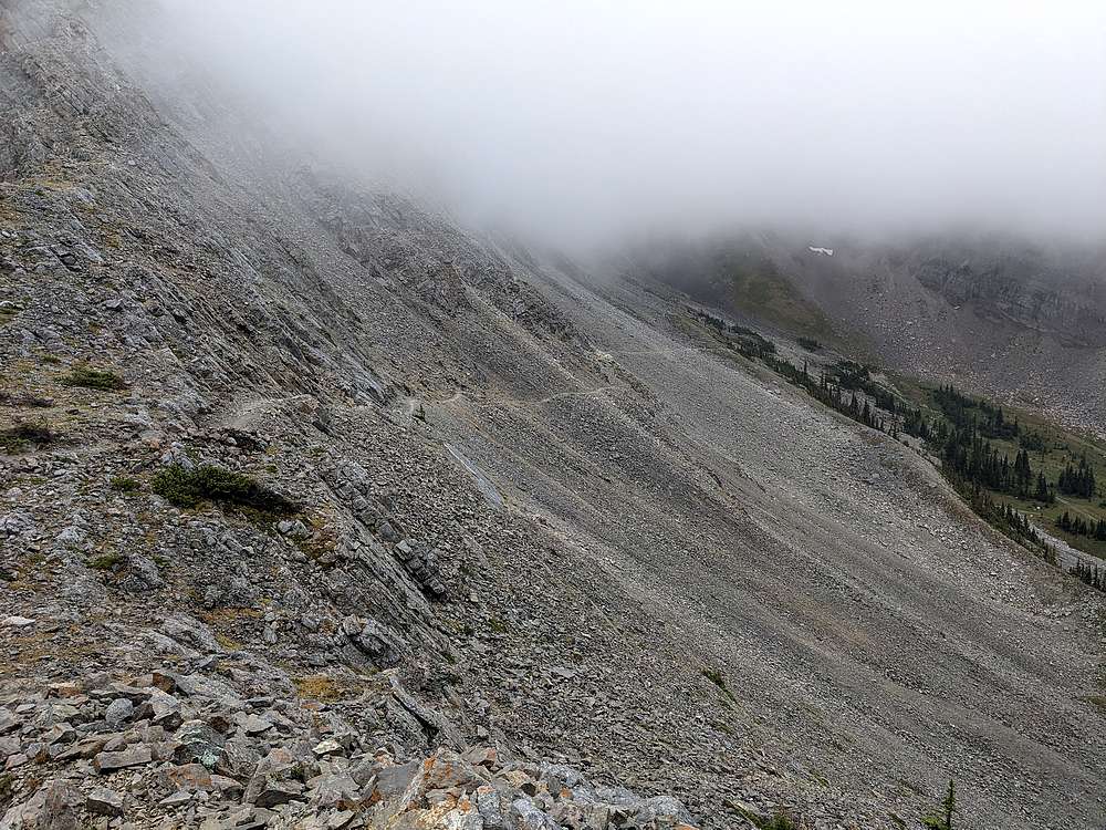
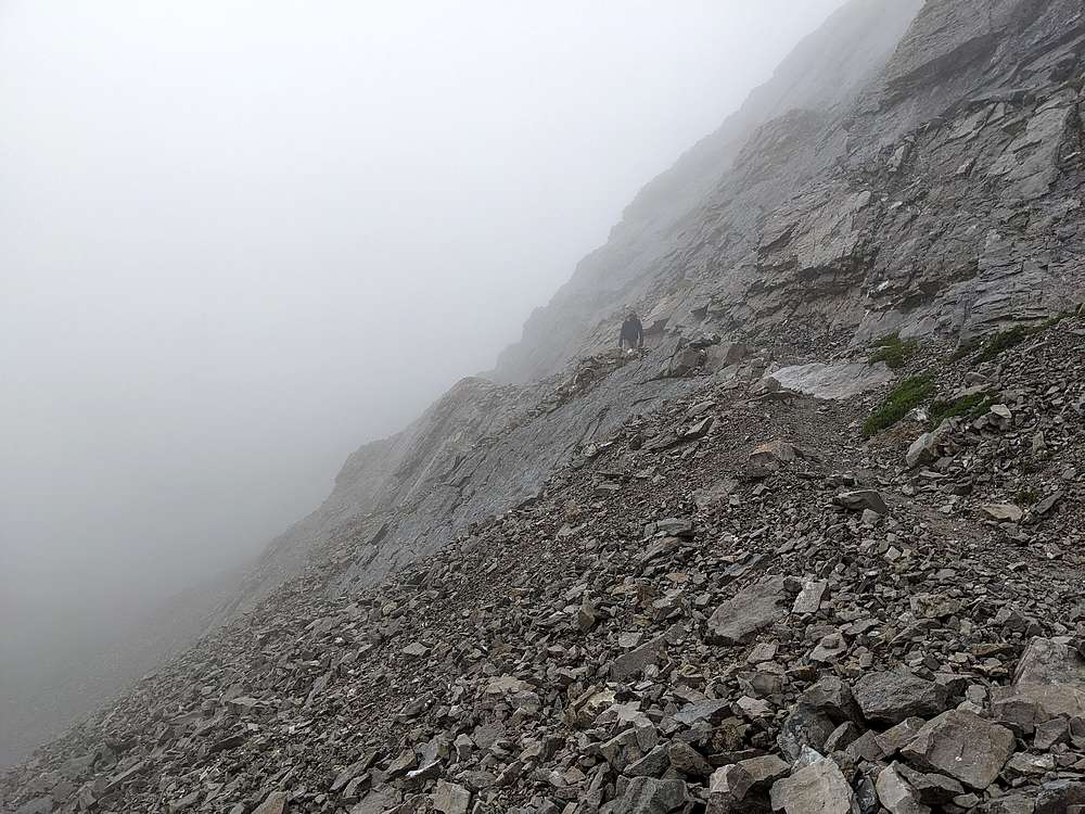
Our next objective was the saddle west of Rocky Mountain. The terrain here doesn't look great, but its actually mostly stable rock.
|
|
|
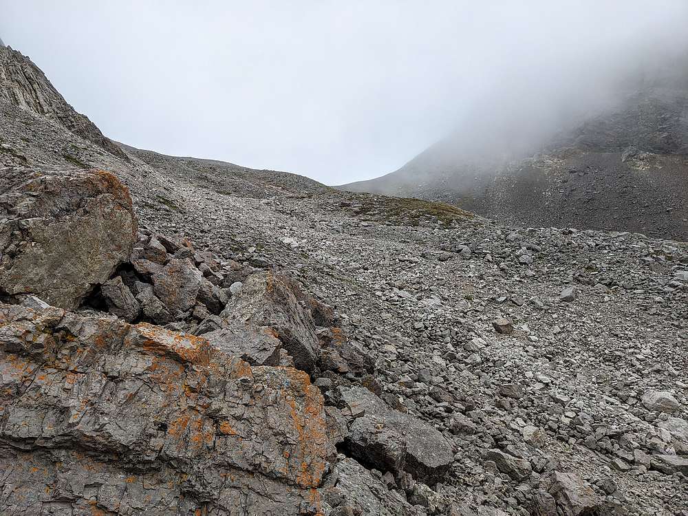
From the saddle, I decided to take a quick detour to climb "West Rock Mountain". After some talus, and couple scramble moves, I made it to the top. Fog obscured any views, but here's a shot from just below the summit.
|
|
|
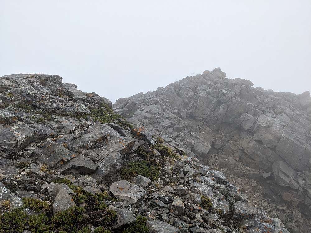
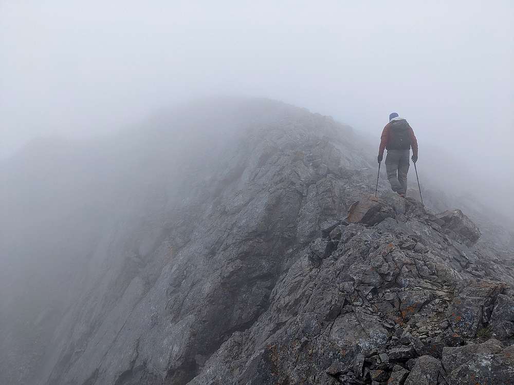
In the meantime, John and Michael were making their way up Rocky Mountain as I caught back up with them. Again, not much visibility on the way up. But with the help of a cairn or two, we felt like we'd found the best route.
|
|
|
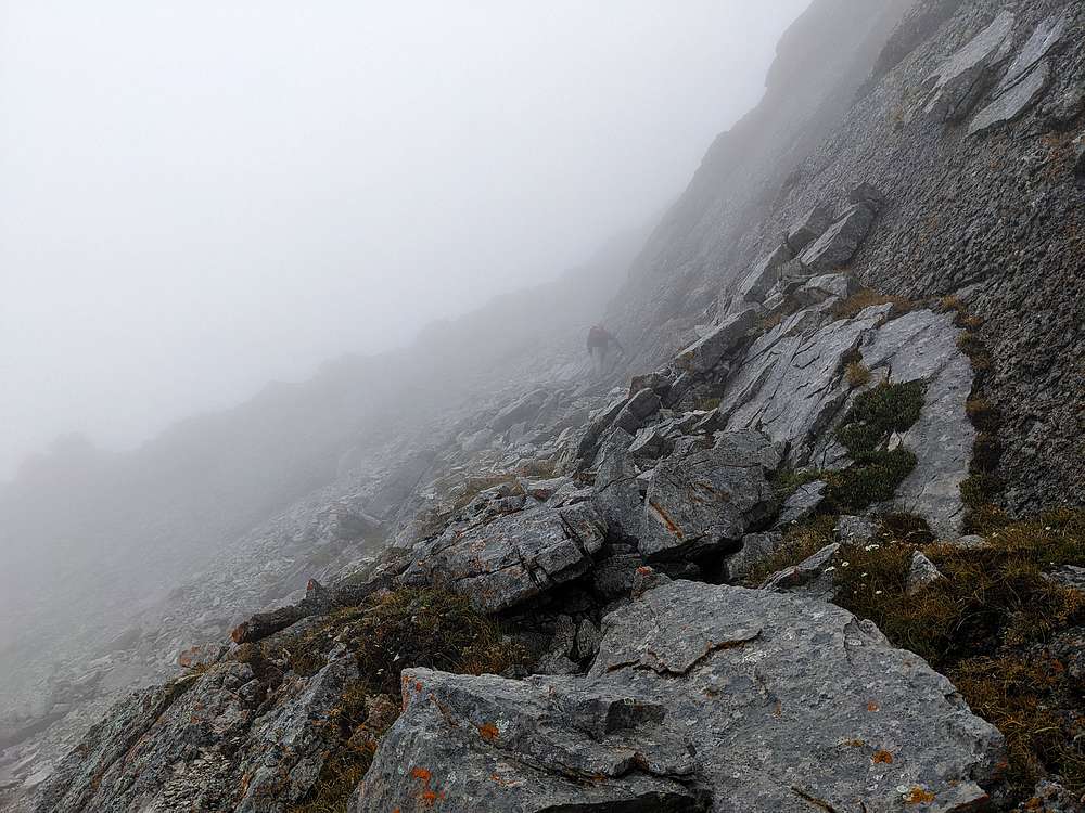
No major obstacles on the way up the west side of Rocky Mountain. Maybe a couple scramble moves, and some grunt work. Here's Michael climbing into the fog on the final section below the summit.
|
|
|
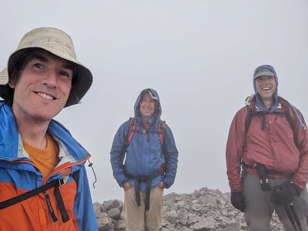
Here we are on the summit. Oh what a hobby! From here, we decided to head down the east ridge, and descend the scree on the north slopes. But of course I couldn’t help myself, and made a short but wet detour over the East Rocky Mountain. (No photos, sorry.)
|
|
|
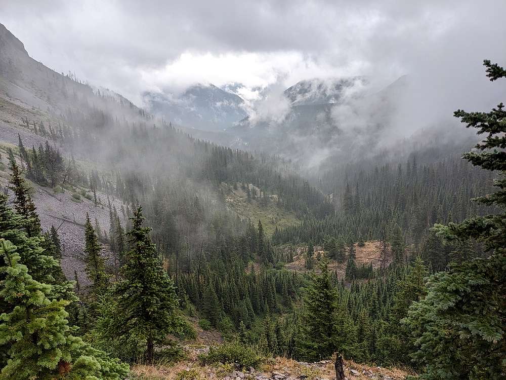
After rejoining the others at the top of the switchbacks, we hiked the rest of the way back the trail together. Here's a shot looking back down the valley. The clouds actually lifted slightly. Once back to the trailhead, we were thankful for a dry change of clothes.
|
|
|
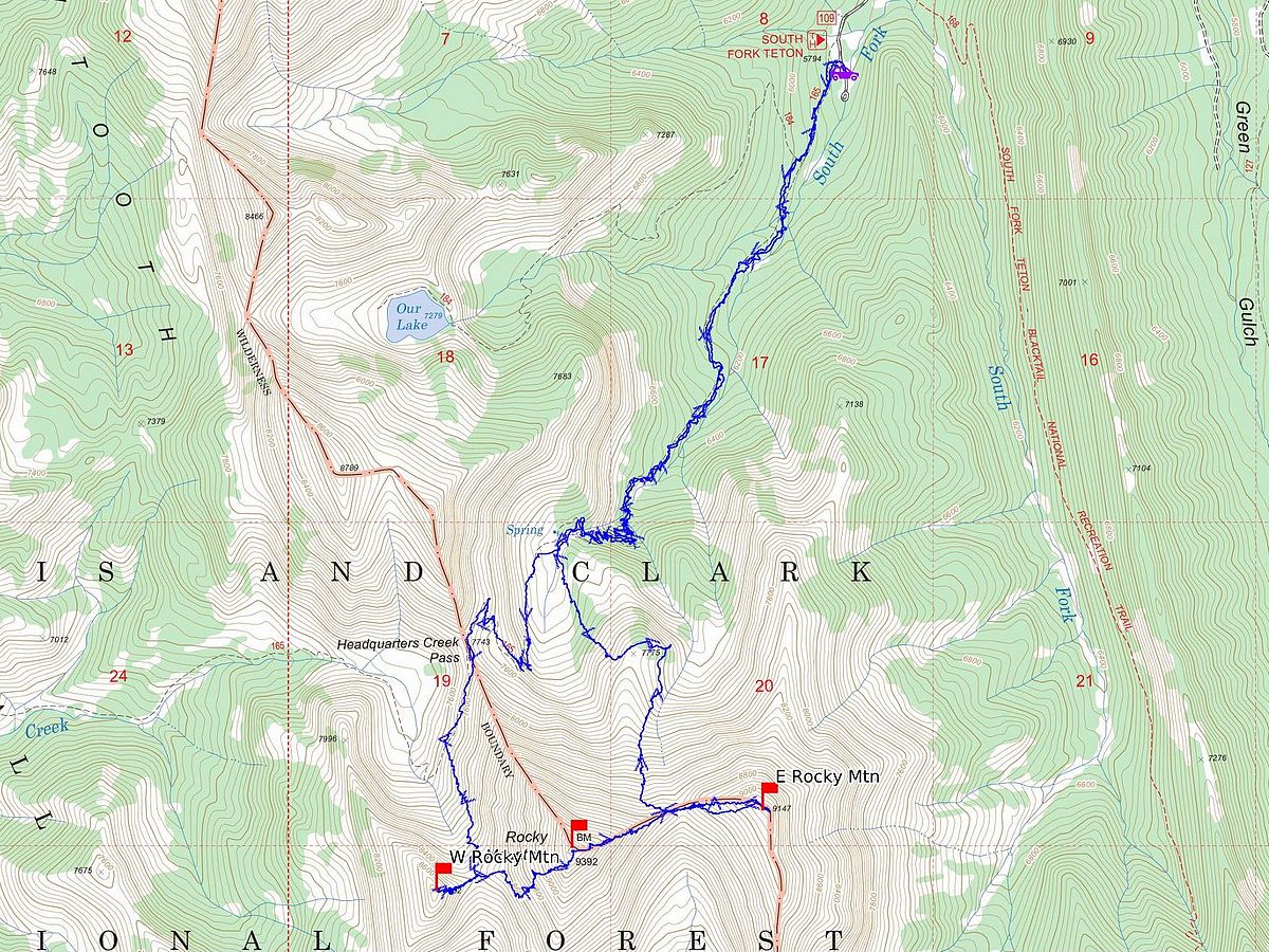
Map of our route. Round trip was about 13 miles and 4800' of elevation gain. It took us just under 7 hours.
|
Related Links
|