|
South Twin is an 11,000’ tall peak located in the Lost River Range of eastern Idaho. It can combined with its nearby and more popular neighbor, North Twin. The approach can be done from Elbow Canyon to the north, the Cabin Fork to the east, or Clark Canyon from the west. Any of these routes offer a good adventure.
|
|
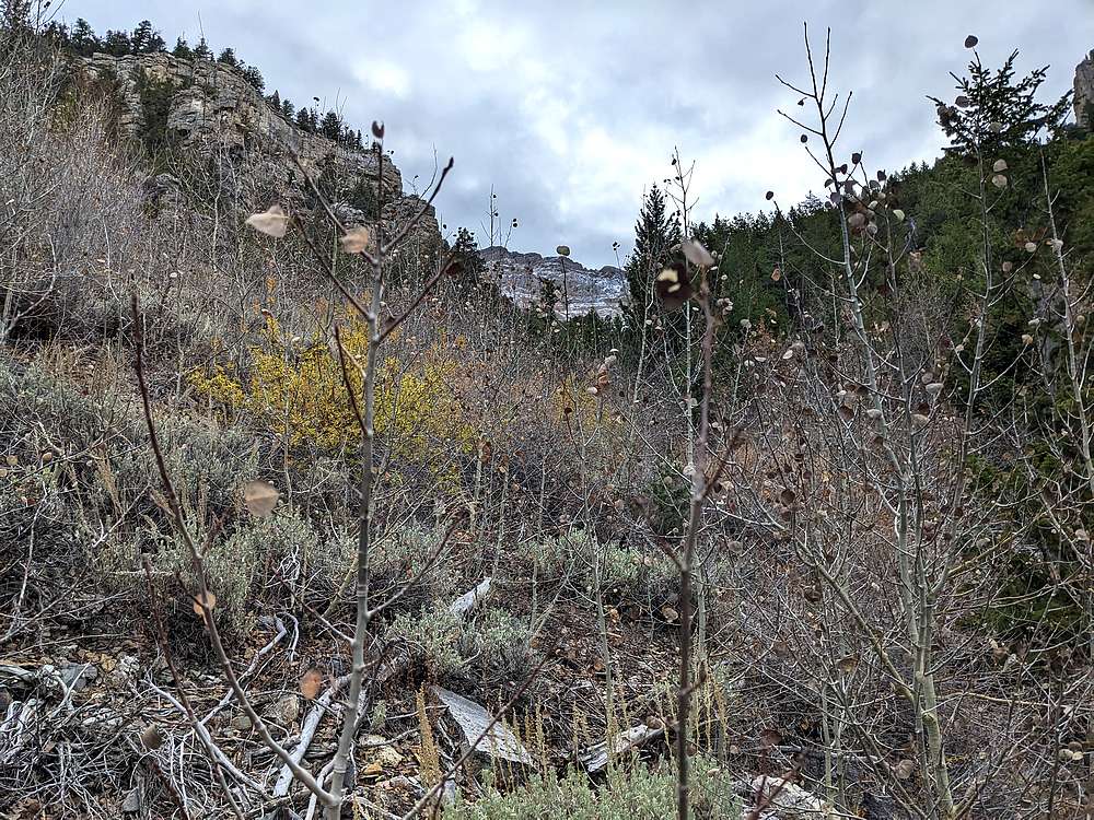
After some confusing roads along the way, I made it to the mouth of Clark Canyon well after dark Friday night. Jason Floyd arrived a little later, and we turned in for the night. Jason Lee arrived right on time Saturday morning, and we started hiking just after 7am once it was light enough. The first mile was minor bushwhacking up the creek bed, but the second mile was a major pain. This shot is from the middle of a dense stand of young aspen.
|
|
|
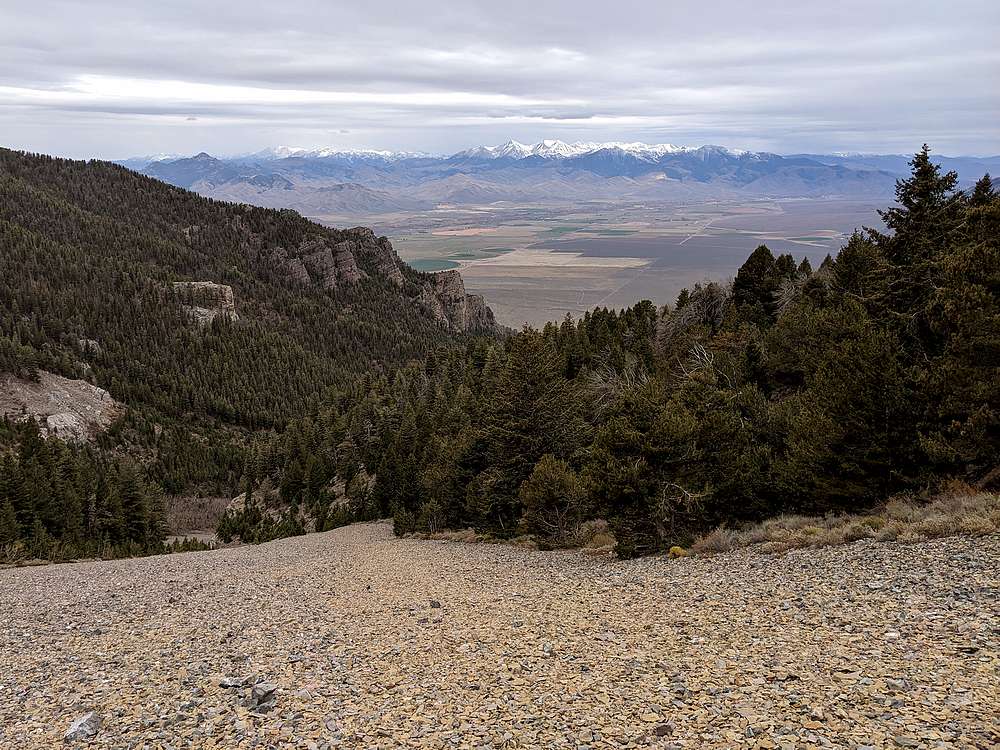
After the bushwhacking, the talus field was a welcome relief, and offered great views looking across the valley at the White Knobs.
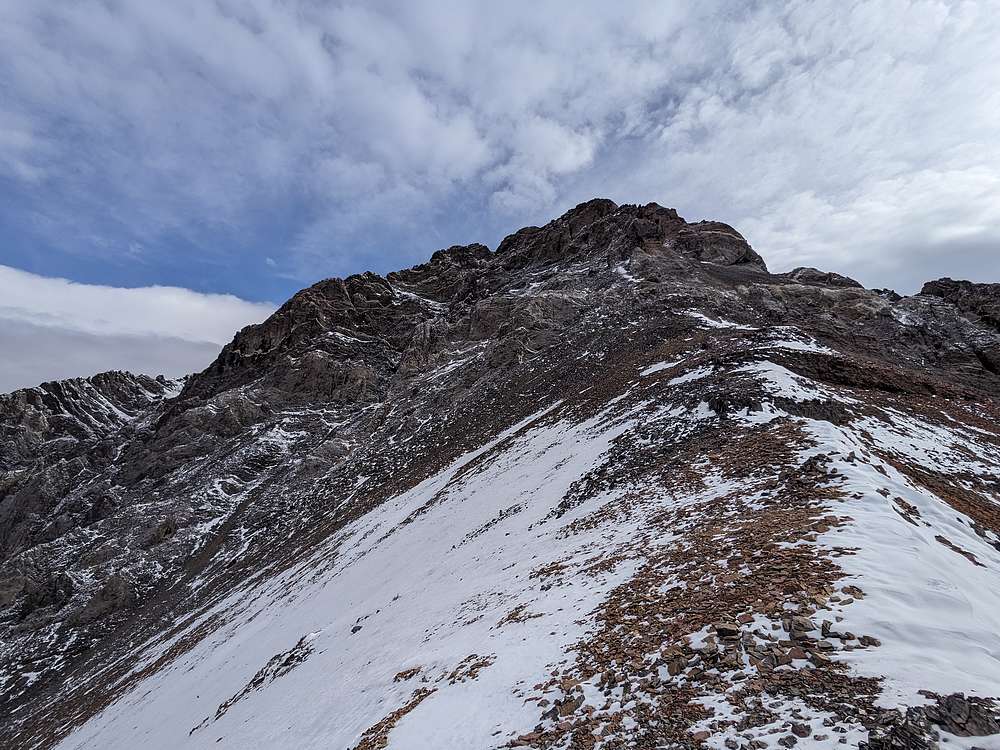
We followed the talus up to ~9000' before veering left toward South Twin's southwest ridge.
|
|
|
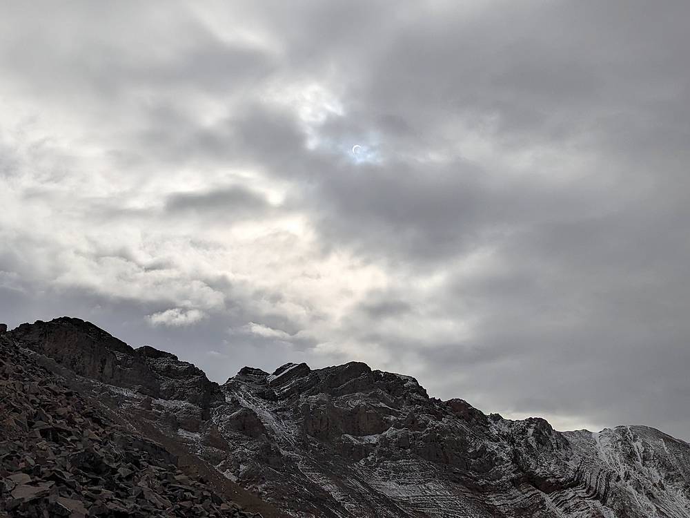
It was eclipse day, but we figured it would be too cloudy to see it. That is until Jason F pointed out the view above us. We didn't have any of the fancy eclipse glasses, but the clouds were making a near perfect filter.
|
|
|
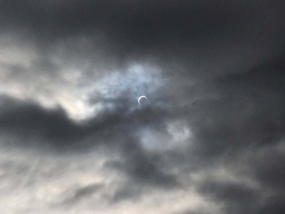
Here's a closer shot of the eclipse.
|
|
|
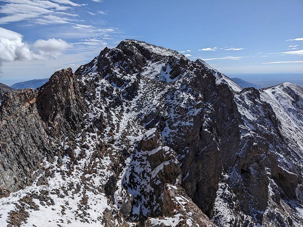
Soon enough, we reached the top of the ridge, and a decision to make. The west face looked interesting, but could be pretty challenging with some snow. Instead, we decided to veer over to the south side of the peak.
|
|
|
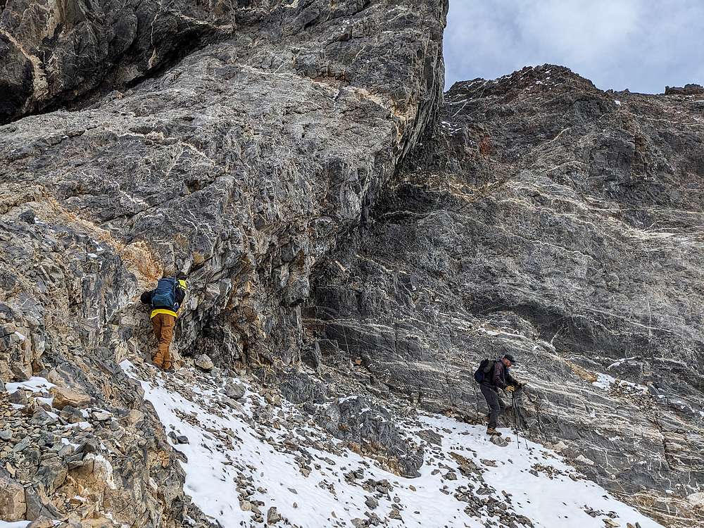
Here are the Jasons passing under some cliffs as we made our way east.
|
|
|
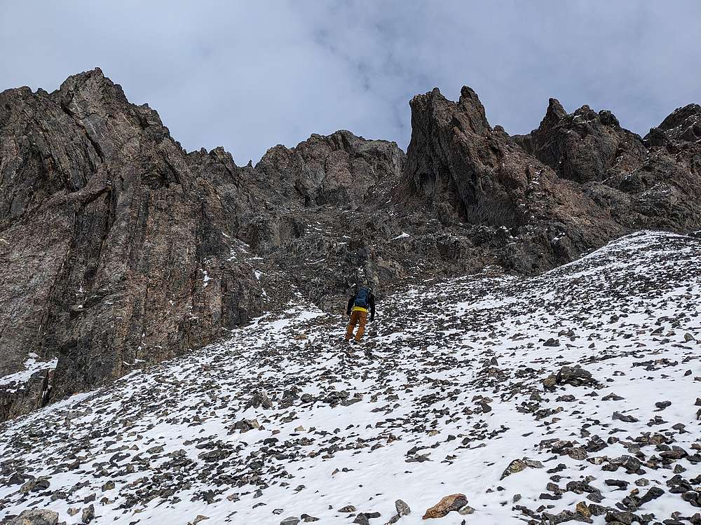
The south route was no gimme either, and took some trial and error along the way to find a passable route up through a maze of gullies and ribs.
|
|
|
After the route-finding down below, the upper ridge was a welcome sight.
|
|
|
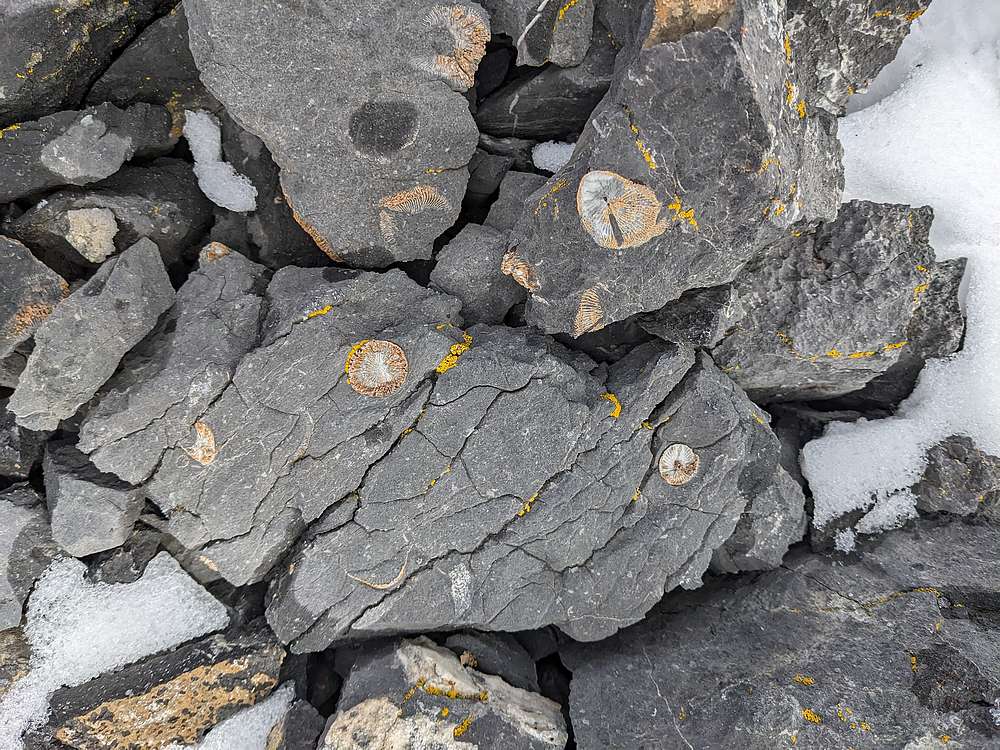
Along the way, we stopped a few times to check out fossils.
|
|
|
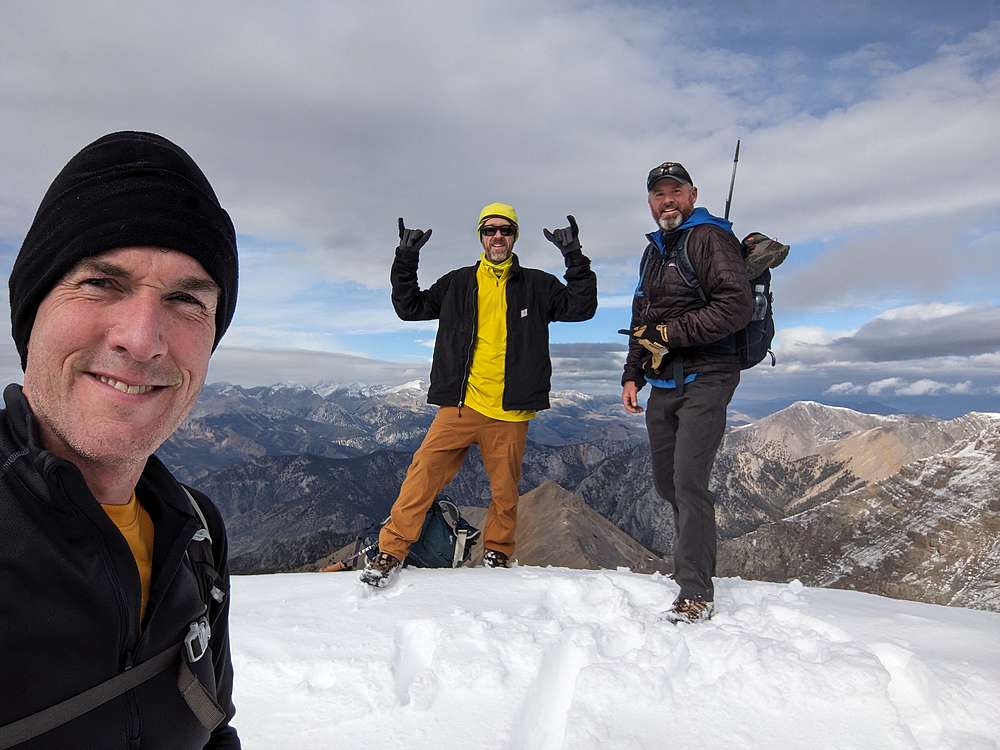
Victory shot on the summit of South Twin!
|
|
|
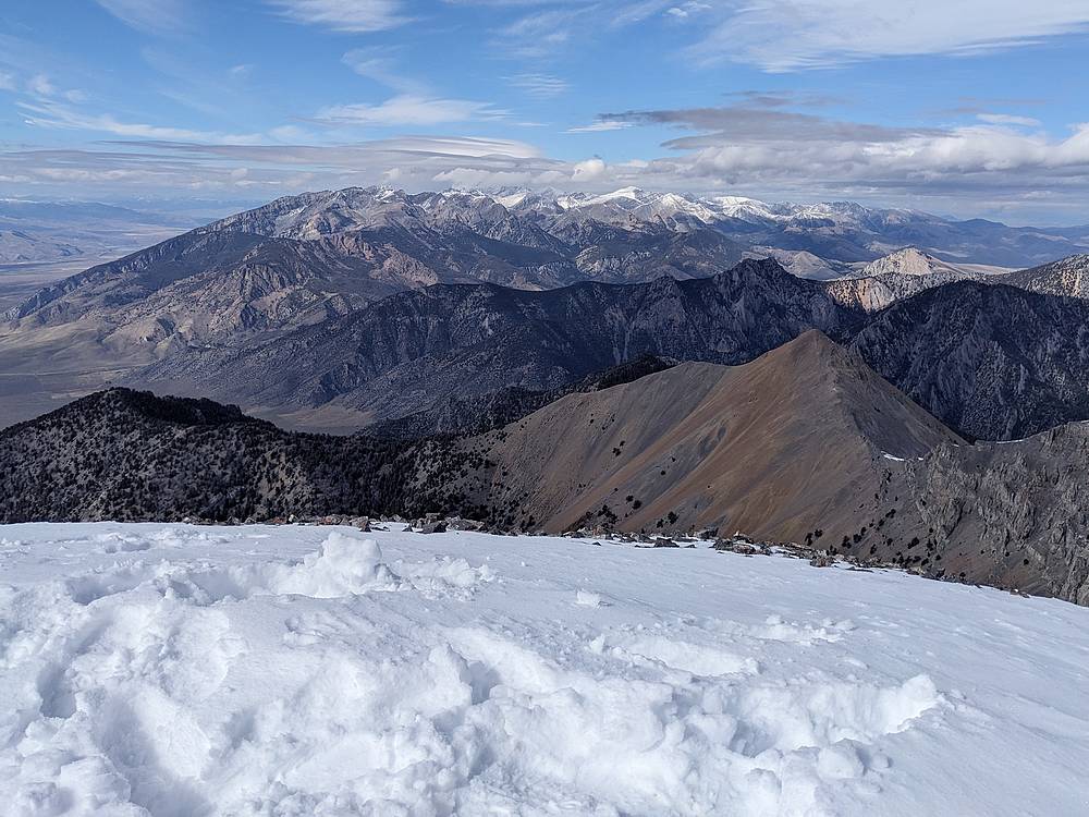
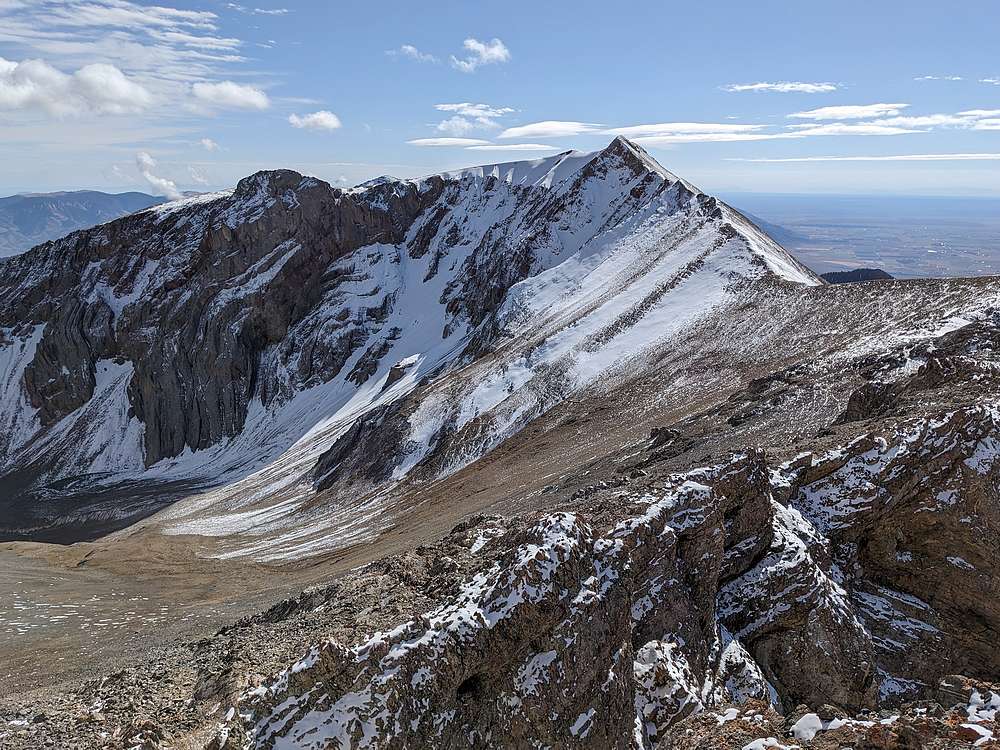
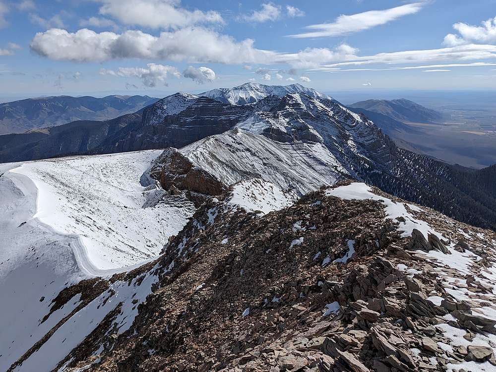
Great view looking northwest toward the main Lost River Range. We grabbed a spot out of the wind for lunch, and I enjoyed a most excellent PB&J. The Jasons were planning to continue to North Twin. I'd already climbed it, so was considering a long traverse to Jaggle Peak. But the ridge looked challenging, and I waffled back and forth about whether to try it.
|
|
|
After much deliberation, I decided to give Jaggle a shot. Worst case, I could just drop back into the valley and meet the Jasons below. From here, you can just see Jaggle, the pointy peak just visible over the shoulder of the ridge.
|
|
|
I initially dropped down the easier southwest gully, until traversing back over to the south ridge at ~10,600'. There were a lot of ups and downs along the ridge, and places where a route seemed unlikely. But I was able to wind may along, thanks in part to sheep tracks in the recent snow.
|
|
|
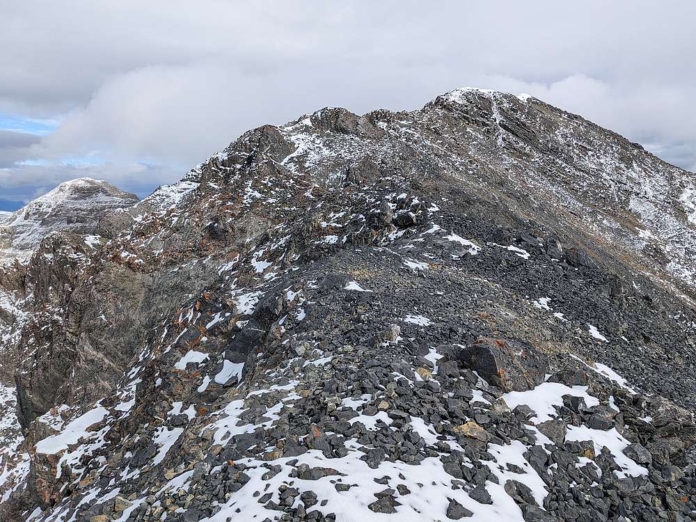
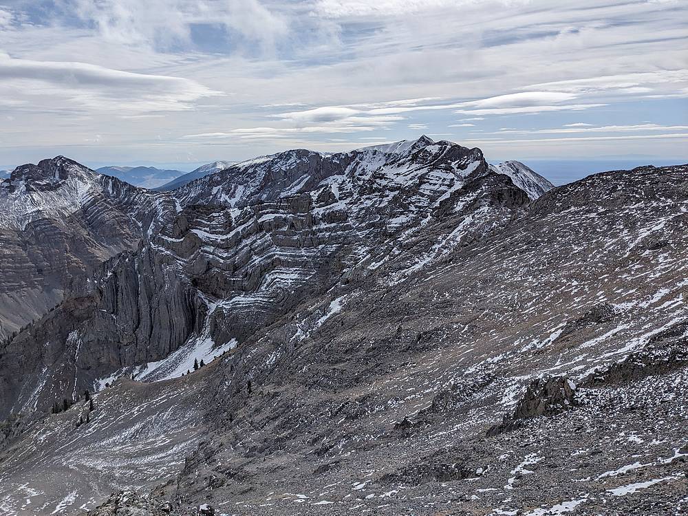
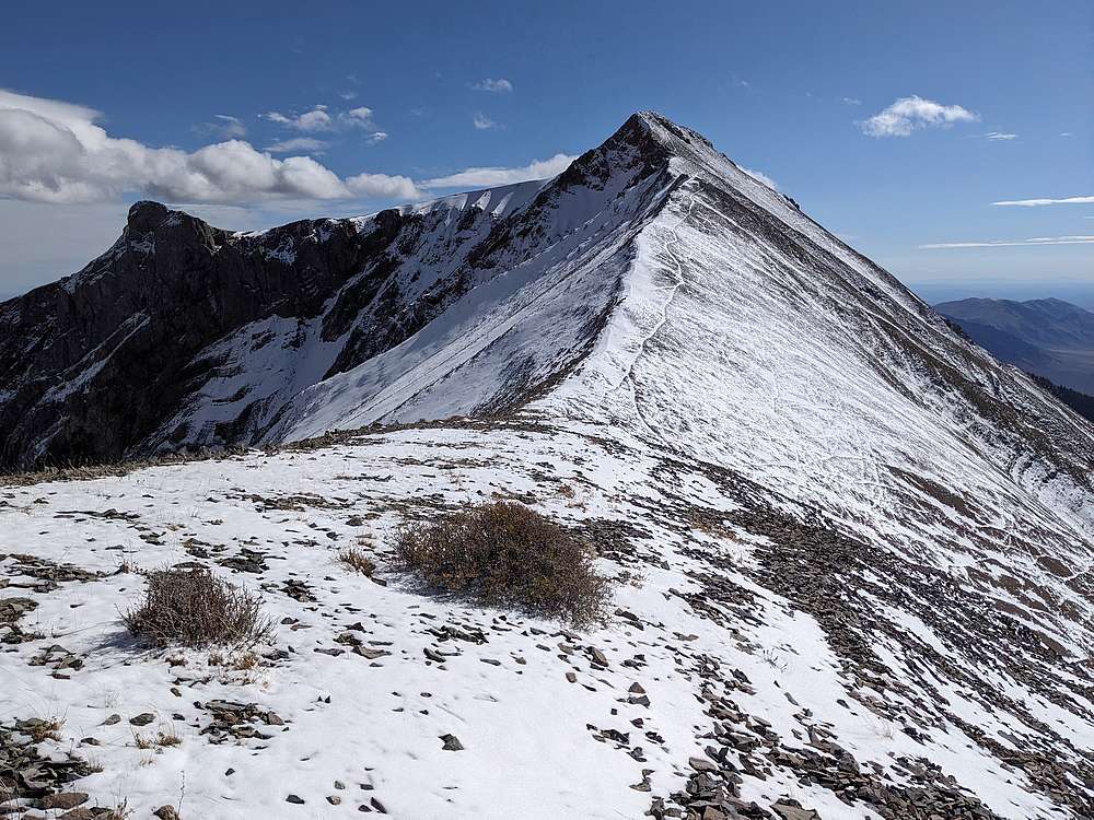
From Pt 10630', Jaggle Peak came into view, and it was a relief to have the hardest section complete.
|
|
|
Jaggle's north ridge looked less steep as I got closer, and was even equipped with an easy to follow sheep trail leading almost to the summit.
|
|
|
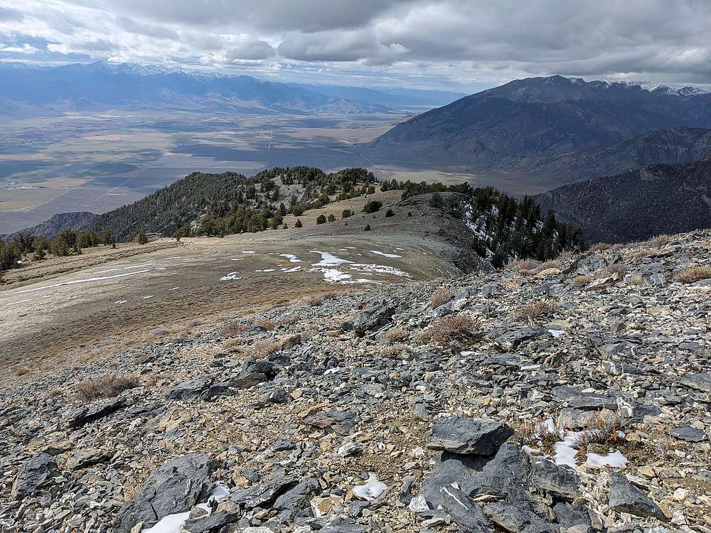
From Jaggle, I had a great view looking back north at South Twin. Notice how much less snow is on the south facing slopes.
|
|
|
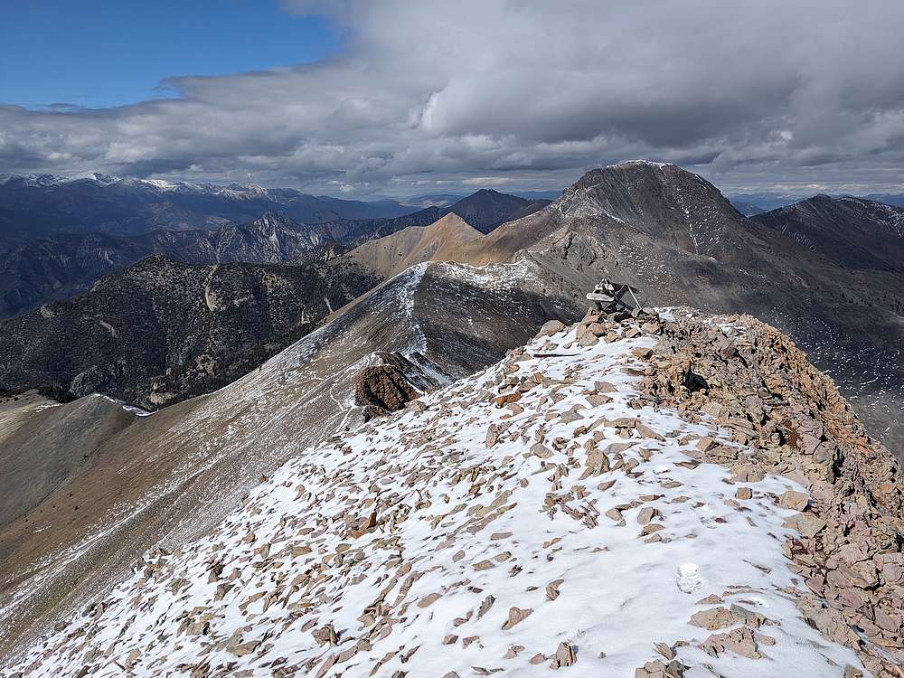
Here's a view looking south from Jaggle, at King Mountain.
|
|
|
I retraced my route back down the ridge. My next goal was to avoid some bushwhacking, so I headed west above the ridge above Clark Canyon instead of dropping in. This went ok for awhile, until I encountered some massive cliffs that forced me to head down.
|
|
|
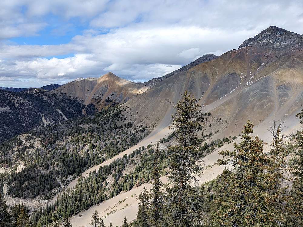
View of Red Cone, North Twin, and South Twin from the ridge. After this point, I made a long and tedious descent back to the valley. I’d been in contact with the Jasons via radio, and we met up to hike toghether the last mile back to the trailhead.
|
|
|
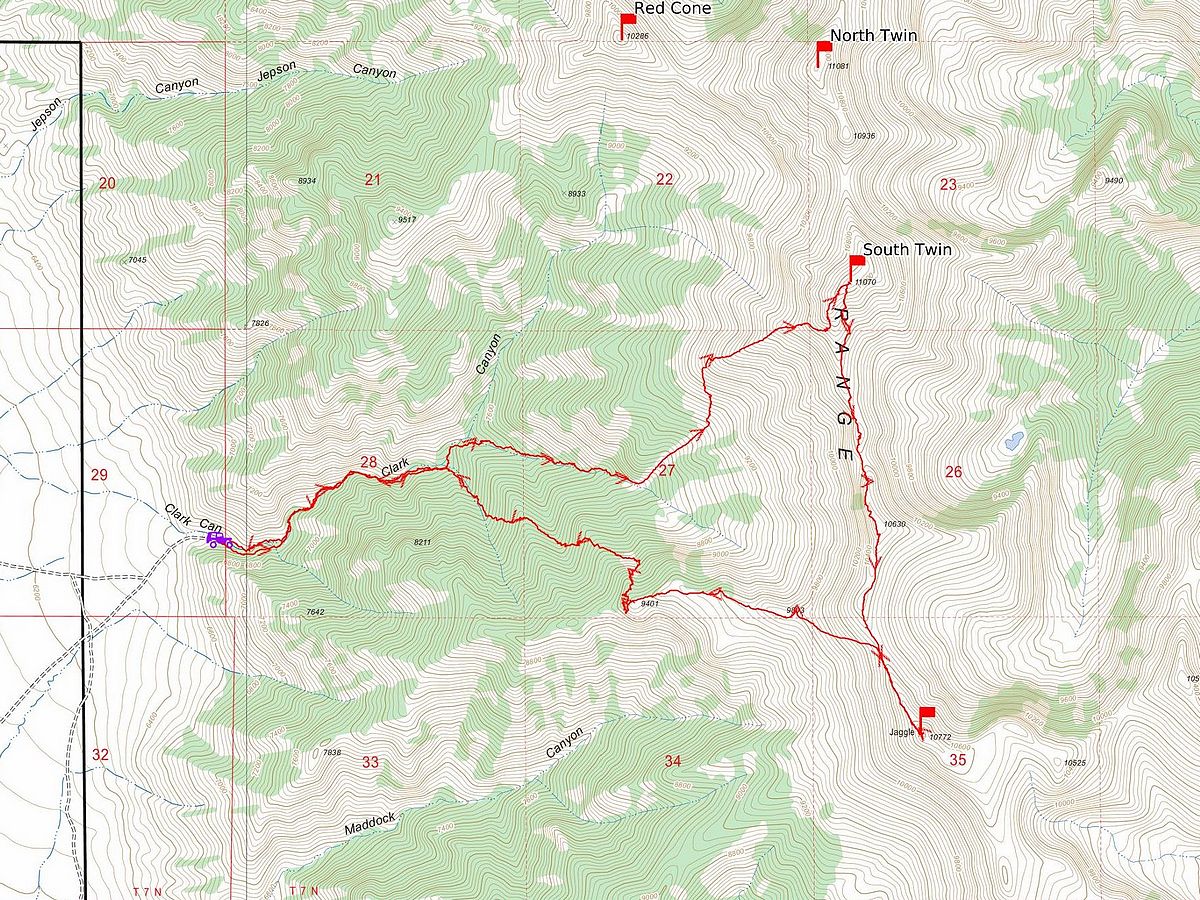
Map of my route. Round trip was about 9 miles and 5300' of elevation gain. It took just over 10 hours.
|
Related Links
|