|
Spud Creek Peak
Elevation 6380'
Unofficially named Spud Creek Peak is found in central Idaho's White Cloud Mountains. Located in the northeast corner of the range, the rock is "challis volcanic", so it doesn't feel anything like the alpine terrain the range is known for. But situated near highway 75 at the confluence of the East Fork Salmon River, the peak does make for a quick leg stretcher hike with good views of the surrounding terrain.
|
|
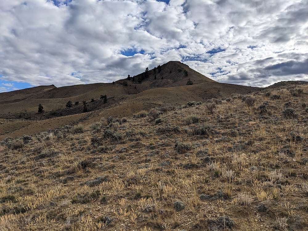
After exploring the Phyllis Lake area earlier in the day, I headed north to the east fork. I ended up parking due north of the peak on BLM land, and then hiked south along an ATV road. Here's a view of the peak from the road.
|
|
|
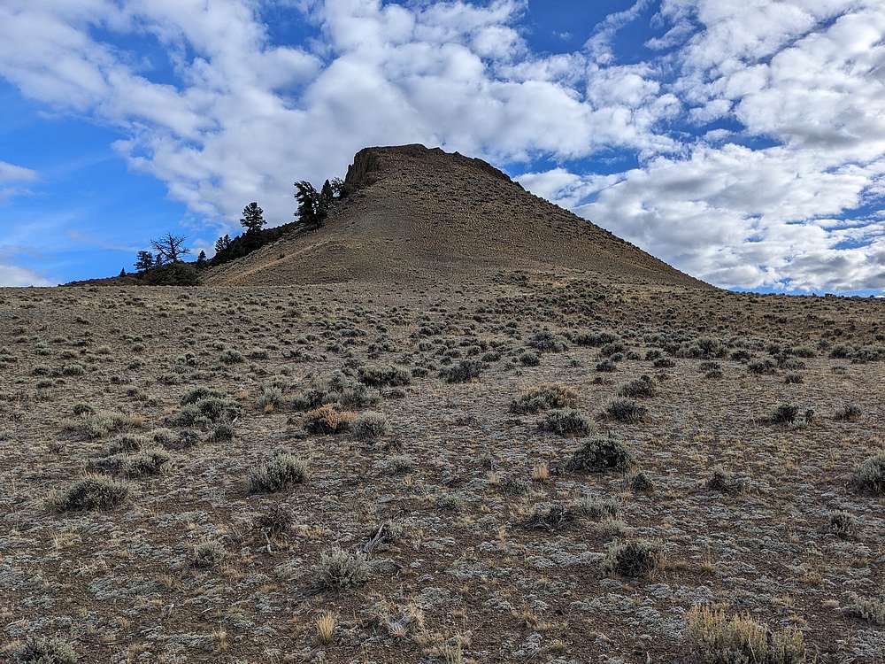
The ATV road petered out after a while, at which point I headed cross-country up the north face.
|
|

|
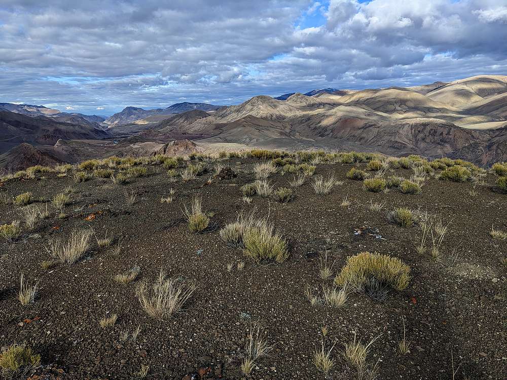
Once on the rounded summit, I was rewarded with a good view of Potaman Peak to the west.
|
|
|
And here's a view to the northeast, looking down the main Salmon River.
|
|
|
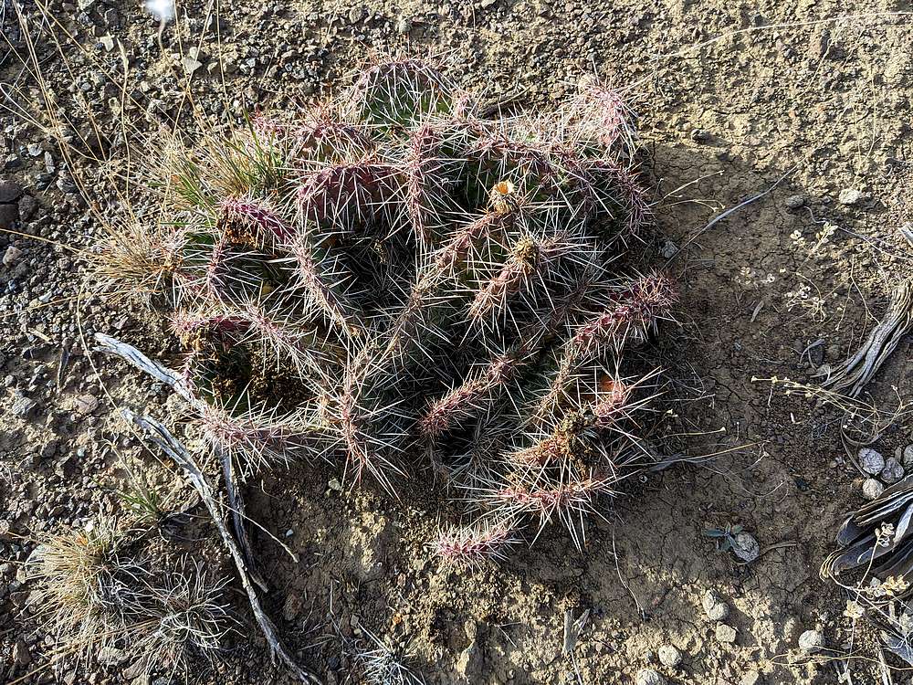
I retraced my path back to the truck, being careful not to step on any cactus along the way.
|
|
|
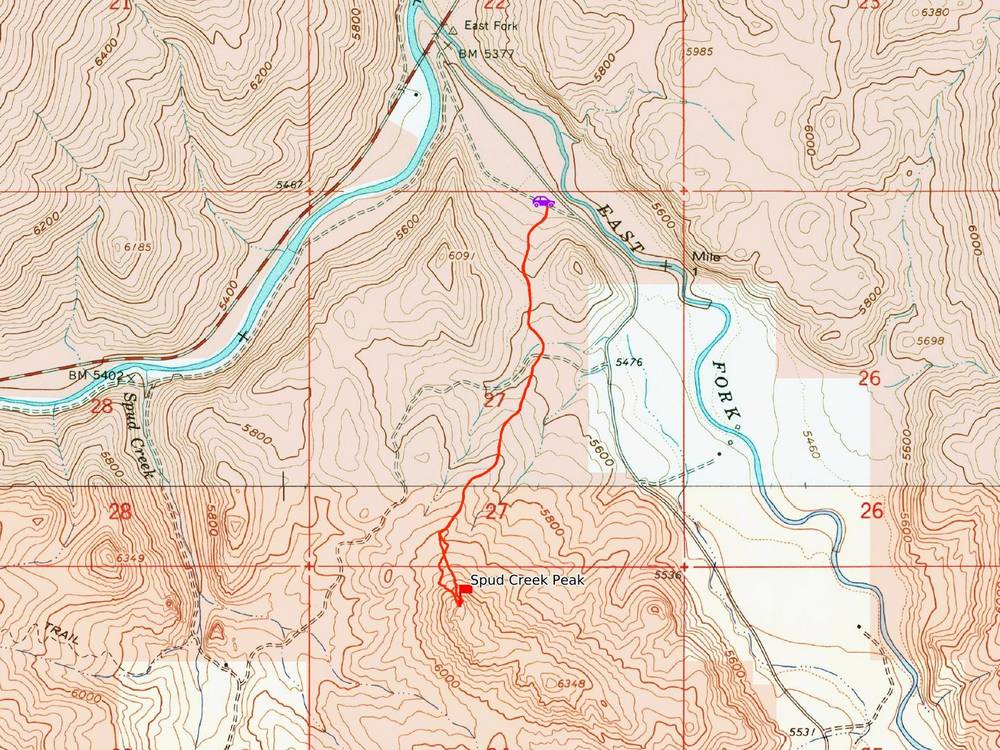
Map of my route. Round trip was just under 3 miles and 1000' of elevation gain in 1 hour of hiking.
|
Related Links
|
 |
IdahoAlpineZone is unofficially sponsored by Skippy Peanut Butter.