|
Ch-paa-qn Peak
Elevation 7996'
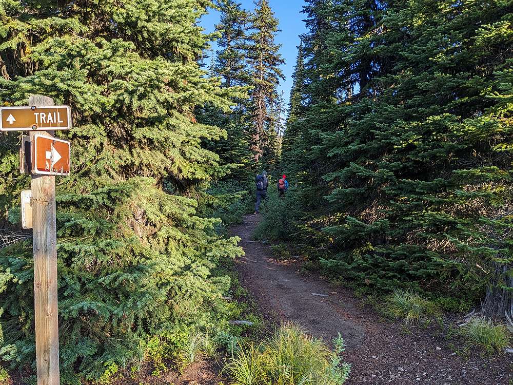
Ch-paa-qn Peak is the highpoint of Reservation Divide, located north of Missoula Montana. This prominent pyramid shaped peak is visible from most any direction It is a popular hike in the area, thanks to a pleasant trail leading most of the way to the summit. Ch-paa-qn Peak was our final objective during an excellent 5-day peak bagging trip in Montana. We made our way to the Reservation Divide Trailhead on Edith Peak Road the night before. After driving around awhile looking for a place to camp, we eventually decided just to pitch our tents at the trailhead. Not ideal, but ended up working out fine.
|
|
After a good night of sleep, it was time to head up the forested trail. The trail is pretty passable for the most part, but a few brushy sections to push through later on.
|
|
|
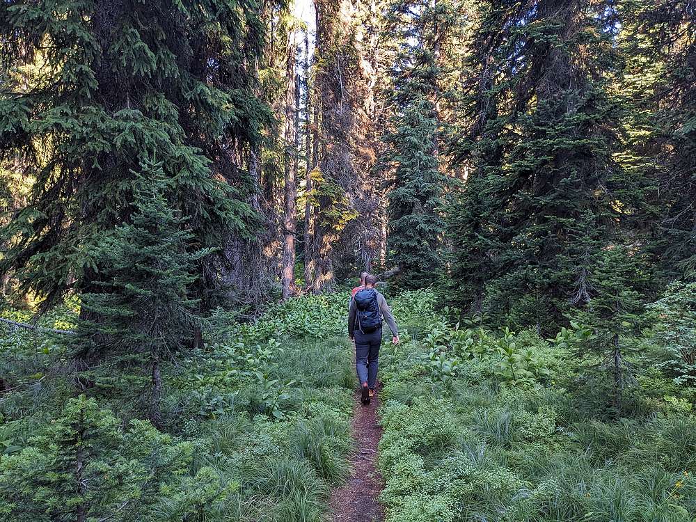
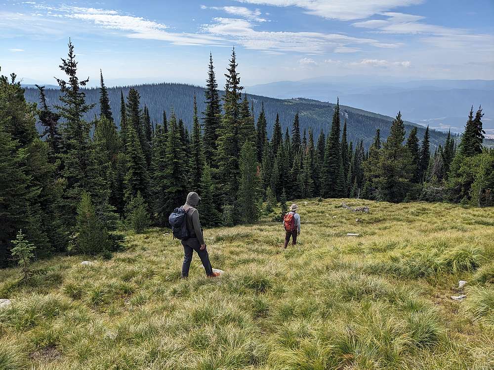
The trail was pleasant as we hike through shady forest. Pretty nice, but not much in the way of views.
|
|
|
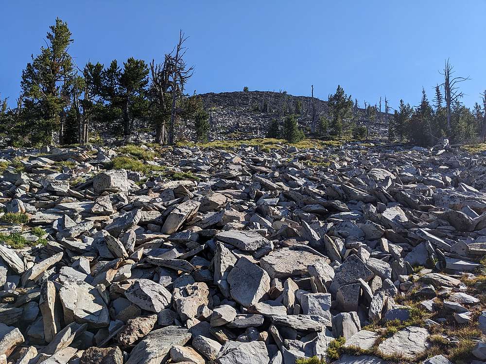
We followed the trail around to the southwest side of the peak, then hung a right at a signed junction. From here, the trial climbed more steeply. After a while the trail ended, and it was time for some boulder hopping.
|
|
|
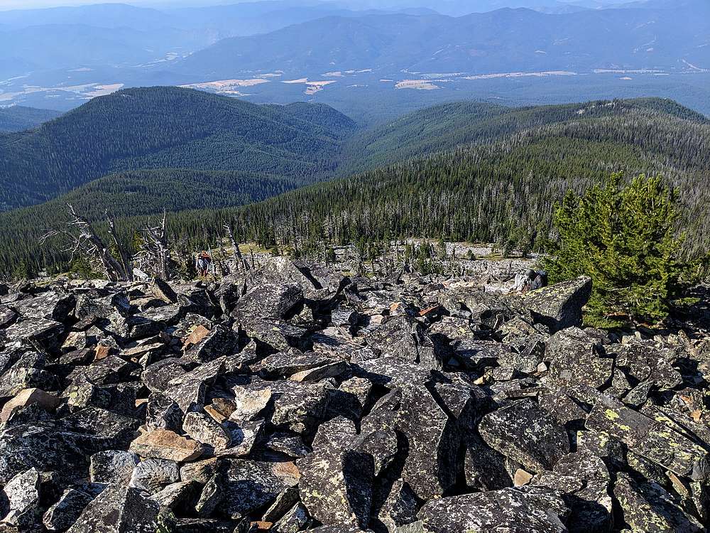
Here's a view looking back down the boulder section. John and Michael are both visible in this shot if you look closely.
|
|
|
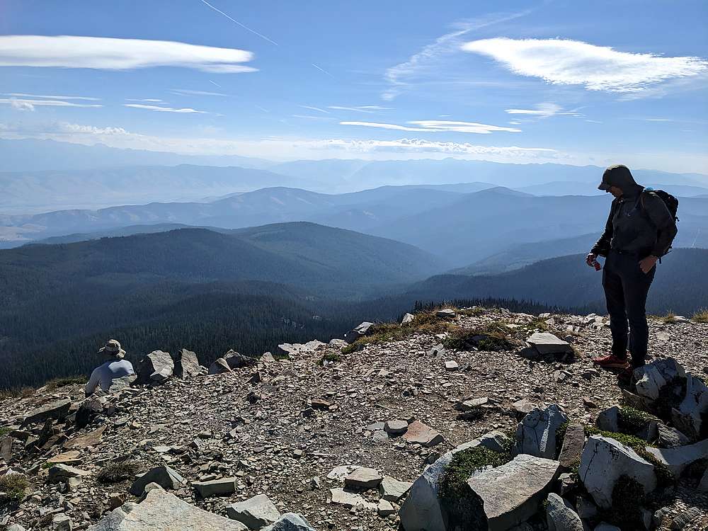
Soon enough, we made it to the summit, where we enjoyed a snack. Michael played "name that peak". I have no doubt he'll take us to visit some of them on future trips.
|
|
|
On the way down, we made a mini-loop and descended the southeast side of the peak. Once back at the trail, it was an easy hike back to the trailhead.
|
|
|
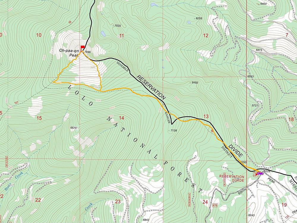
Map of our route. Round trip was just under 7 miles and 2000' of elevation gain. The hike took us about 4.5 hours.
|
Related Links
|
 |
IdahoAlpineZone is unofficially sponsored by Skippy Peanut Butter.