|
Vale Butte
Elevation 3169'
Vale Butte is located in far eastern Oregon. It is just south of the Malheur River, and rises above the town of Vale. This area is high desert terrain, home to sagebrush and grassland, as well as sedimentary rock on and around the butte. I had a case of cabin fever, and was looking for a short afternoon hike fairly close to home.
|
|
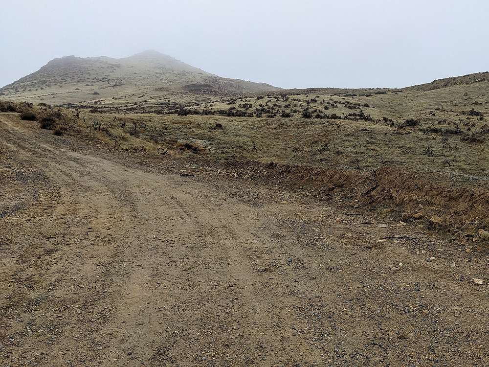
From Vale, I drove south on Lytle Boulevard, and parked just off the pavement to make for a more sporting hike. I walked the road for awhile, then cross-country, then more road on the way to the south side of Vale Butte.
|
|
|
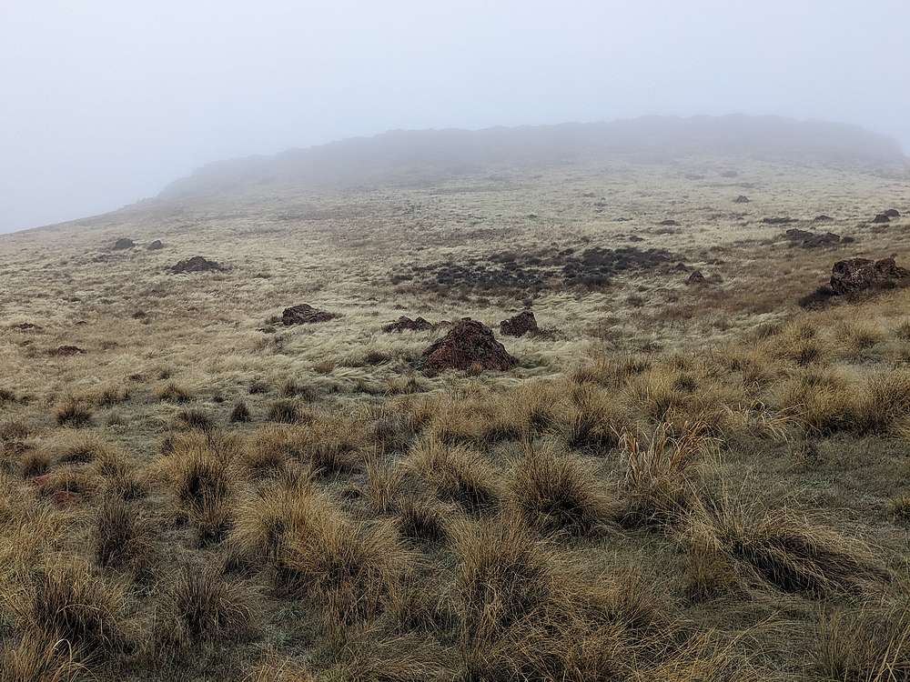
After a fairly flat approach, it was time to head uphill into the fog.
|
|
|
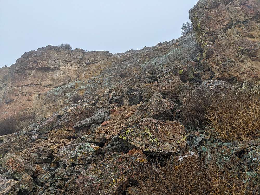
There was one scramble section along the way. I'm sure there are easier ways up, but the fog made it hard to see, and this was more fun anyway.
|
|
|
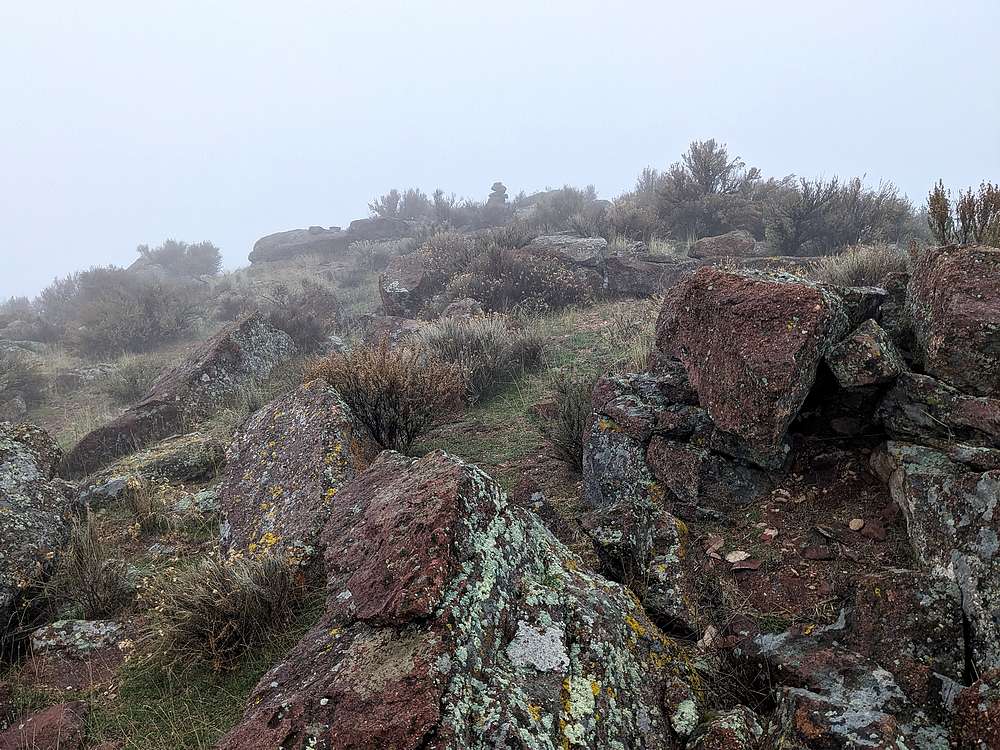
Is that a cairn up ahead? Must be close to the highpoint…
|
|
|
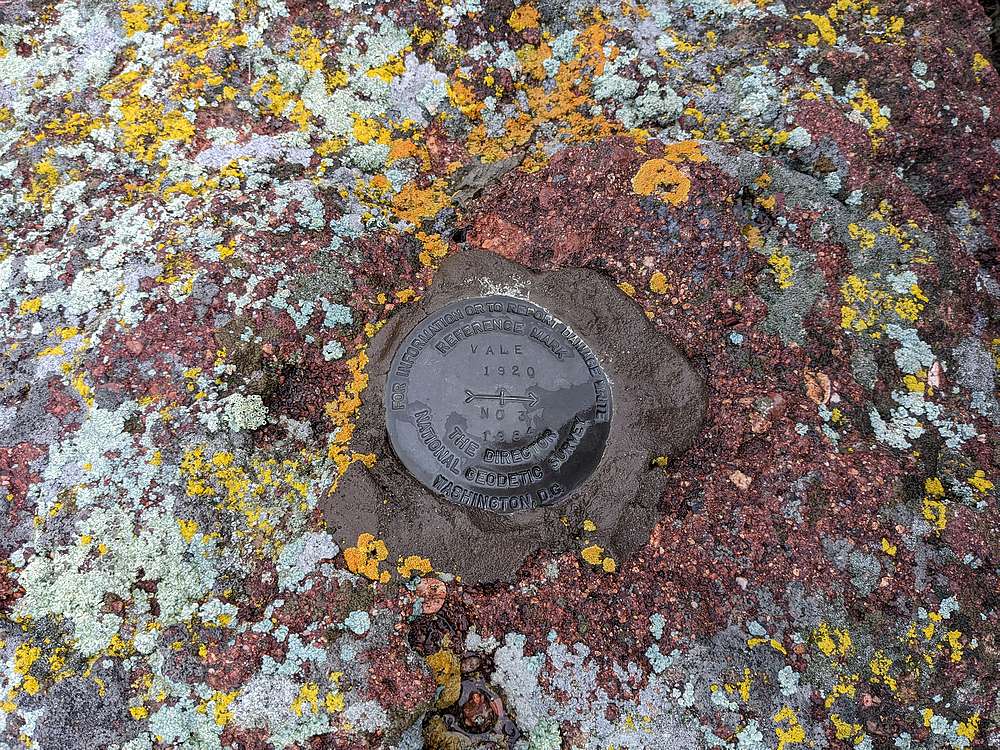
Here's the summit benchmark. Unfortunately no views, and time to go down. On the way back to the car, I went cross country most of the way to avoid mud on the road. Note, these roads are not recommended in wet conditions, the dirt turns to sloppy gumbo.
|
|
|
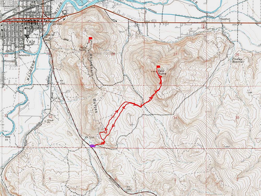
Map of my route. Round trip was about 4 miles and 900' of elevation gain. The hike took around 90 minutes.
|
Related Links
|
 |
IdahoAlpineZone is unofficially sponsored by Skippy Peanut Butter.