|
Slide Gulch Peaks
Slide Gulch is located in southwest Idaho’s Boise Mountains. It drains into the middle fork Boise River, above Arrowrock Reservoir. There are 4 peaks surrounding the headwaters of Slide Gulch, making for a good, mostly off-trail, loop hike. Best time to visit is late spring when the wildflowers start blooming, or in the fall. But be prepared for hunters.
|
|
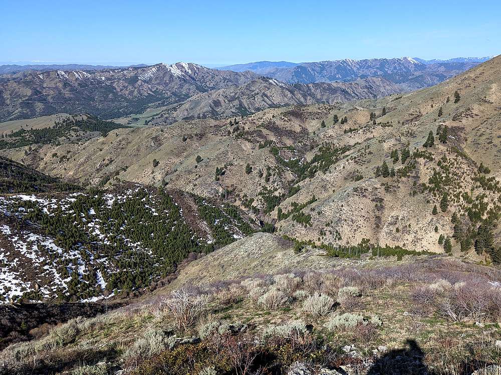
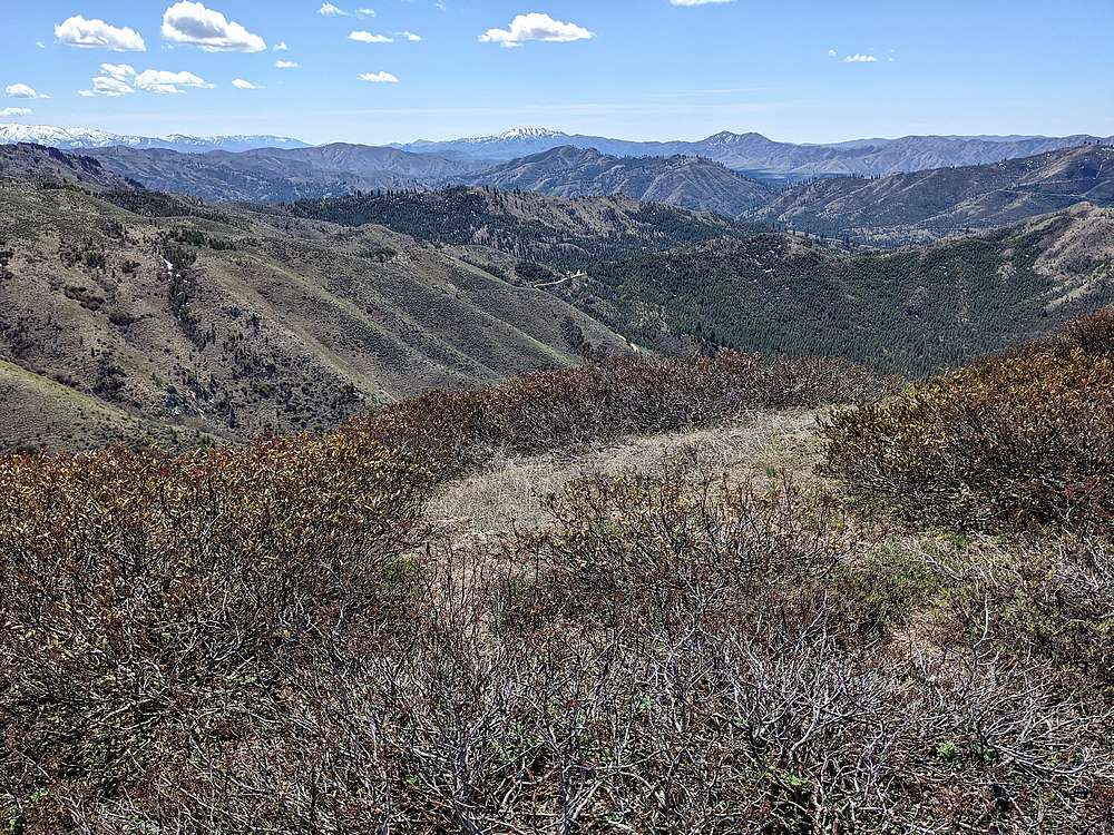
After a 2 hour drive from Boise, I parked at the pass at the top of Slide Gulch, and started hiking westward. My goal was to sidehill around to Corral Creek, and follow the trail up toward the first peak. This shot was taken looking into Corral Creek, after a mile and a half of side-hilling.
|
|
|
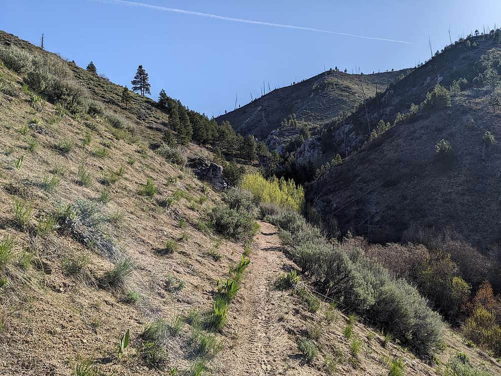
The single track moto trail heading up Corral Creek was a nice break from the side-hilling.
|
|
|
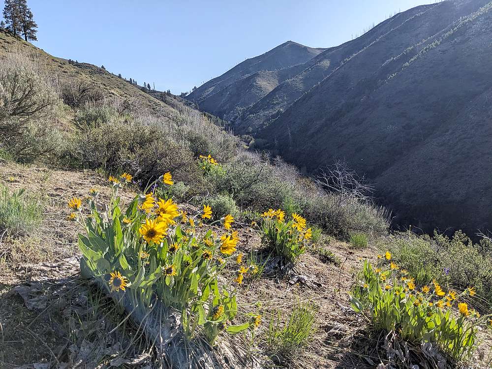
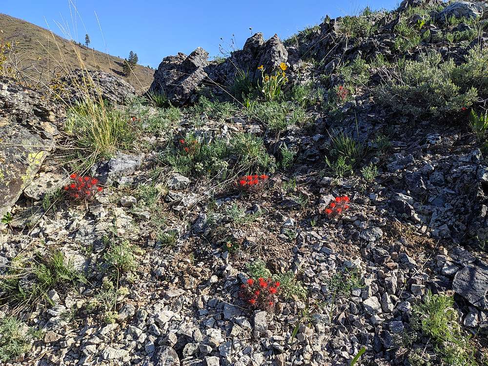
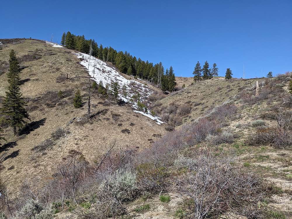
Soon enough, I crossed the creek and started up the southwest ridge of "Corral Peak". Some nice wildflowers to stop and enjoy during the steep hike up.
|
|
|
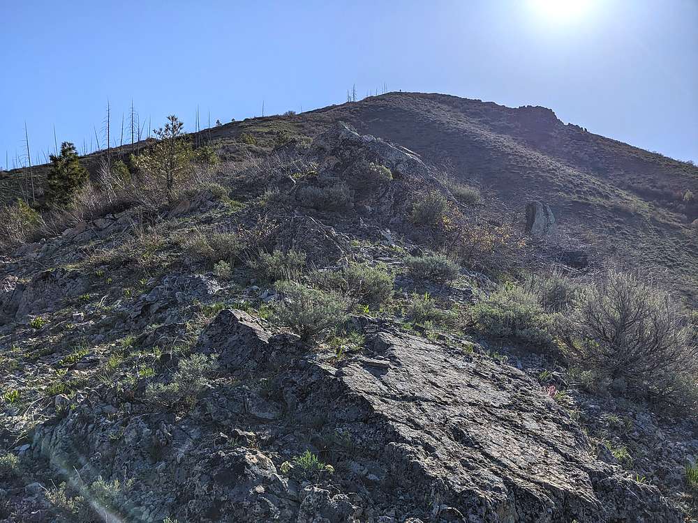
View looking up the southwest ridge of "Corral Peak" (elevation 6273').
|
|
|
Looking back on Grape Mountain, from the southwest ridge of Corral Peak.
|
|
|
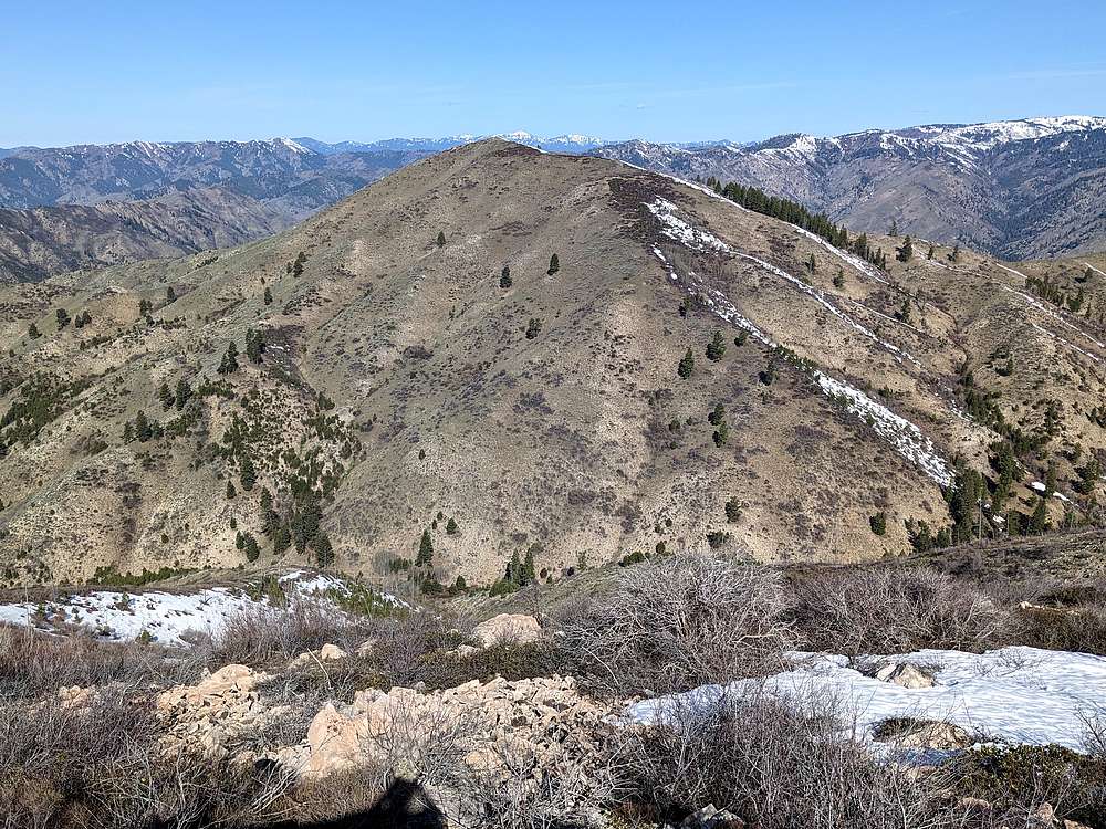
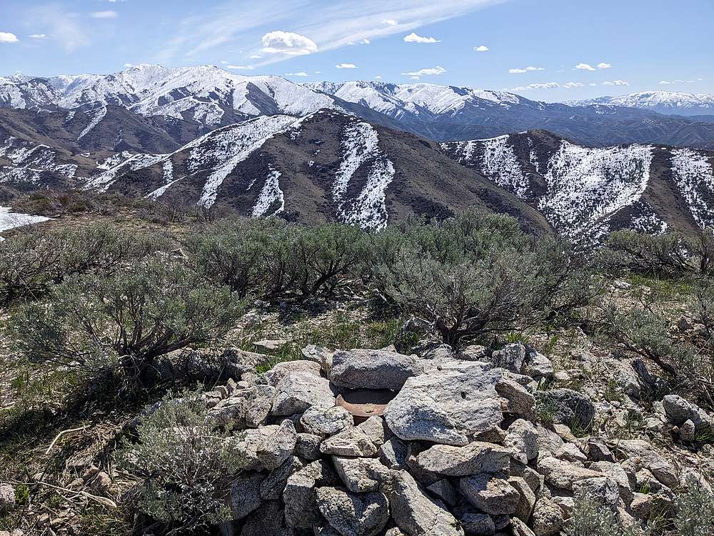
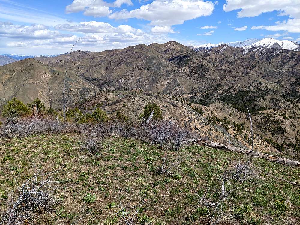
Good views from the summit of Corral Peak, including this view looking east at "East Slide Peak", the next objective for the morning.
|
|
|
After dodging a few snowfields on the descent back to the creek, I chose the more gradual ridge on the right, to head up East Slide.
|
|
|
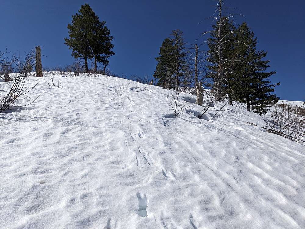
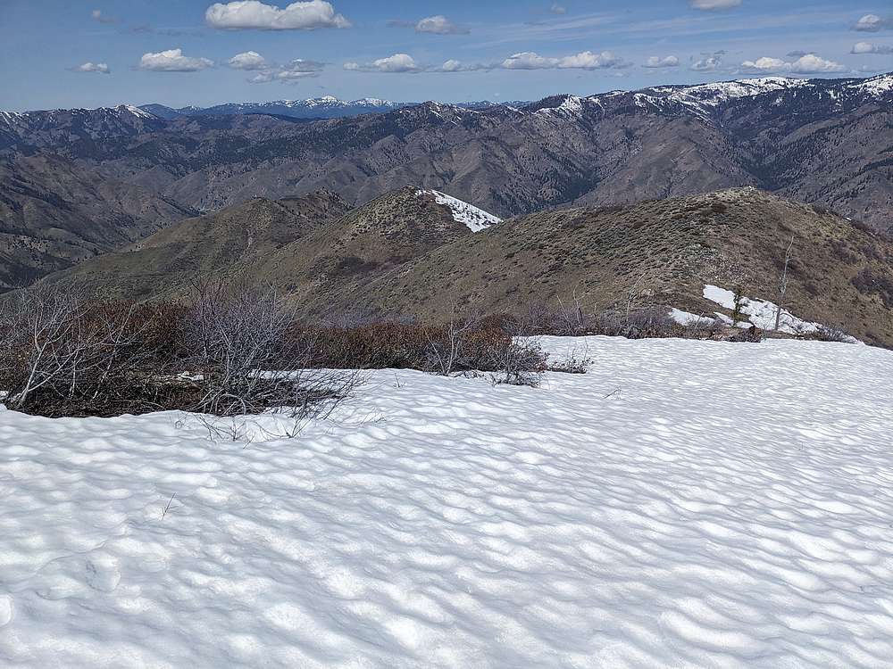
Still some north facing snowfields above 6000' as I made my way up the ridge toward East Slide. Thankfully the snow was firm.
|
|
|
Summit view from "East Slide Peak" (elevation 6300'), looking west at Corral Peak.
|
|
|
After a lunch break, it was time to head east down the ridge toward the next peak.
|
|
|
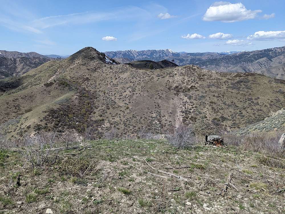
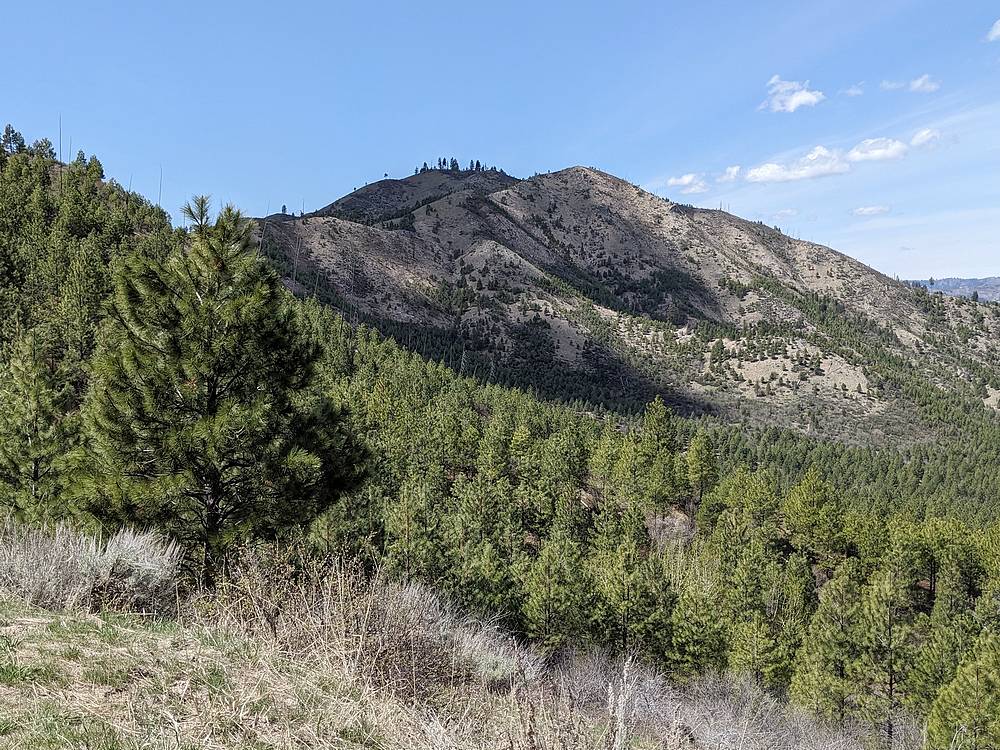
Some easy bushwhacking led me to this view of "North Slide Peak" (elevation 5440') across the valley.
|
|
|
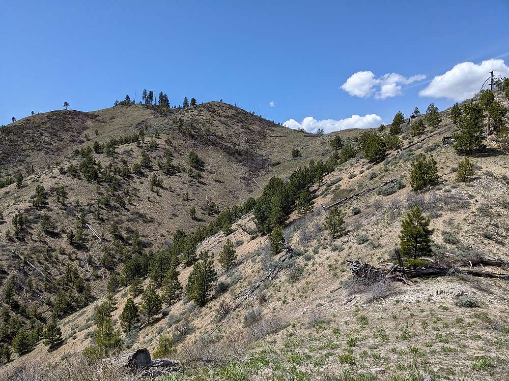
The final stretch of ridge to North Slide was a nice walk.
|
|
|
From North Slide, I could see the road below, and where I’d parked at the saddle. Danskin Peak in the distance.
|
|
|
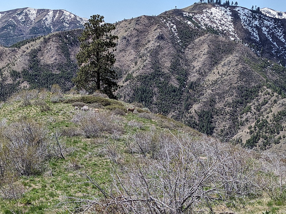
A group of deer just south of the summit of North Slide Peak.
|
|
|
After descending from North Slide, I had three quarters of a mile of road hiking to regain the saddle where I’d parked. Along the way, I had a good view of my fourth and final objective of the day, "West Slide Peak" (elevation 5424').
|
|
|
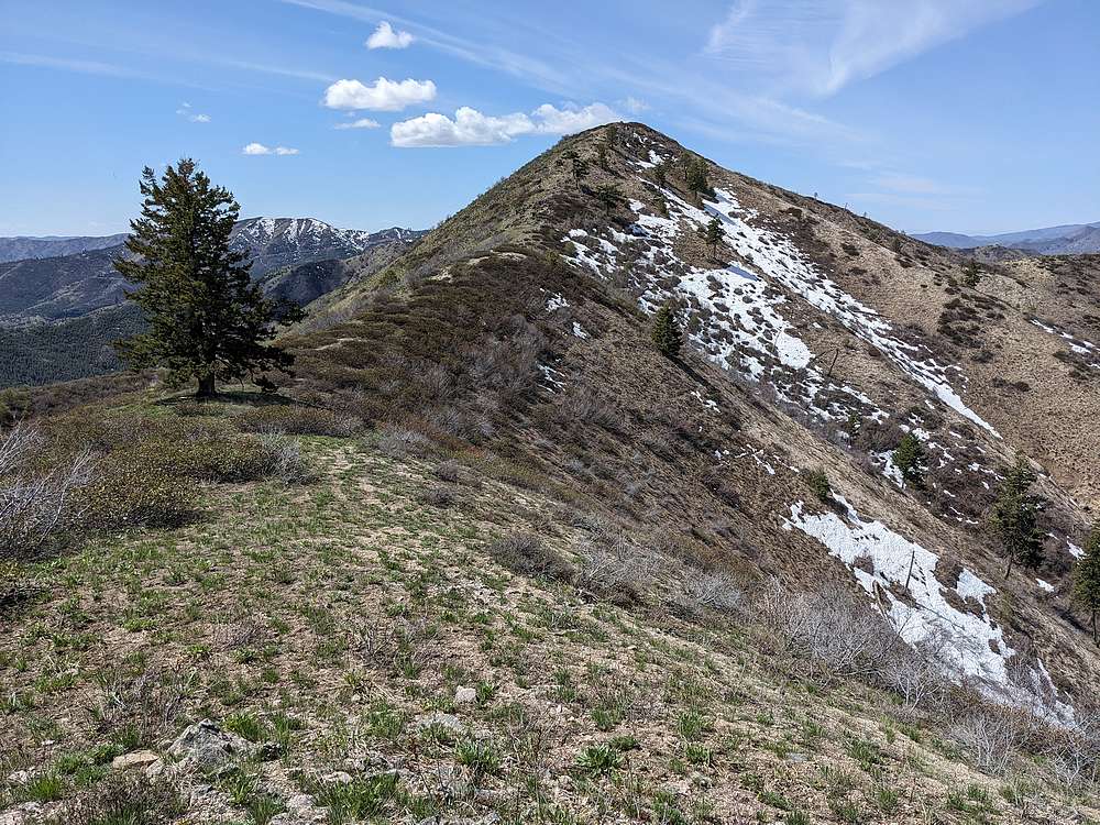
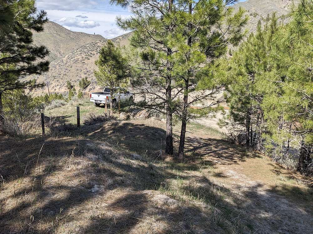
I stopped at my truck to take a few extra items out of my pack, then headed up the undulating west ridge of West Slide.
|
|
|
The final climb of the day was more tiring, and I had to contend with some bushwhacking just below the summit. But I was rewarded with good views looking back across Slide Gulch at the day's prior three peaks.
|
|
|
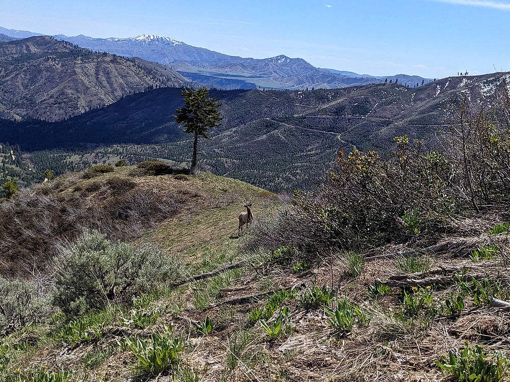
There were a group of deer on the summit of West Slide when I arrived, and the spike bull elk wandered up while I was having a snack.
|
|
|
After retracing the path back down the ridge, it was nice to be back at the trailhead. Great day in the mountains!
|
|
|
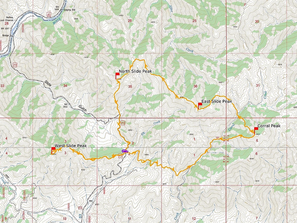
Map of my route. Just over 11 miles and 4800' elevation gain round trip, in a 7.5 hours of hiking. I went counter clockwise.
|
Related Links
- Trailhead Location
- My GPS Tracks
- Corral Peak: LOJ, Map
- West Slide Peak: TL, PB, LOJ, Map
- North Slide Peak: TL, PB, LOJ, Map
- East Slide Peak: TL, PB, LOJ, Map
|