|
Apex Peak
Apex Peak is a remote 11,000-foot peak found eastern Idaho’s Lost River Range. It’s located on the backside of the range, and boasts great views of the some of the tallest peaks in Idaho. The most straightforward access is via the east fork of Burnt Creek, and then climbing up the long north ridge. It is possible to make a loop hike out of this climb, and add in two other nearby peaks.
|
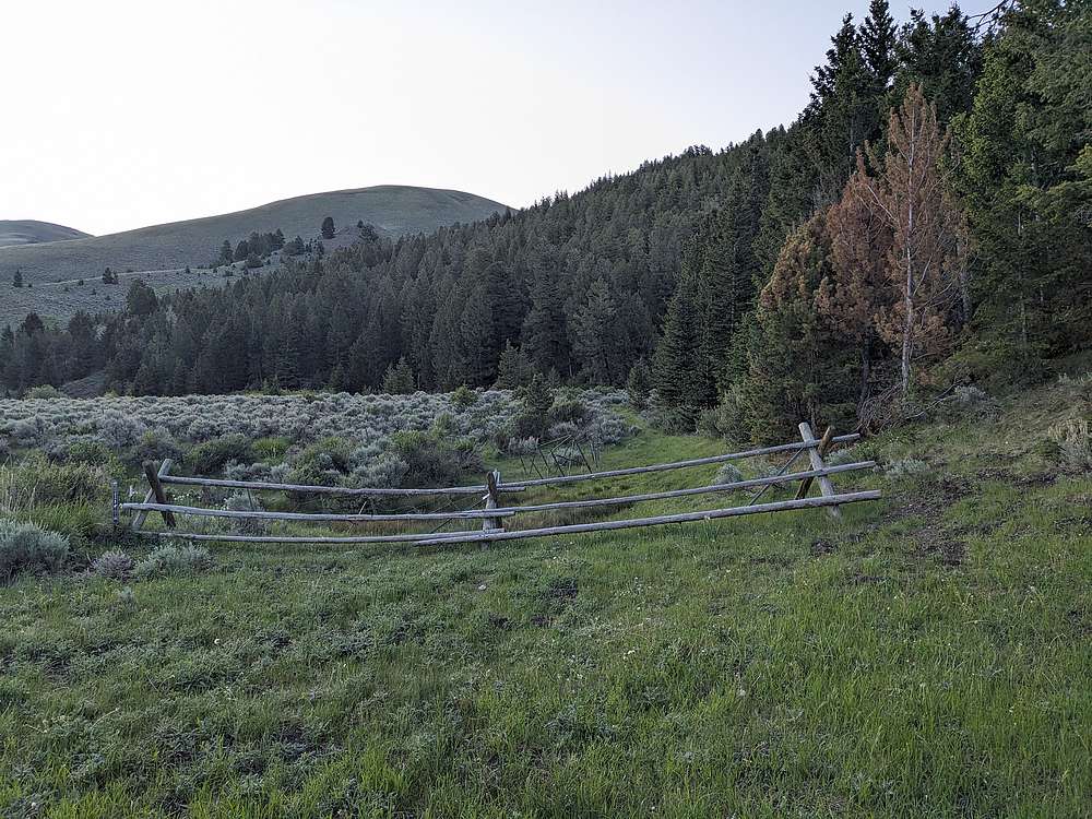
I'd camped at the Burnt Creek trailhead the night before. Here's the start of the trail.
|
|
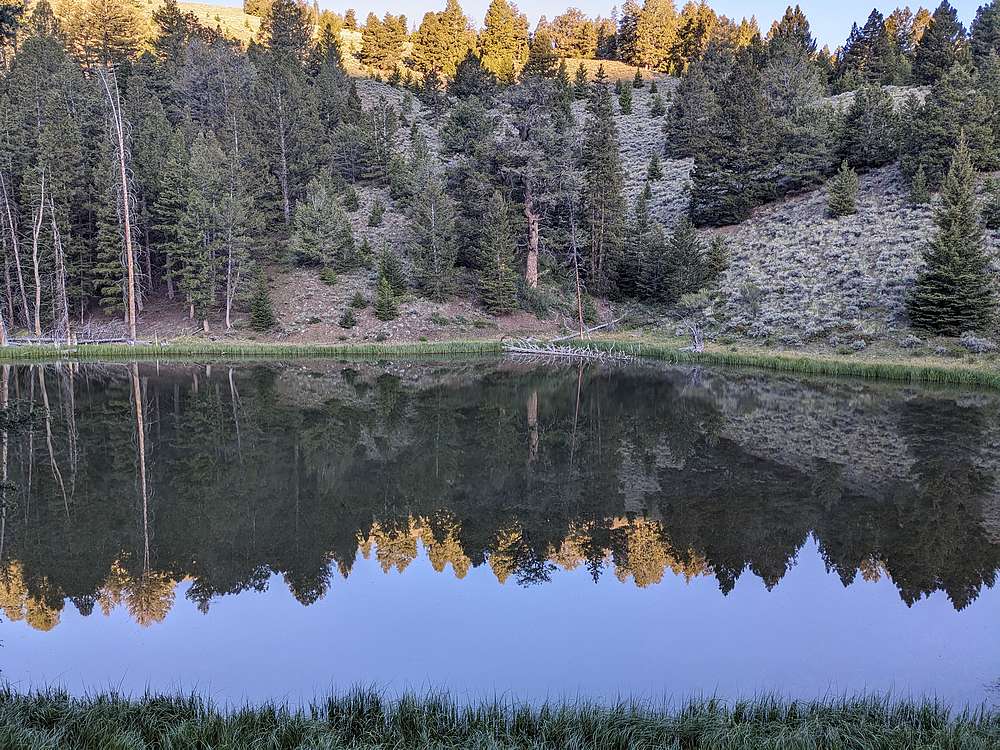
Burnt Creek Lake is a nice little oasis, only about three-quarters of a mile from the trailhead.
|
|
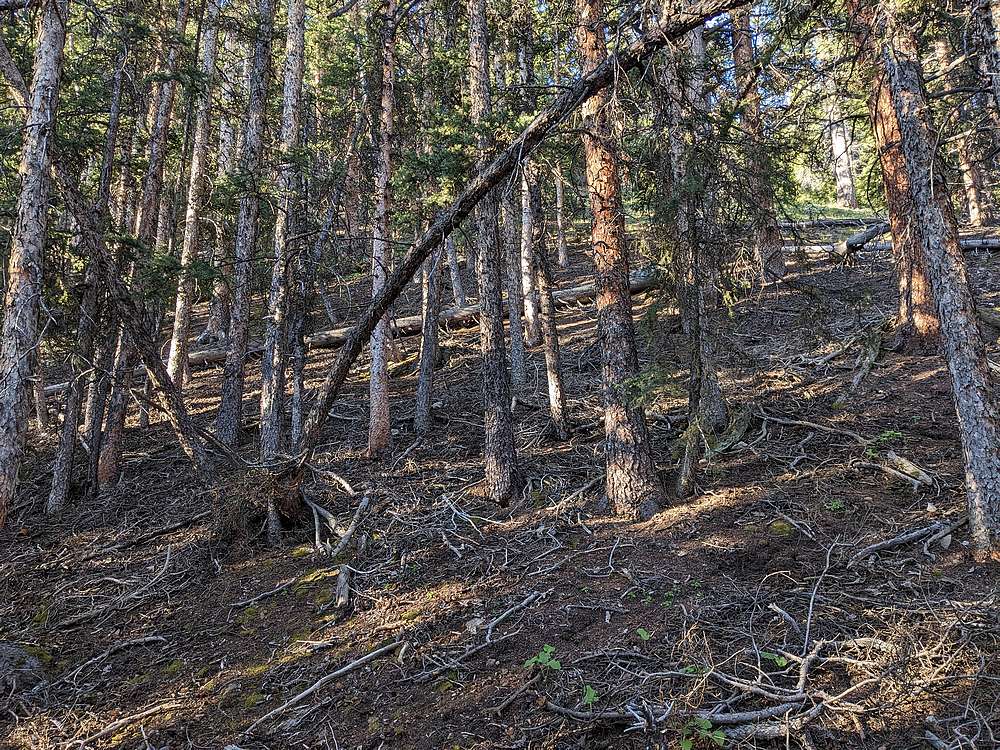
After the lake, the uphill begins in earnest, starting with some steep forest climbing.
|
|
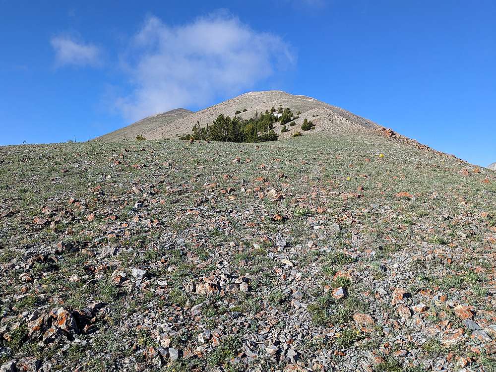
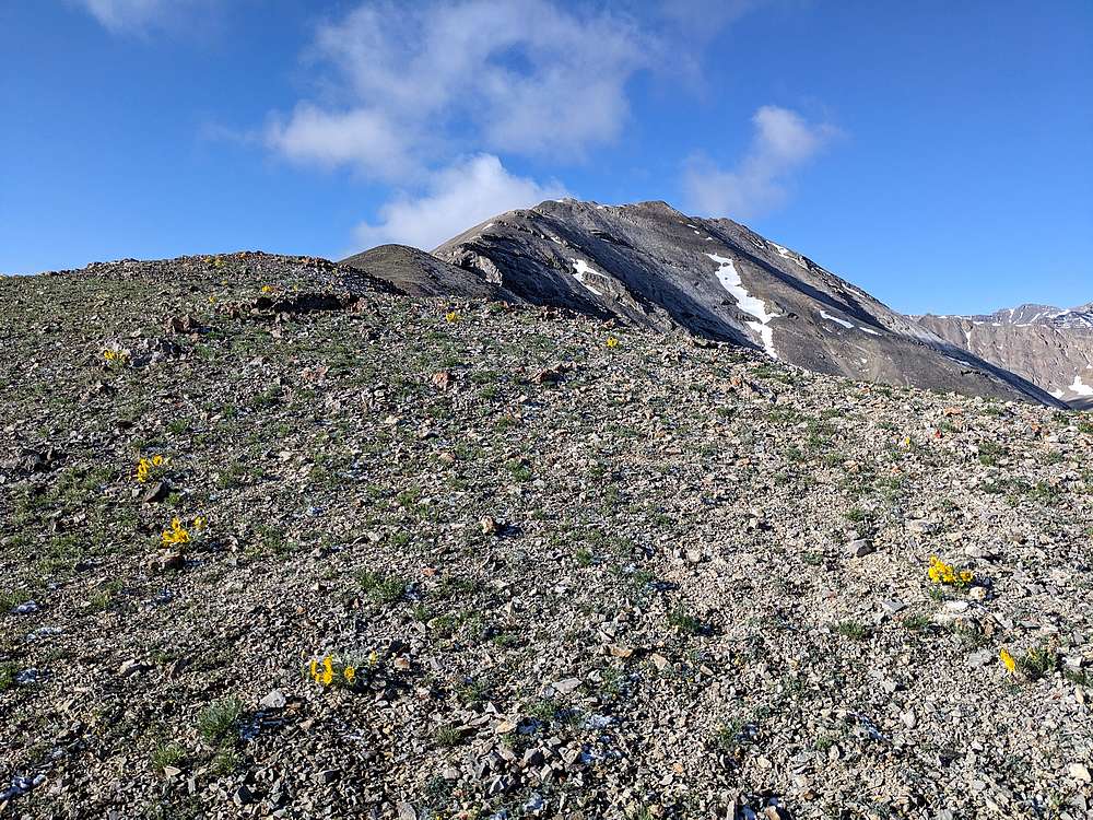
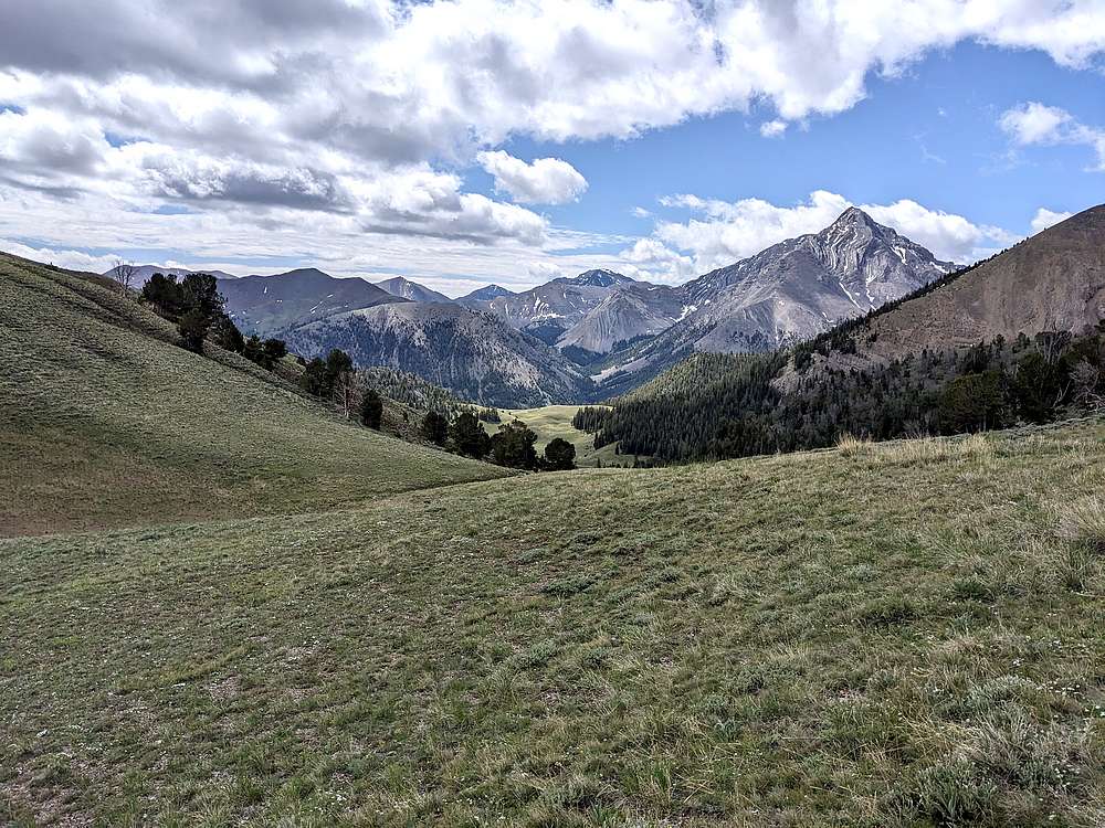
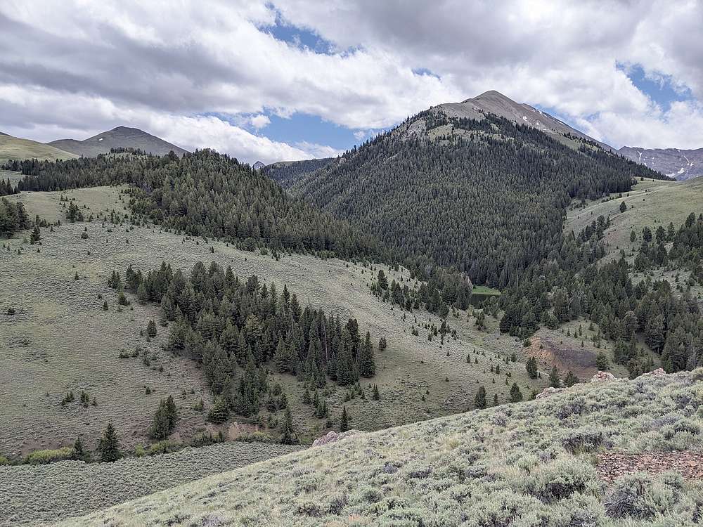
Above tree line, the views open up. But still a ways to go before you can see the summit.
|
|
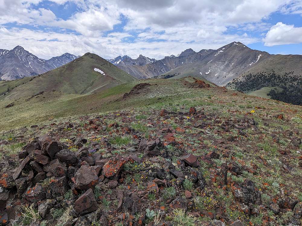
Now higher up on the long ridge, the summit finally comes into view.
|
|
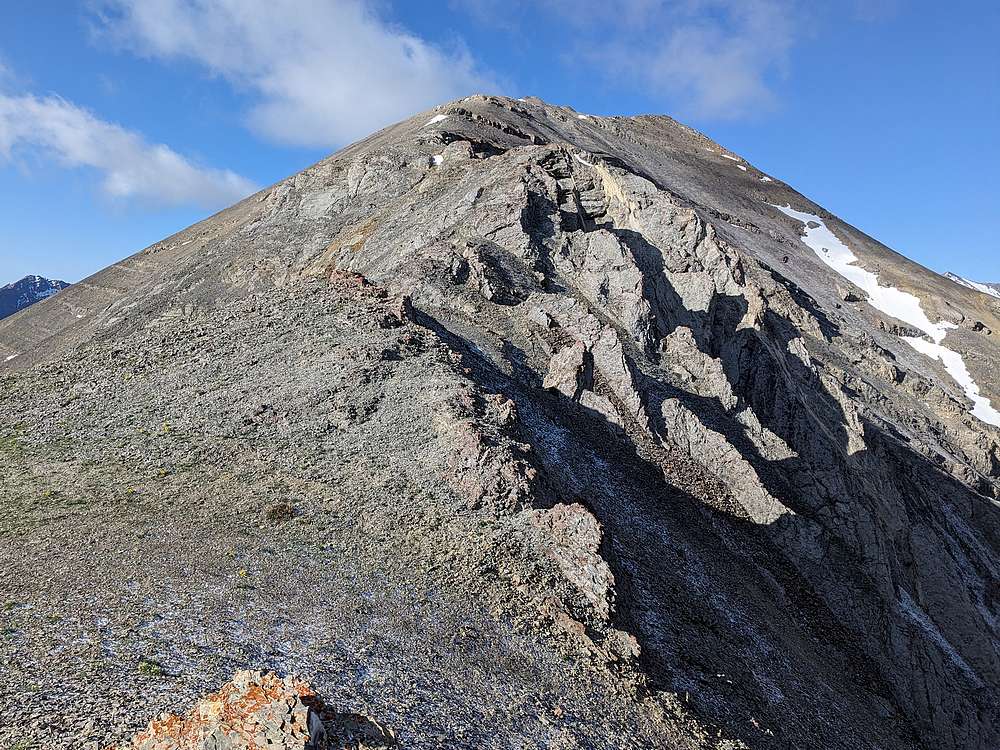
Here's the crux section of the climb. I’d rate it low 3rd class.
|
|
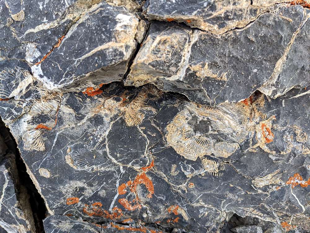
Fossils embedded in a rock face.
|
|
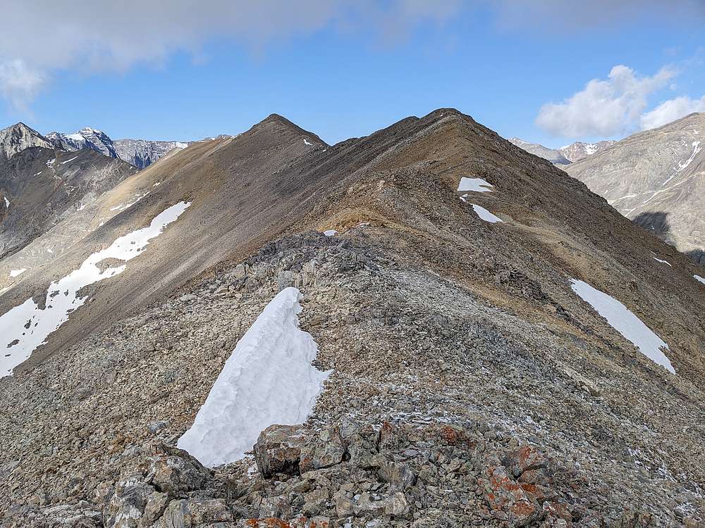
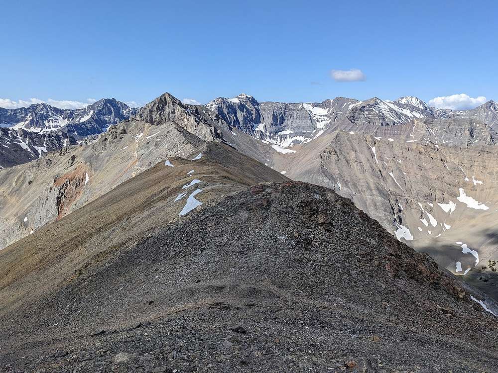
This is the final flattish section of ridge leading to the highpoint.
|
|
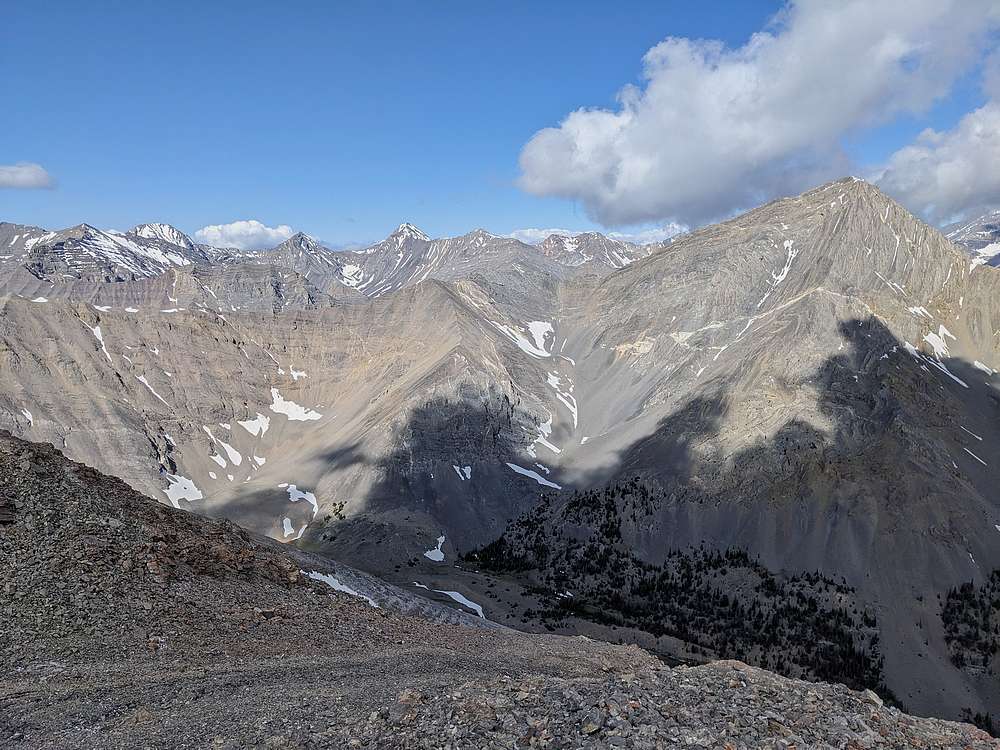
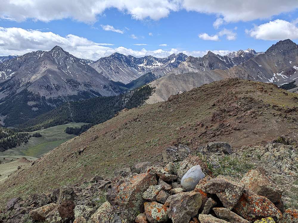
View of Mount Corruption, from Apex Peak. Church, Badrock, and Leatherman in the background.
|
|
Cleft Peak visible in the foreground, Breitenbach, No Regret, Church, and others in the background.
|
|
After a PB&J on the summit, it was time to head back along the ridge. Low cloud ceiling.
|
|
Next up, descending the east face of Apex Peak, then up East Burnt Peak.
|
|
A view of Ferguson Peak from the saddle between East Burnt and Apex.
|
|
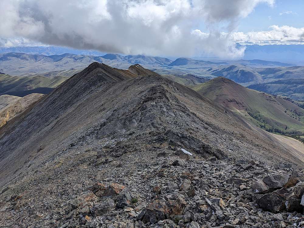
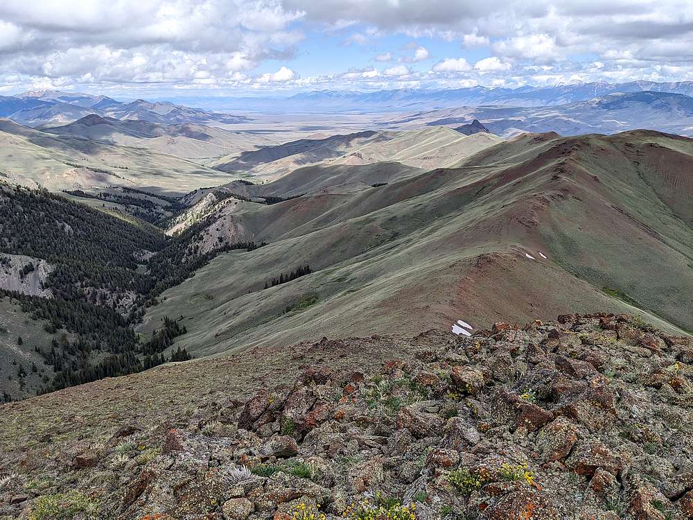
It was a bit of a grind going up East Burnt Peak, but well worth the effort to get these views.
|
|
From East Burnt, I would head north toward the next peak, Shortstop Peak. Rick Baugher applied this nickname since its at the head of Short Creek. (It also happens to be the highpoint of the Burnt Creek Wilderness Study Area.)
|
|
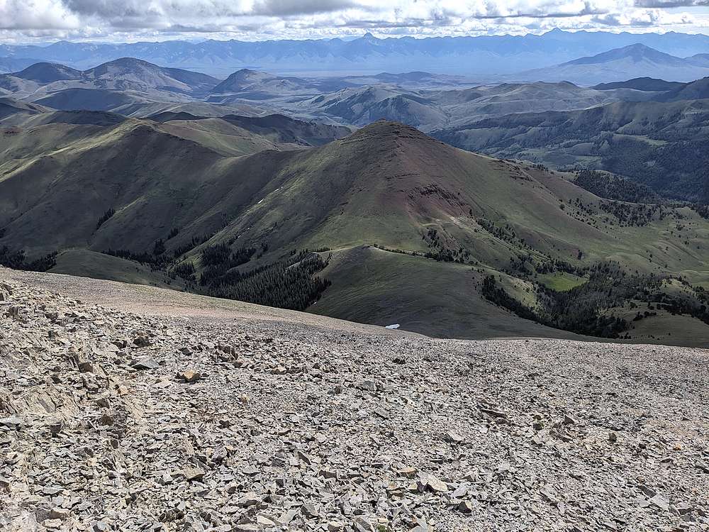
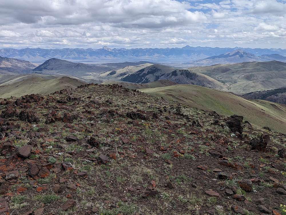
Bell Mountain and Diamond Peak in the Lemhis, from the summit of Shortstop Peak.
|
|
Looking back on East Burnt Peak and Apex Peak, from Shortstop Peak.
|
|
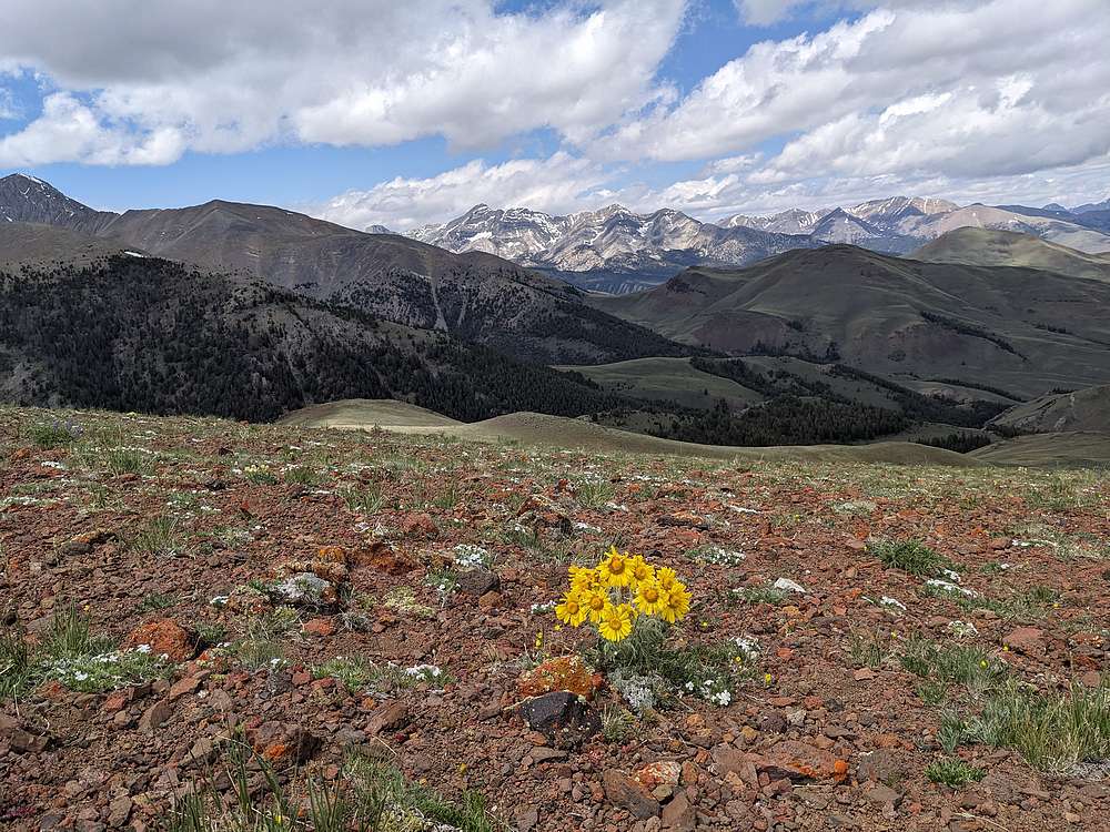
Old Man of The Mountain flower, and Mount Borah in the background.
|
|
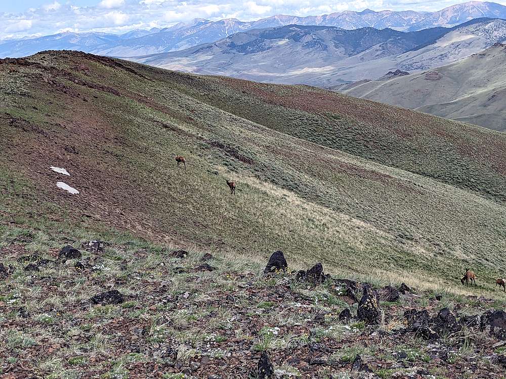
On the way down the open ridge, I met a group of at least 14 elk.
|
|
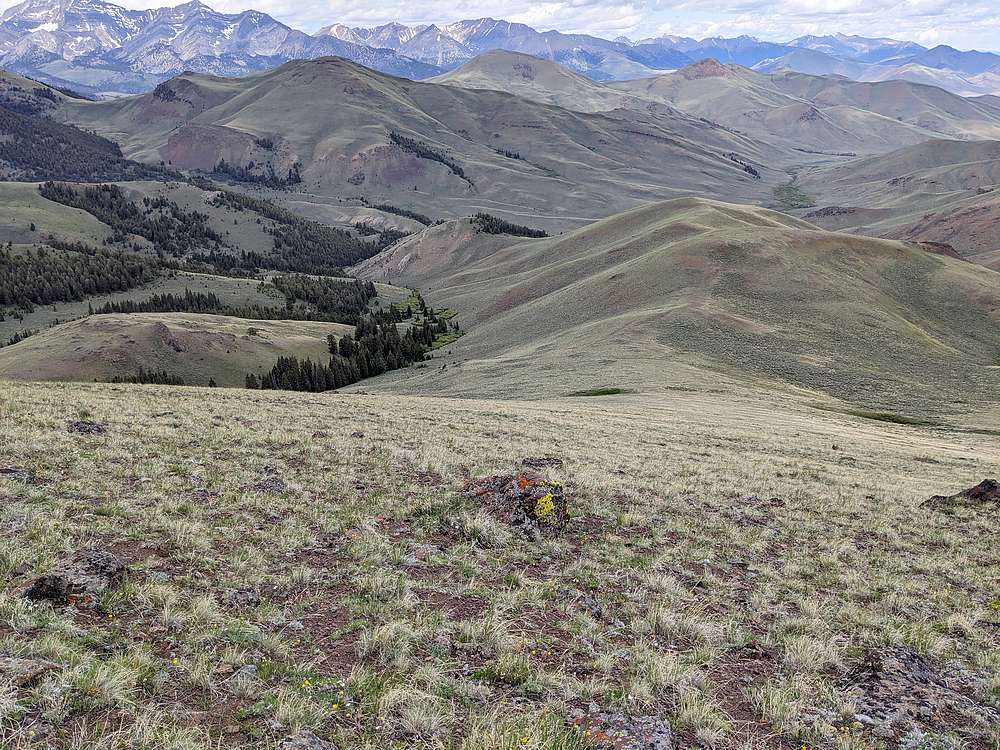
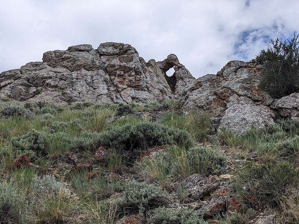
Northwest slopes of Shortstop Peak. I decided to go this way and get a close of view of a rock arch I’d spotted from the trail earlier. Great open terrain for hiking.
|
|
Another view of East Burnt and Apex Peak, from the north.
|
|
I was able to find the arch on the way down, stuck my head in it and everything,
|
|
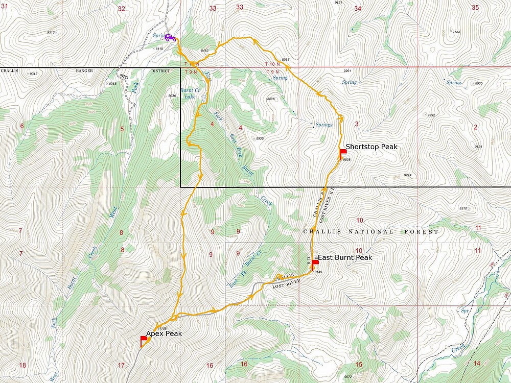
Map of my route. Around 9 miles and 4500' elevation gain round trip, in a 8 hours of hiking. I went counter clockwise.
|
Related Links
Lists of John Data
Peakbagger Stats
Trailhead Location
My GPS Tracks
Area Map
East Burnt Peak:TL, PB, LOJ, Map
Shortstop Peak:TL, LOJ, Map
|