|
Wilson Peak
Elevation 7865'
Wilson Peak is located in the West Mountains of west central Idaho. Access is via the Snowbank Mountain road, not far past the Blue Lake trailhead. The surrounding forest was partially burned in the 2024 Lava Fire, but the fire was patchy in this area. Wilson Peak itself isn’t at all noteworthy, but the open terrain makes for a scenic approach hike.
|
The start of the hike from the road is almost the same elevation as the summit, so the first step is to descend into Wilson Meadows. FYI, actual trails in the area are mostly faint and don’t match locations shown on the map.
|
|
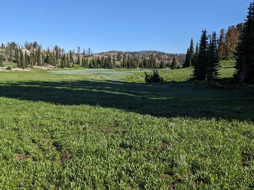
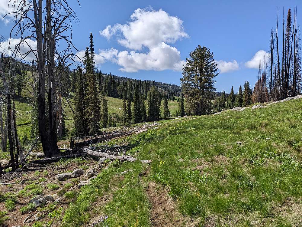
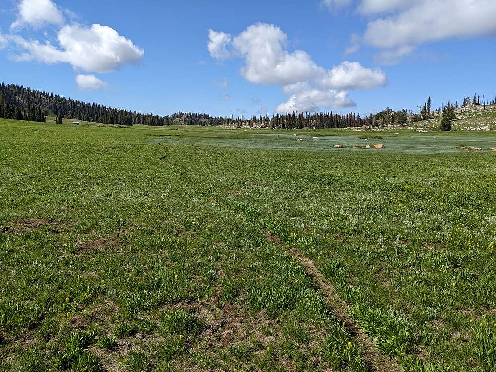
Wilson Meadows were lush and very scenic.
|
|
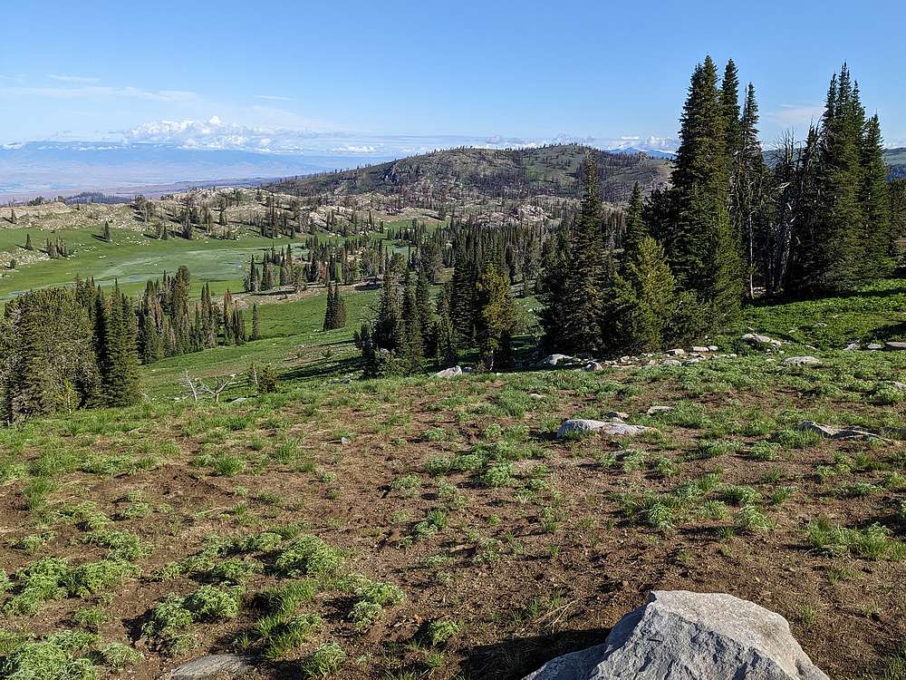
After following the creek down for a while, I angled up the hillside and found a faint trail leading to a low saddle just southwest of Wilson Peak.
|
|
View of the partially burned summit of Wilson Peak.
|
|
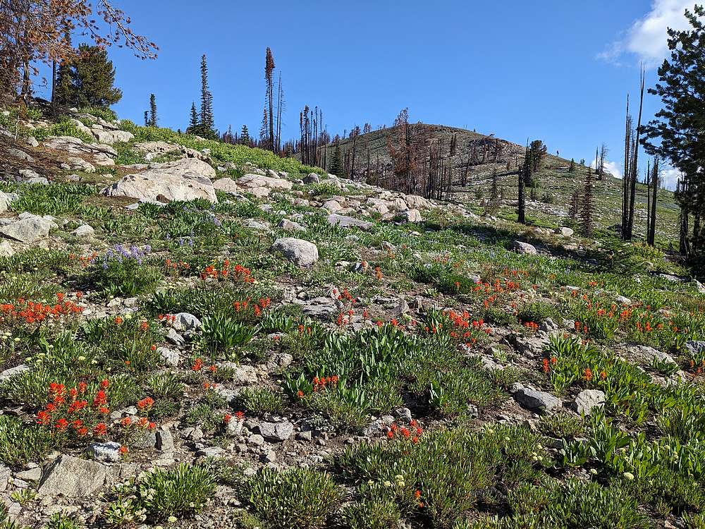
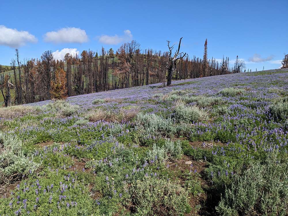
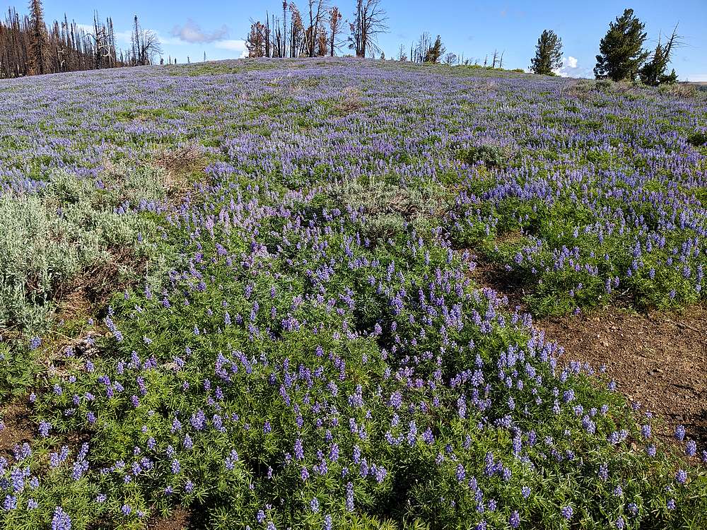
Fields of Lupine blooming on the way up the gentle ridge.
|
|
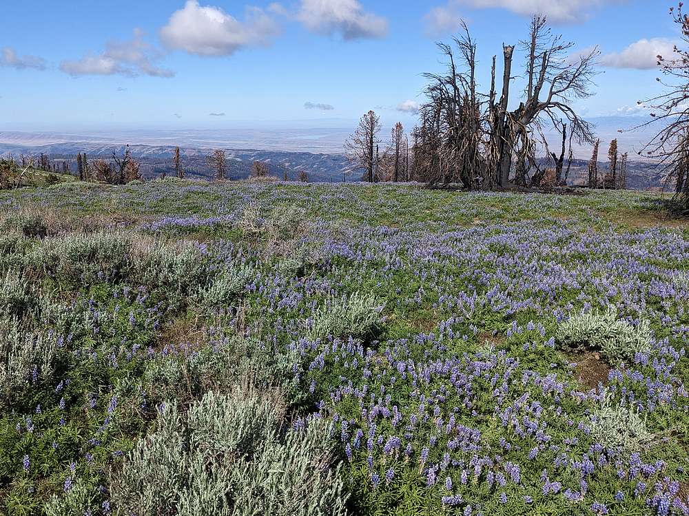
The Weiser River Valley to the west from Wilson Peak.
|
|
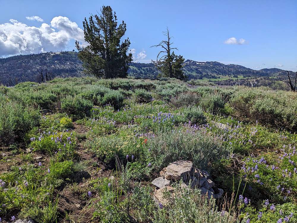
Wilson Peak summit view of Snowbank Mountain and Granite Peak.
|
|
After snapping some photos, its was time to head back. This is a view of Wilson Meadows from the north.
|
|
Strolling through Wilson Meadows before climbing back up to the road.
|
|
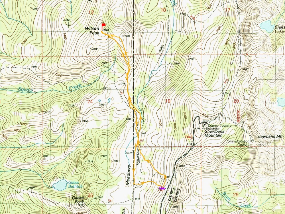
Map of my route. Just over 4 miles and 1000' elevation gain round trip, in 2 hours of hiking.
|
Related Links
|
 |
IdahoAlpineZone is unofficially sponsored by Skippy Peanut Butter.