|
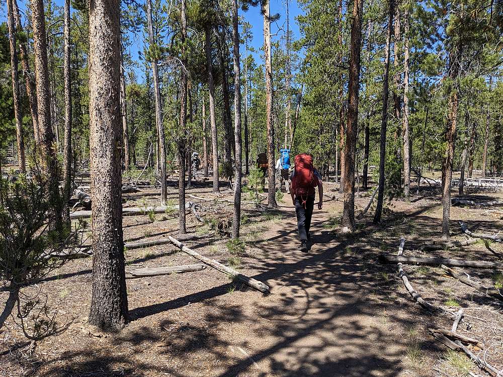
The road to Upper Hell Roaring trailhead was as bumpy as advertised. As we embarked on our 3 day backpacking adventure, the trail starts of pretty flat, wandering through lodgepole pine forest.
|
|
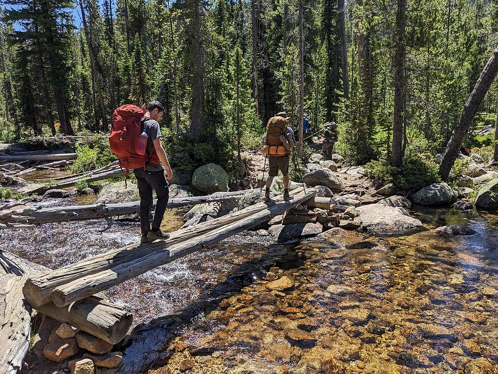
Crossing crystal clear Hell Roaring Creek.
|
|
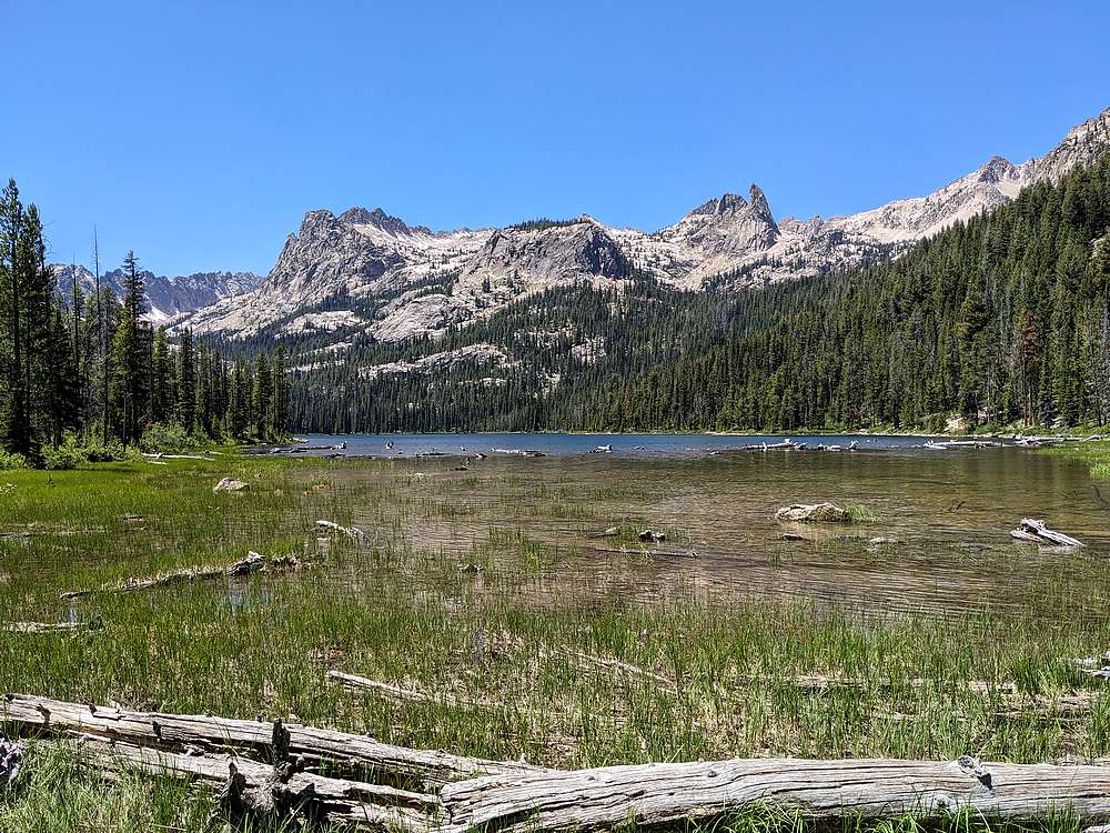
After almost 3 hours of pretty easy hiking, we stopped for lunch at Hell Roaring Lake. Finger of Fate towers above.
|
|
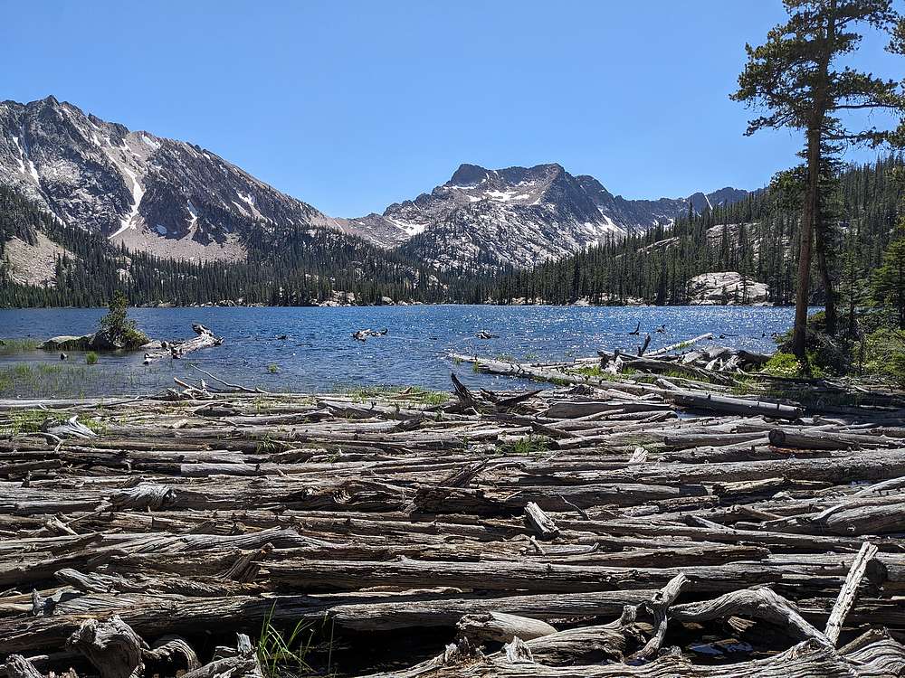
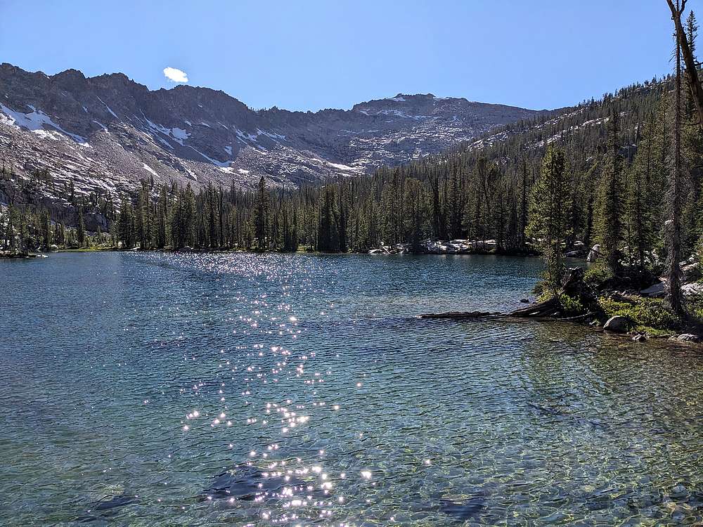
After lunch, we had a little climbing to do. But it was mostly shady with nice scenery on the way up to Imogene Lake. I clocked it at 6.75 miles and 1400' of elevation gain to reach the lake. Here's a view of Imogene Lake from the outlet. From here, we continued around the west side of the lake in search of a campsite big enough for 5 tents.
|
|
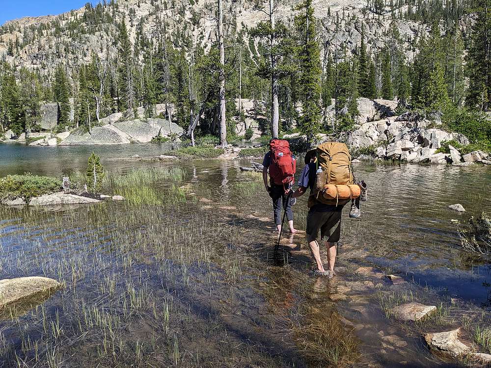
Our spirits were drooping as we continued around the lake, one campsite after anohter already occupied. After almost a mile, Lucas spotted a stepping stone path leading to the large island in Imogene Lake. We sent an exploring party, who led us to an amazing camsite on the southwest corner of the island.
|
|
While the others set up camp, I decided to go climb nearby Payette Peak.
|
|
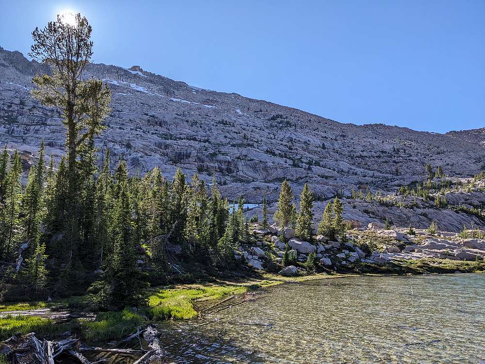
West face of Payette Peak from the uppermost lake. I planned to take a direct route up throught the granite slabs.
|
|
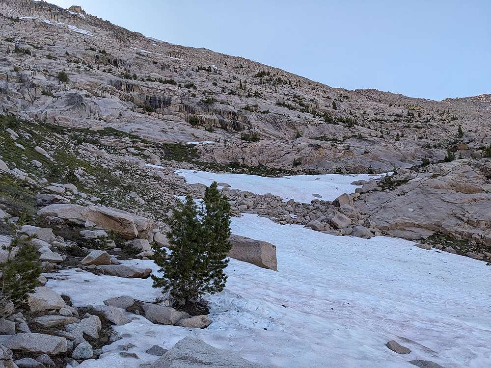
July snowfields on the way up.
|
|
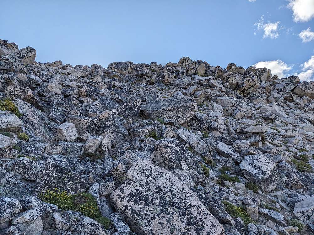
It got a little steeper near the summit, but not too bad.
|
|
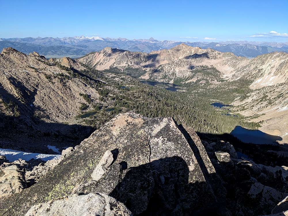
Payette Peak summit view looking east down the string of lakes to Imogene. Castle Peak and the White Clouds in the distance.
|
|
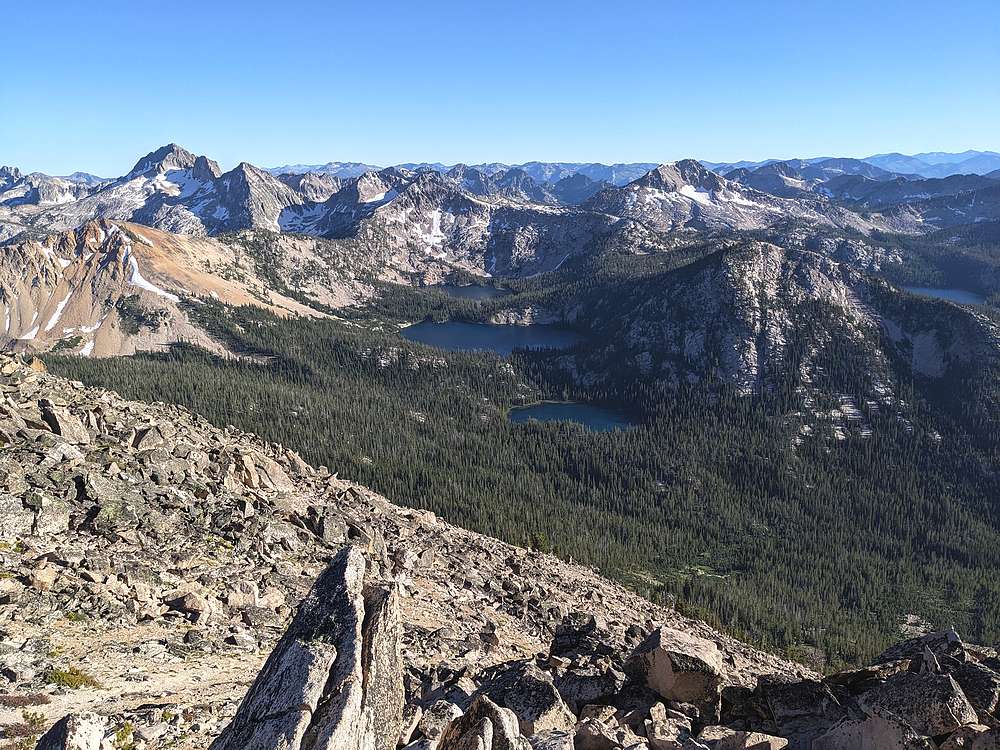
Payette Peak summit view looking south. Virginia, Edna, & Vernon Lakes, with Snowyside Peak in the background.
|
|
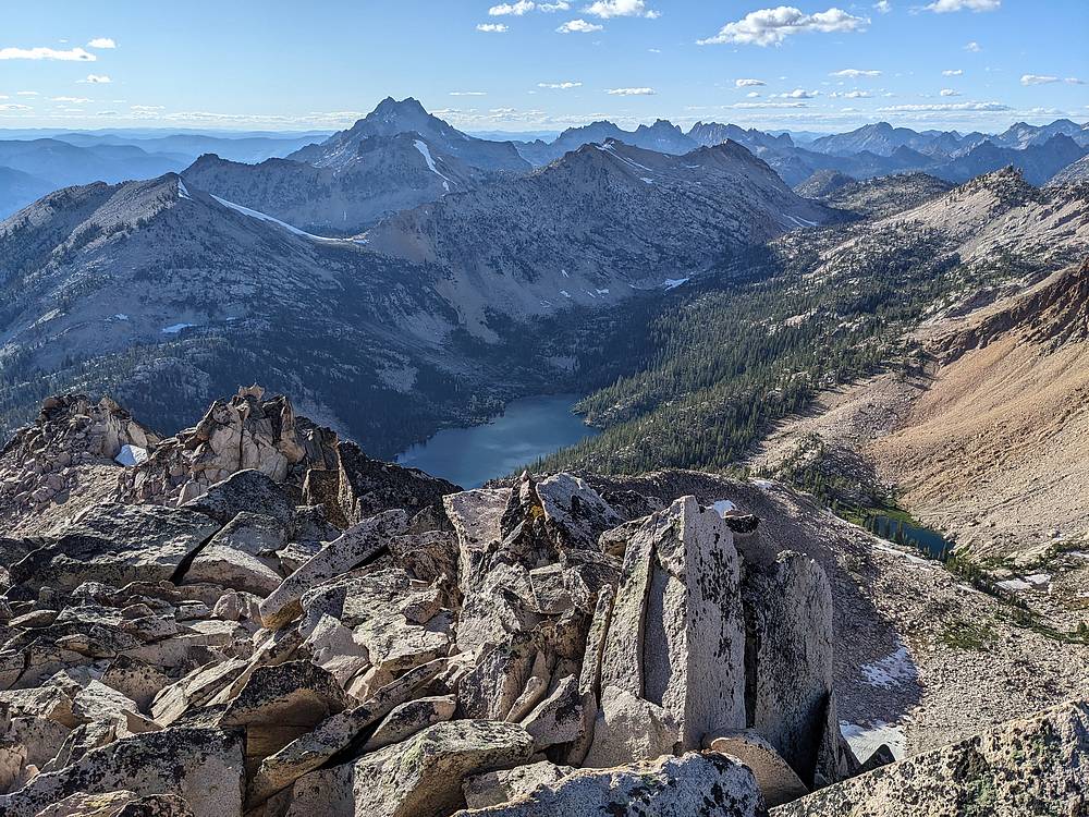
Elk Peak dominates the view to the northwest, Hiddle Lake below.
|
|
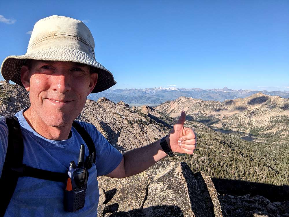
Thanks to decent reception on the two way radio, I was able to let my son know I was heading back down.
|
|
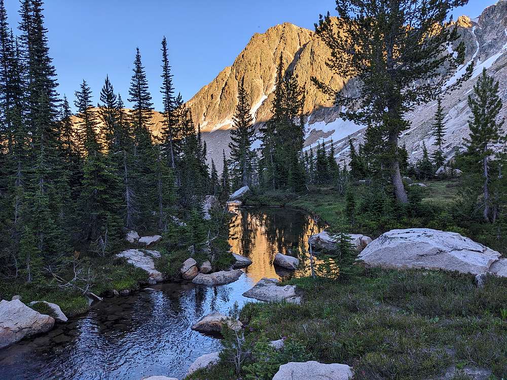
Alpenglow reflection during the hike back down the Imogene Lake.
|
|
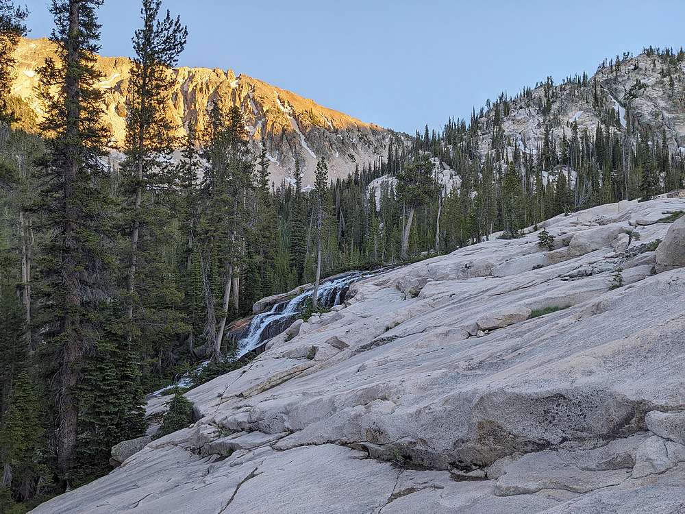
Descending a slabby section above Imogene Lake, with the creek running down the far edge.
|
|
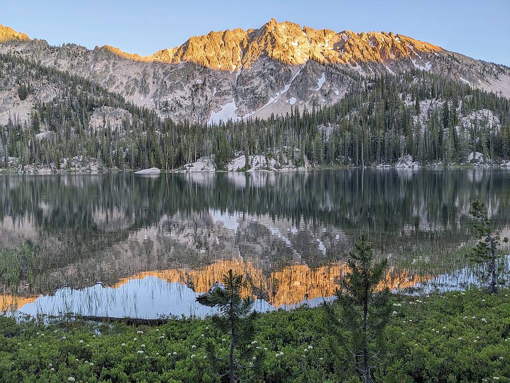
Amazing alpenglow on Imgogene Peak reflecting on Imogene Lake, almost back to camp. Time to set up my camp and eat some dinner!
|
|
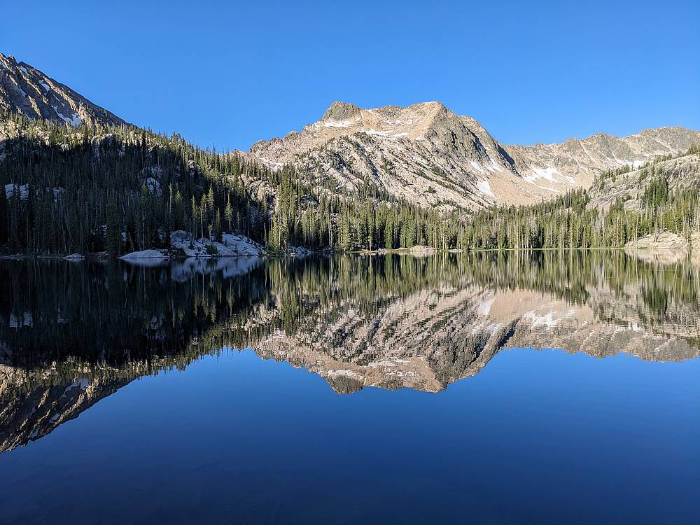
Day 2 started with a beautiful reflection on still Imogoene Lake, from our island campsite. Our plans for the day included a dayhike to Profile Lake, and hopefully a climb of Mount Cramer. After a leasurely start to the day, we donned daypacks, and headed to the northwest corner of the lake to find the unmaintained trail.
|
|
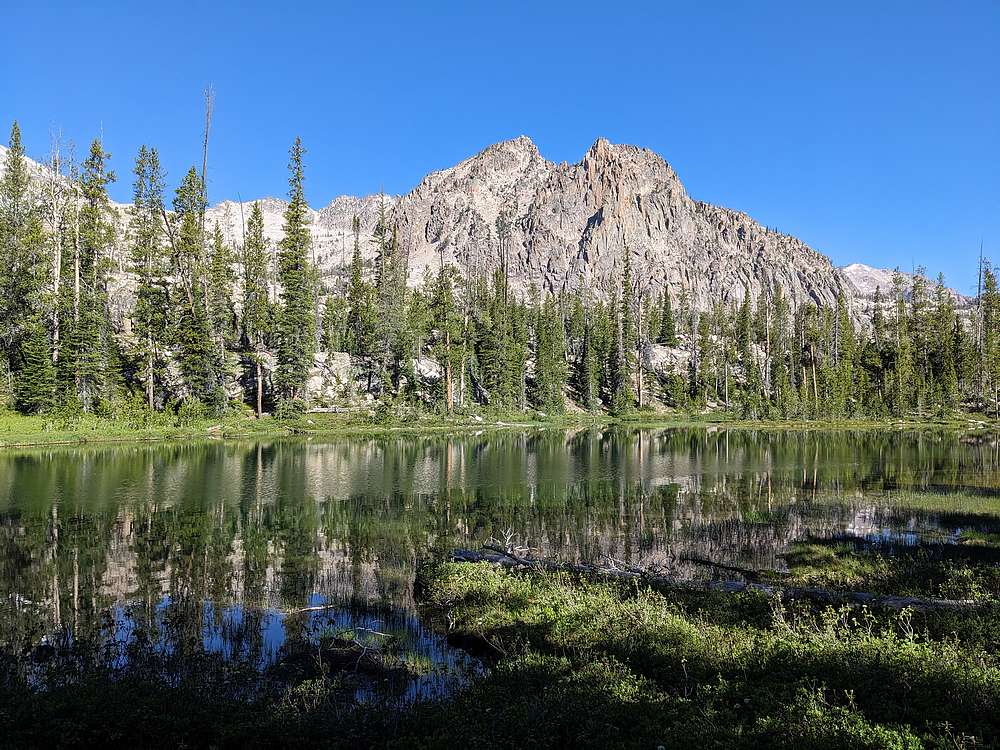
The unmainted trail drops 100+ feet to this scenic unnamed lake.
|
|
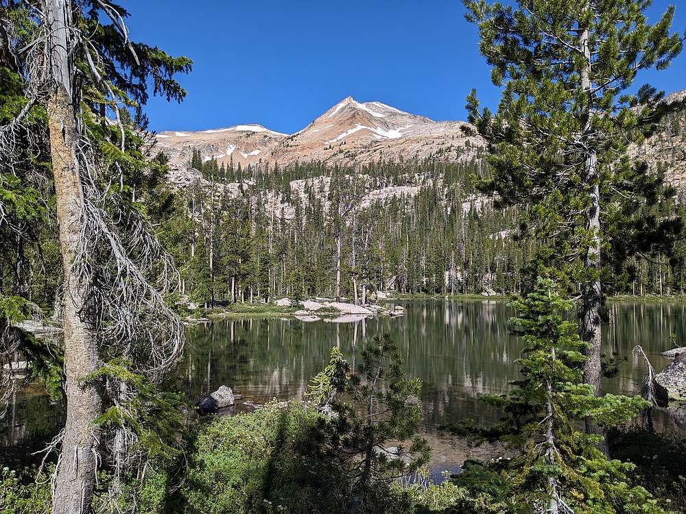
Next up was another unnamed lake and our first view of Mount Cramer.
|
|
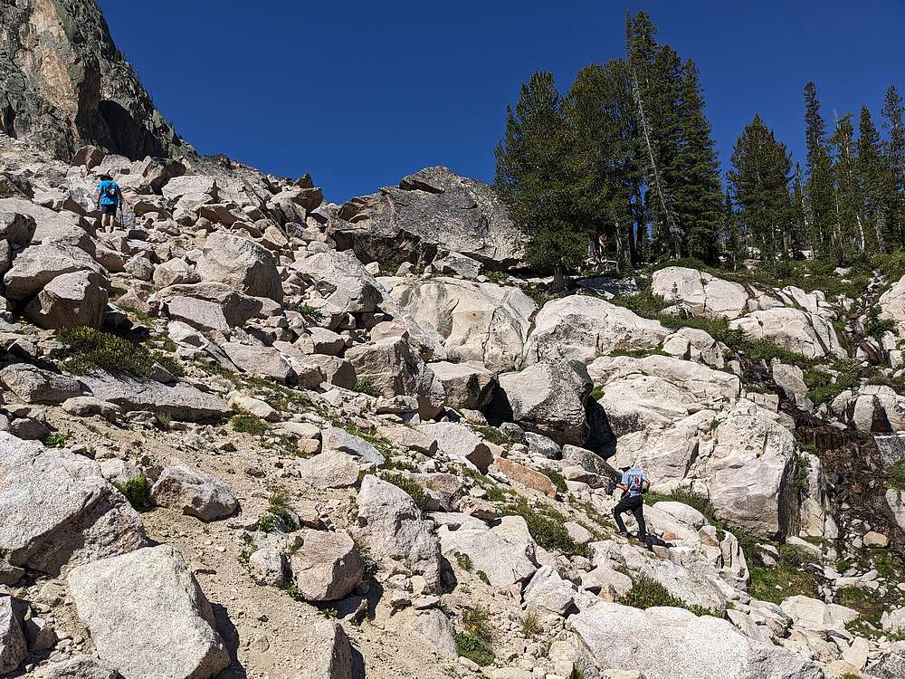
After the two small lakes, the hike gets more adventuresome, including some boulder hopping. We stayed on the south side of the creek up the boulders and ledges.
|
|
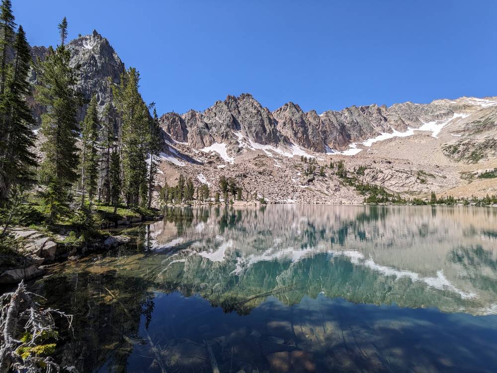
Above the boulder field, we arrived at Lucille Lake. What a beautiful place! We stopped here for an extended snack break, enjoying the amazing lake. But after awhile, it was time to head up the Profile Lake.
|
|
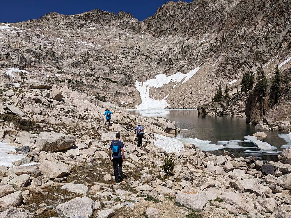
Approaching Profile Lake, we knew it was going to be impressive.
|
|
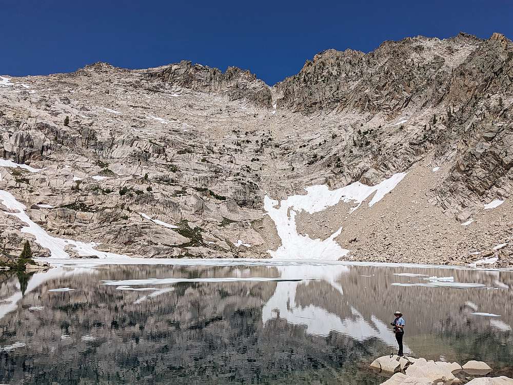
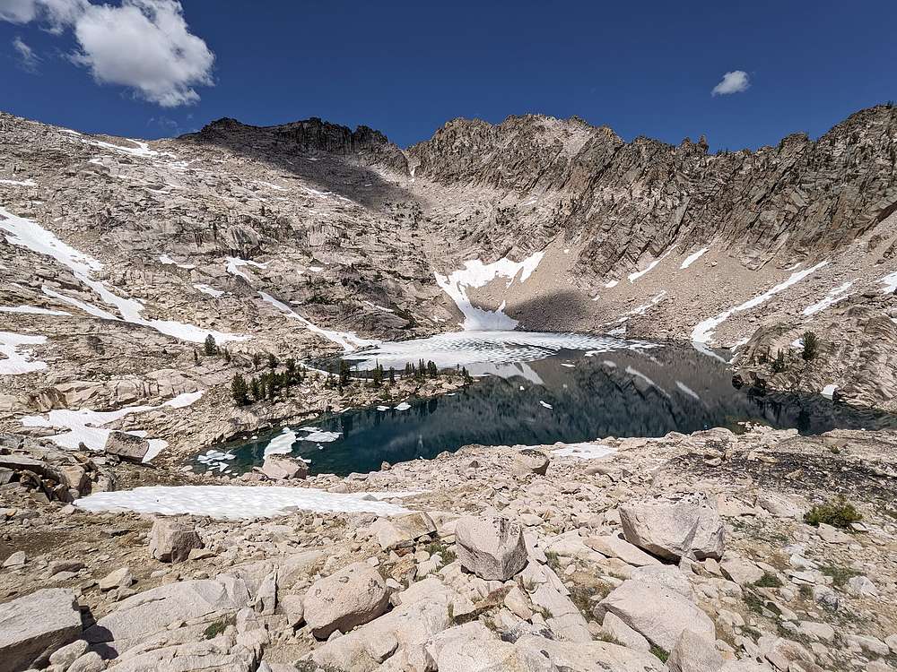
Preston tried some fishing at Profile Lake, while the rest of us marveled at the scenery.
|
|
After a lunch break, me and the younger men decided to head up Mount Cramer. While the older men decided to head back to Imgogene.
|
|
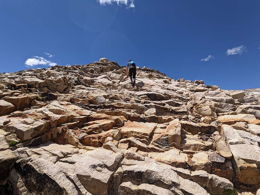
Luke climbing a slabby stair-step section.
|
|
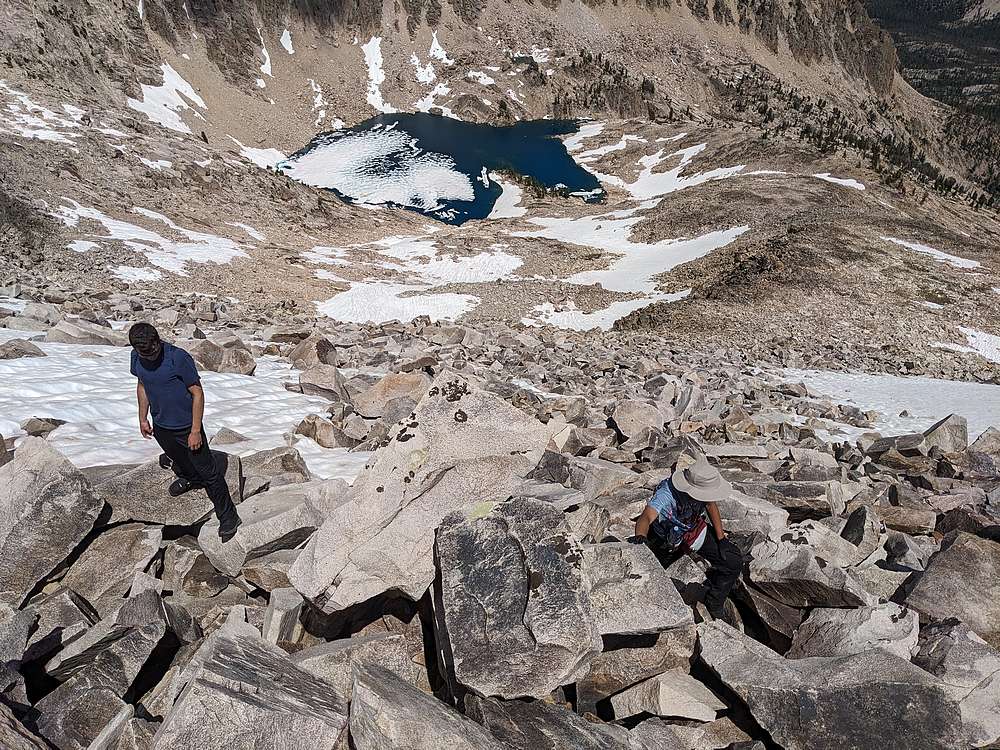
No major obstacles coming up the mountain. The boulder hopping near the top was a little tedious, but we were kept entertained by thousands of orange butterflies flitting round the rocks. Definintely the most butterflies I’d ever seen in one place.
|
|
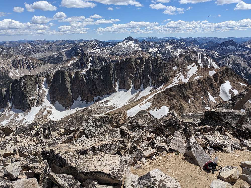
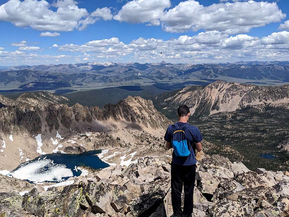
Mount Cramer summit view looking south is dominated by Snowyside Peak.
|
|
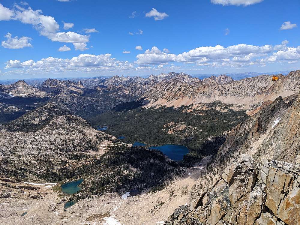
Cramer Lakes to the north from Mount Cramer.
|
|
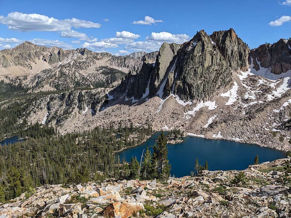
Looking back down toward Profile Lake, White Clouds in the distance.
|
|
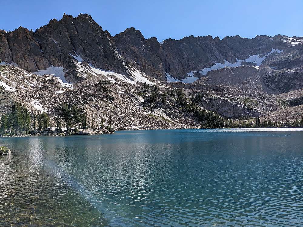
On the decent, we bypassed Profile Lake, and headed toware Lucille Lake.
|
|
We were out of water by the time we reached Lucille, so we stopped there to pump more and have a snack.
|
|
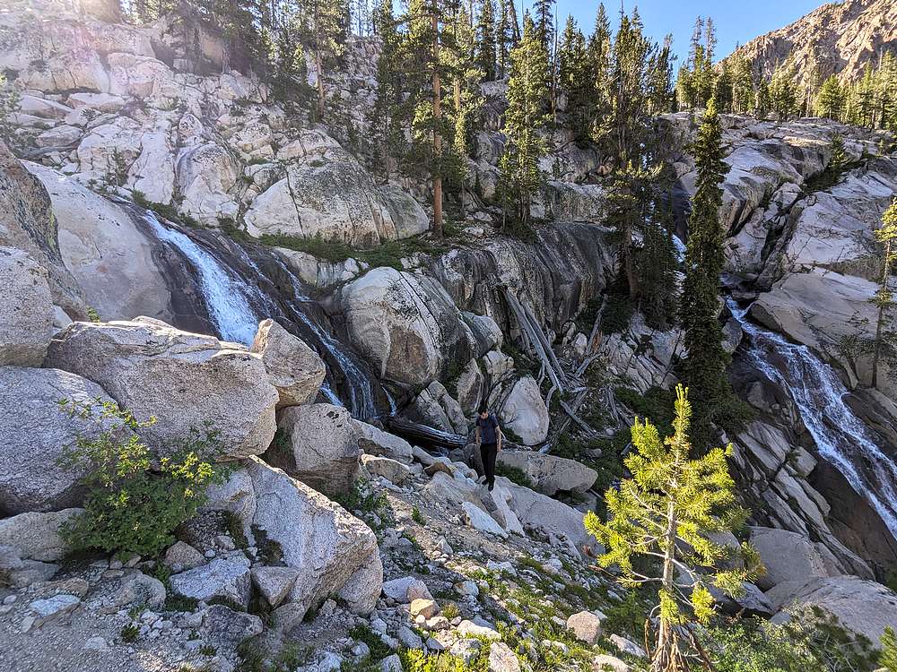
Luke checking out the waterfalls on the way down.
|
|
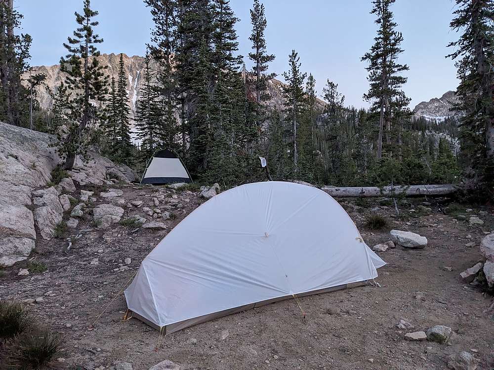
It was good to be back at camp and enjoy some dinner after a long day of hiking.
|
|
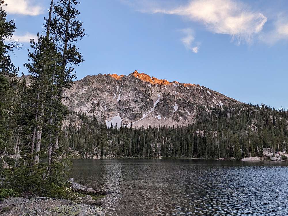
Beautiful evening scene from our island campsite at Imogene Lake.
|
|
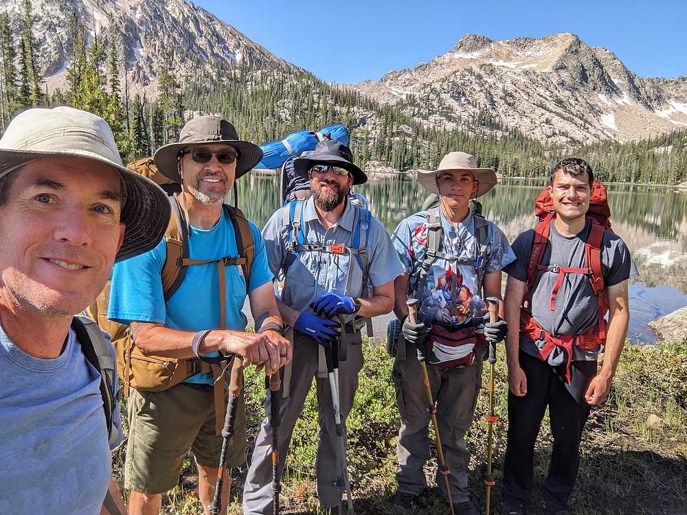
After breaking camp the next morning, it was time to head back. But not before posing for a group shot before leaving Imogene Lake.
|
|
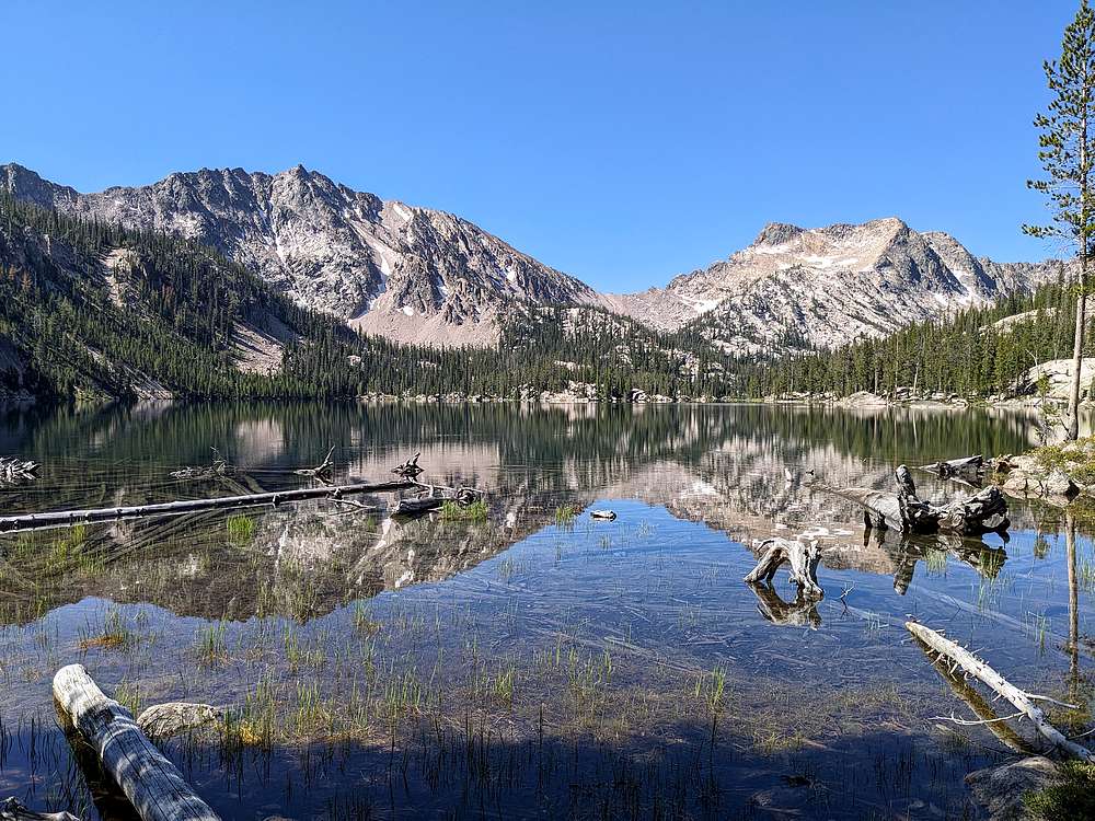
Final view of Imogene Lake.
|
|
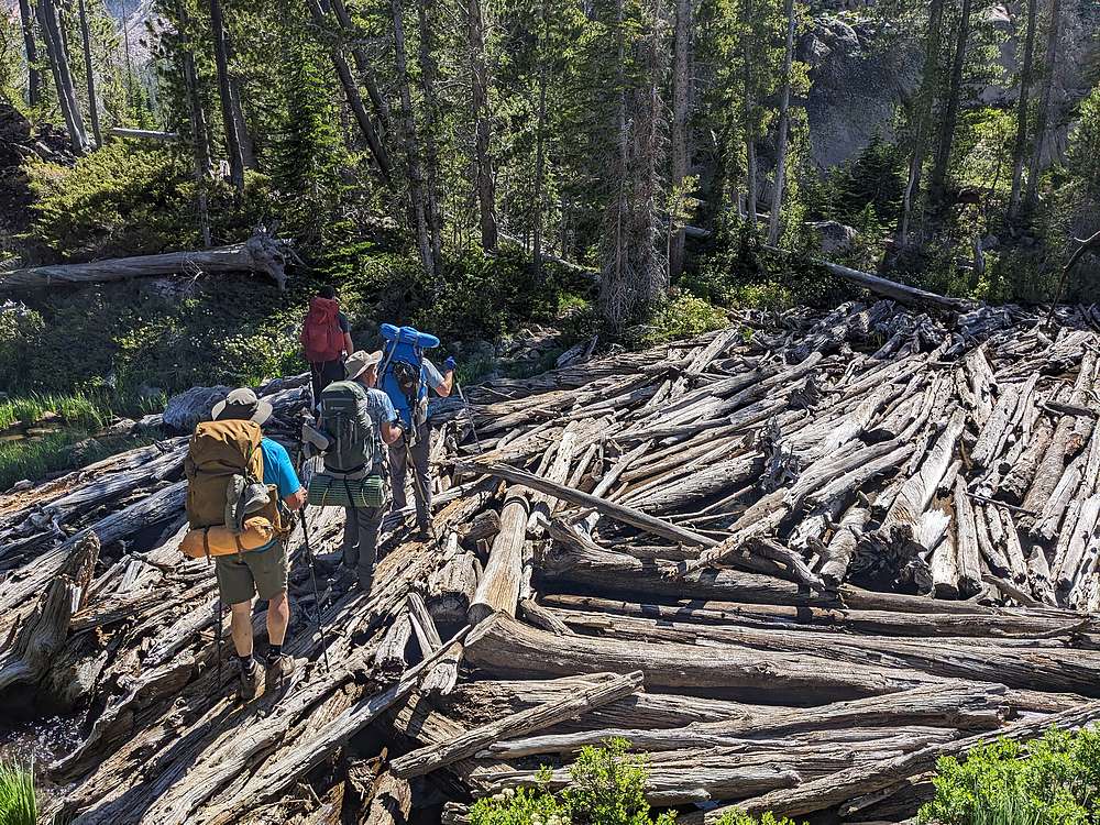
Crossing the log jam on the Imogene Lake outlet.
|
|
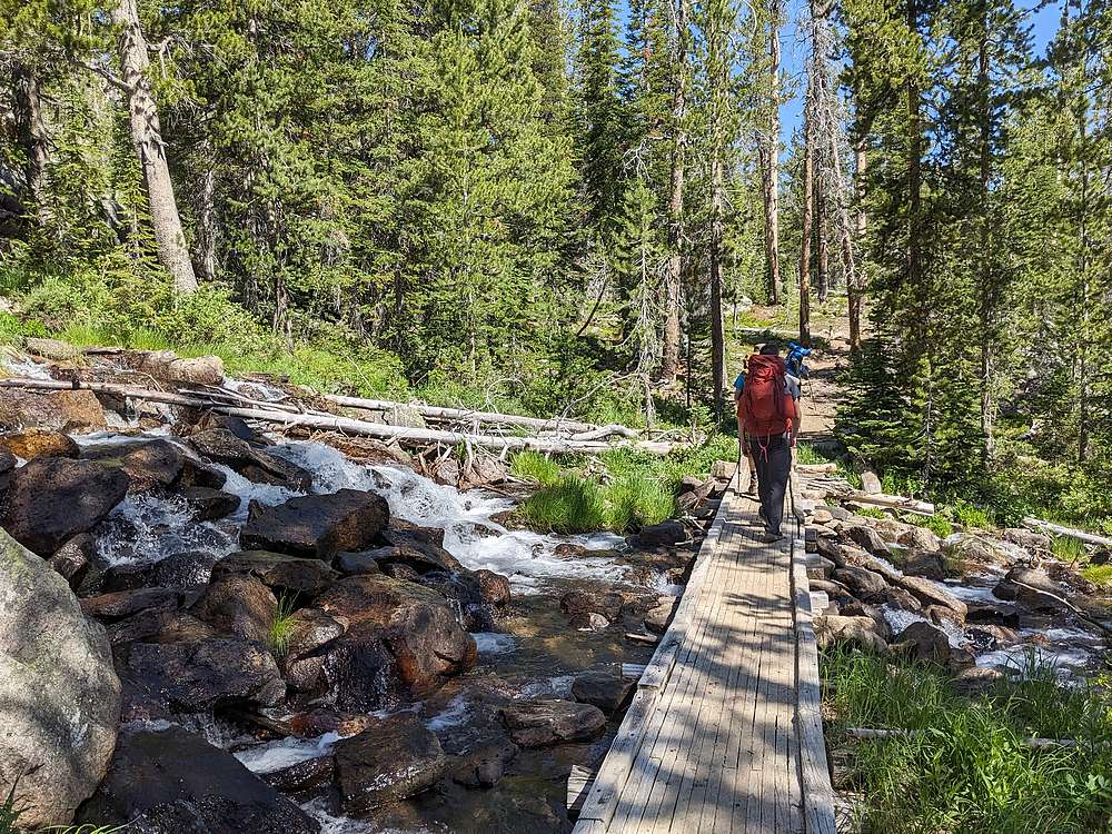
The hike back down was nice, inclding this creek crossing, and another snack break to enjoy Hell Roaring Lake.
|
|
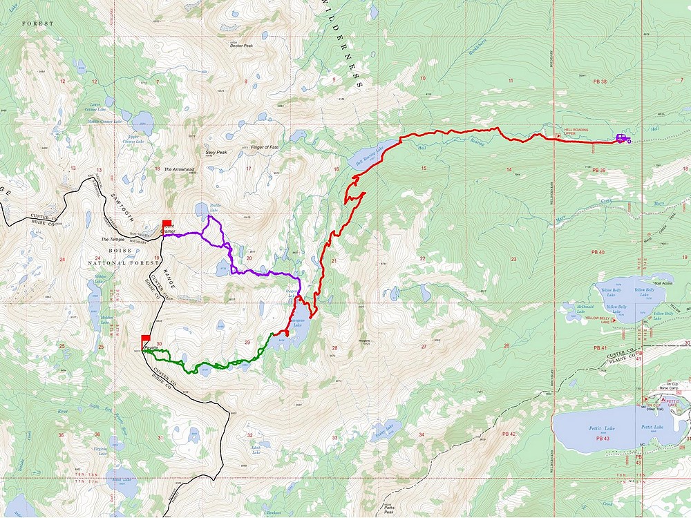
Map of our route. Around 28 miles and 6400' elevation gain round trip. Just under 8 miles each way to our campsite on the island. What a great trip!
|


