|
Glassford Peak
Elevation 11602'
Glassford Peak is a big mountain located in the Bouder Mountains of central Idaho. The striking peak offers up exceptional views, and is visible from Ketchum. It may look tantalizingly close, but it’s a serious endeavor to reach its summit. The most straightforward route is via the North Fork Big Wood River. There is good trail for the first 4 miles, then cross country travel and tedious talus and scree to deal with after that. Climbing Glassford involves a full day, but its worth adding in nearby 11er South Glassford if possible. Plus there are two other 10ers on the ridge within striking distance. This trip report summarizes my day climbing all 4 peaks.
|
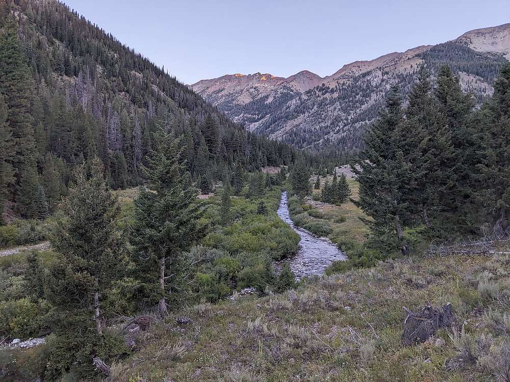
After making the 3 hour drive from Boise the night before, I slept in the back of my truck, and was hiking up the North Fork trail by 6:45am.
|
|
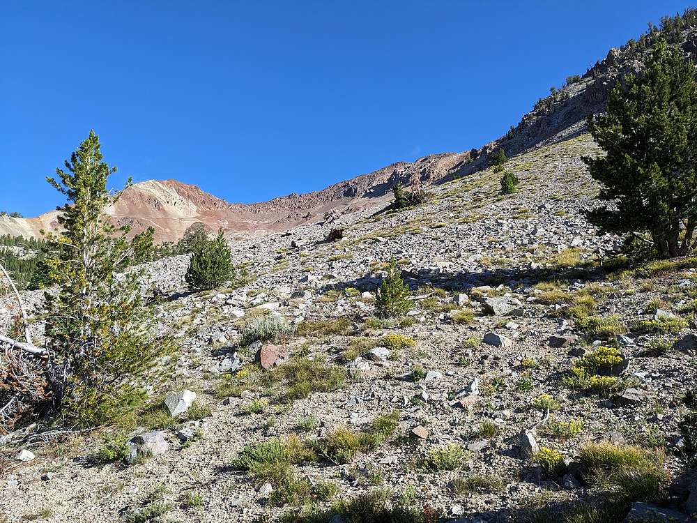
I made good time on the 4 miles of trail, then was able to follow intermittent game trails through the forest, before rising above treeline.
|
|
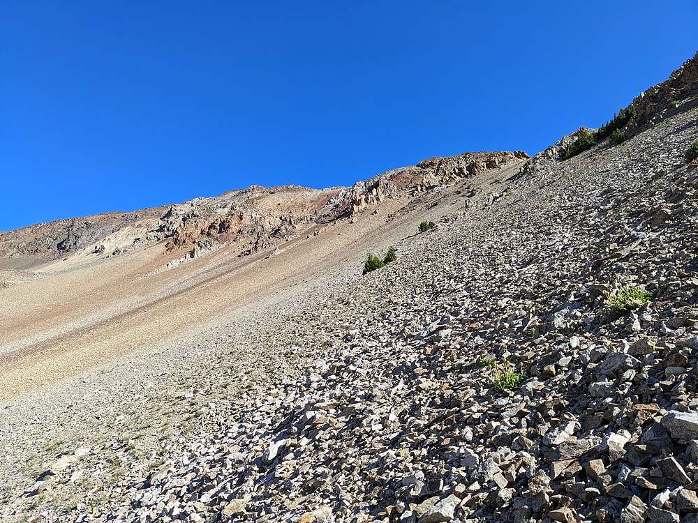
My target was the broad gully south of South Glassford Peak. After traversing talus slopes for awhile, I was able to find a somewhat stable rock rib leading to the ridgeline above.
|
|
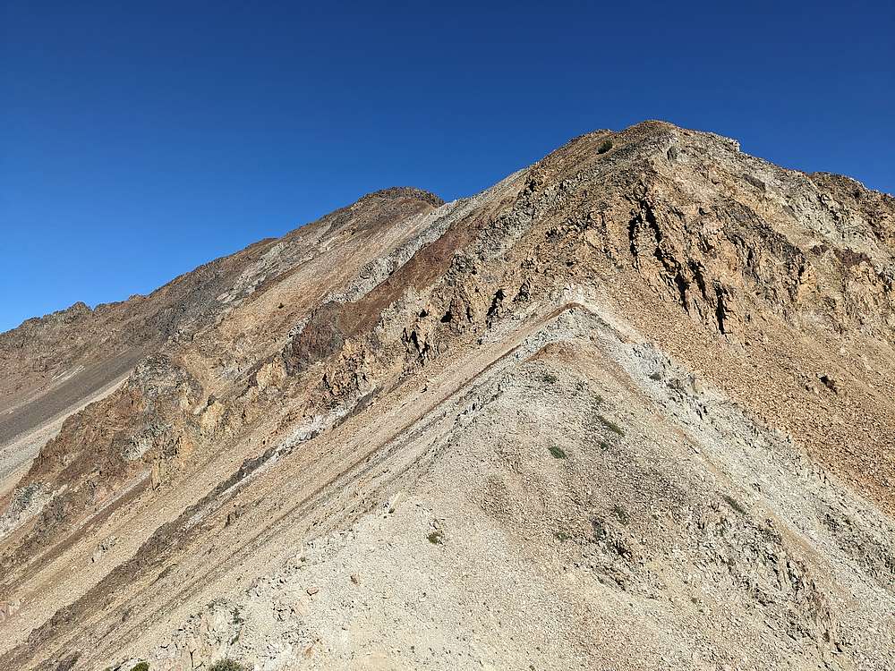
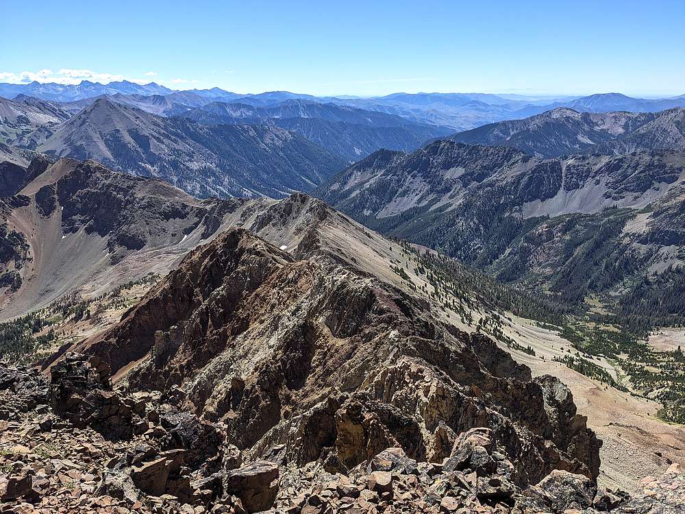
It was good to be off the talus slopes, but I still had some class 3 route finding to contend with on my way up South Glassford's southeast ridge.
|
|
View back of South Glassford's southeast ridge from near the summit.
|
|
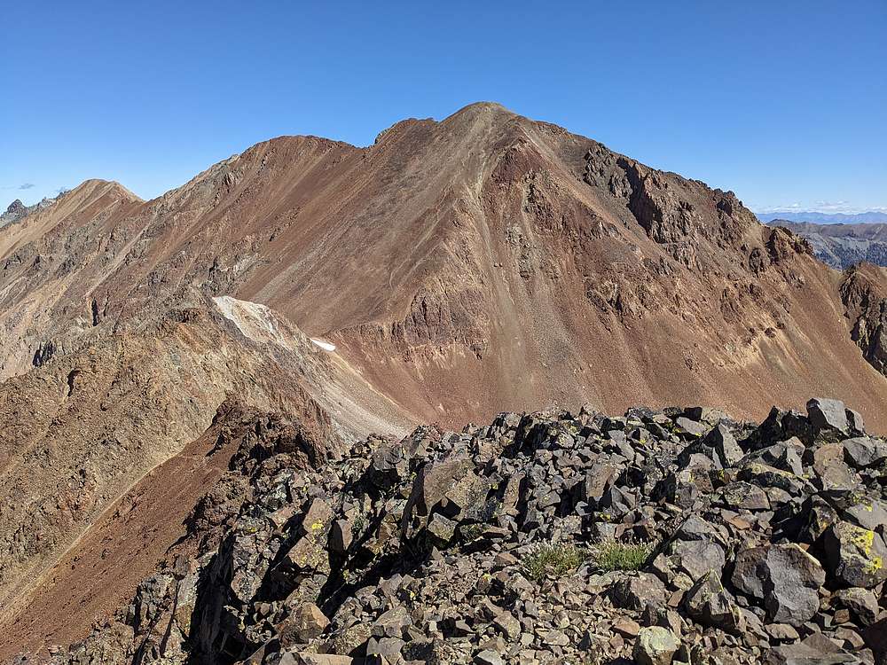
From South Glassford Peak, I had an in your face view of the giant Glassford Peak. After an extended snack break, I would carefully make my way across the connecting ridge to the saddle between the two peaks.
|
|
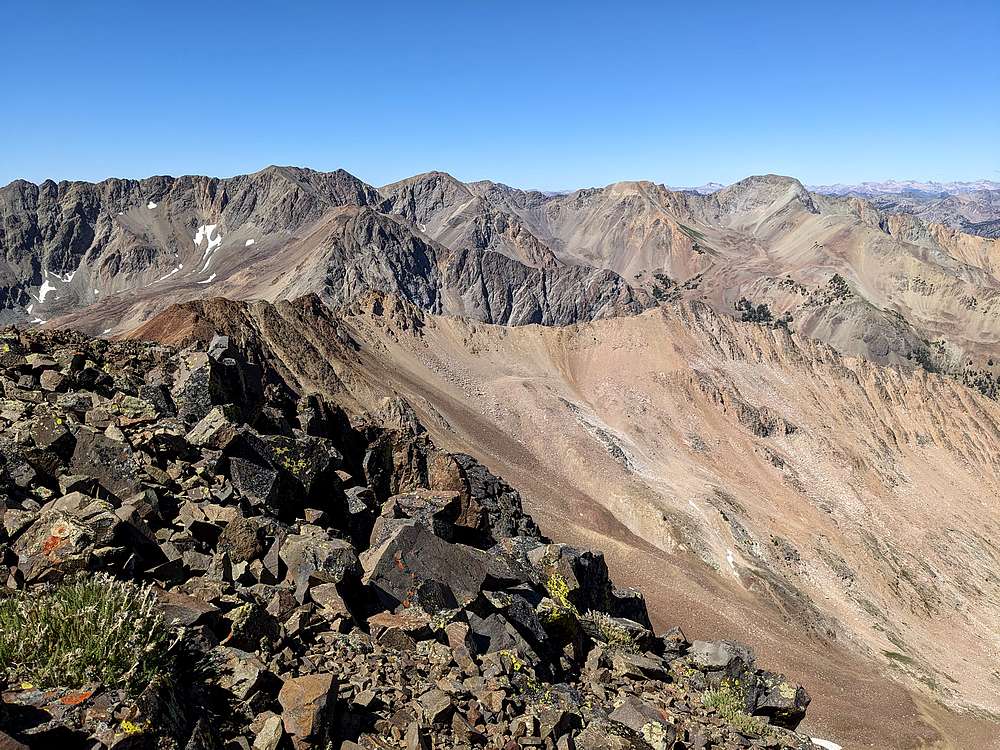
Culmination Peak and Ibex Creek Peak from South Glassford Peak.
|
|
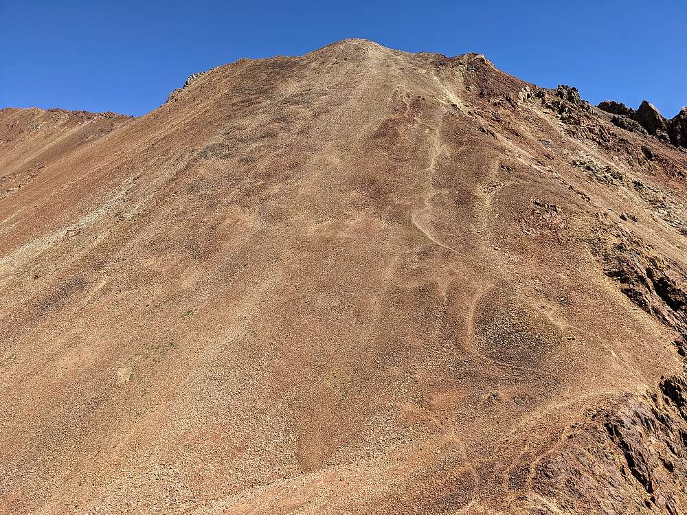
The connecting ridge between the two peaks was tedious, but I cheated to the west side for much of it. Soon enough, it was time to tackle the scree and talus guarding Glassford Peak.
|
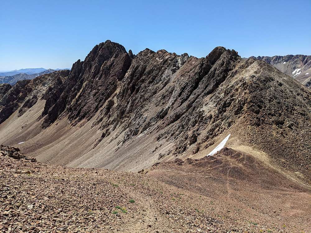
|
Looking back on South Glassford Peak, as I paused for a break heading up Glassford.
|
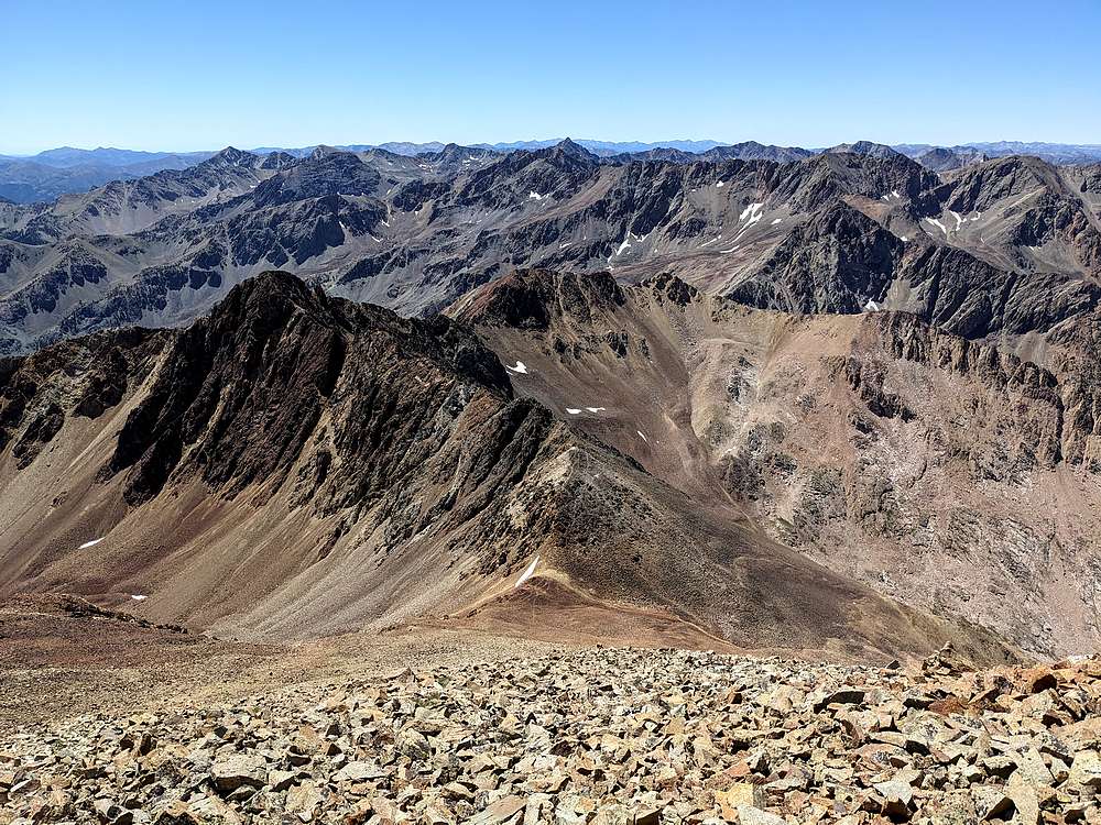
|
Higher up Glassford, the views got more and more impressive.
|
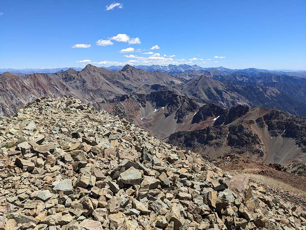
|
Ryan Peak and Kent Peak from the summit of Glassford Peak. They are the two highest peaks in the Boulders, with Glassford ranked number 3.
|
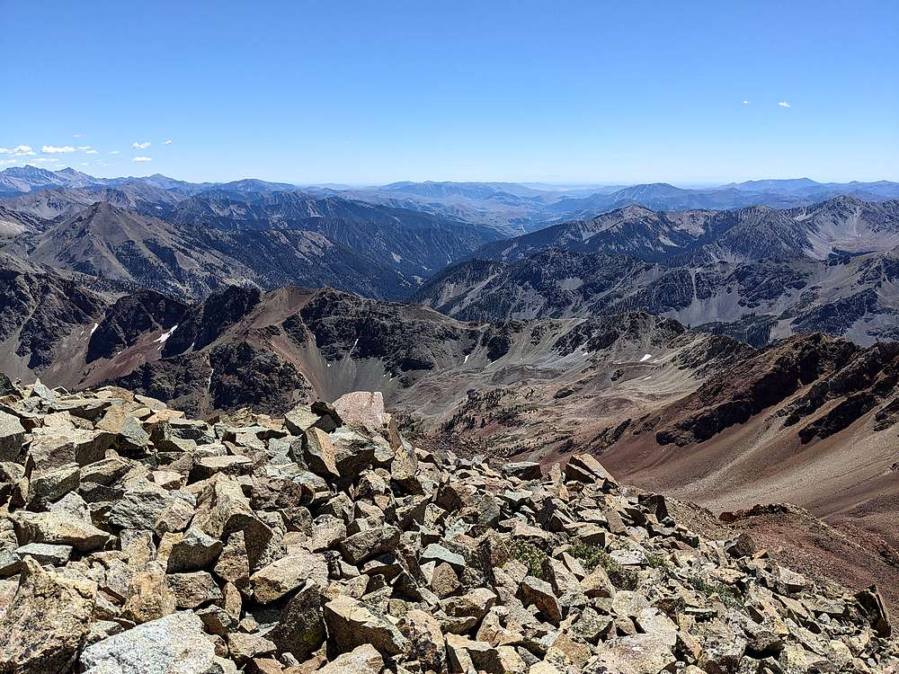
|
Looking down into the Wood River valley from Glassford Peak.
|
|
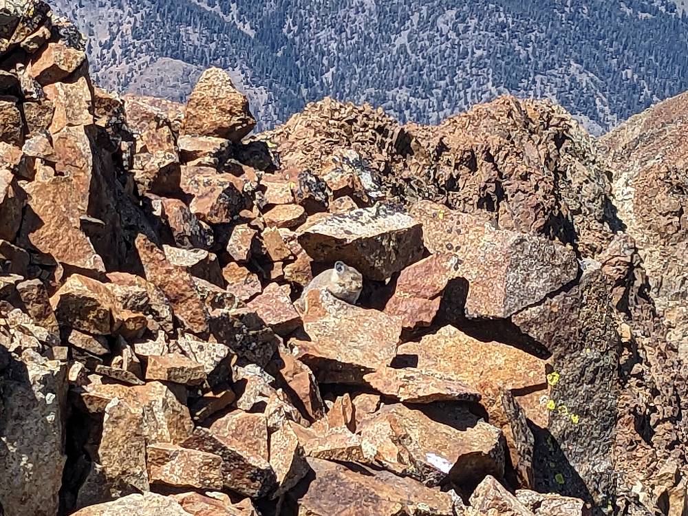
This pika hung out for quite a while as I enjoyed my PB&J on the summit of Glassford Peak.
|
|
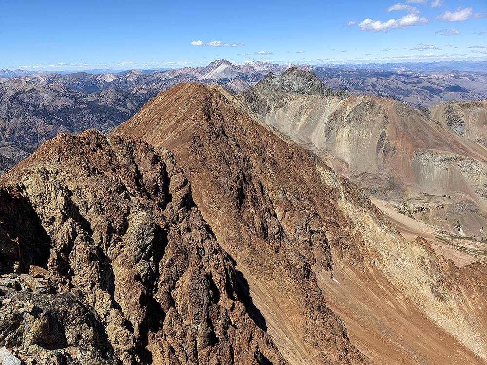
Good view of Roaring Peak (foreground) and Castle Peak (background) from Glassford Peak.
|
|
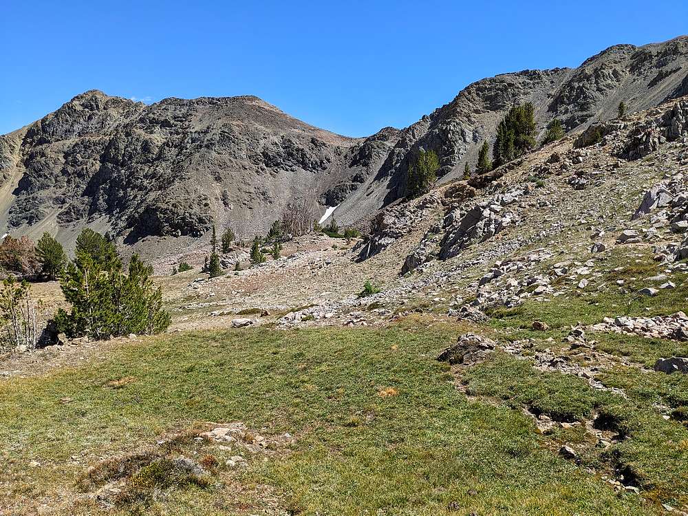
From Glassford, I descended "the standard route" into the basin to the southeast, and prepared to reclimb up and over the saddle above the small snowfield.
|
|
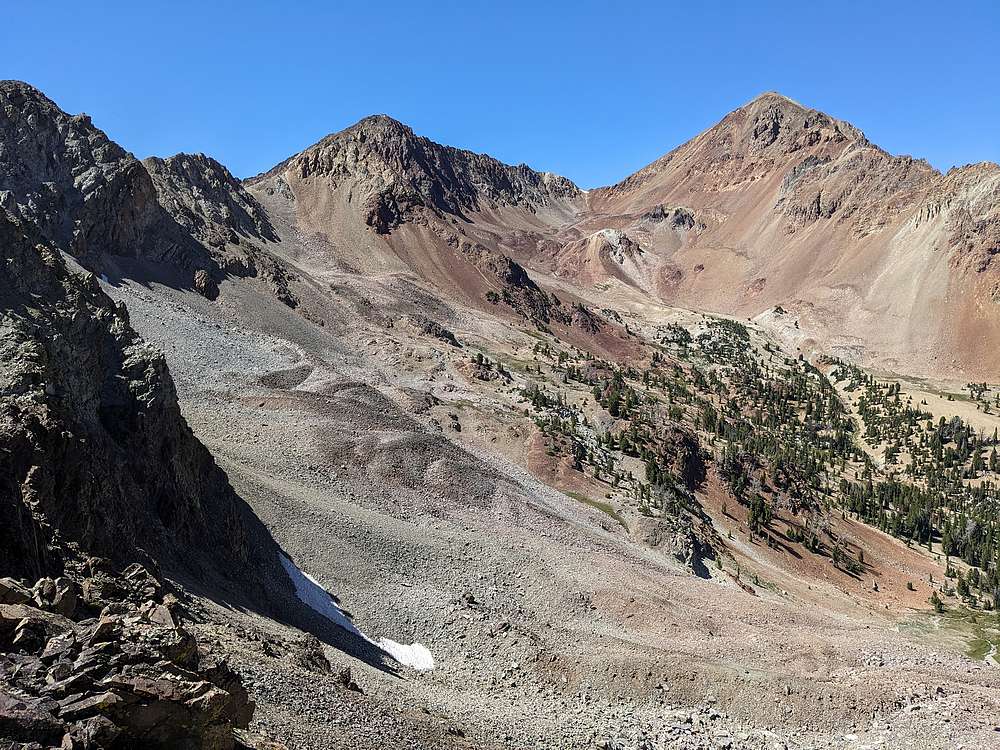
View from saddle looking back on South Glassford and Glassford Peak.
|
|
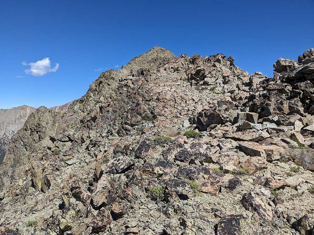
I knew it was going to be a long day regardless, so hadn't decided for sure if I’d be tackling the 10ers on the ridge. But the first one was too close to resist, so I headed east from the saddle up Peak 10450'. (I nicknamed it West Midshipman Peak.)
|
|
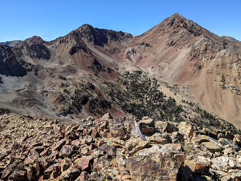
South Glassford and Glassford from "West Midshipman Peak". (Peak 10450')
|
|
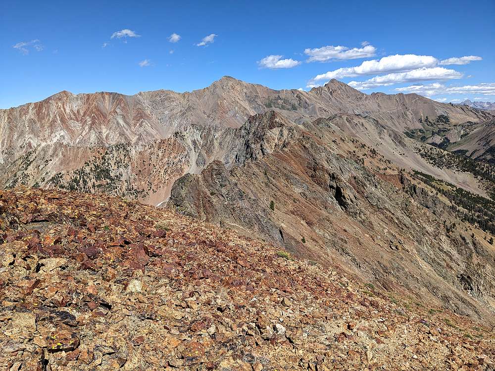
From here, it looked like a lot of ridge to cover to reach the next peak. But I still had a little gas left in the tank, and decided to give it a go.
|
|
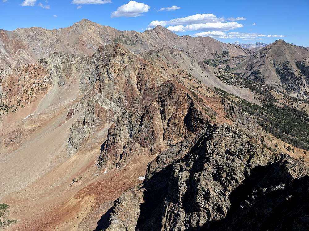
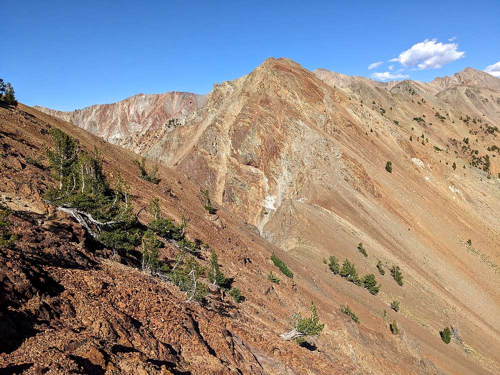
Between fatigue, and loose rock, my progress was slow along the ridge.
|
|
I was glad I was eastbound, not westbound along the ridge, since this loose slope would have been an even bigger pain going the opposite direction. From here, the summit finally seemed within reach.
|
|
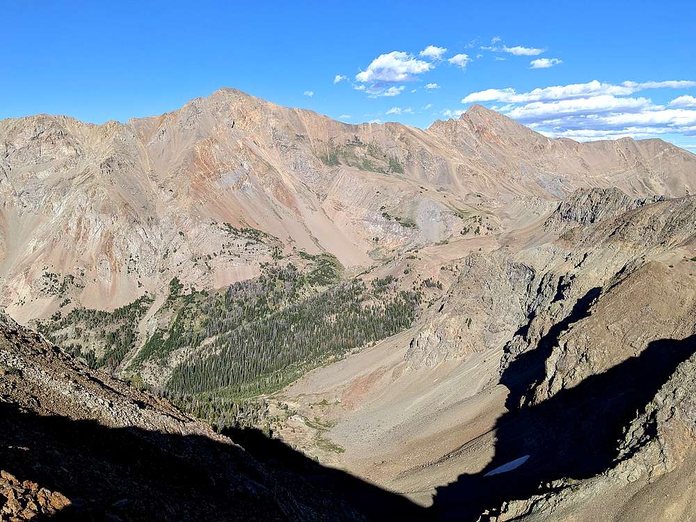
Rick Baugher nicknamed this peak "Midshipman" since it was on the ridge mid-way between Glassford & Ryan Peak. Here are Ryan Peak and Kent Peak from "Midshipman Peak" (Peak 10446').
|
|
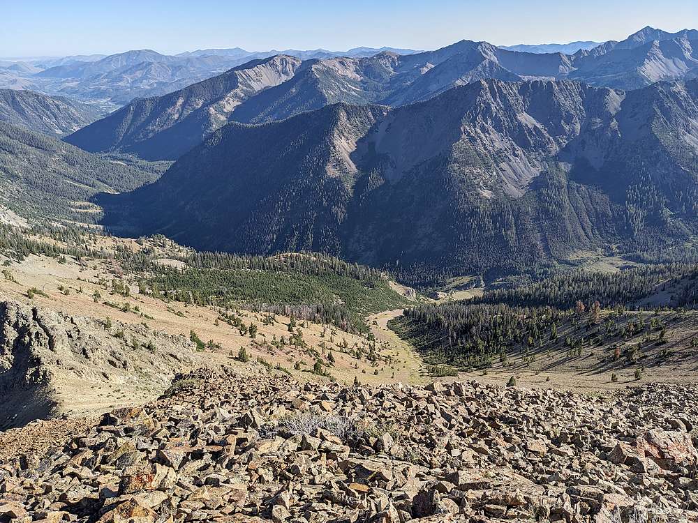
After a snack break, it was time to descend back to the North Fork. It took a long while, but I was able to follow the talus stripe all the way back down to the trail.
|
|
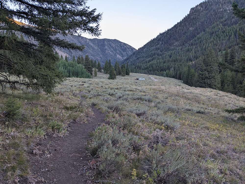
Daylight was fading, and I was pretty whipped by the time I got back to the trailhead.
|
|
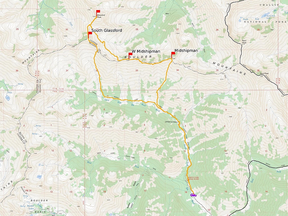
Map of my route. Around 15 miles and 6400' elevation gain round trip, in 13.5 hours of hiking. A long but very satisfying 4-peak day.
|
Related Links
|


