|
Mount Morrison
Elevation 11367'
Mount Morrison is a complex 11er located in eastern Idaho’s Lost River Range. Set off of the main crest of the range to the southwest, Morrison is the highpoint of the ridge that extends from Mount Idaho, and divides Elkhorn Creek from Cedar Creek. (One of about 11 Cedar Creeks in the range!) Climbers should bring their route-finding skills when tackling this peak and its collection of ridges, ribs, gullies, and cliffs. All of which are home to abundant loose limestone rock. Several different routes have been climbed on this peak. This particular report covers a climb of the “south rib route”.
|
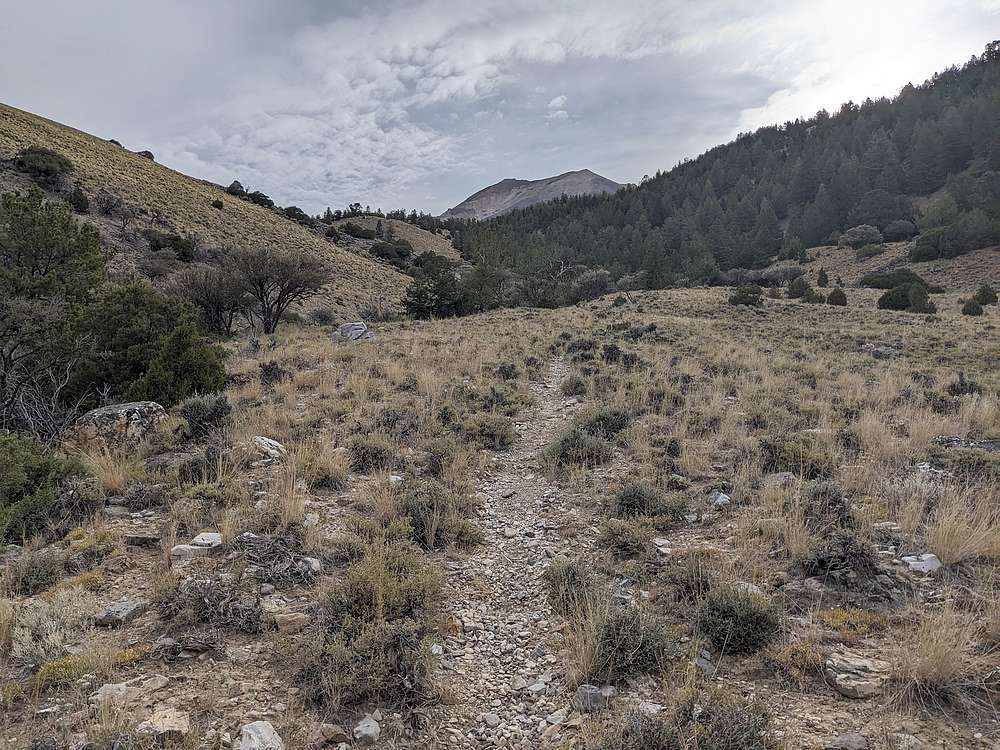
I chose to approach Morrison from Elkhorn Creek, and take advantage of a pretty good trail for the first mile and a half or so.
|
|
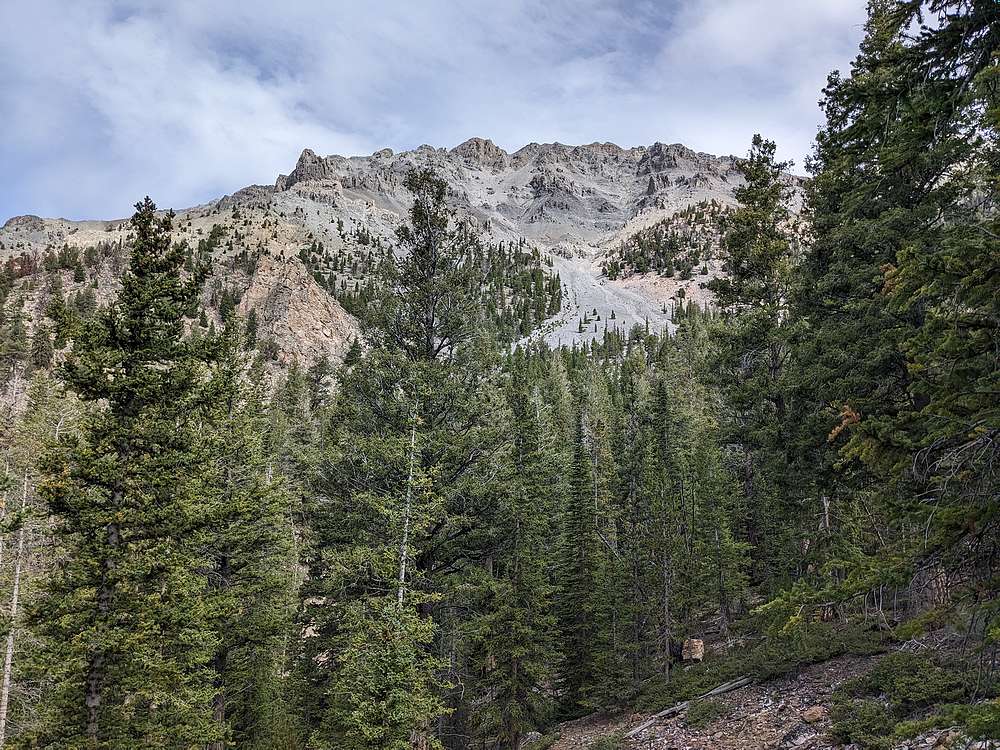
After a couple miles of hiking, I had this good view of Morrison from the south. The Baugher route goes up the prominent talus field and gully. I ended up climbing the forested slopes to the right of the gully. Some folks use the lower section to access Mount Idaho, so there were occasional climbers trails to follow.
|
|
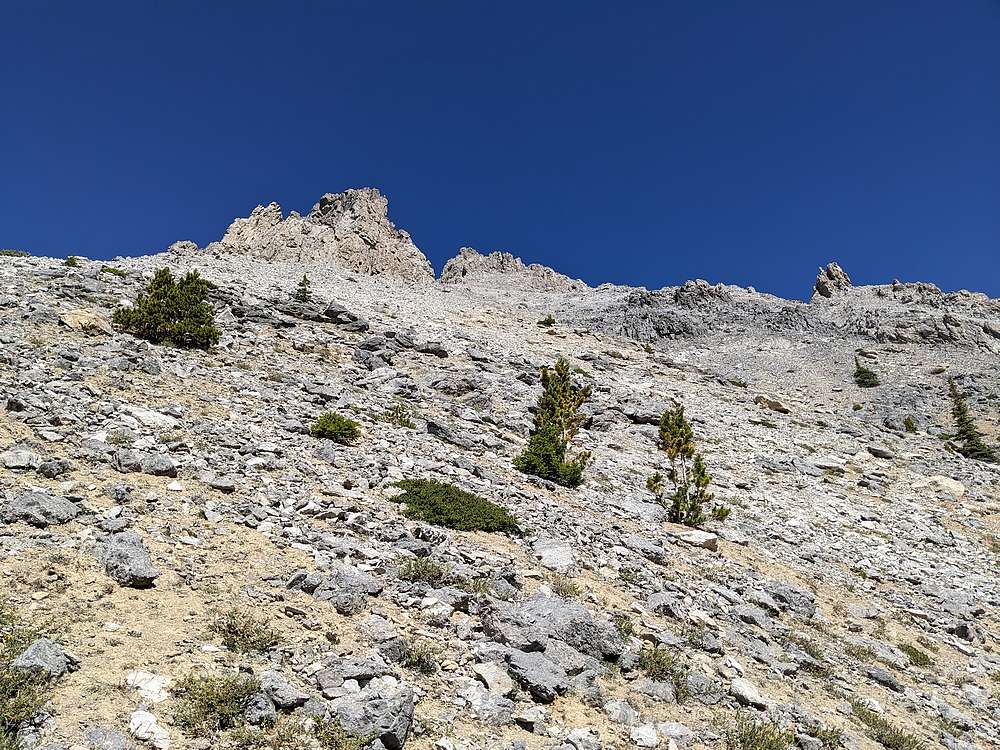
My plan had been to head for the saddle on Morrison's west ridge, but seemingly easier terrain kept pulling me gradually west of the saddle. Now above treeline, I would call this the base of the south rib route.
|
|
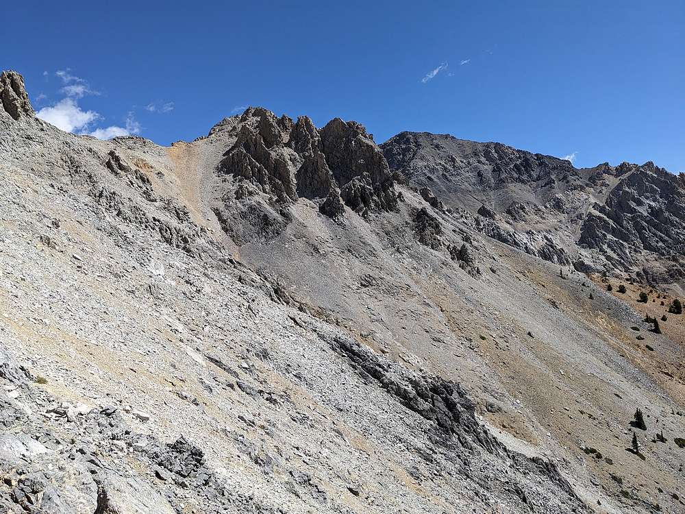
View of Mount Idaho to the east. I am now some distance west from the "brown saddle" on the ridge, which was my original planned target.
|
|
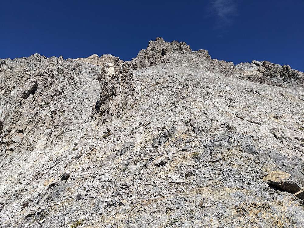
At this point it wasn't obvious if my line was going to work, with crumbly cliff bands guarding the way up. But I decided to keep heading up, and figured I could contour back to the east if necessary.
|
|
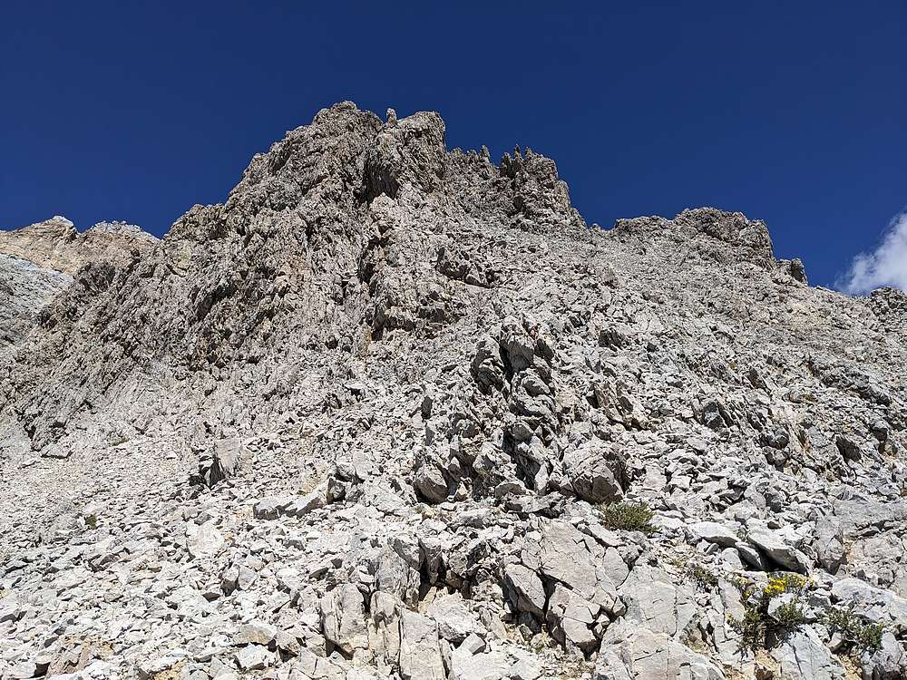
More tricky terrain as I ascended. But I just kept picking my way up.
|
|
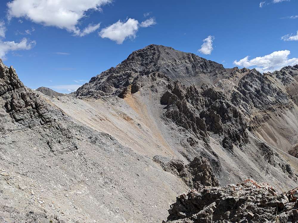
I was now even elevation with the "brown saddle" and a good view of Mount Idaho.
|
|
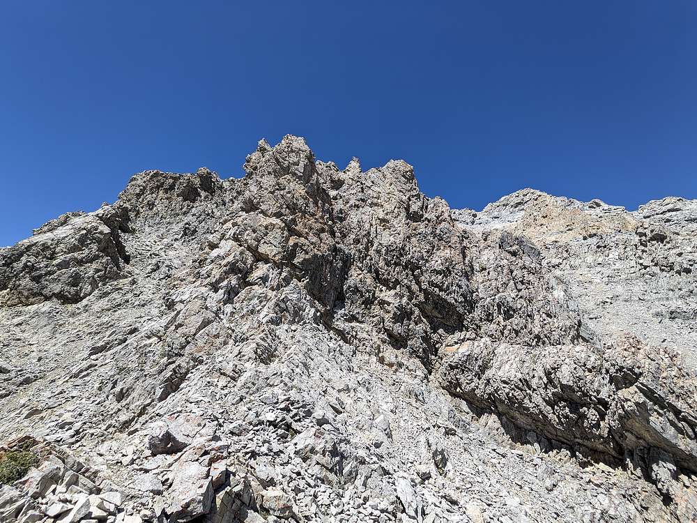
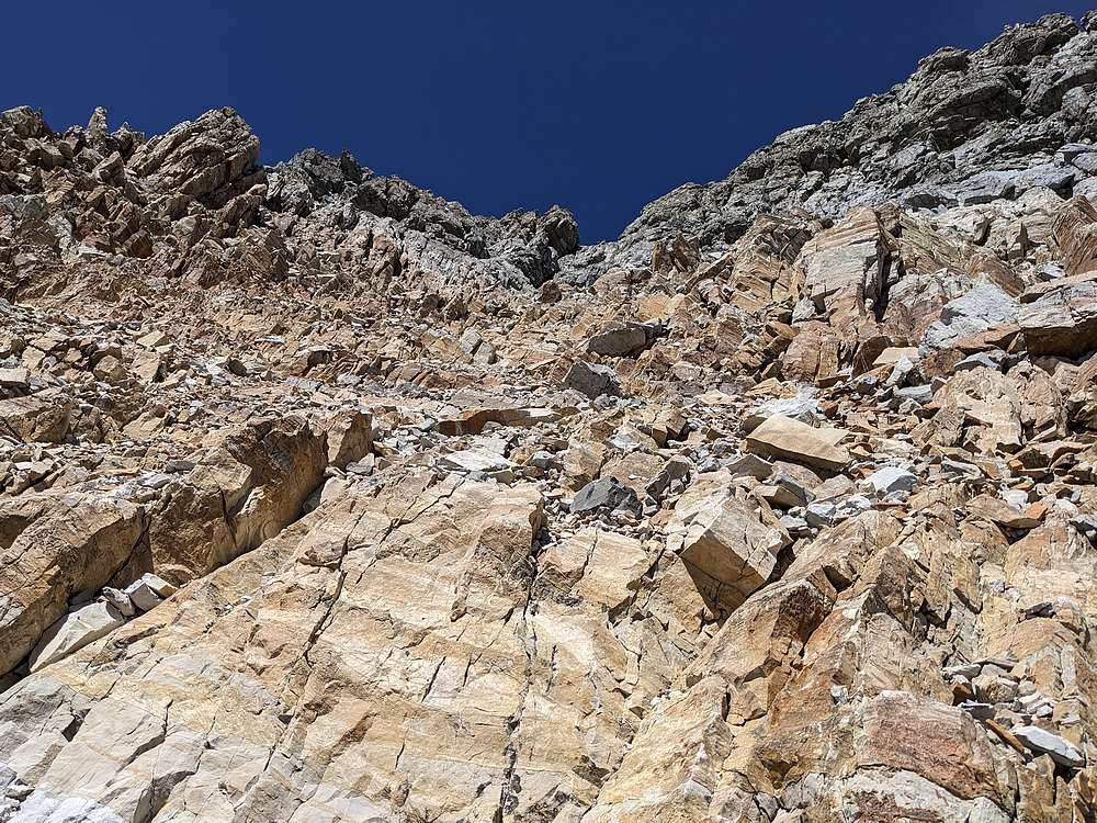
This section looks worse than it is. I found a way to the left, then hung a right up a gully with some rock that was nearly stable. But above this section was looking like a dead end.
|
|
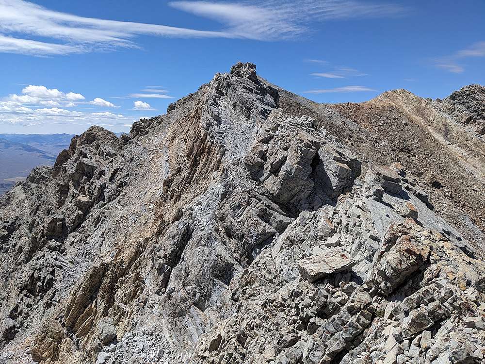
Before descending for what looked like it would be a painful sidehill traverse over to the brown saddle, I decided to get a closer look at the cliffy section. To my surprise, it wasn't quite as bad as it looked from a distance, and I was able to follow this blocky section up to gain the ridgeline above.
|
|
Still some work to do once on the ridge, but I was relieved to be past the cliffy section.
|
|
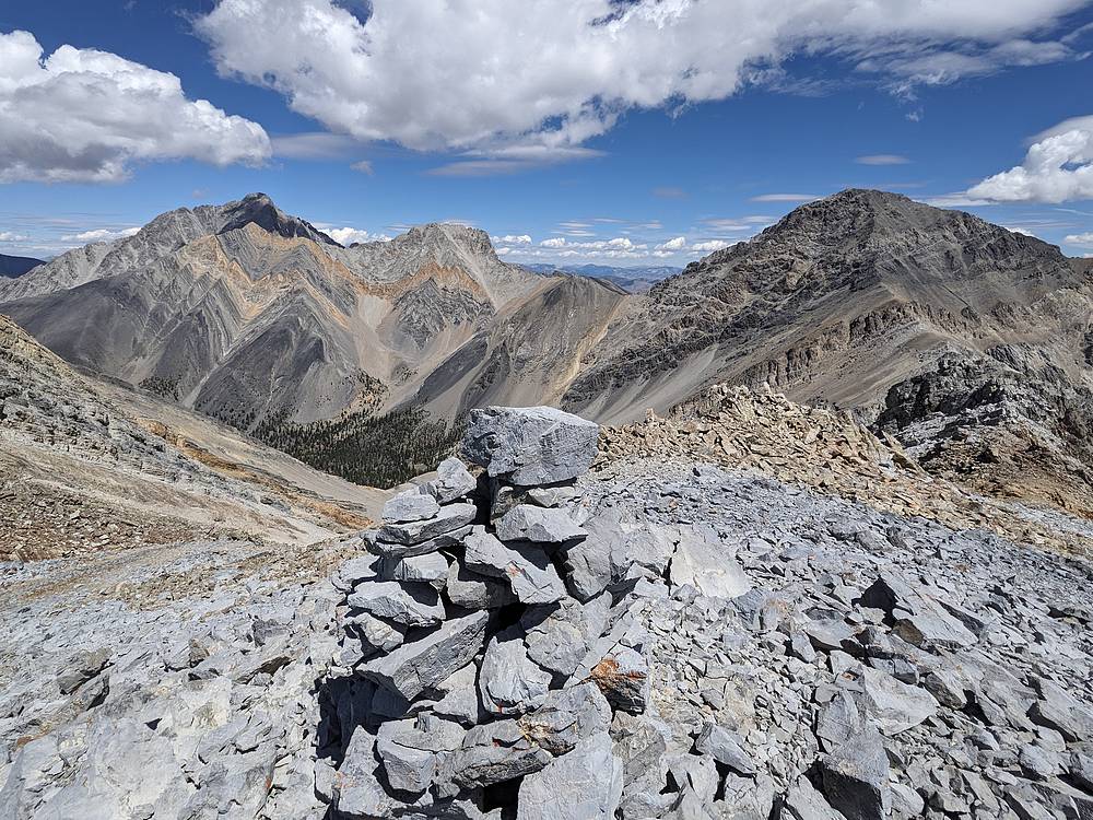
A few careful moves along the ridge, then an easier finale, and I arrived at the summit! Here's a view of Borah, Sacajawea, and Mount Idaho.
|
|
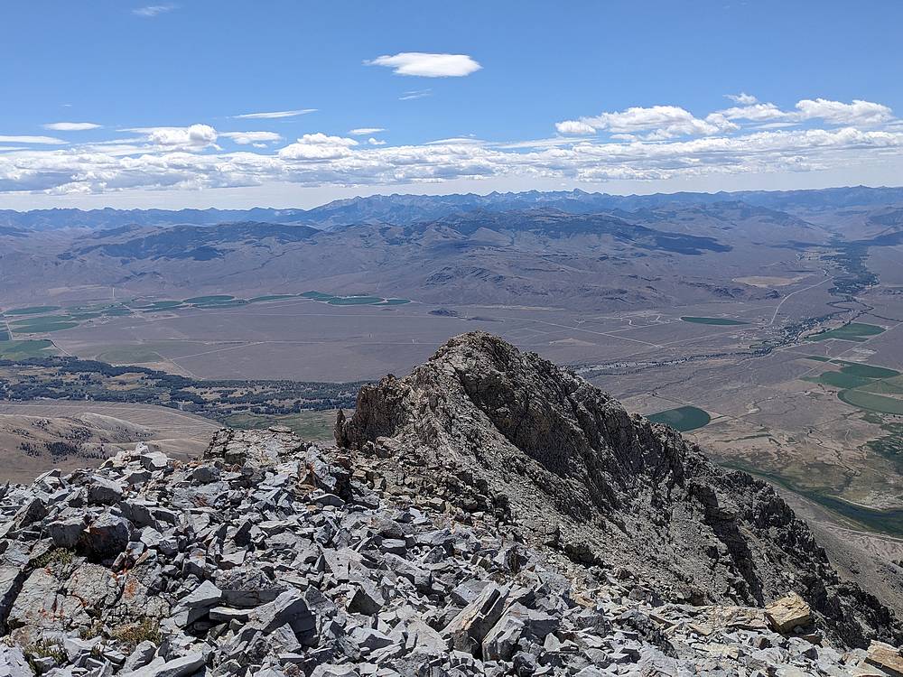
The White Knob range from the summit of Mount Morrison.
|
|
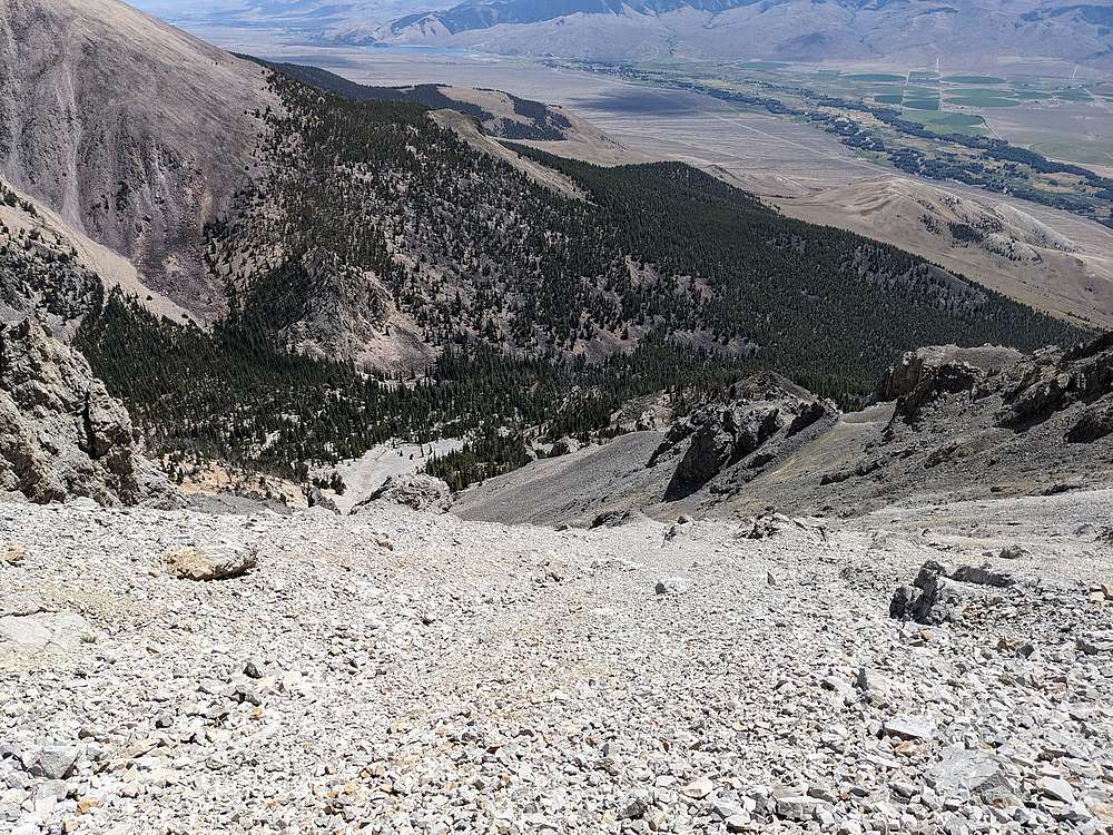
Now it was time to ascend. I knew I didn’t want to retrace my steps! After reading some entries in the summit log, I decided to head down Baugher's south gully route.
|
|
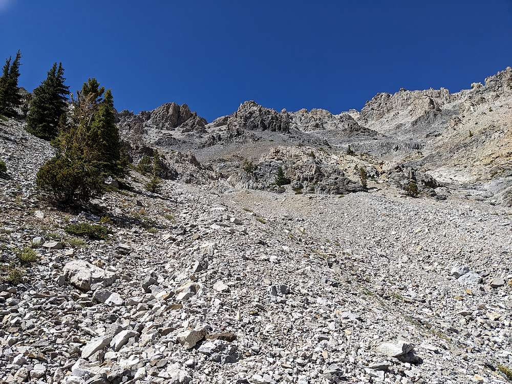
I don’t think the gully would be much fun to climb, but it wasn't a bad descent route. A little scree skiing up top, then plentiful talus teetering down low.
|
|
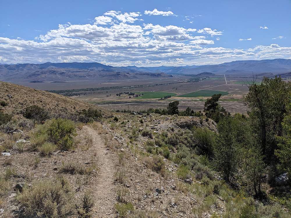
Once down in the valley, it felt good to be off the talus, and back on the trail, for the last 2 miles back to the trailhead.
|
|
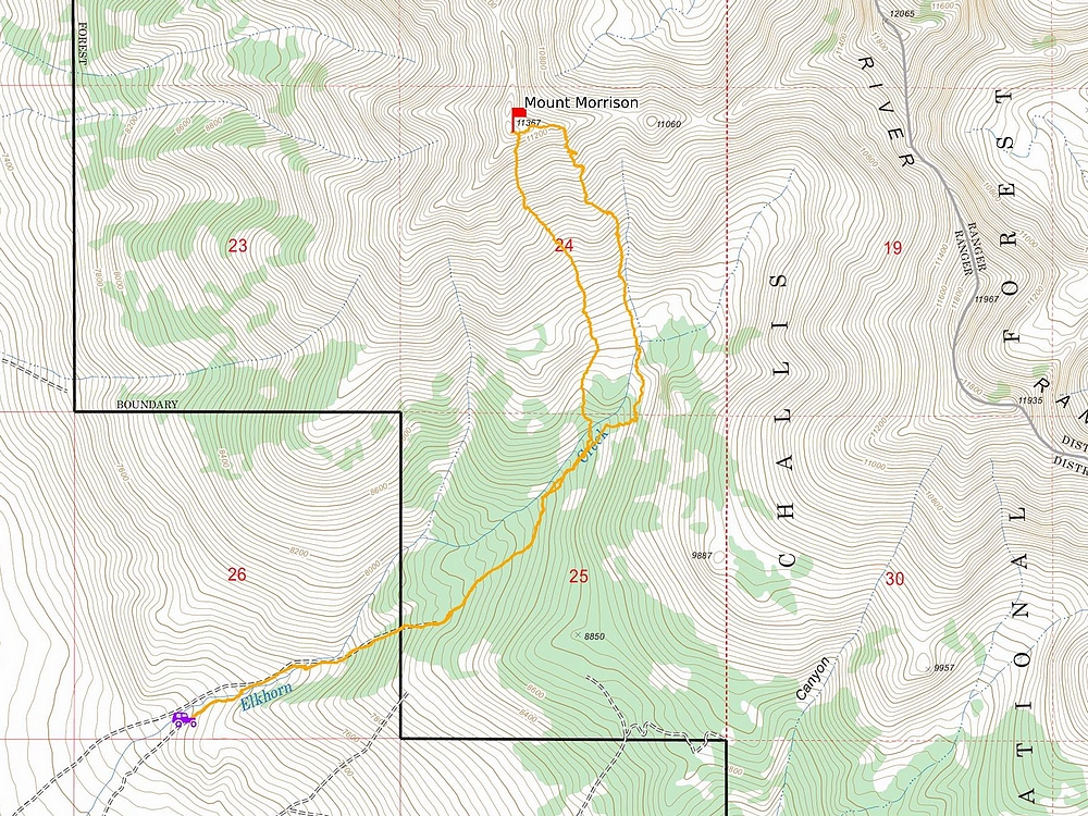
Map of my route. Around 6.5 miles and 4400' elevation gain round trip, in 8 hours of hiking. A great adventure up an unplanned route.
|
Related Links
|


