|
Eighteenmile Creek 4 Peak Loop
Eighteenmile Creek is located in the Beaverhead mountains of east central Idaho. The headwaters of the creek end in a beautiful valley, just west of the Continental Divide, which is the border with Montana. There are four peaks surrounding the valley, including 11ers Cottonwood Benchmark, and Eighteenmile Peak. This report covers my loop hike connecting the four peaks.
|
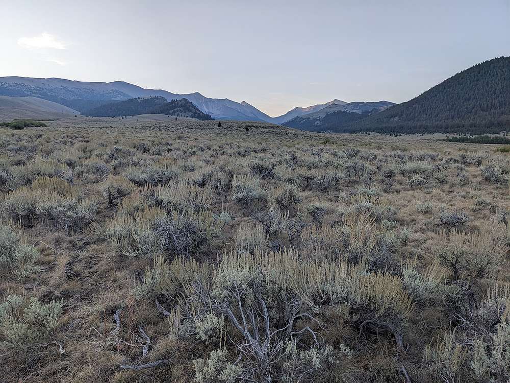
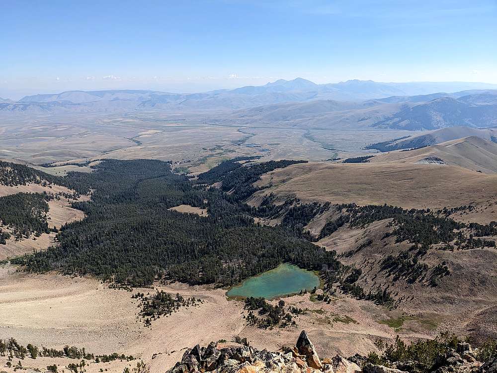
When I pulled into the trailhead late Friday night, there were 8 other vehicles there! Turns out Saturday was opening day of bow hunting season… No worries, I planned to be up on the ridges. Up at first light, I decided to make a big clockwise loop. Here’s an early view looking southeast toward the pass at the head of the valley.
|
|
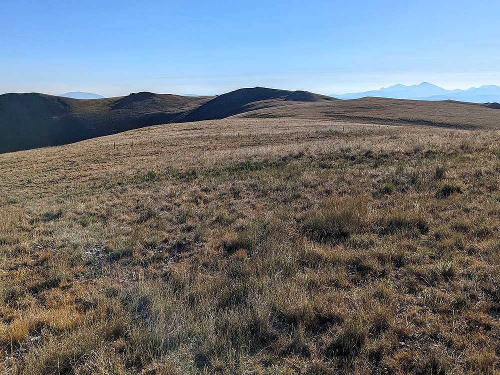
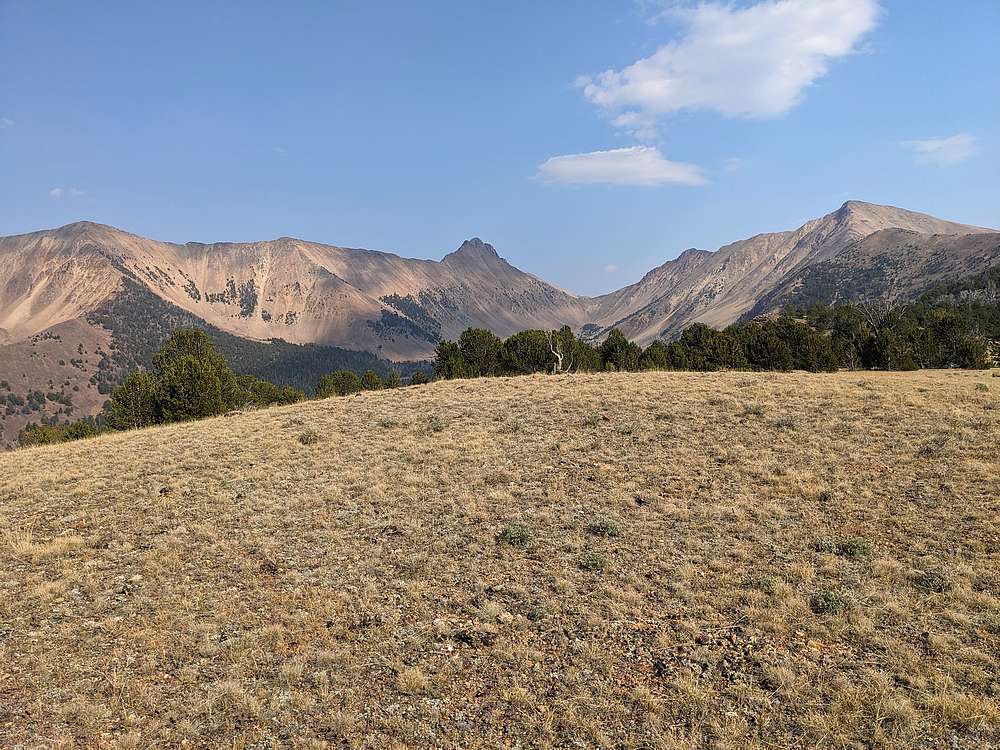
After crossing the north side of the valley, I headed up the slopes, and then followed the gentle ridgetop to the first peak of the day, Peak 9911', shown in the center of this photo. It was nicknamed Scimitar Hill by Rick Baugher based on a resemblance to a sword by the same name.
|
|
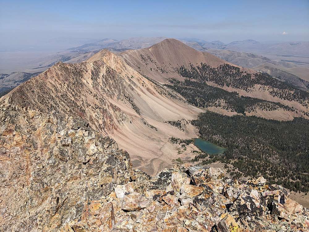
Great open views from Scimitar Hill, including this one looking south toward Cottonwood Benchmark.
|
|
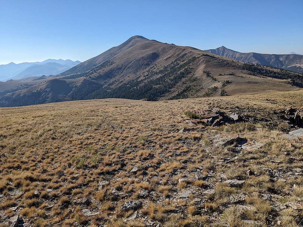
Next up, I headed southeast along the ridge toward Cottonwood Benchmark. Open slopes with great views.
|
|
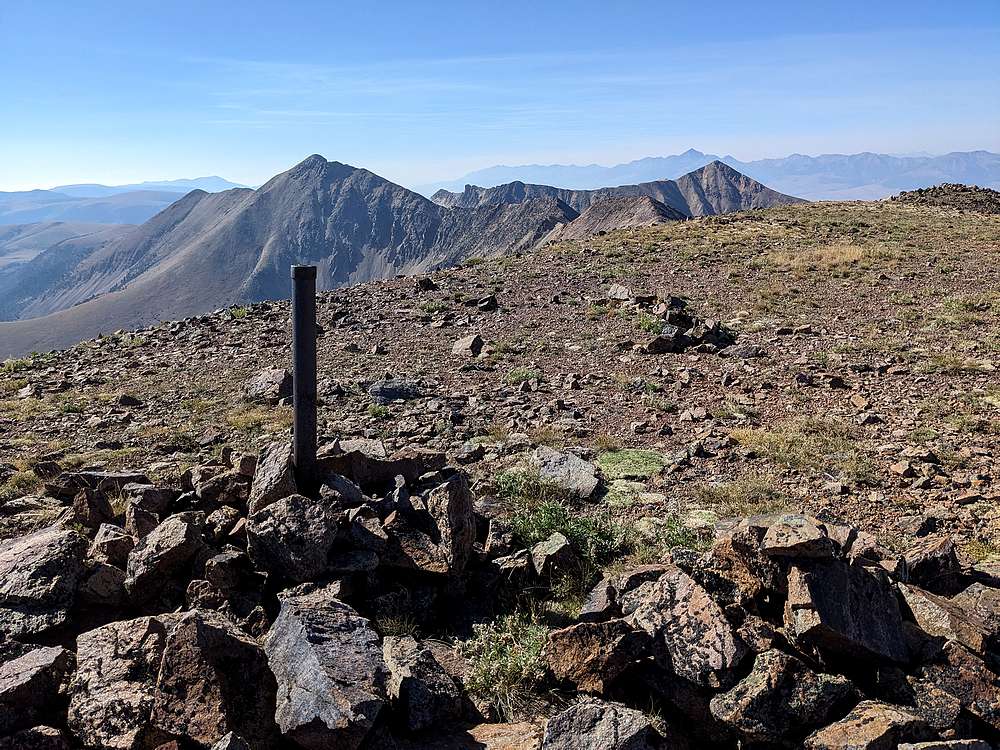
Benchmark on the summit of Cottonwood. Eighteenmile Peak and Jump Peak visible to the south.
|
|
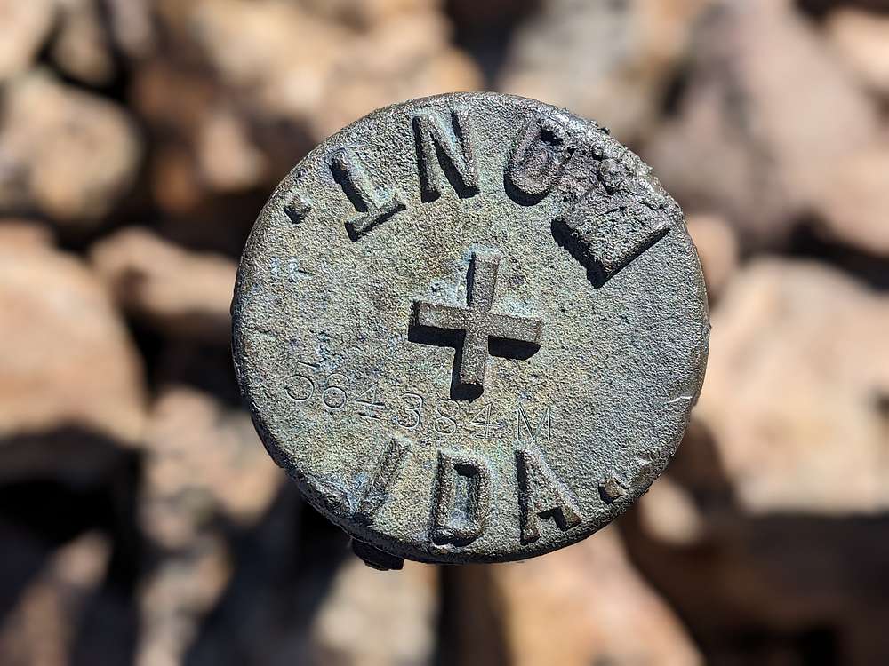
Since the Continental Divide follows this ridge, there were various markers along the way.
|
|
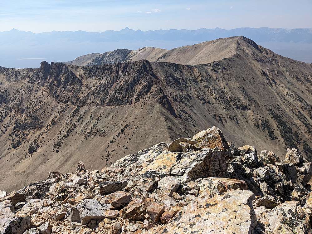
From Cottonwood, I continued south along the ridge. Here’s a view back toward Cottonwood.
|
|
The ridge to the north looked more interesting…
|
|
View east into Montana and Harkness Lakes.
|
|
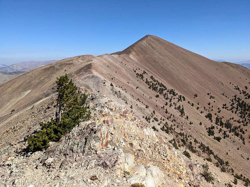
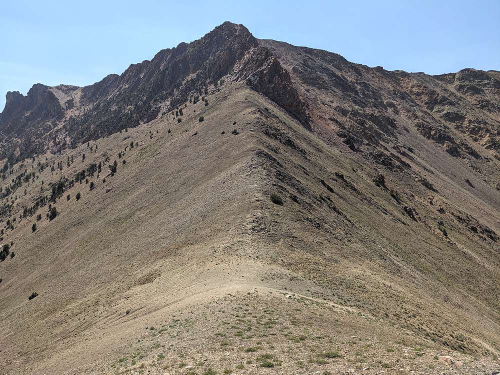
As I got closer to Eighteenmile Peak, I was getting a better looks at the north ridge. I’d read varying reports of how difficult it would be.
|
|
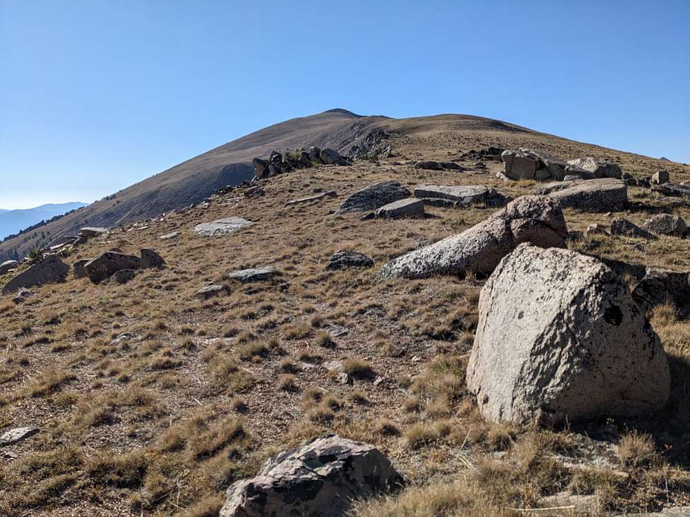
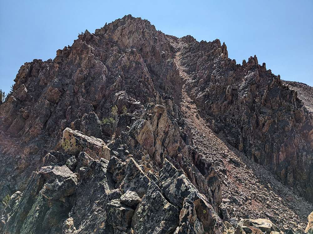
Just below the summit block, the ridge looked rugged and exposed. But I found an easy path the west side of the ridge instead.
|
|
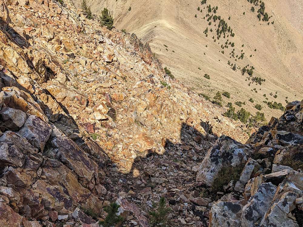
Then I scrambled up this fun gully on stable rock, which took me almost directly to the summit.
|
|
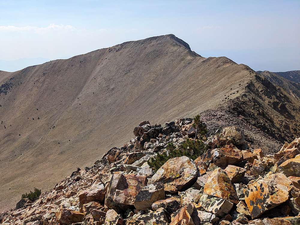
Summit view from Eighteenmile Peak looking north at Cottonwood Benchmark.
|
|
Next up would be Jump Peak, to the west. But first it was time for a lunch break. After which I headed down the same gully, and then descended intermittently loose talus down to the saddle.
|
|
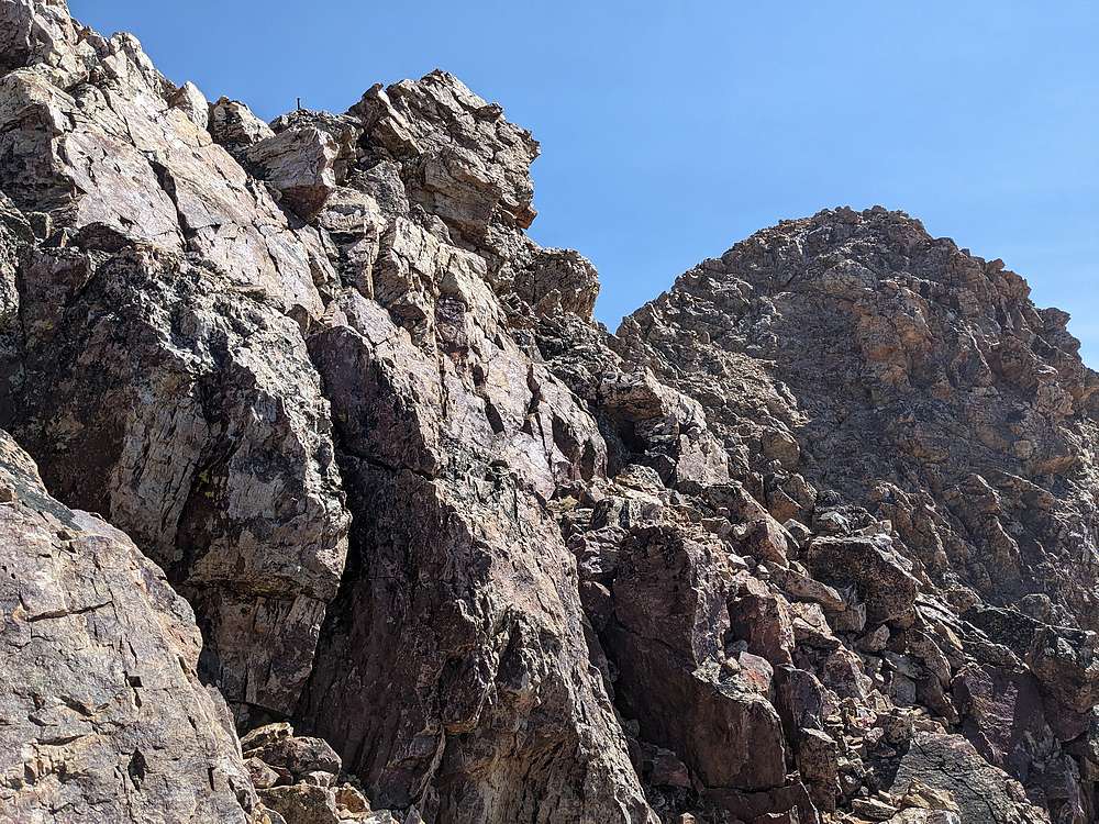
The second crux of the day was visible ahead, beyond the saddle. With cliffs guarding the ridge, the best route wasn't obvious.
|
|
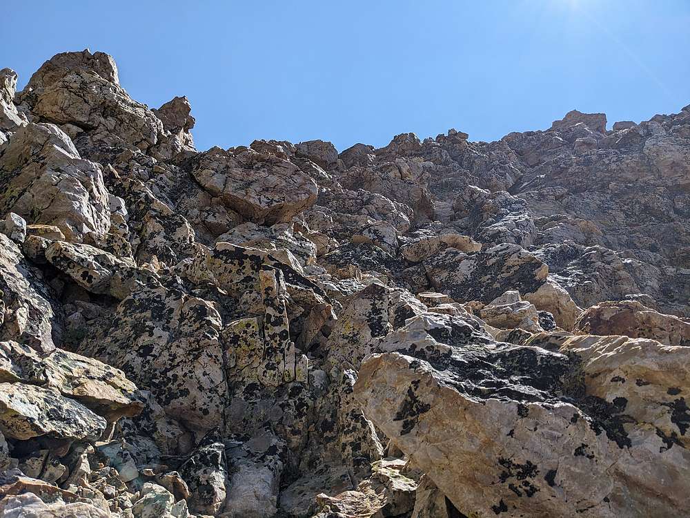
From the saddle, I climbed to the base of the cliffs, then angled slightly left (southeast), before heading up this somewhat steep but stable gully.
|
|
The gully topped out on this blocky ridge. The ridge wasn't as challenging as this photo makes it look. I just followed the ridge, then angled left before reaching Point 10751'.
|
|
From the point, all that was left was a long walk to the summit of Jump Peak.
|
|
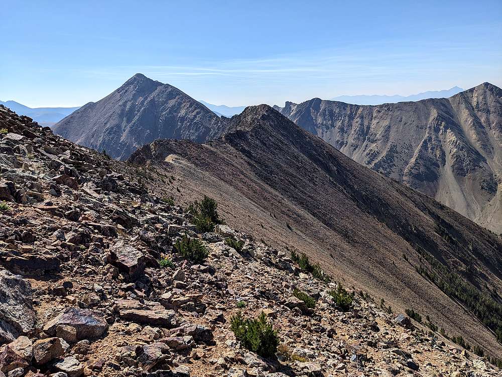
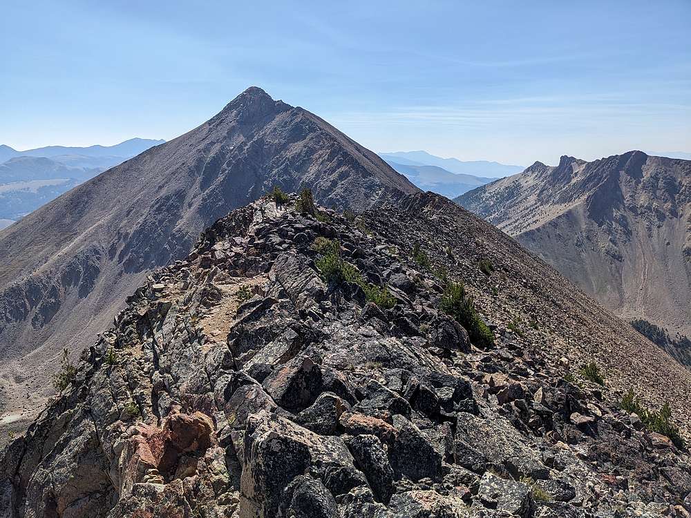
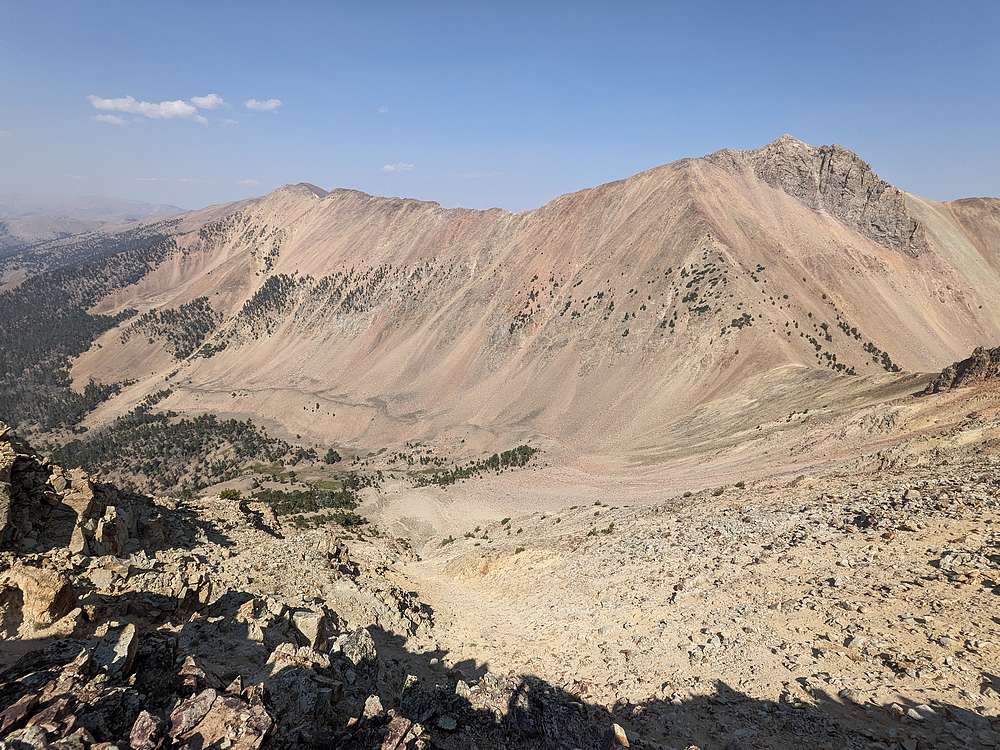
Cottonwood and Eighteenmile from the east ridge of Jump Peak.
|
|
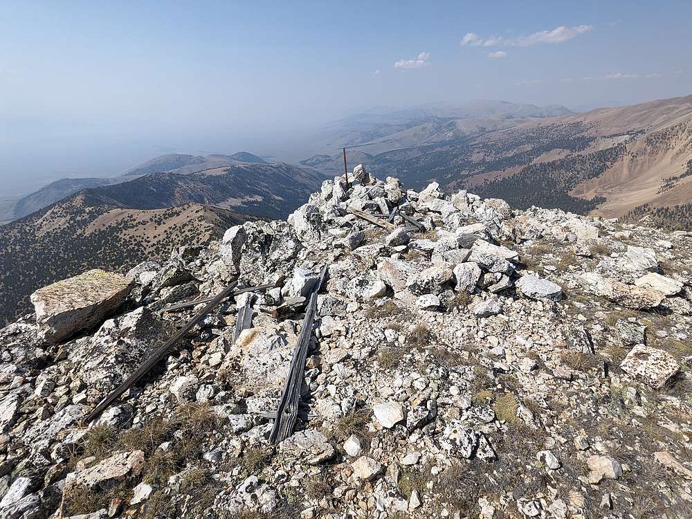
Jump Peak summit view looking north. Time for a snack break!.
|
|
From Jump Peak, I headed northwest along the ridge, back toward the trailhead. Here's a view looking back toward Cottonwood, Eighteenmile, and Jump.
|
|
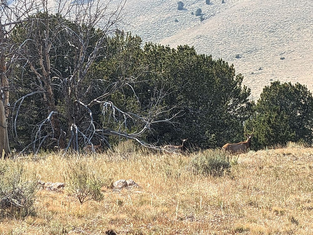
Group of elk in the trees during my descent.
|
|
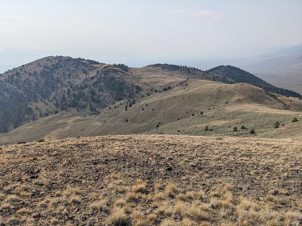
The final section of the hike took me down this gentle ridge, then into the forest on the right, before making a final sagebrush descent back to the truck.
|
|
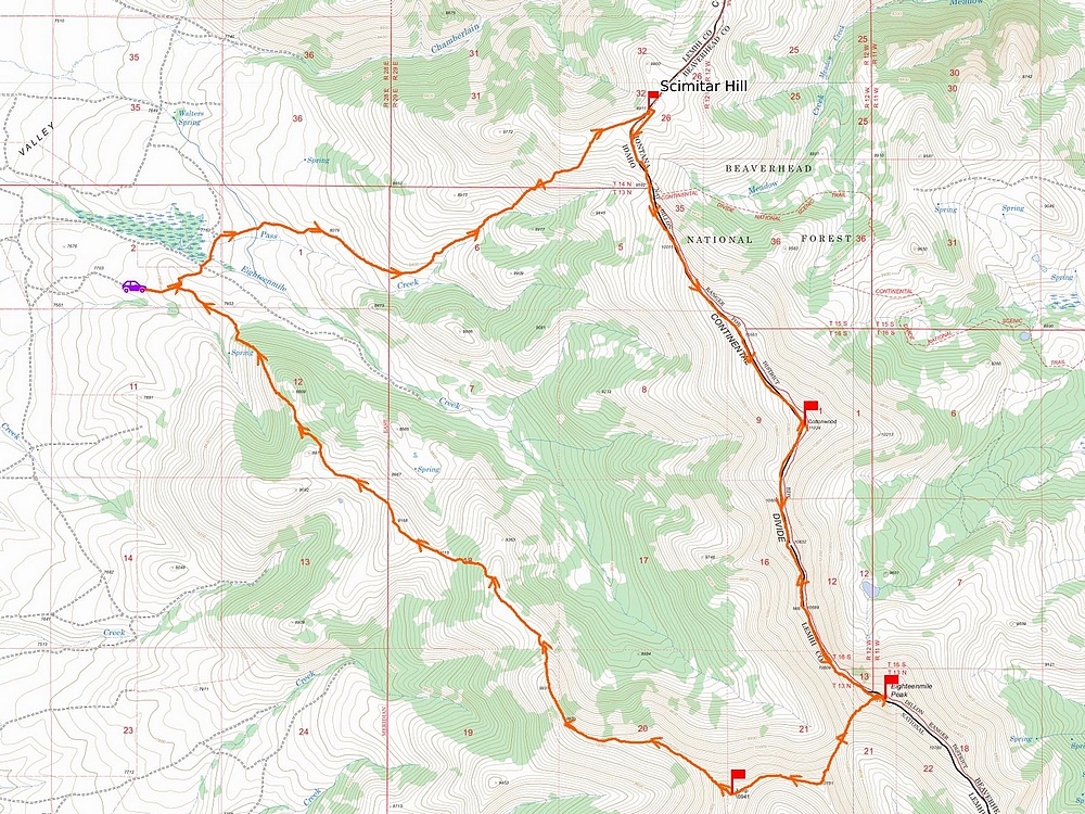
Map of my route. Around 15 miles and 5600' elevation gain round trip, in 11 hours of hiking. I went clockwise. Note: Turns out my route briefly passed through private property when I'd crossed the creek near the start of the hike. Recommend crossing a bit further east to easily avoid this.
|
|