|
Merriam Lake Peak
Elevation 11182'
Merriam Lake Peak in an unofficially named 11,000 foot peak located in eastern Idaho’s Lost River Range. Its rugged summit is the highpoint of a ridge that separates the West Fork Pahsimeroi River from the Merriam Lake drainage. A couple of different routes have been used to reach the summit, but the standard route is becoming the gully that angles up the ridge, starting at the Merriam Lake inlet stream. The gully gives access to the fun and airy northeast ridge leading to the summit of the peak.
|
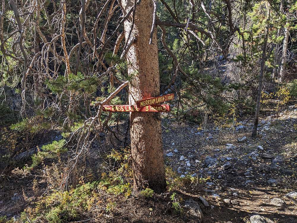
I'd driven the rough road to the West Fork Pahsimeroi trailhead in the dark the night before, and Zach made the drive in the morning. Once organized, we hit the trail to Merriam Lake.
|
|
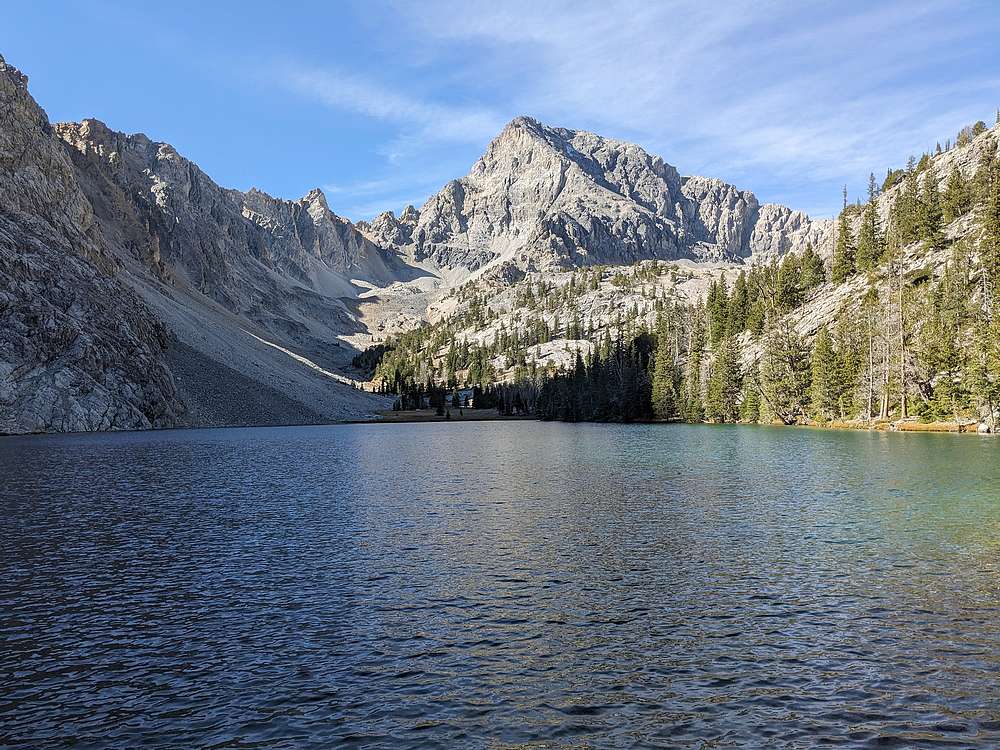
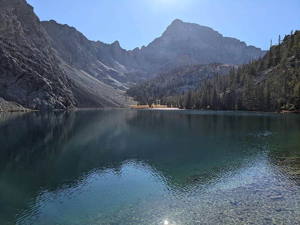
After just 2 miles of hiking, we arrived at Merriam Lake, always gorgeous with Mount Idaho towering above.
|
|
We followed the fisherman's trail around the north side of the lake, crossed the inlet stream, and stood at the base of the gully that would take us up to the ridge.
|
|
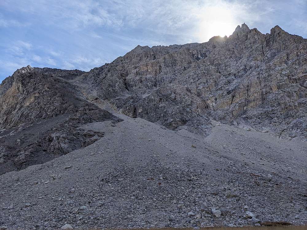
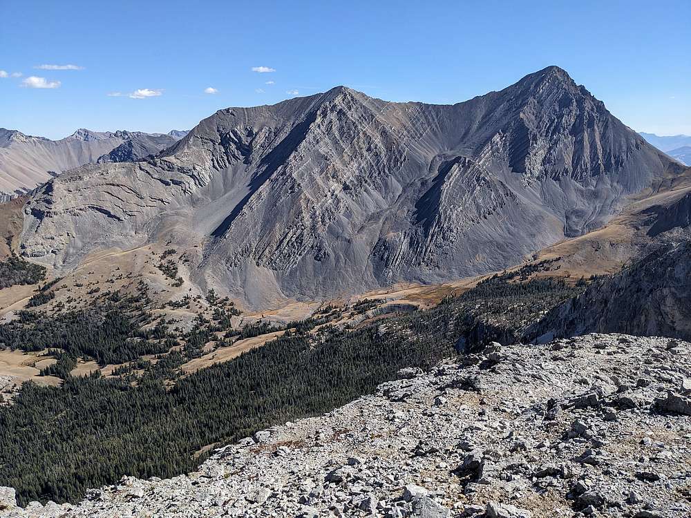
Looking back from about halfway up the gully. Sacagawea and Borah in the background. A fair amount of talus down low, more stable rock as we got higher.
|
|
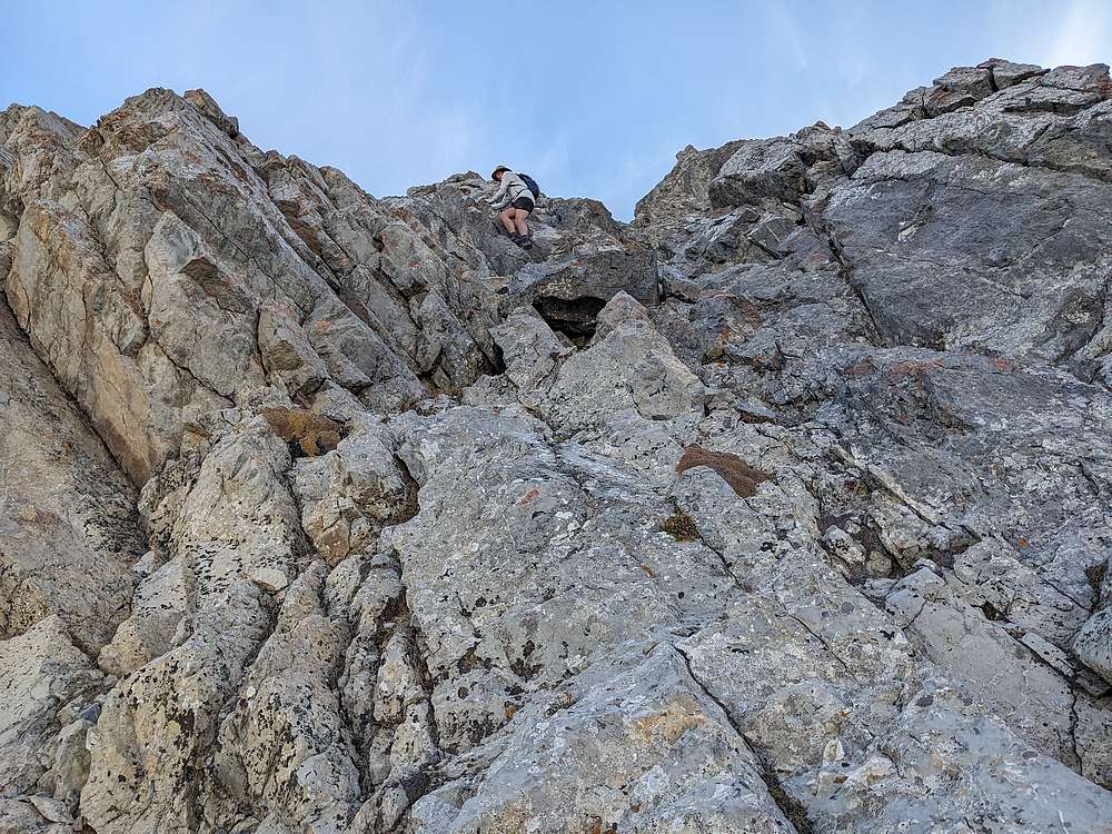
Here's Zach on a scramble section as we neared the ridge.
|
|
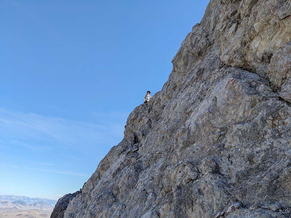
Zach on the ridge proper, as I made my way up a ramp system on the north side of the ridge. More than one way to do this!
|
|
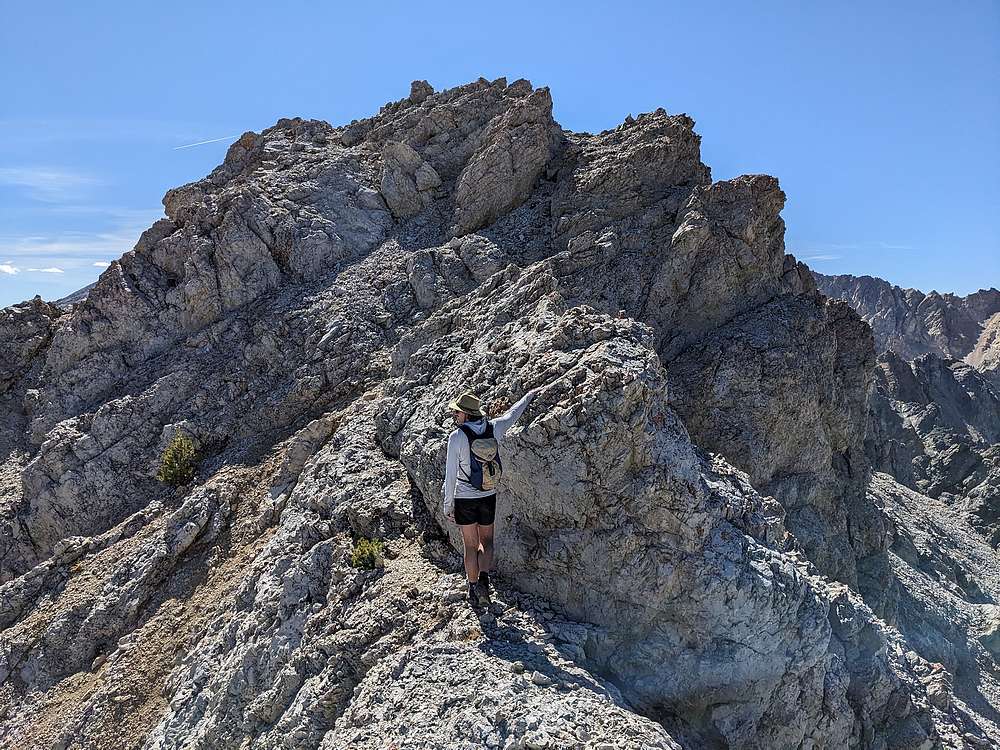
Eventually we were both on the ridge. A couple airy moves along the way, but the rock was stable and holds were abundant. Nearing the summit in this shot.
|
|
Sacagawea Peak and Mount Borah from the summit of Merriam Lake Peak.
|
|
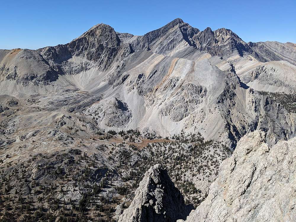
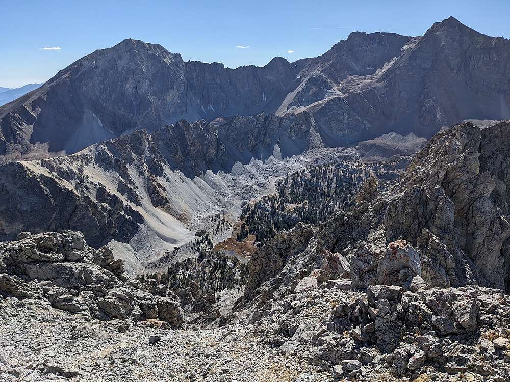
North Leatherman and Leatherman Peak, above the headwaters West Fork Pahsimeroi River.
|
|
Summit view south of White Cap Peak and Peak 11,967'.
|
|
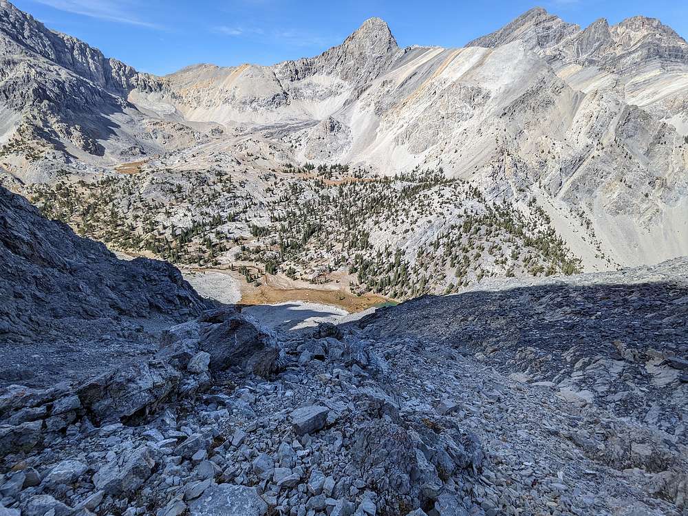
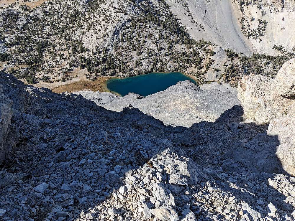
After a lunch break on the summit, it was time to head back down. We backtracked along the ridge, and here's a view down on Merriam Lake from near the top of the gully.
|
|
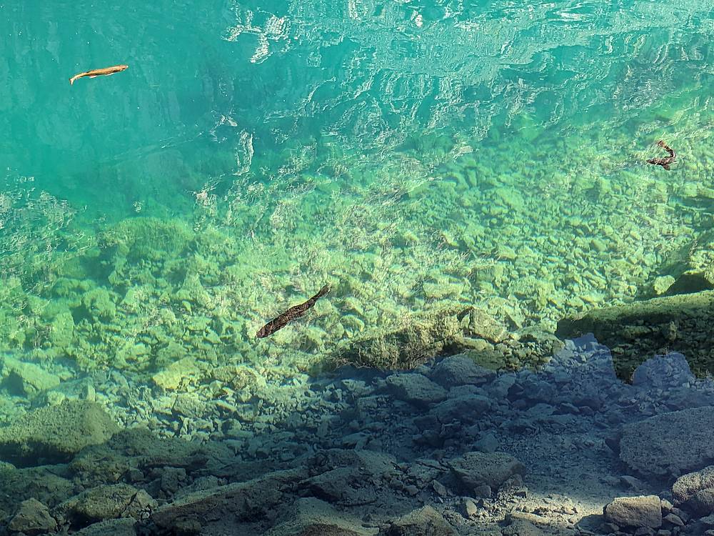
The hike was fairly short, and the day was still young, so we had time to enjoy some leisurely time at the lake, watching trout swimming and such.
|
|
Final shot before we left the lake. Such a beautiful spot. All that was left was a quick couple mile hike downhill back to the trailhead.
|
|
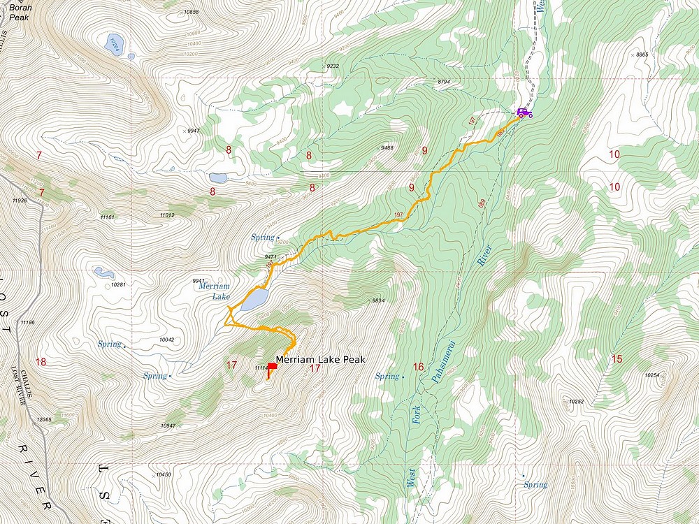
Map of our route. Around 7 miles and 3100' elevation gain round trip, in 6.5 hours of hiking. A great October day in the mountains!
|
Related Links
|