|
French Peaks
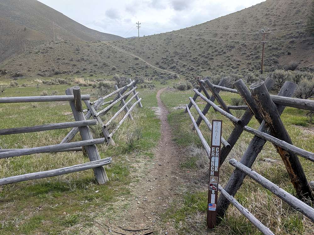
French Creek flows into the Salmon River, about 28 miles below Stanley Idaho. It drains from the northern side of central Idaho’s White Cloud Mountains, and is flanked on its west side by two peak I’m nicknaming “The French Peaks”. These peaks are easily accessible from the French Creek Trail, located right next to the highway.
|
After a 3.5 hour drive from Boise, I arrived at the snow free trailhead. I had my slowshoes with me, but decided to leave them in the car.
|
|
There was actually a pretty good trail leading up the first peak.
|
|
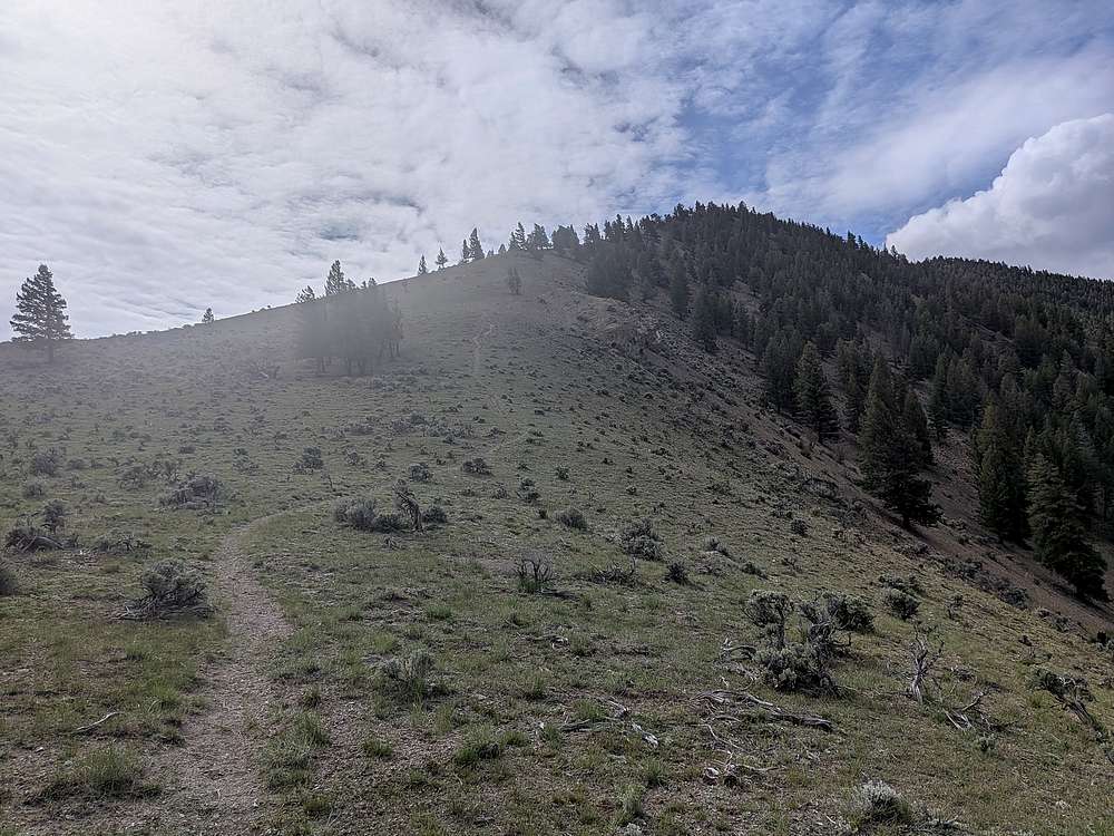
The steep trail was a grind.
|
|
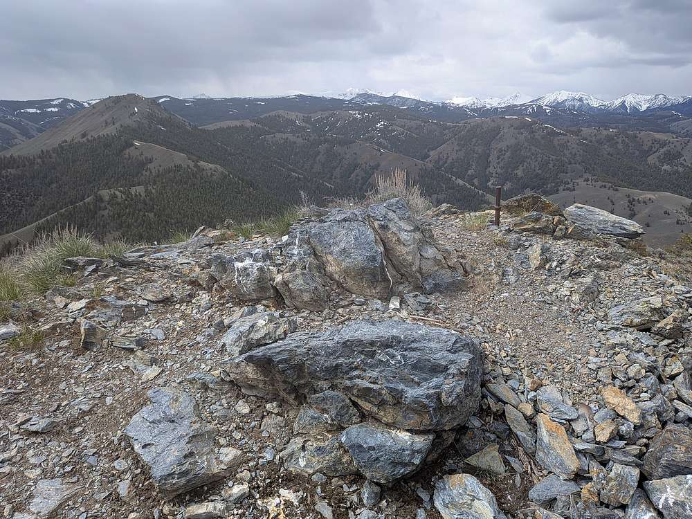
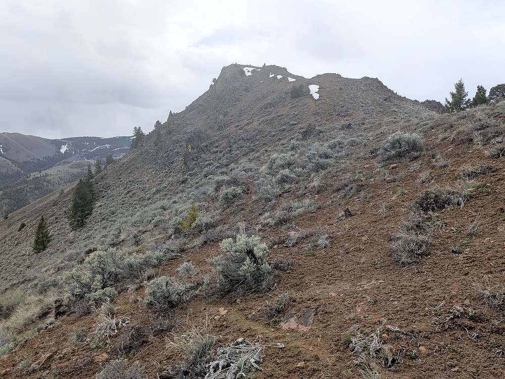
Nearing the summit of "North French Peak".
|
|
View north from the first summit. Next peak on the left, and snowy White Cloud peaks on the right.
|
|
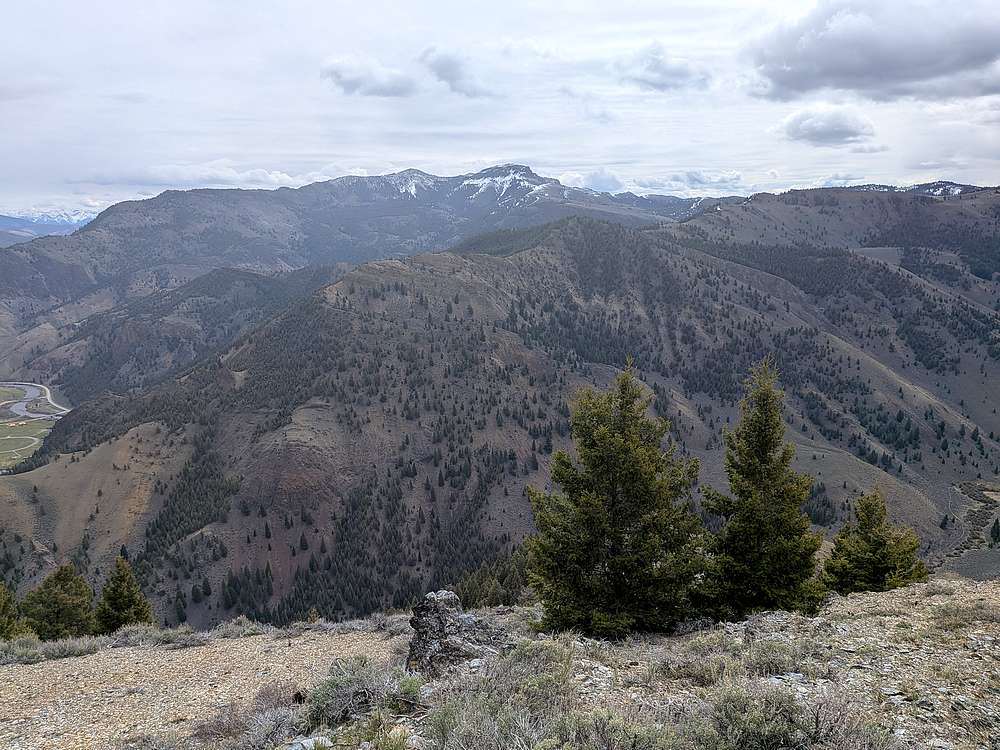
Potaman Peak to the east.
|
|
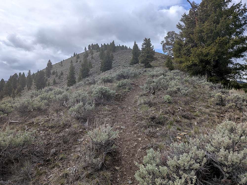
Descending south toward the next peak.
|
|
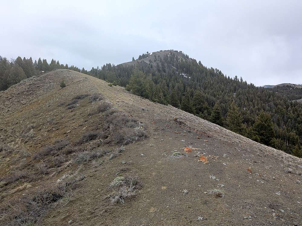
Making my way up game trails to the next peak.
|
|
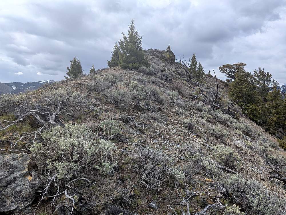
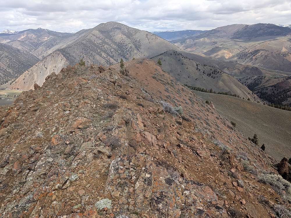
Nearing the summit of "South French Peak".
|
|
Summit view looking north toward the Salmon River Mountains.
|
|
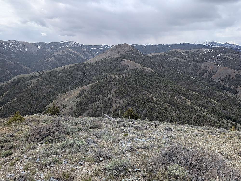
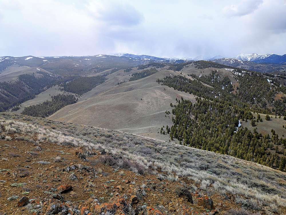
Some weather affecting the tall White Cloud peaks to the south.
|
|
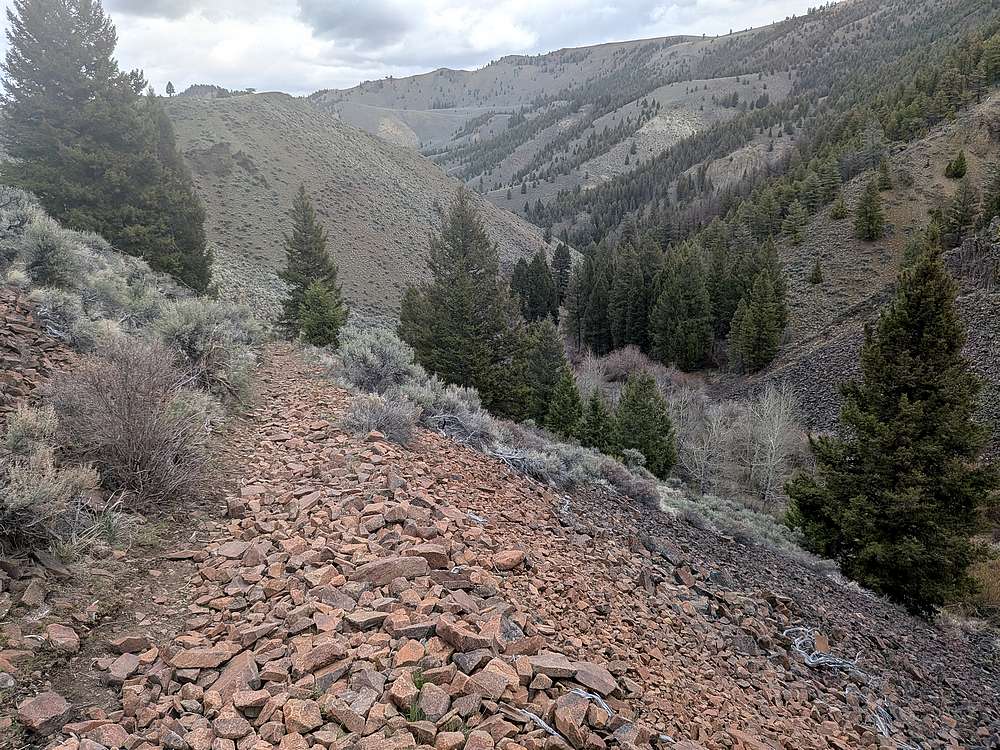
From the second peak, I continued south, descending south to meet the French Creek Trail.
|
|
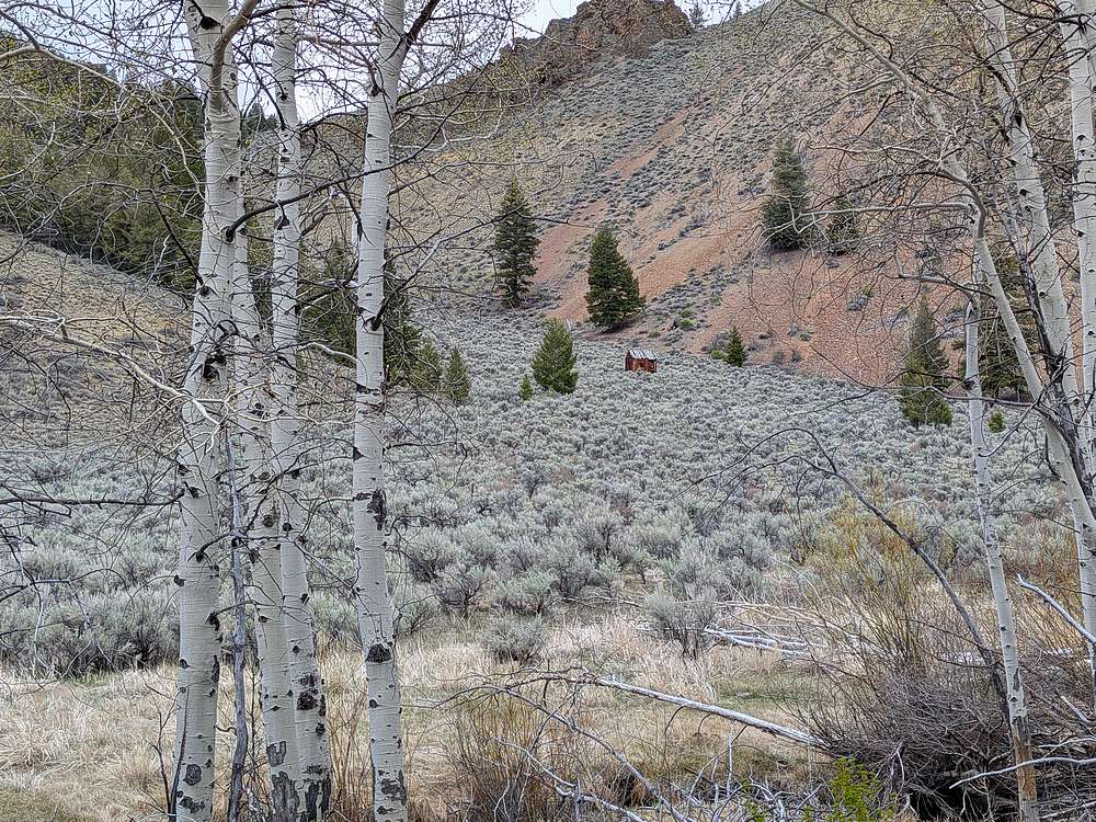
I followed the well maintained single track trail back. Here's a "room with a view" I spotted along the way.
|
|
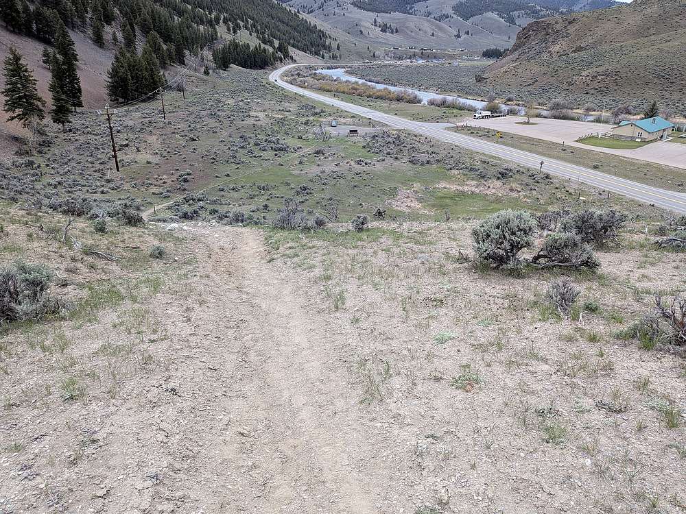
Almost back to the trailhead. Had the trail to myself today!
|
|
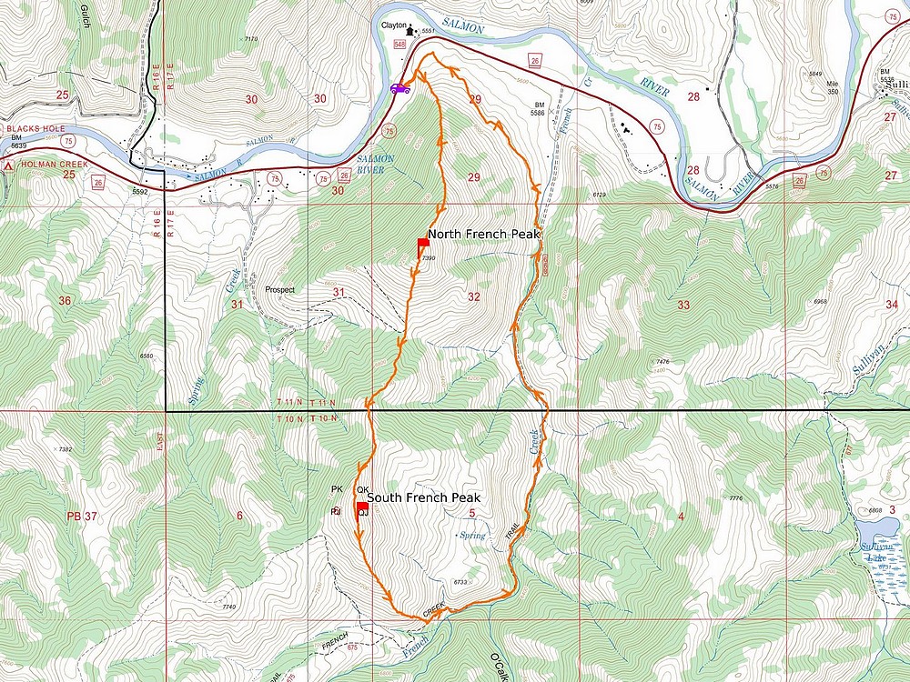
Map of my route. Just over 7 miles and 3100' elevation gain round trip, in just under 4 hours of hiking. Great to be out hiking!
|
Related Links
|
 |
IdahoAlpineZone is unofficially sponsored by Skippy Peanut Butter.