|
Sacagawea Peak
Elevation 11,936'
Sacagawea Peak is located in eastern Idaho’s Lost River Range, and is the 14th tallest mountain in the state. Often viewed, but seldom climbed, its positioned on the main Lost River crest, with the standard route following a challenging connecting ridge leading from Mount Borah’s “chicken out ridge”. There are other possible routes, including a backside approach via Merriam Lake, which is described in this report.
|
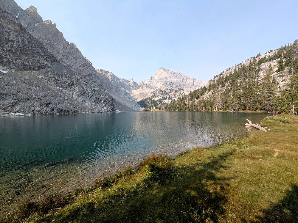
After a long bumpy ride to the West Fork Pahsimeroi trailhead in the dark, I hit the trail the next morning and made the 2 mile hike to the always beautiful Merriam Lake.
|
|
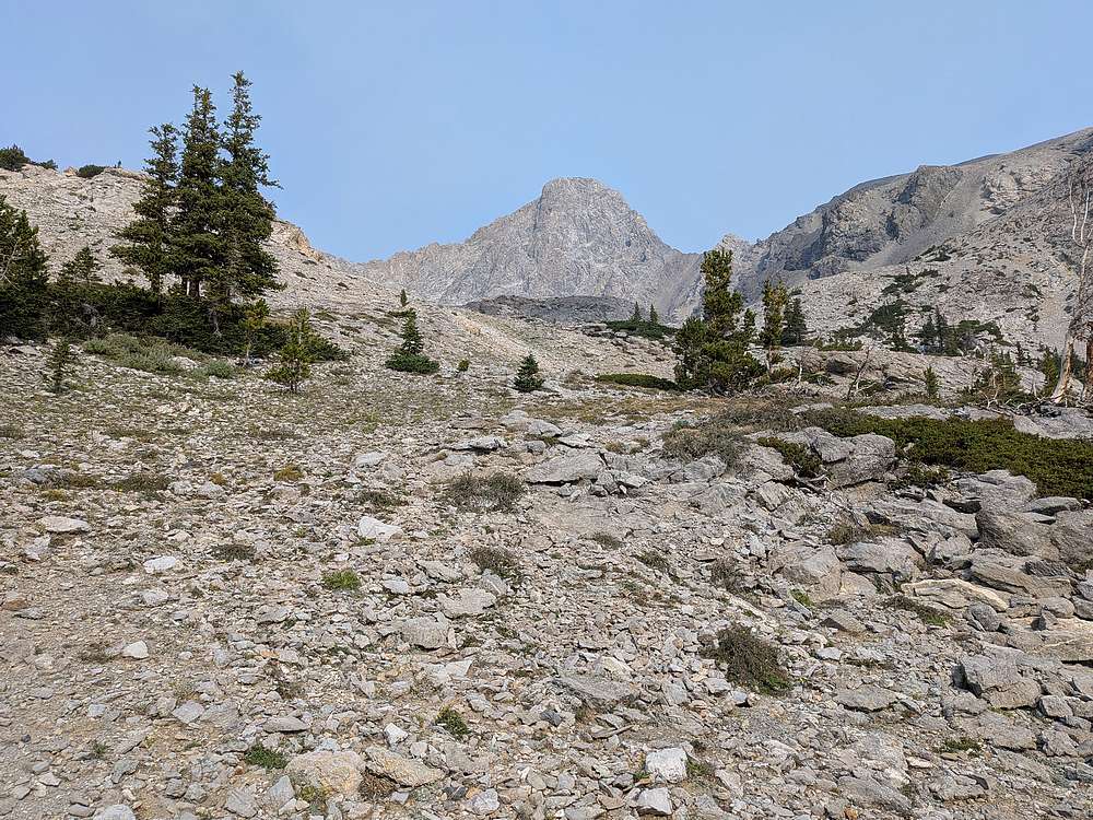
From the Merriam's inlet, I headed cross country to the west. Here's a shot of Sacagawea coming into view.
|
|
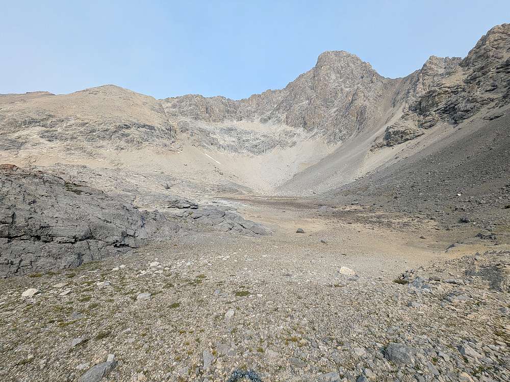
Once at "Upper Merrial Lake" (dry this year), I had to climb the slopes leading the Sacagawea's south ridge. This involved a mix of scrambling and loose talus.
|
|
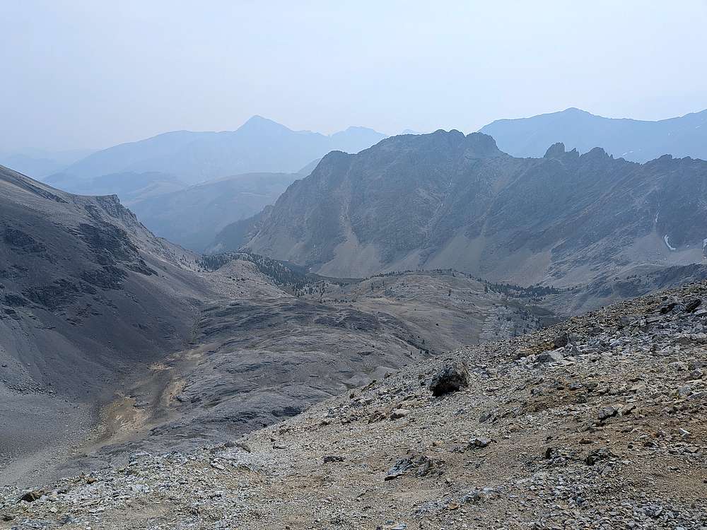
Looking back at Merriam Lake from the south ridge of Sacagawea Peak. Plenty of wildfire smoke in the air.
|
|
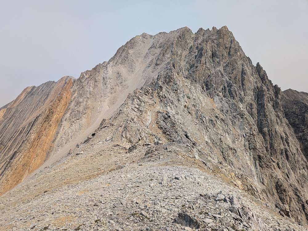
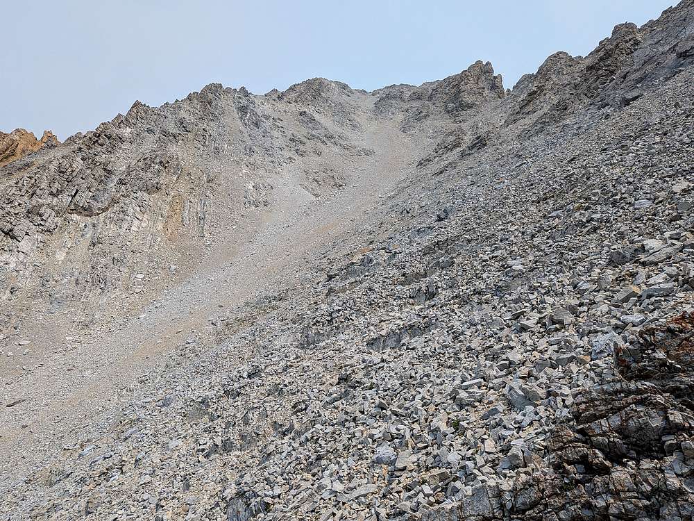
Still had some work to do after reaching the ridge. First I had to drop a couple hundred feet to avoid cliff bands, then up a looooong loose gully.
|
|
I stayed generally to the right side of the gully, doing my best to connect areas of somewhat stable rock.
|
|
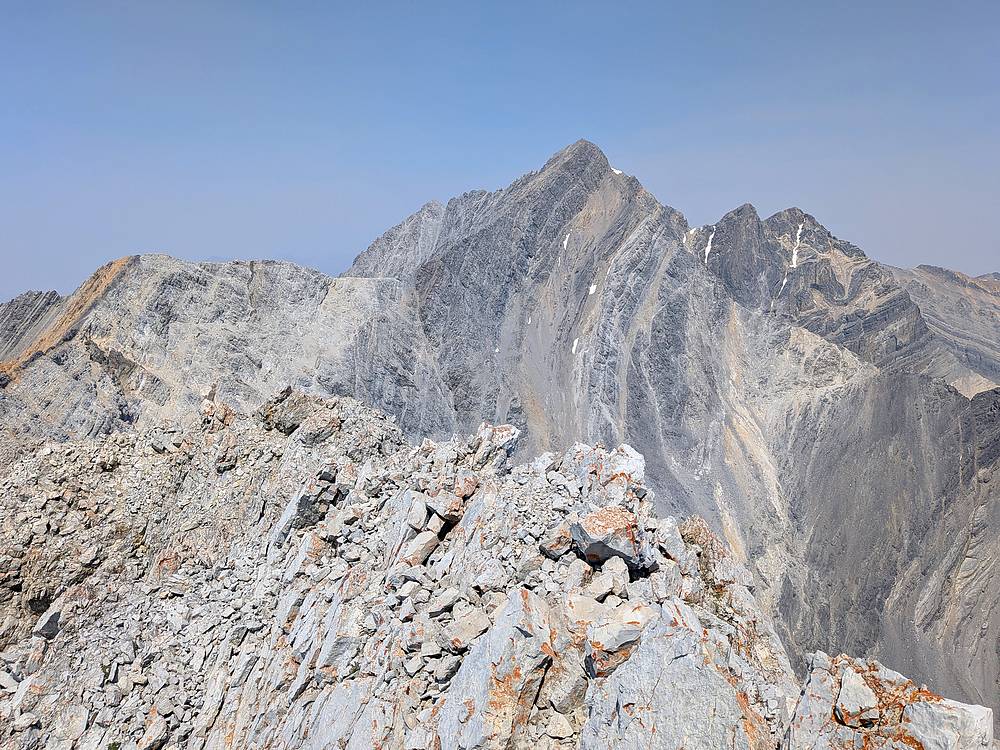
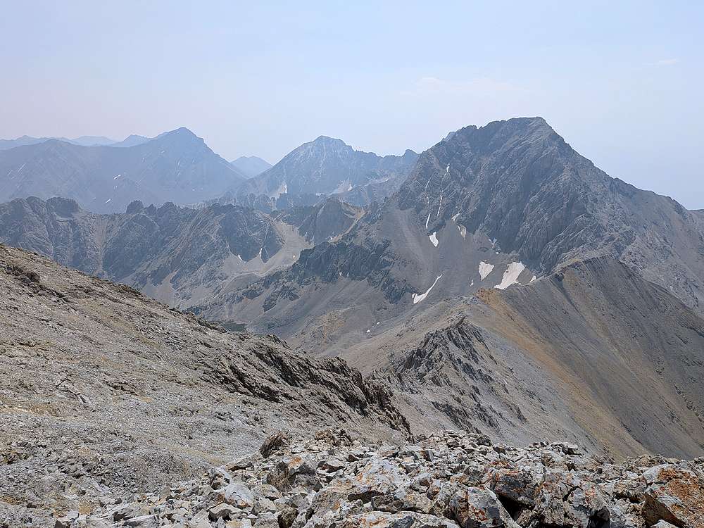
Mount Borah from the summit of Sacagawea Peak.
|
|
Leatherman, White Cap, and Mount Idaho to the south.
|
|
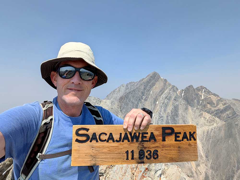
Victory shot!
|
|
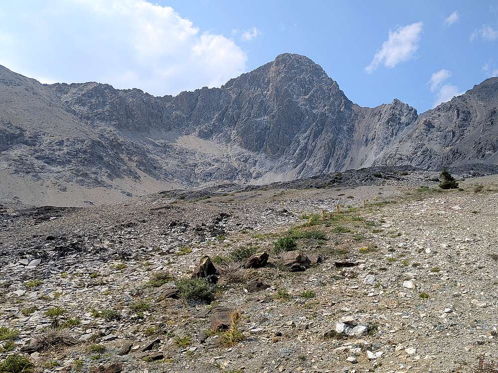
After a quick scree decent of the gully, and a more cautious downclimb from the south ridge, it was nice to get back to stable ground.
|
|
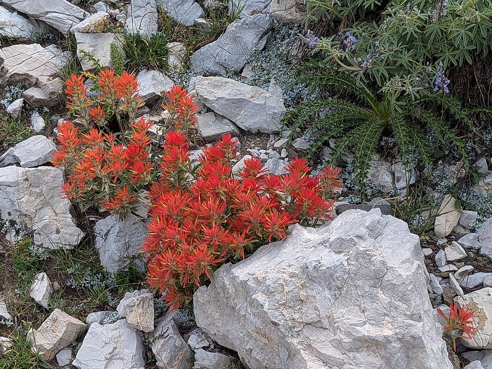
With the hard part of the day complete, and no rush to get back, I took my time to stop and check out wildflowers.
|
|
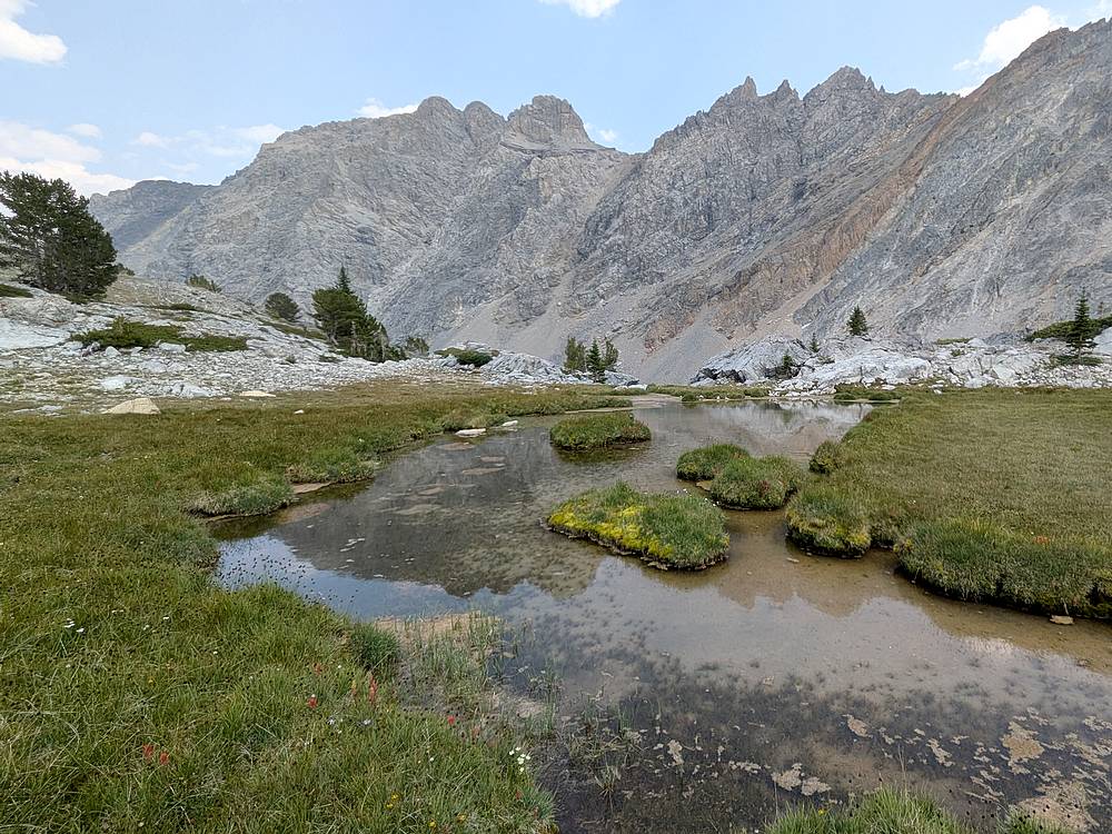
Here's a flat area with a meandering stream and Merriam Lake Peak in the background.
|
|
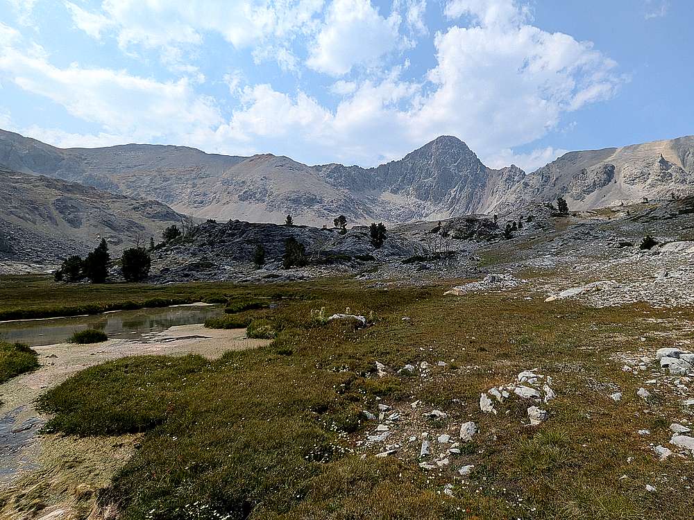
Another look back on Sacagawea before dropping back below tree line.
|
|
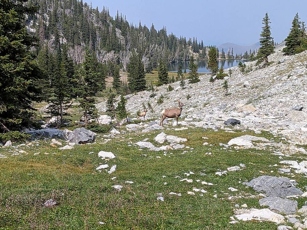
A couple bighorn sheep as I neared Merriam Lake.
|
|
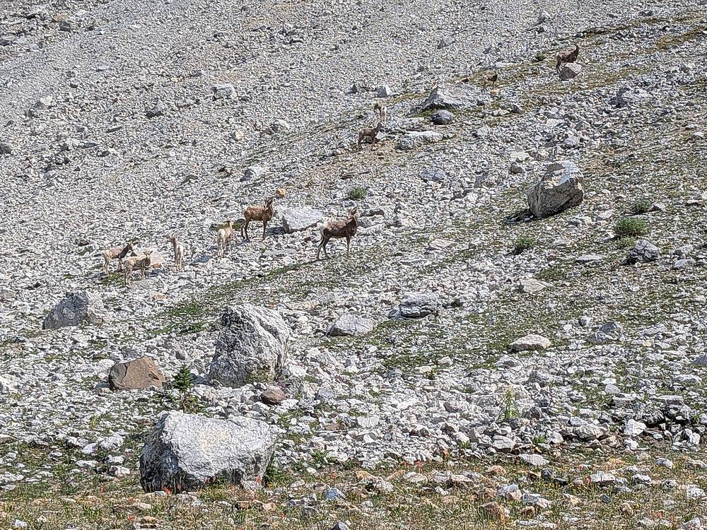
There area about 12 bighorn in this photos, part of a group of 20+ near the lake inlet.
|
|
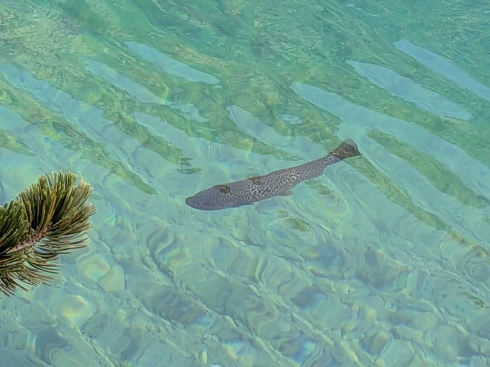
Trout swimming in Merriam Lake.
|
|
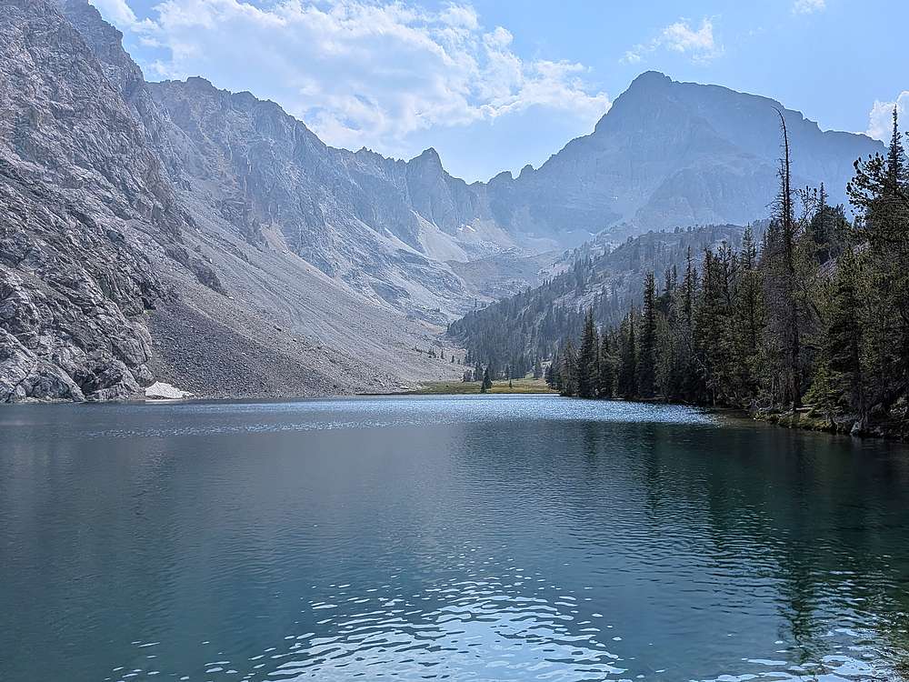
After lounging for awhile and soaking my feet, it was time to hike back to the trailhead.
|
|
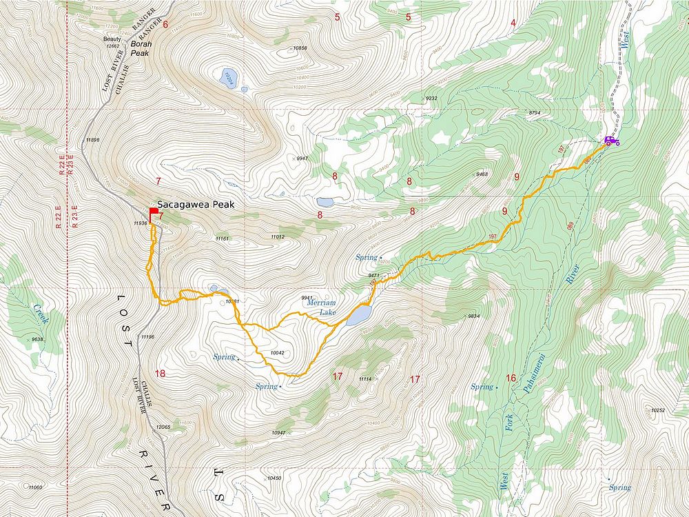
Map of my route. About 9 miles and 4100' gain, in 9 hours of hiking. Includes maybe an hour of lounging at Merriam Lake.
|
Related Links
|