|
The area around Banner Summit and Bull Trout Lake on either side of highway 21 makes from some great snowshoeing hikes. The terrain is generally mellow, and there are plenty of open meadows and snowy trees. There are even a few mountains that are within striking distance from the highway. One of those mountains is Peak 8762’. We nicknamed it “Bull Horn Mountain” since its located in between Bull Trout Point and Cape Horn Mountain.
After breakfast at the Sourdough Lodge and a two and a half hour drive from Boise, we were up and moving by about 10:30. Not exactly an alpine start, but it allowed some time for the sun to rise and warm things up to a balmy negative one degree. So Erik, Brady, and I bundled up and hit the trail. We started out briefly following the road to Bull Trout Lake, and then hung a sharp right out into the meadow just after a bridge over the creek. The meadow itself was wide open and very pretty. We made a heading of NNW, aiming toward an obvious saddle on the ridge leading to Bull Horn Mountain. At the north end of the meadow, we were fortunate to find a snowbridge over the creek, where we crossed just before heading up into the dense lodgepole pine forest.
Once in the forest, we had a fun time winding through the trees and dodging hidden snow pockets around mostly buried saplings. We crossed over a low ridge, and then began dropping into the next drainage, trying hard not to lose any more elevation than necessary. Our target was the saddle on the next ridge, marked on the map with spot elevation 7877’. It was hard to see much with the dense forest all around us, but it was a pretty scene with an abundance of snow hanging stubbornly on the trees.
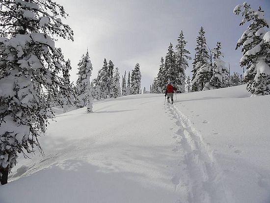
Up we went, with occasional stops for taking photos. As we neared the saddle, the trees got less dense, and we were treated to some good views of Cape Horn Mountain to the north. From the saddle we hung a left, and started up the ridge toward the summit. The slope was now less steep, and we set a steady pace with our snowshoes only sinking in about ankle deep. We were starting to get some better views through the trees, and we hoped the summit itself would be open enough to allow for some panoramic views.
As we neared the summit, the views began to open up as we entered an open meadow just below the highpoint. From here we had good views of the Sawtooths, as well as Cabin Creek Peak and other peaks in the Salmon River Range to the northeast. We then continued a little further up to the highpoint, and then even further to the southwest hoping to get a view of the steep north face of Bull Trout Point, but that view remained elusive.
It was almost 2:30 by the time we sat down for lunch. We hung out for a while enjoying the scenery while having a bite to eat. The weather was great, plenty of sunshine and no wind. But soon enough, it was time to head back down. With a broken trail already in place to lead us back to the car, it only took us about two hours to descend.
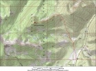
Map of the route, 7 miles round trip with 2000' elevation gain. |

Trailhead panoramic view, our destination is in the center. |
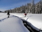
Hopping across the creek. |
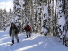
Making our way through the trees. |
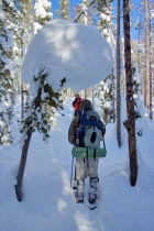
Huge ball of snow over our path. Erik photo. |
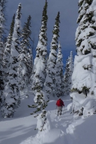
Erik climbing through the trees. Brady photo. |
Lots of snowy trees near the saddle. |

Mellow terrain on the ridge. Brady photo. |
View up the ridge toward the summit. |
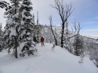
Taking in the views from the ridge. |

Wide angle view from the ridge, Cape Horn Mountain on the right. |
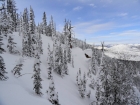
Another view looking northwest from the ridge. |
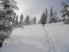
Erik nearing the summit. |

Wide angle view of the summit. Erik photo. |
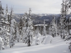
Looking back down on the meadow near the trailhead. |
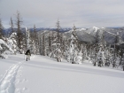
Brady checking out the views. |
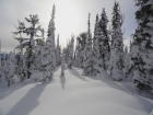
Nice scene on the summit of Bull Horn Mountain. |
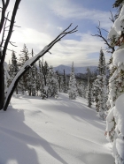
View southwest toward Bull Trout Point. |
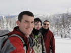
Splattski style shot from the summit. |

Almost back to the trailhead, Copper Mountain on the left. |
 |
|

