|
Howe Peak
Elevation 8701'
Howe Peak is located at the southern end of easter Idaho’s lengthy Lost River Range. The nearest towns are Arco and Howe. There is a road leading the summit, which is home to a bunch of communication equipment. I chose the park at a saddle a mile from the highpoint, to make for a somewhat sporting 2 mile hike.
|
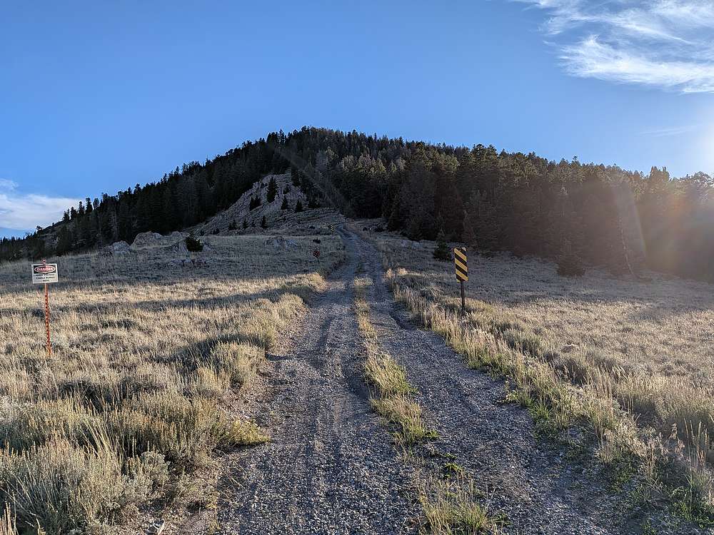
After an adventurous drive up the Right Fork Eightmile Canyon, I parked at the saddle just below a forested section.
|
|
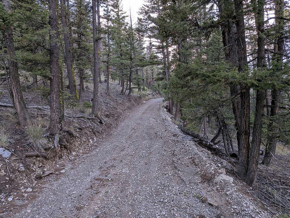
The road made for an easy hike, starting out in the trees.
|
|
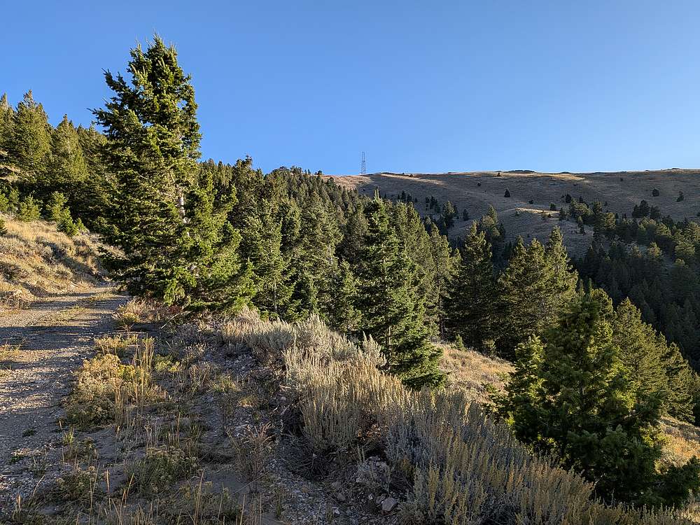
The summit comes into view from around the halfway point.
|
|
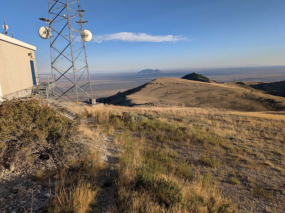
View of Big Southern Butte from the summit of Howe Peak.
|
|
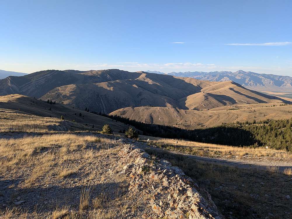
Jumpoff Peak and the rest of the Lost River Range stretching to the north.
|
|
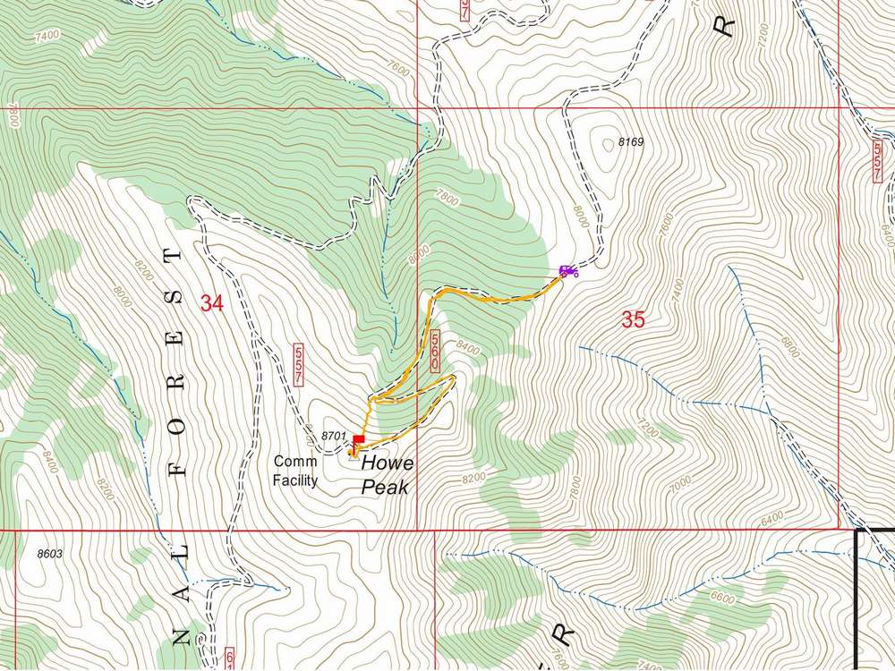
Map of my route. About 2 miles and 700' elevation gain round trip, in 40 minutes of hiking.
|
Related Links
|
 |
IdahoAlpineZone is unofficially sponsored by Skippy Peanut Butter.