|
Pahsimeroi Pyramid, Metaxy Peak, and Mount Darcy
Mount Darcy, aka Gooseberry Peak, is located on the Pahsimeroi Crest, in the northern section of eastern Idaho’s Lost River Range. This 11er is the 110th tallest peak in Idaho, and can be combined with Pahsimeroi Pyramid (Idaho top 200 peak), and Metaxy Peak which is an unnamed summit found between the two. Michael Darcy lost his life after being injured during a fall while climbing this peak in 2012.
|
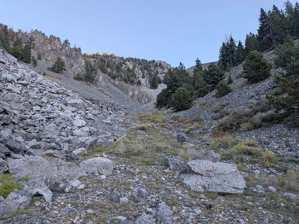
I made the long drive from Boise, to the end of the jeep trail on what I guess you'd call the north fork of Sheep Creek, just northeast of junction 7374'. Tad and Michael each arrived later, and the next morning we started up the tight valley toward Pahsimeroi Pyramid. We made good time thanks to an intermittent game trail and minimal bushwhacking. Here's a view from around 8500'.
|
|
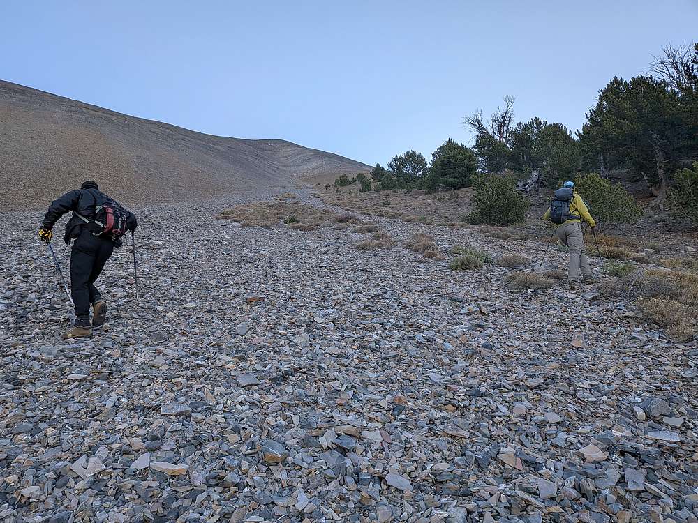
Soon the grade steepened, and some talus climbing was in order on the way up the west face of Pahsimeroi Pyramid.
|
|
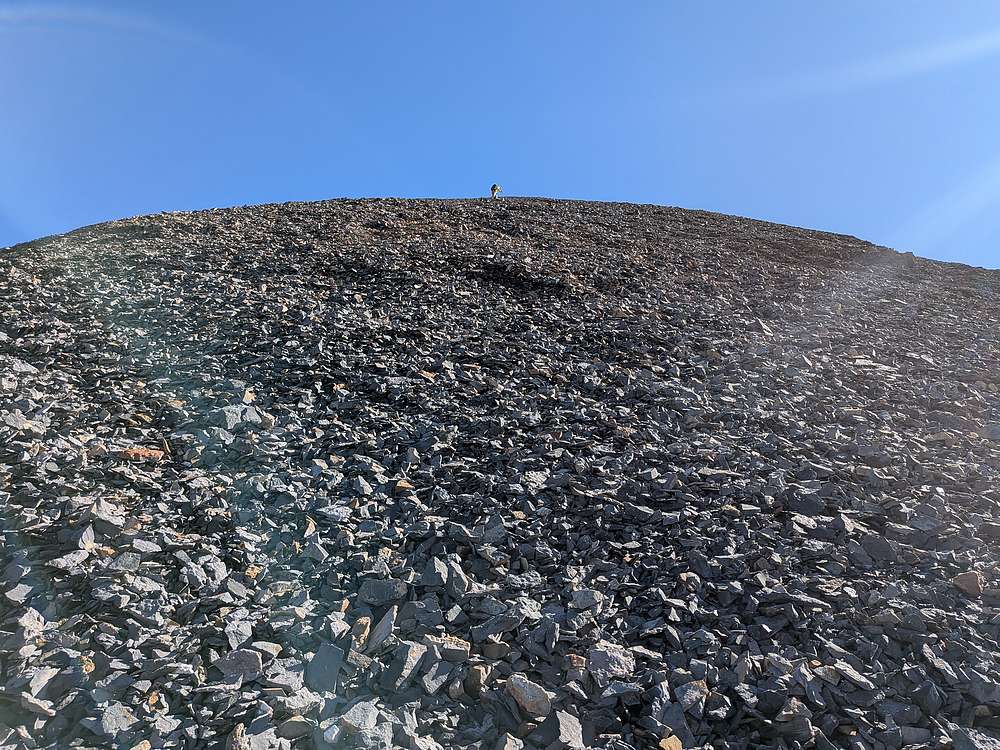
Michael was first to conquer the "two steps forward, one step back" section of loose talus higher up.
|
|
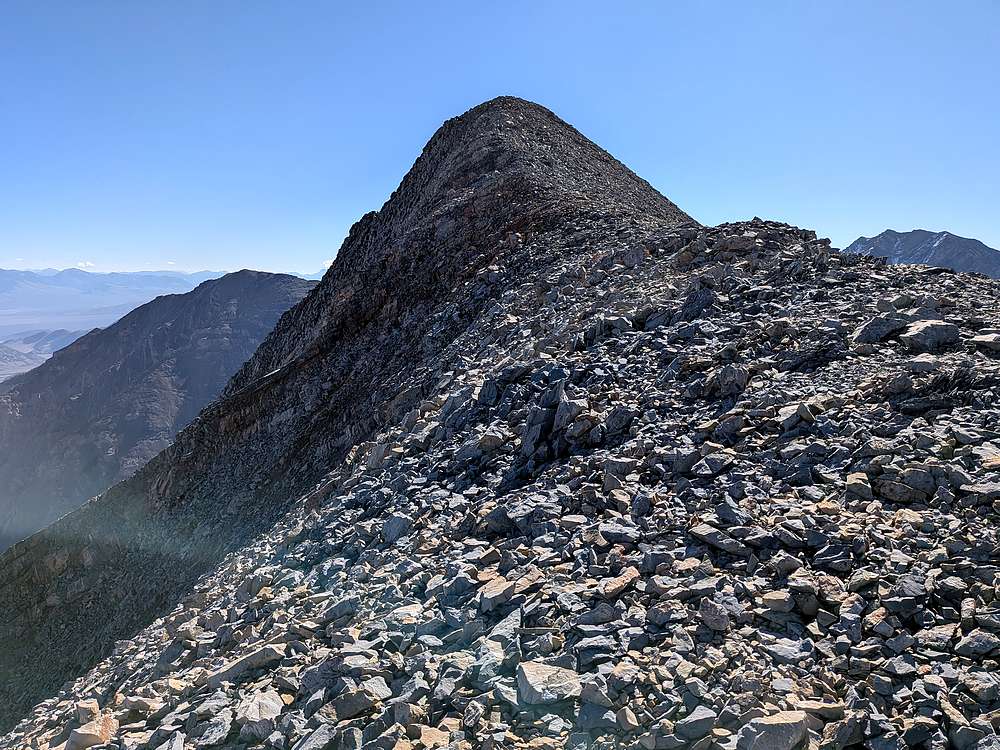
Final approach to the summit of Pahsimeroi Pyramid.
|
|
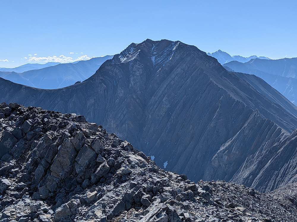
Close of up of the north face couloir on Petros Peak, to the southeast. I hope to be back for Petros as my final 11er in a couple weeks.
|
|
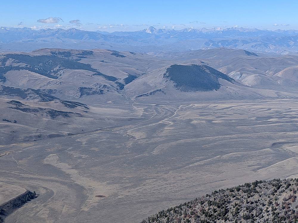
Looking west toward US93, with Castle Peak and the White Clouds in the distance.
|
|
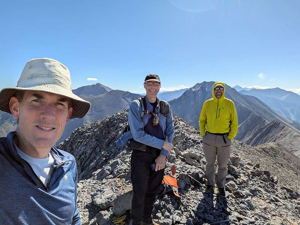
Group shot on the summit of Pahsimeroi Pyramid.
|
|
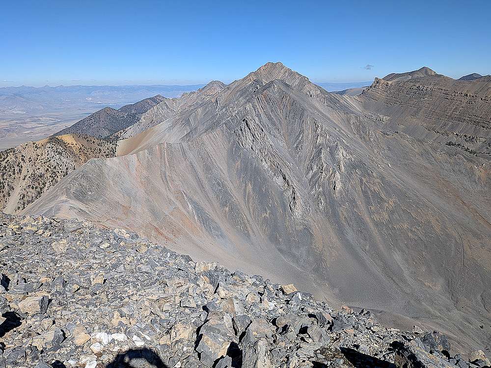
View north toward next objectives Metaxy Peak, and Mound Darcy.
|
|
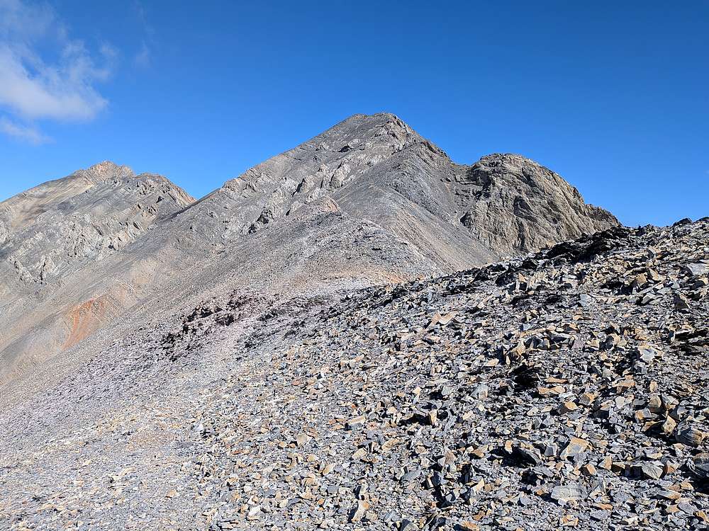
After bidding us a fond adieu from the saddle, Michael headed back to the trailhead. Next up for Tad and I was Metaxy Peak, the ridge to Darcy on the left.
|
|
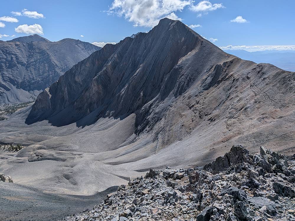
Looking back on Pahsimeroi Pyramid.
|
|
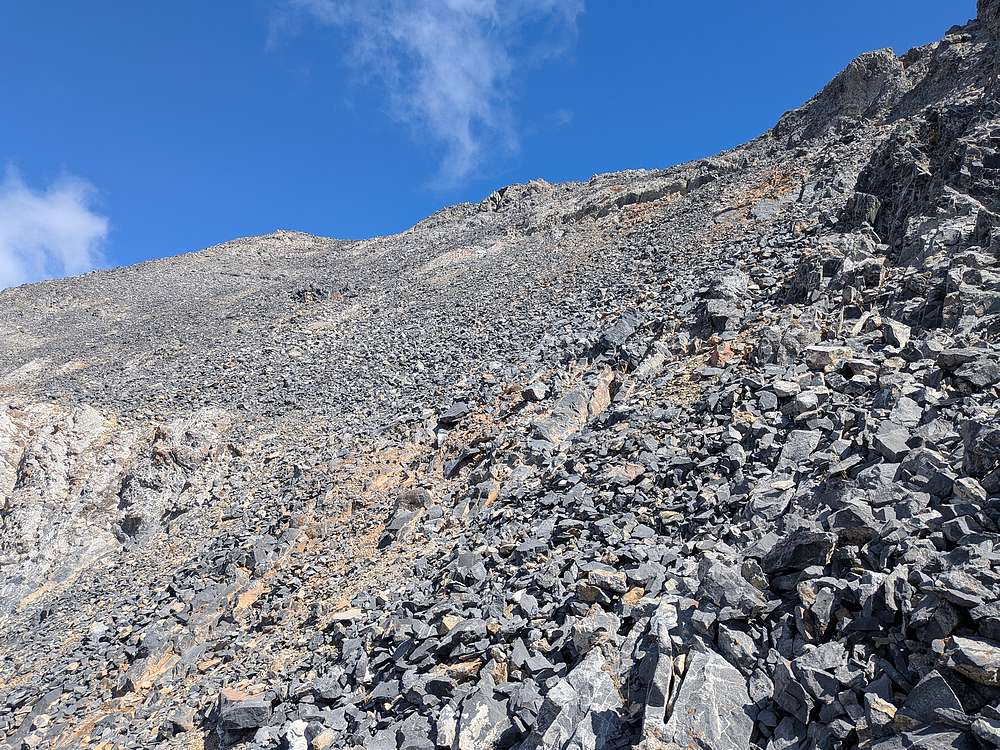
This talus field on the way up Metaxy wasn't as bad as it looked.
|
|
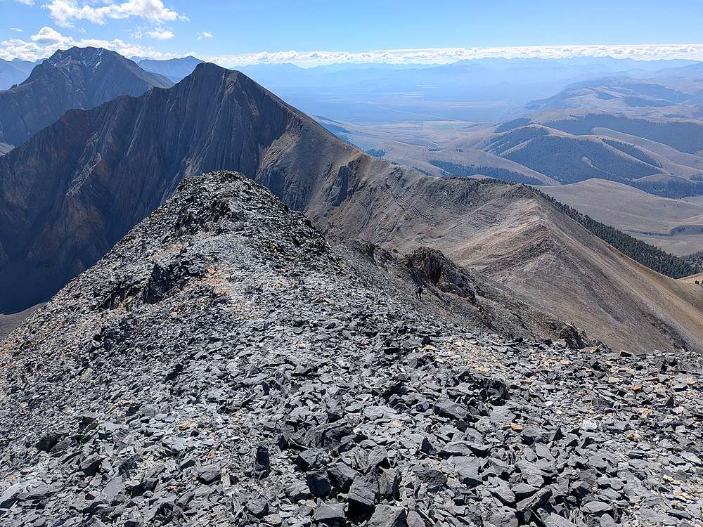
Tad nearing the Metaxy summit ridge, Petros and Pahsimeroi Pyramid in the background.
|
|
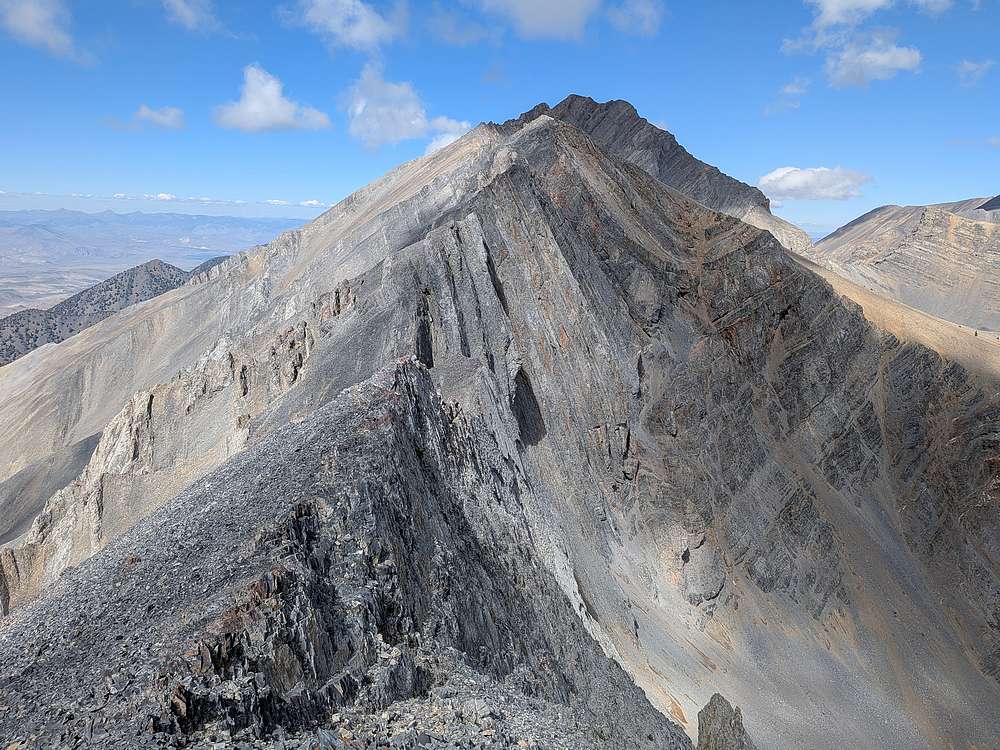
Tad had climbed Darcy before, so I was on my own after Metaxy. Is this going to work?
|
|
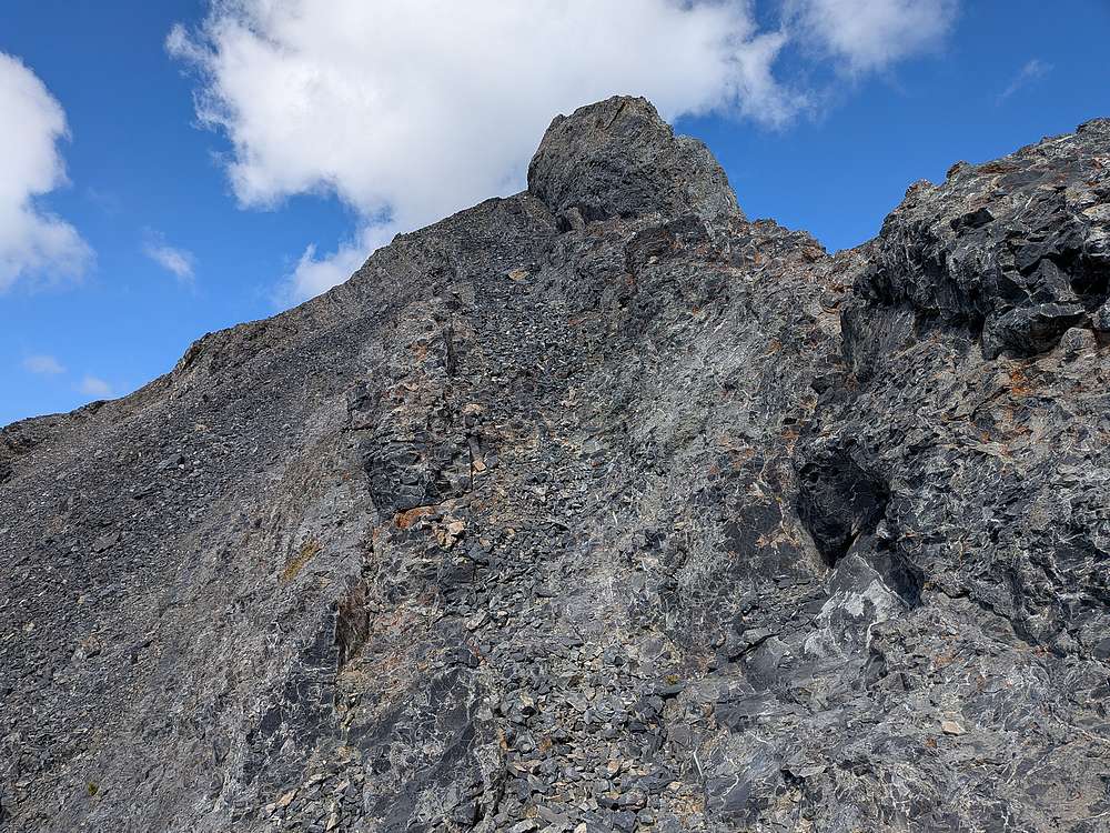
This slanted shelf just west of the ridgeline made for easy travel in this section.
|
|
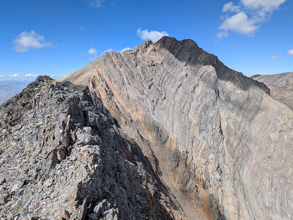
Getting closer to Darcy via the south ridge, but still some ground to cover.
|
|
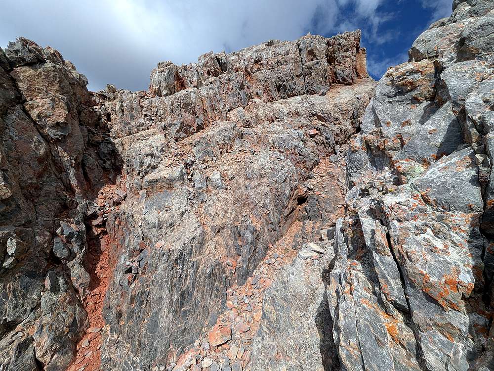
This red gully was the crux of the climb, but still only class 3.
|
|
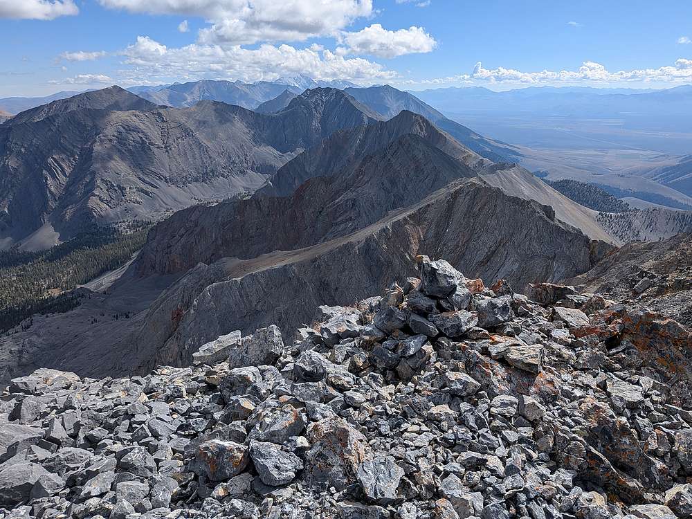
Mount Darcy summit view looking south, with the snowy north face of Mount Borah in the distance.
|
|
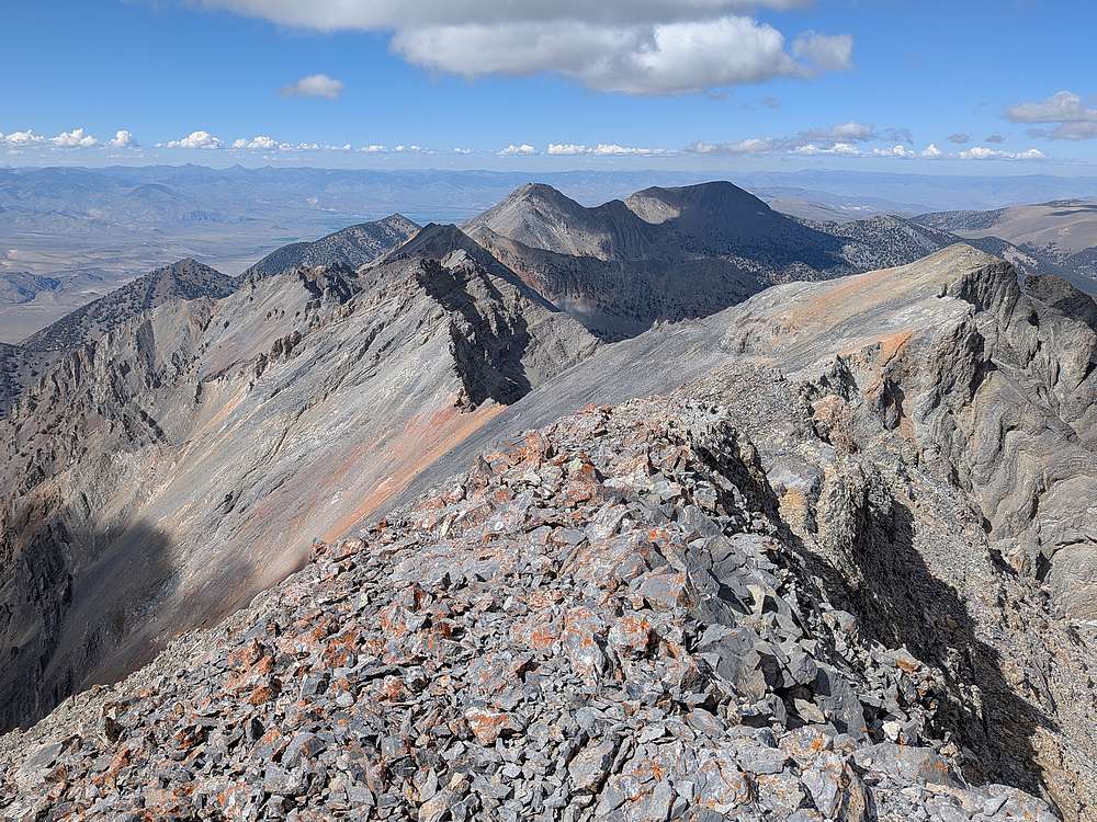
McGowan Peak to the north from Darcy.
|
|
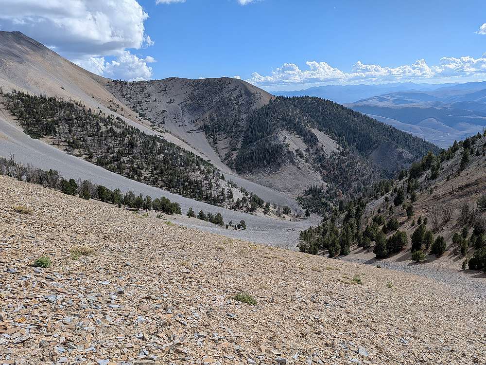
After backtracking partway along the ridge, I descended this valley north of the one we came up. It was tedious talus up high, better down in the shadier valley, then a hot loop back to join Tad at the trailhead.
|
|
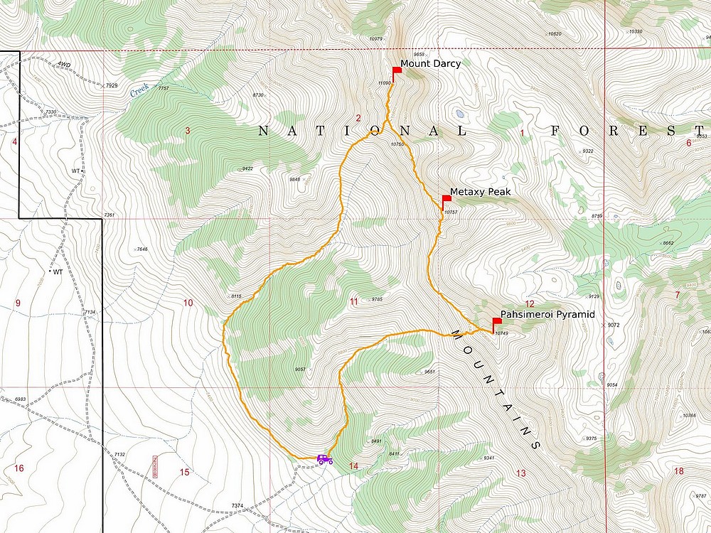
Map of the route. 7 miles and 4400' elevation gain round trip in just over 9 hours of hiking. We went counterclockwise. A great day in the mountains! Many thanks to Michael & Tad for joining.
|
Related Links
- Trailhead Location
- My GPS Track
- Pahsimeroi Pyramid:
TL,
PB,
LOJ,
Map
- Metaxy Peak:
TL,
PB,
LOJ,
Map
- Mount Darcy:
TL,
CI,
PB,
LOJ,
Map
|