|
Thunderbolt Mountain is located in central Idaho’s Salmon River Mountains, just north of Warm Lake. Tom Lopez says this peak may have the best views in the entire rage. There is an active fire lookout on its summit, and a maintained trail that can be used to reach the summit during summer months. There are also roads nearby that are kept open year round, which mean the peak can be accessible during a hearty single day outing even during winter. But beware, this peak is steep on all sides and should only be attempted in winter when avalanche danger is very low.
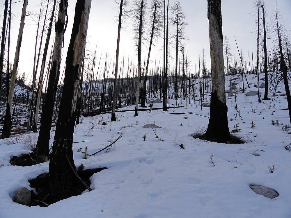
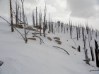
After checking with various folks on getting out for a snowshoe climb, Splattski was interested and suggested Thunderbolt. Sold! We met in Cascade at about 7am, and were to the trailhead by about 8am. Our plan was to hike up the Roaring Creek drainage, and then climb Thunderbolt’s prominent northwest ridge. It had been pretty warm the prior couple nights, but we hoped the snow would still be supportive enough to avoid a total posthole fest. Unfortunately that was not the case, and we labored along through the burned forest. After a half-mile of breakable crust, we decided to angle over to the south facing side of the valley to hike on bare ground. This was much faster, but wouldn’t last long as the bare ground disappeared as we got higher. So it was back to the breakable crust. The crust would support our weight about once every four or five steps, just often enough to keep false hope alive.
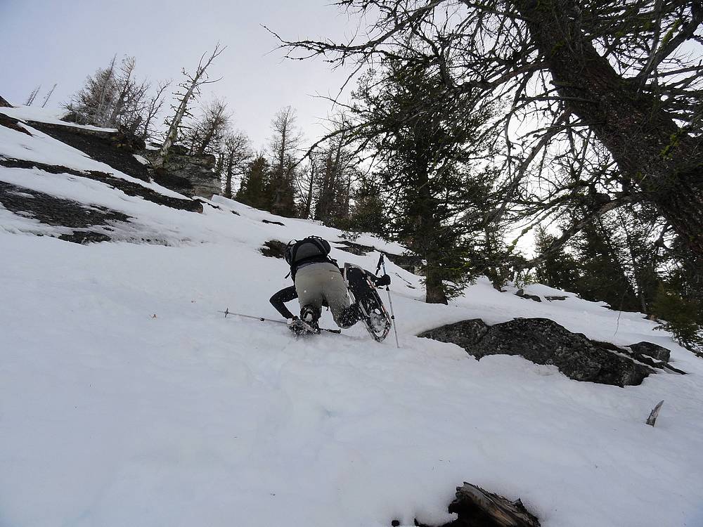
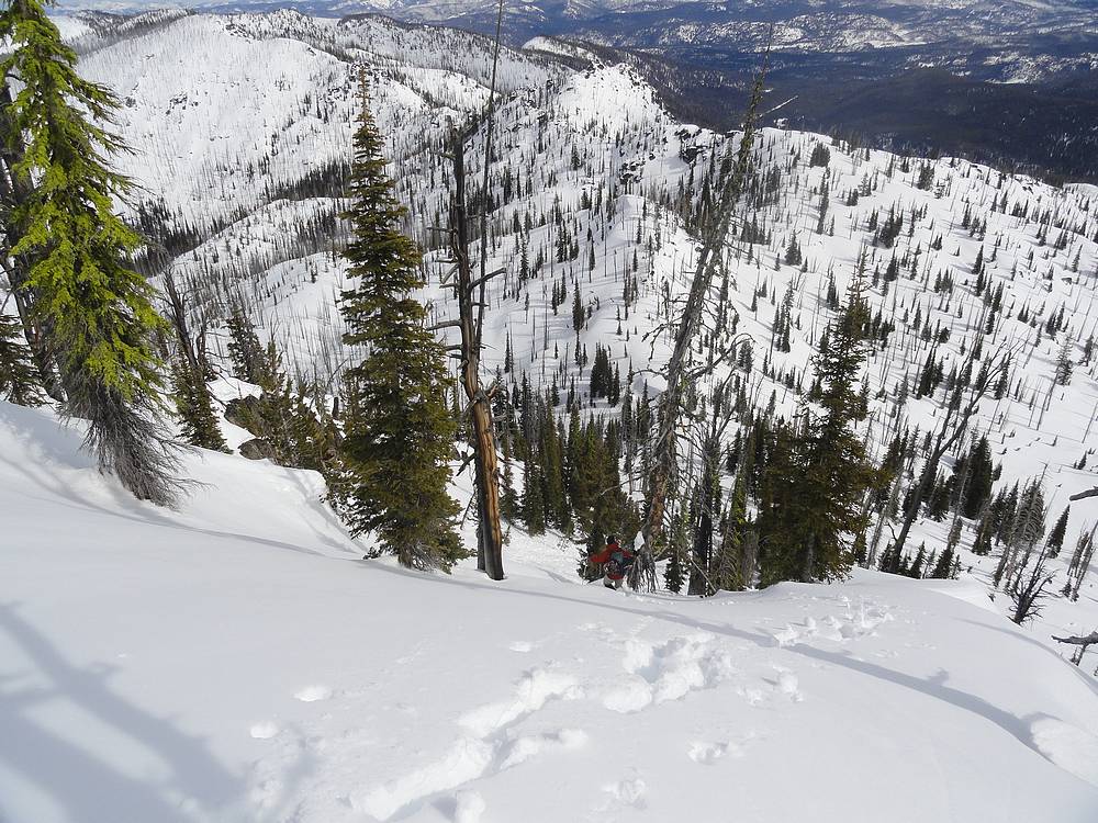
As we got higher up the valley, the toe of the ridge came into view, and we headed toward the west side in hopes of spotting a way to reach the ridgeline. The lower slopes looked steep, but climbable, so up we went, albeit very slowly. This section was by far the hardest part of the day. We were still breaking though the crust, and the steepness made it kind of spooky, especially while working around some cliff bands that made for a dangerous runout below us. But we were committed, and eventually made it up onto the ridge.
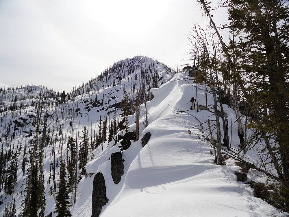
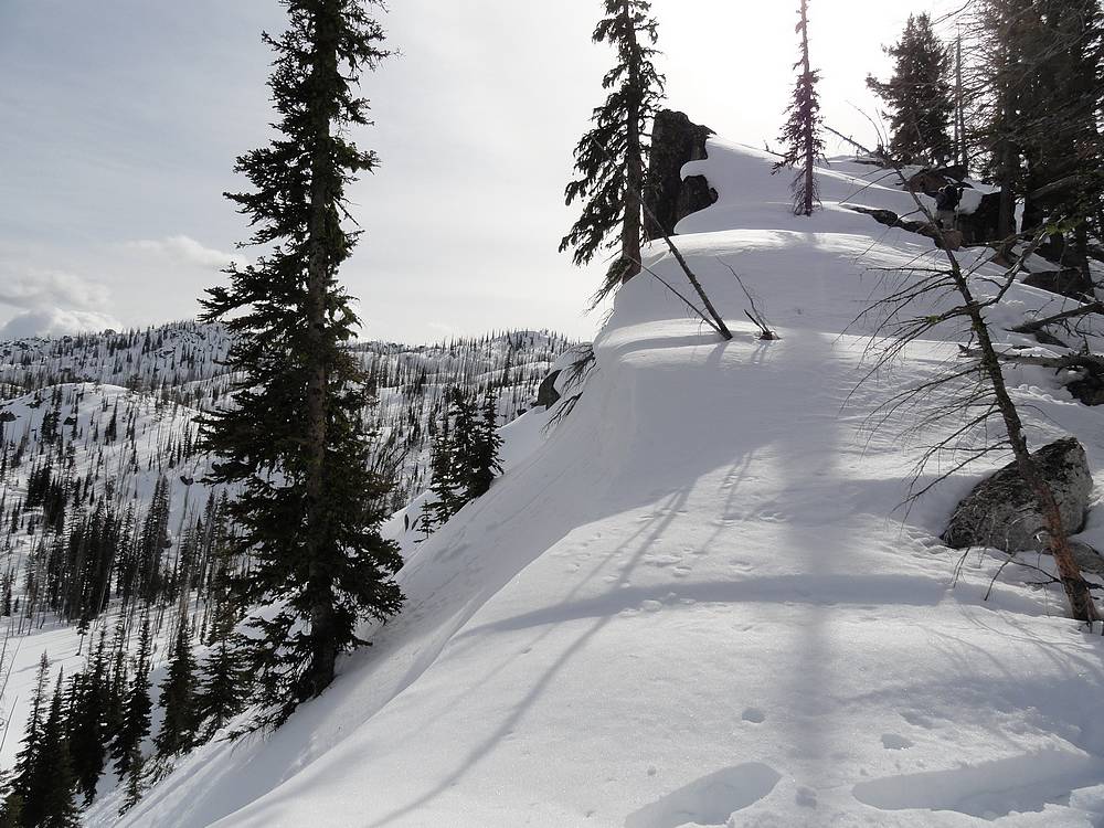
The view from the beginning of the ridge was impressive. The Roaring Lakes basin was below us to the east, with the ominous steep and corniced ridge extending above us. It looked doable, but we couldn’t really tell for sure. Fortunately the snow was more supportive up the ridge, and we were able to make steady progress. This part of the climb was a lot of fun. We were able to stay true to the ridge for the most part, with only occasional pauses along the way to craw up and over chest high snow ledges, or around rock outcroppings.
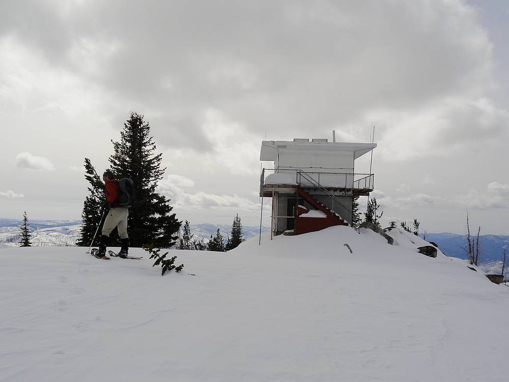
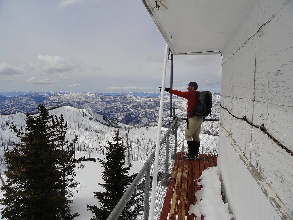
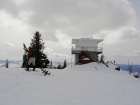
Eventually the lookout building came into view, and we arrived at the summit ready to soak in the highly anticipated views and have a bit to eat. After five hours of laborious climbing, a PB&J was sounding pretty good. The lookout building was locked down for the winter, but we climbed up onto the catwalk to soak in the views and eat some lunch. I was very impressed that we could see all the way to Castle Peak in the White Clouds, as well as the jagged Sawtooths in the distance. All around us were the remote and rugged Salmon River Mountains. These surrounding peaks certainly aren’t the highest in the state, but are very impressive looking indeed.
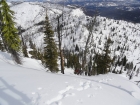
The next decision was to determine what route to take back down. Descending the ridge was not an option, mainly because of the steep slopes at the base of the ridge. We figured we could always head down the snow covered trail to the south, and then circle back into the valley west of the peak. But that could add a mile or two of extra post holing. After studying the maps and exploring the surrounding slopes, we eventually decided to head down the east ridge, and then descend toward Roaring Lakes. The slopes were still steep, but we decided it was doable. So we took off the snowshoes and started plunge stepping our way down. It was a little spooky and we could see some small slide activity around us, and even managed to kick off a few huge pinwheels of our own. Lucky for us, all went smoothly, and we made it down to the valley below, staying well clear of the corniced cliffs high above us.
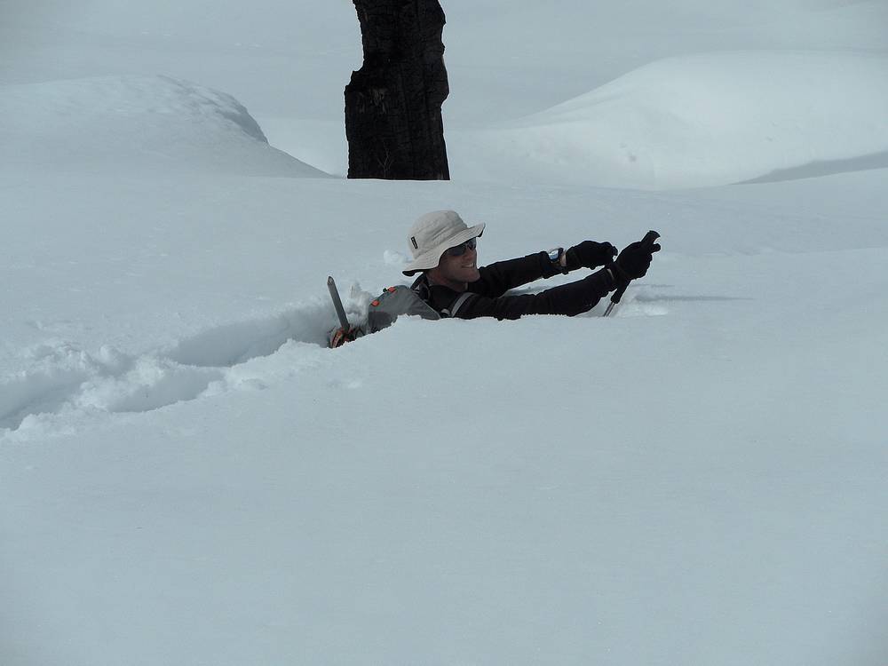
The snow got less and less supportive later in the day, and the going was slow, even while heading downhill. There was a ton of downed burned trees to navigate around and over, and the trees were often accompanied by cavities under the snow that tried to suck us under on multiple occasions. Once in the lower valley, the bare ground was a welcome relief, and we took full advantage of it. We made it back to the car after about 8 hours round trip, very tired but very satisfied with what we had accomplished. The post holing was a lot of work, but the ridge was a blast, and the views were excellent.
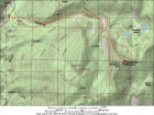
Map of the route, just under 7 miles round trip with 3700' elevation gain. |
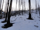
Post holing through the trees early in the hike. |

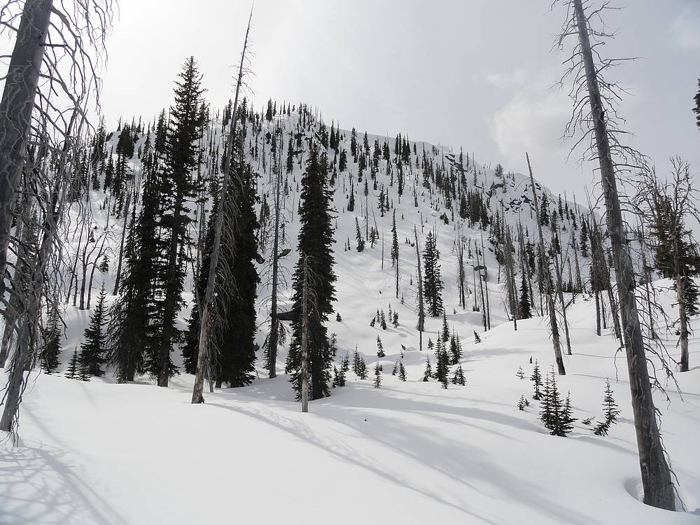
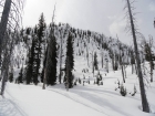
At the head of the valley, the start of the northwest ridge coming into view. |
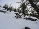
The hardest part of the day was crawling up this steep stuff to reach the ridge. |
The start of the ridge. |
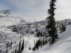
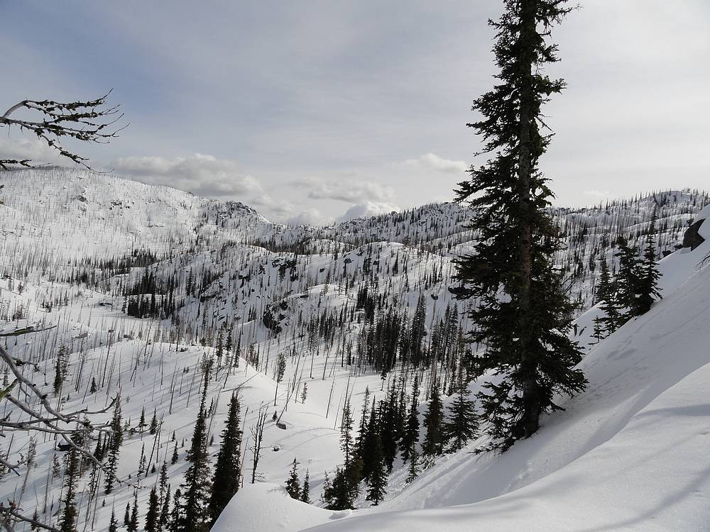
Great view of the Roaring Lakes basin. |

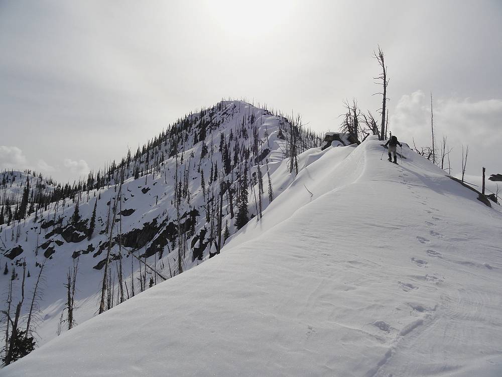
The upper section of the northwest ridge. |
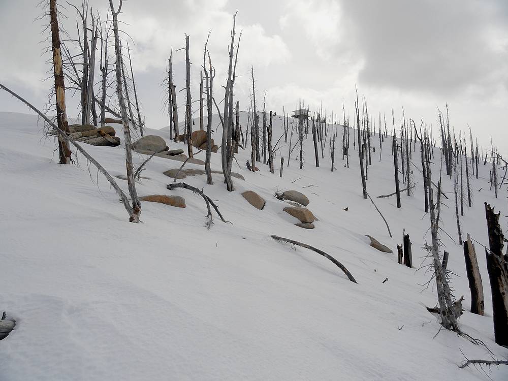
First view of the Thunderbolt Lookout. |
Thunderbolt Mountain lookout building, from the helipad. |

John pointing out peaks from the Thunderbolt lookout tower. |

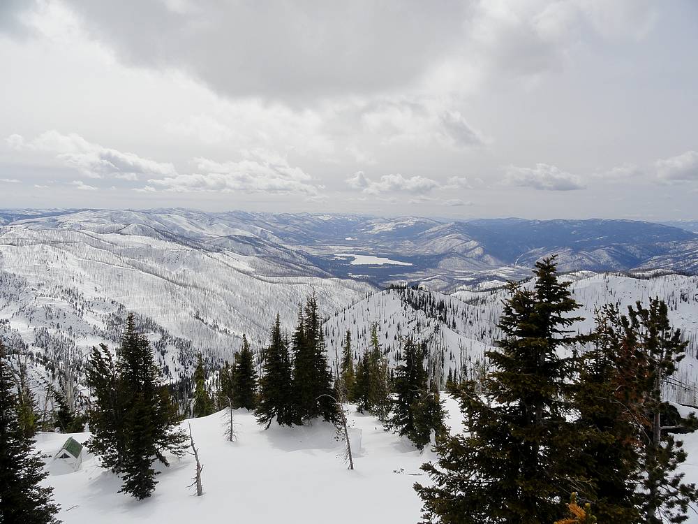
View of Warm Lake to the south. |
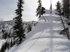
Descending the spooky east face of Thunderbolt Mountain. |
Looking up at the northeast face of Thunderbolt Mountain. |

Unexpected hole. I'm only smiling because my feet actually hit bottom. John P photo. |
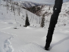
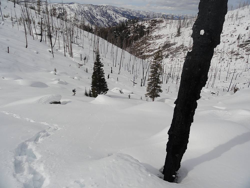
Dropping back into the Roaring Creek drainage. |
|