|
Wilson Peak and Soldier Cap are located on the fringe of southern Idaho's Owyhee Mountains, not far from the town of Melba. They are distinctly visible from the Snake River valley below. Wilson Peak has a rounded summit home to various communication towers. Soldier Cap is more attractive, with a pointy summit that makes it distinctive when viewed from a distance. The area is hot in the summer, so it makes a better destination in spring or fall.
It was a beautiful spring day. I had a narrow time window and needed to do something close to home. I had been saving Wilson Peak and Soldier Cap for just such an occasion. It took just over an hour to get from my house in south Boise to the start of the hike at the saddle on Race Horse Ridge. I might have gotten there faster, but had to stop several times for cows in the road. Lots of OHV's in the Wilson Creek area too.
From the saddle, I contoured across the hillside to the northeast, and then started hiking up the 4WD road. It wasn't long before I left most of the bellowing bovine in the background and started to hear the birds singing. There were also various desert flowers in bloom. The weather was great and I was feeling good. I followed the road to the saddle between the two peaks, then hung a left to Wilson Peak, passing small herds of cows and range horses along the way.
It took me about an hour to reach Wilson Peak, where I wandered around the summit and took in the views of the Owyhees and the Snake River plain. I decided to go cross-country on the way back down to try and stay off the road. Once back at the saddle, I took a direct route toward Soldier Cap, which gave me a chance to explore several of the rock formations along the ridge. I met up with another jeep trail along the way, and followed it to the base of the summit block. I went pretty much straight up, with a short section of rock scrambling along the way.
The views were great from the summit of Soldier Cap, and I checked out the various summit cairns before stopping for my PB&J. I was enjoying sitting out in the sun in t-shirt weather for the first time this year. Soon enough, it was time to head back down, and I descended the gentle ridge back to my car. Round trip was just under three hours of hiking.
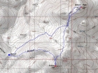
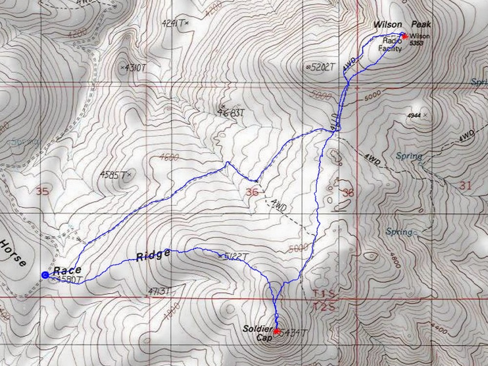
Map of the route, 6 miles round trip with 1500' elevation gain. |
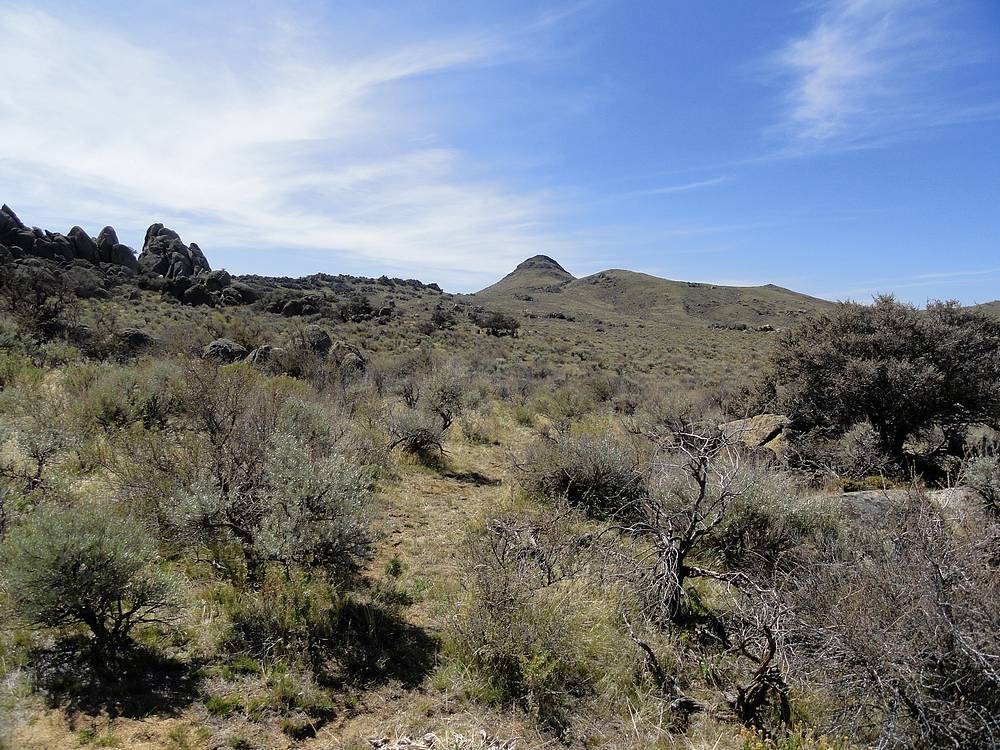
Wilson Peak from the Race Horse Ridge, start of the hike. |
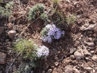
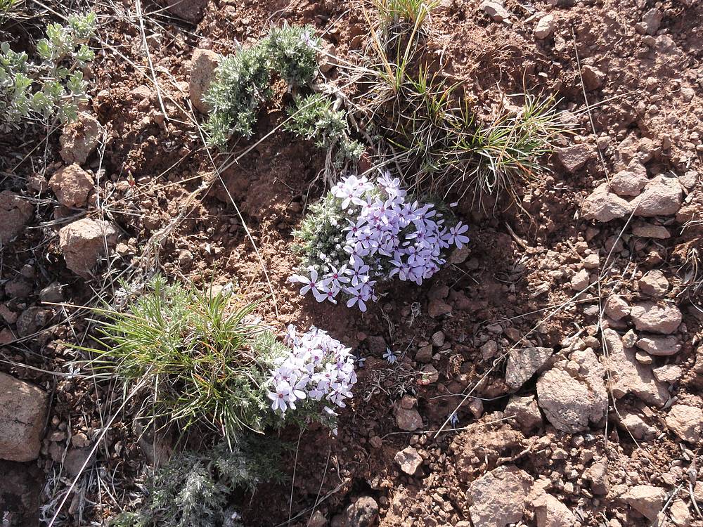
Desert flowers. |

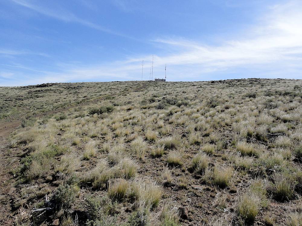
Communication towers on the summit of Wilson Peak. |

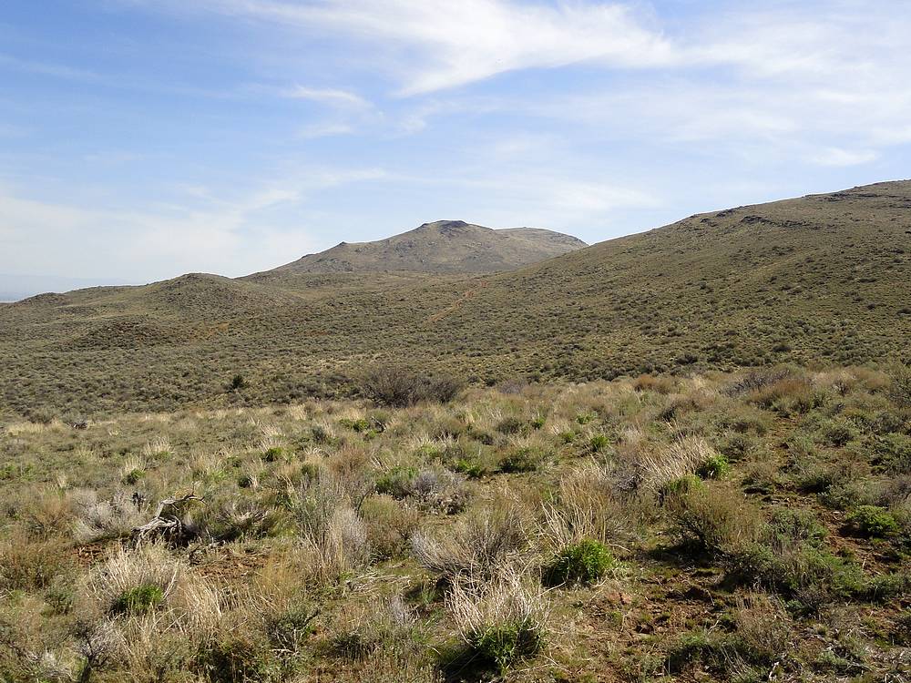
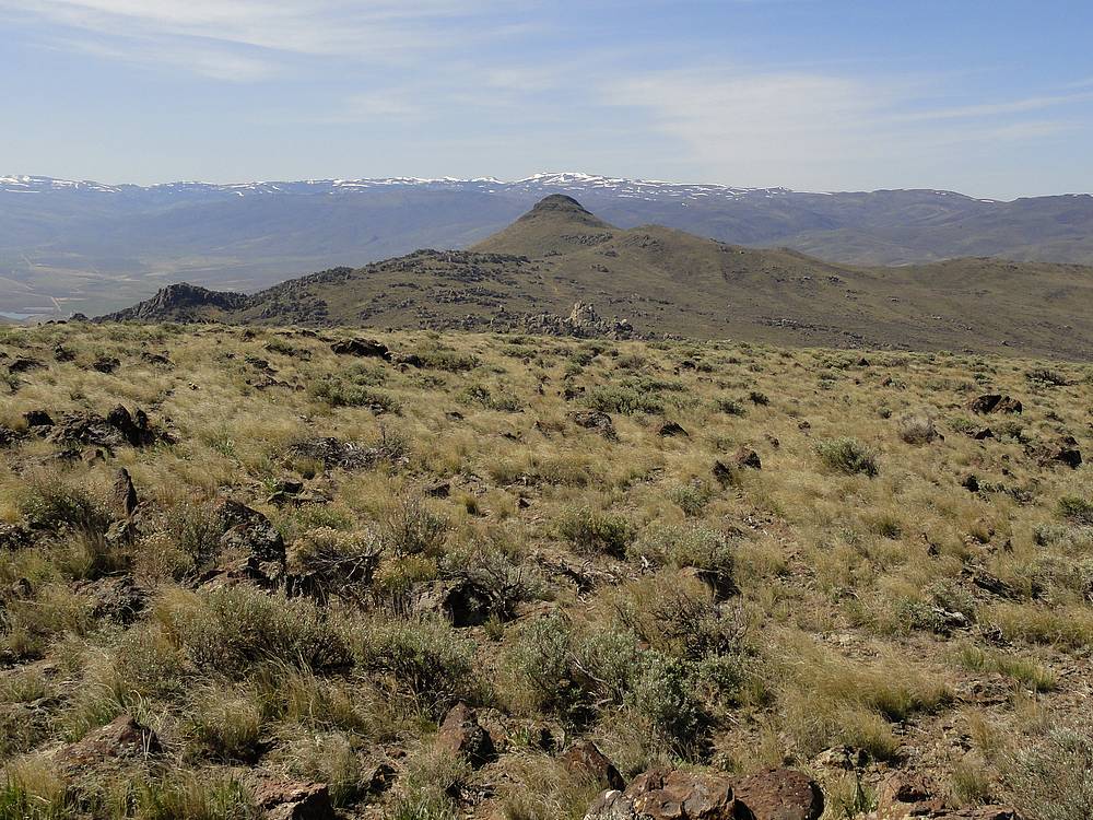
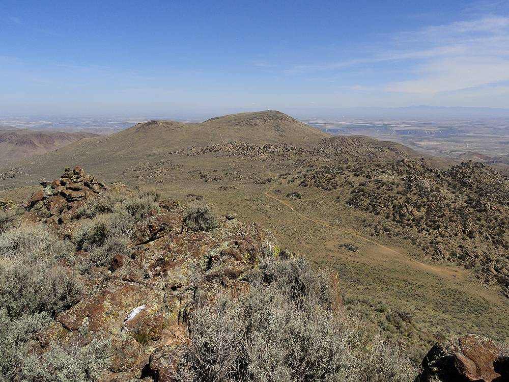
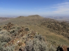
Soldier Cap from Wilson Peak. |

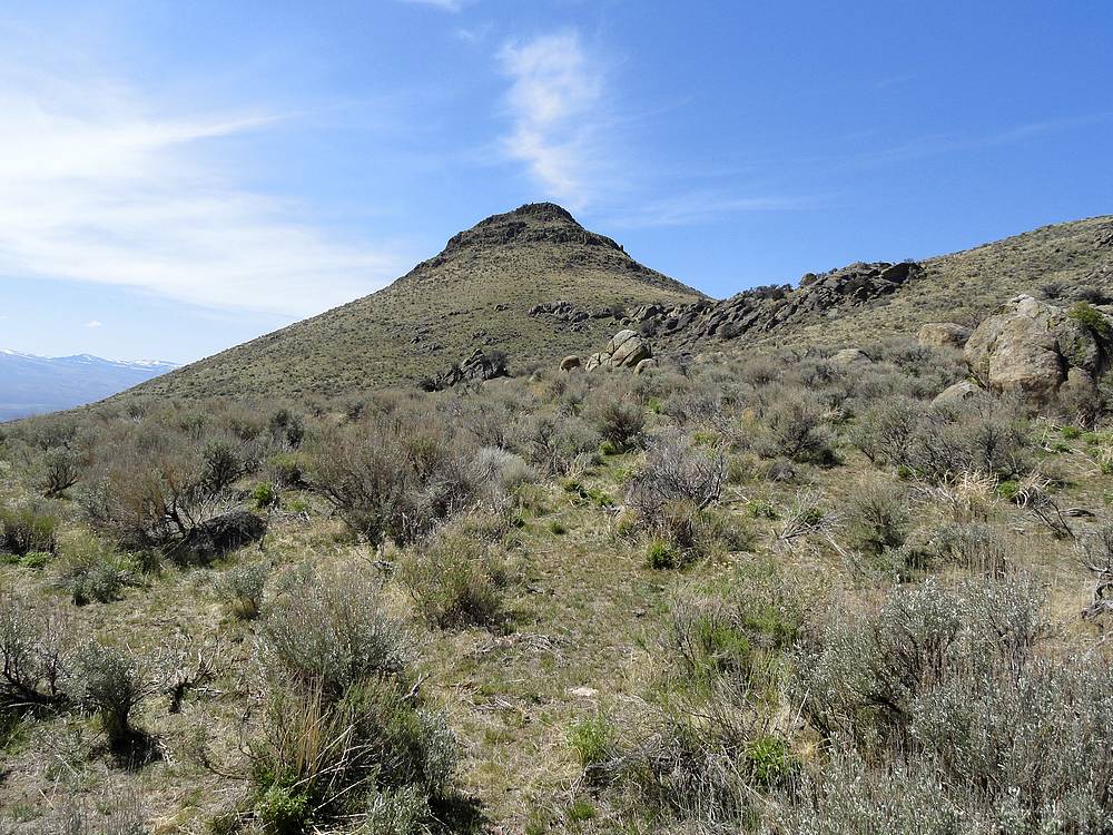
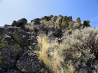
Nearing the summit block of Soldier Cap. |
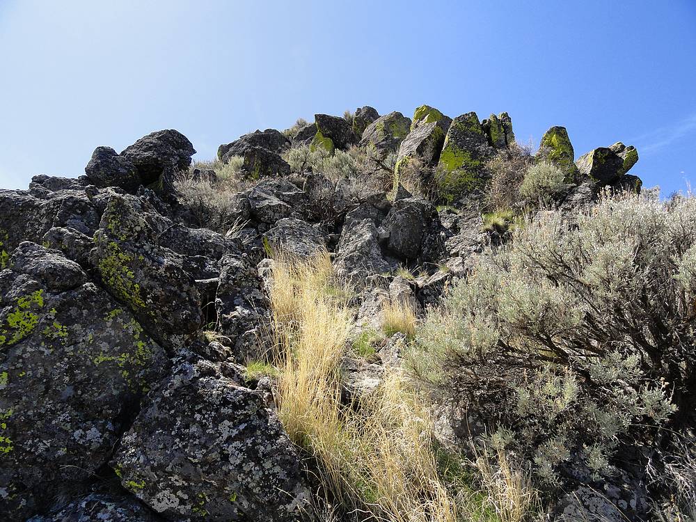
Short scramble section. |
Wilson Peak from Soldier Cap. |
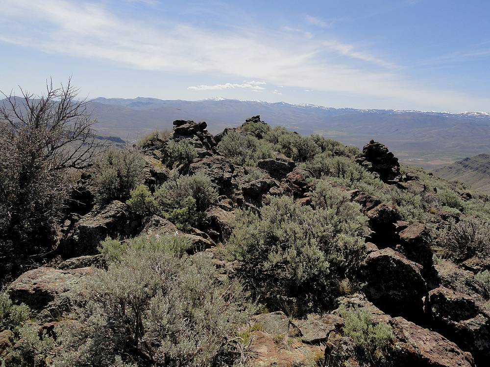
Soldier Cap summit cairns. |
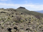
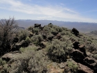
Looking back on Soldier Cap from the west. |
|