|
Far Away Mountain
Far Away Mountain is located in the heart of eastern Idaho’s Lost River Range. The range is home to several of the tallest mountains in Idaho, many of which are largely unknown and unappreciated. Far Away Mountain typifies this. With an elevation of 11930’, it’s the 14th highest peak in Idaho, but is seldom climbed. Many of its ascents have been from Dry Creek on the north side of the range. But the summit can also be reached from Upper Cedar Creek, via some bushwhacking and scree climbing. Regardless of the route chosen, the summit views are some of the best in the range, but they don’t come cheap.
After a nearly 4 hour drive from Boise to the mouth of the Upper Cedar Creek Canyon, Michael and I turned in for the night at about 10pm. The next morning we made a leisurely 7am departure from the trailhead and began our way up the obvious path on the north side of the creek. Even in July, it was a chilly morning down in the shady valley. Things got even chillier after about a half mile of hiking when we had to put on our sandals for a pair of back-to-back knee-deep creek crossings. We were later able to use a log for the third creek crossing, and then stayed on the south side of the creek for a while. In this section our focus was on dodging thorns and stinging nettles and trying to stay on the intermittent path. Long ago there had been a trail up an over to Long Lost Creek, but that was the distant past, and only traces of it remain amongst various game trails.
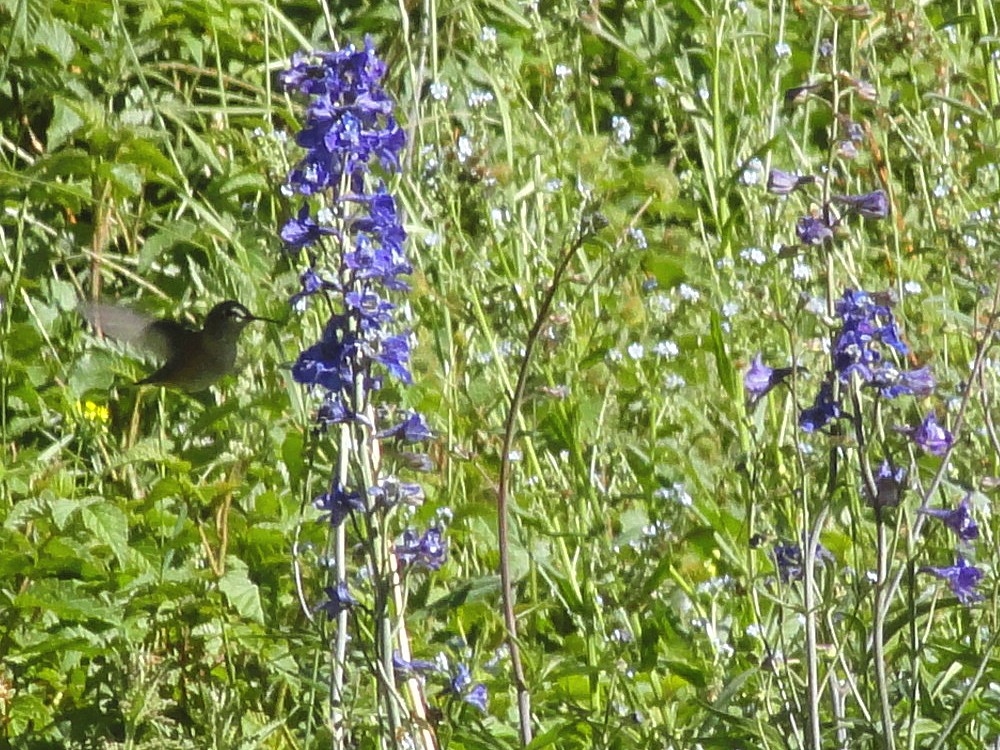
It was slow going up through the thicket at times, but we eventually made it to the 8000’ level where the valley splits. We went up the toe of the dividing ridge for a bit, and then contoured around into the north fork of the valley, before reaching the mouth of the big ascent gully at around 8500’. It had taken us two and a half hours to reach this point, and we stopped to have a snack and lather up with sunscreen. I was able to refill my water bottle in a small stream a little way up the gully, where I was buzzed by a couple hummingbirds attracted to the abundant wildflowers by the stream. Very cool.
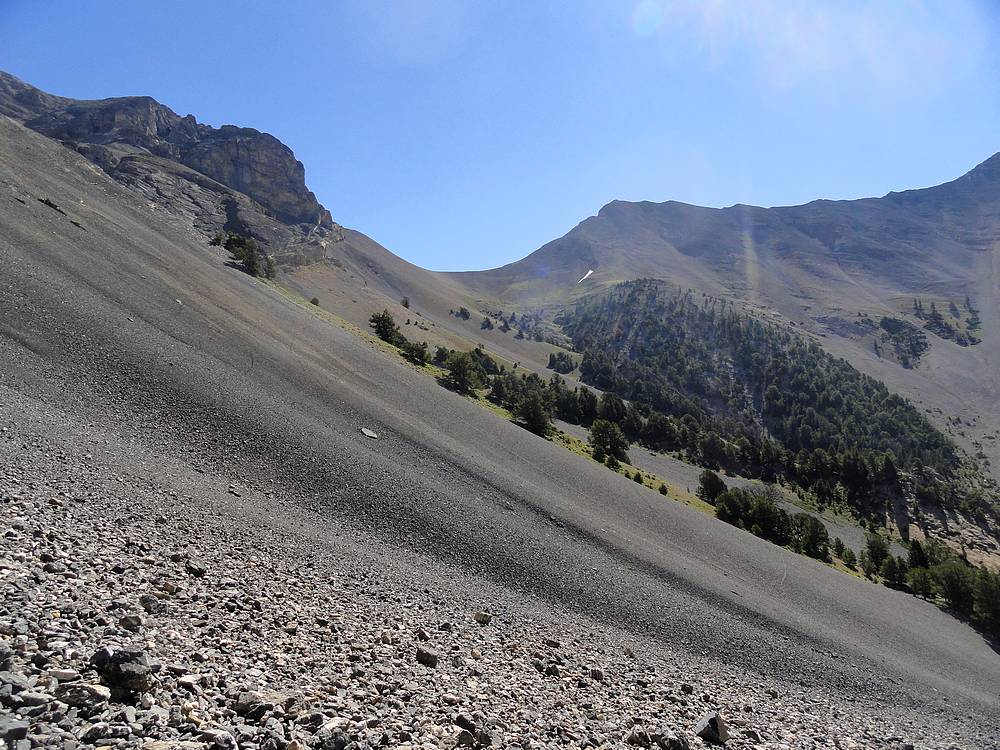
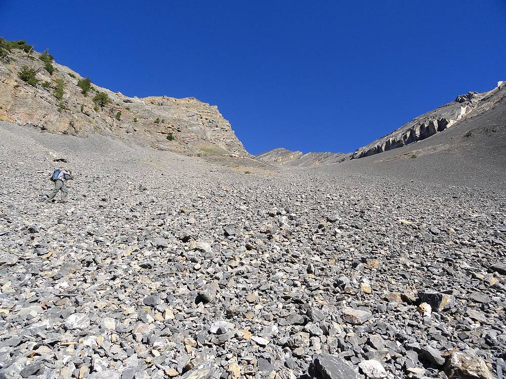
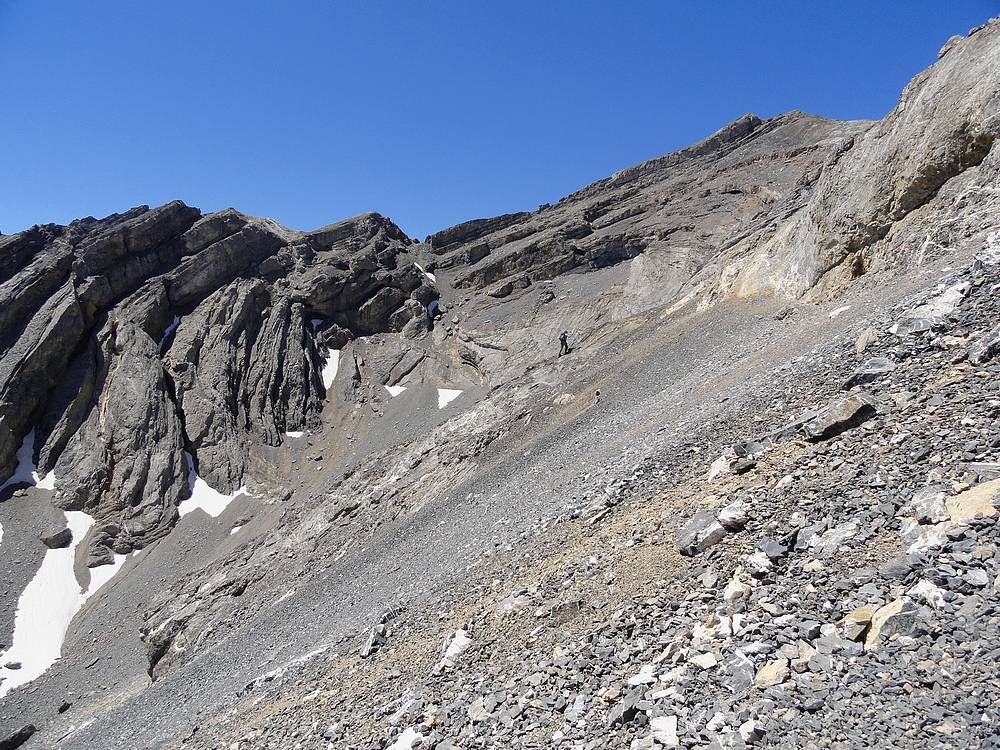
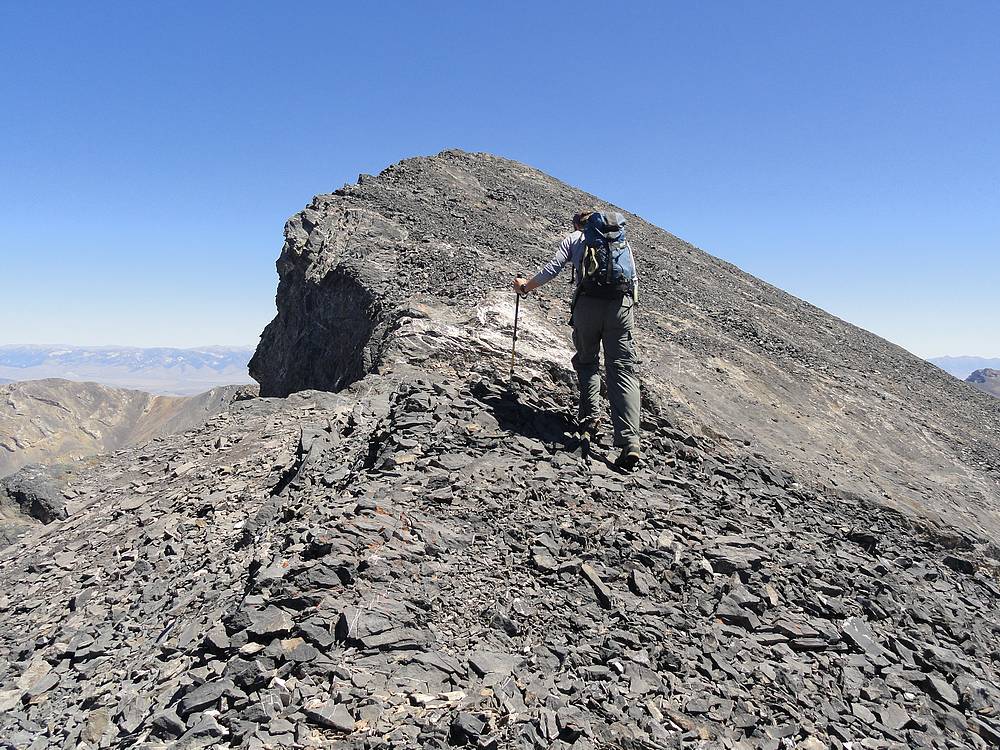
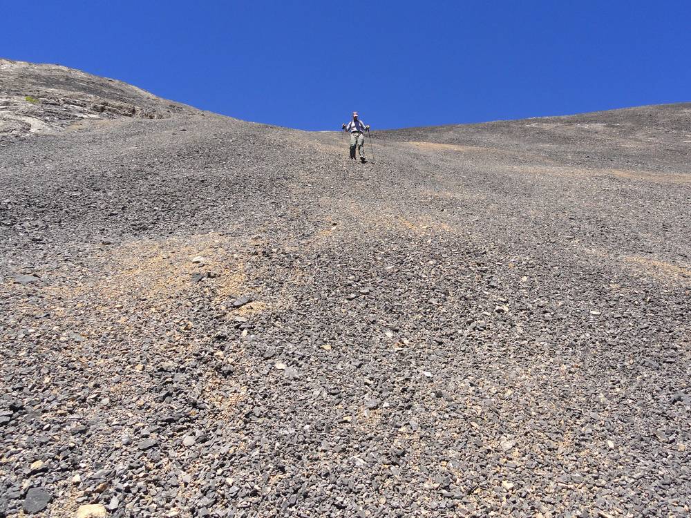
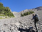
The talus above us looked nasty, but fortunately it was more stable than it looked. We made good time up to the 10000’ level, where it became more of a boulder field. Above us we could see sandy scree leading to the summit. The work ahead didn’t look fun, but we kept plodding along in the center of the broad gully, with some cool looking cliffs staring us in the face. Soon we turned away from the cliffs, and the scree slog began in earnest starting at around 10700’. There was occasional stable rock amidst the scree, and we did our best to “connect the dots” through the loose rock. We climbed together for a while, then later split up to prevent kicking loose rock on each other. I think Michael’s line was slightly more stable than mine, but there isn’t any really good way up that we could find.
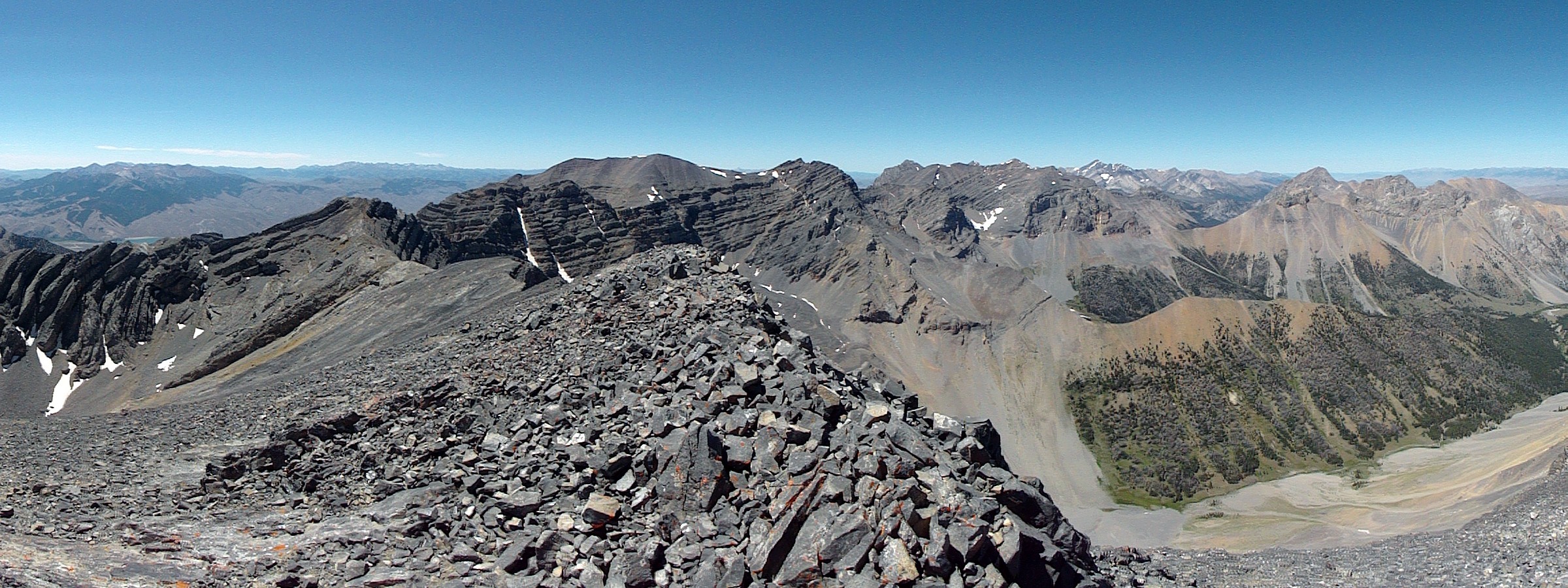
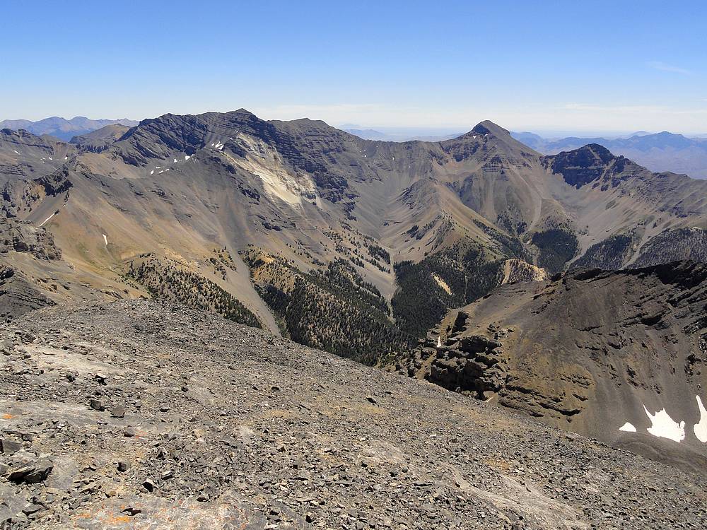
It was a welcome relief when we reached the ridgeline just below the summit, and it was just a quick stroll from there. It felt great to reach the summit. The weather was perfect, and the views were excellent. With its location in the center of the range, the summit made for a commanding viewpoint to take in our surroundings. Some of the best views in the state if you ask me. But we hadn’t exactly set any land speed records on the way up, and the clock was ticking, so we decided it was time to head down.
The down climb was no picnic. We did a bit of scree skiing where possible, but in many places it wasn’t deep enough, so the descent had our constant attention to keep from sliding down the rocks. Further down, the more stable talus wasn’t great for descending either, and each step had to be calculated to keep from turning an ankle. It was a relief to reach to valley floor and stop for a break in the shade. From there we did our best to retrace our steps back through the brush. It took almost as long to hike down the creek bottom as it had to hike up. The car was certainly a welcome sight after almost 11 hours of bushwhacking and scree slogging. Michael and I definitely felt we had earned our summit for the day.
This trip report may not make Far Away Mountain seem like a destination of choice. But I actually wouldn’t hesitate to recommend it to someone seeking solitude, a great adventure, and great views.
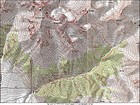
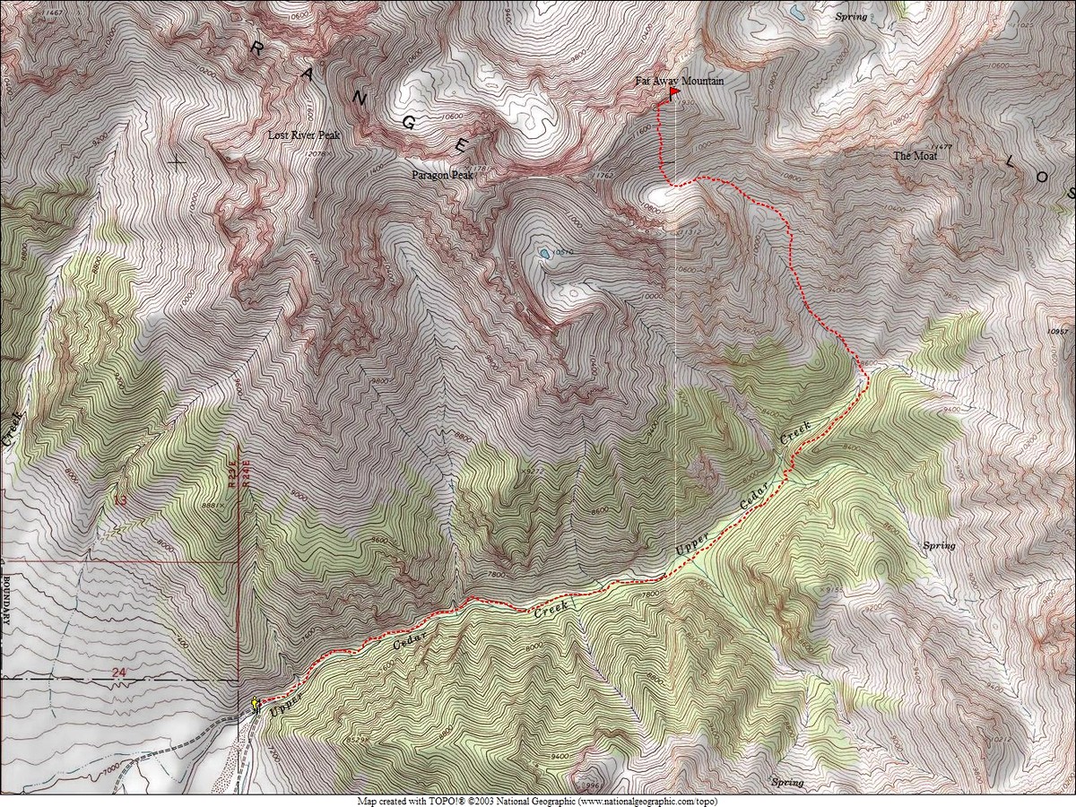
Map of the route, 11 miles round trip and 4900' elevation. |
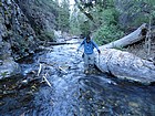
Chilly crossing of Upper Cedar Creek. |
This hummingbird buzzed me while I was getting water. |
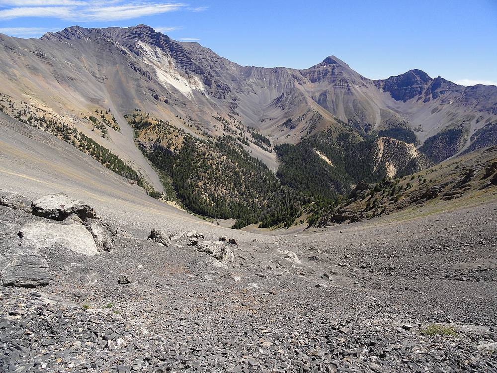
View west of the pass leading up and over to Long Lost Creek. |

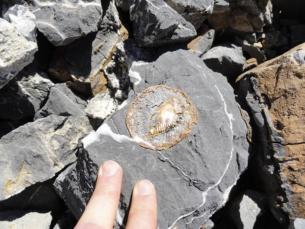
There are numerous fossils in the area. |
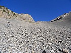
Talus fun. |
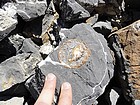
There are numerous fossils in the area. |
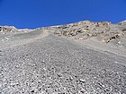
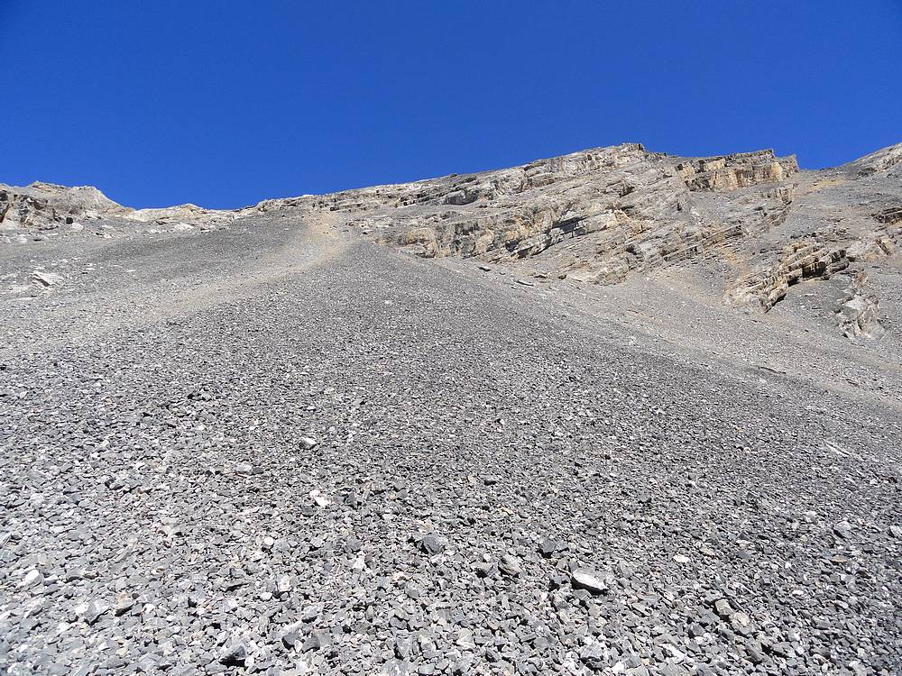
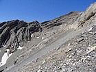
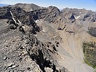
Lots of loose rock guarding the south face of Far Away Mountain. |
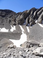
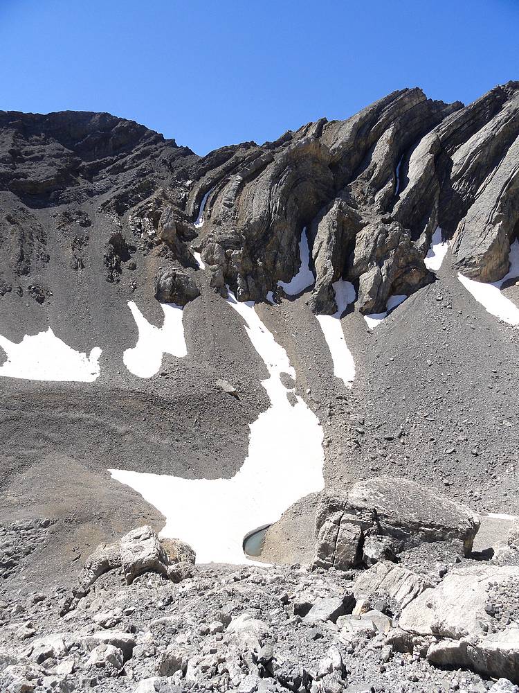
Small tarn we passed at about 10700'. |
Michael found a line that was a bit more stable than mine. |
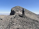
Nearing the summit of Far Away Mountain. |
View of Mount Borah in the distance to the northwest. |
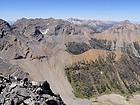
Summit view southeast of USGS Peak, Mount McCaleb, and Little Mac. |
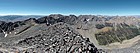
Panoramic view from the summit of Far Away Mountain. |

The verdant Dry Creek drainage. In the background are Triple Peak, Mount Corruption, The Cleft, & True Grit. |
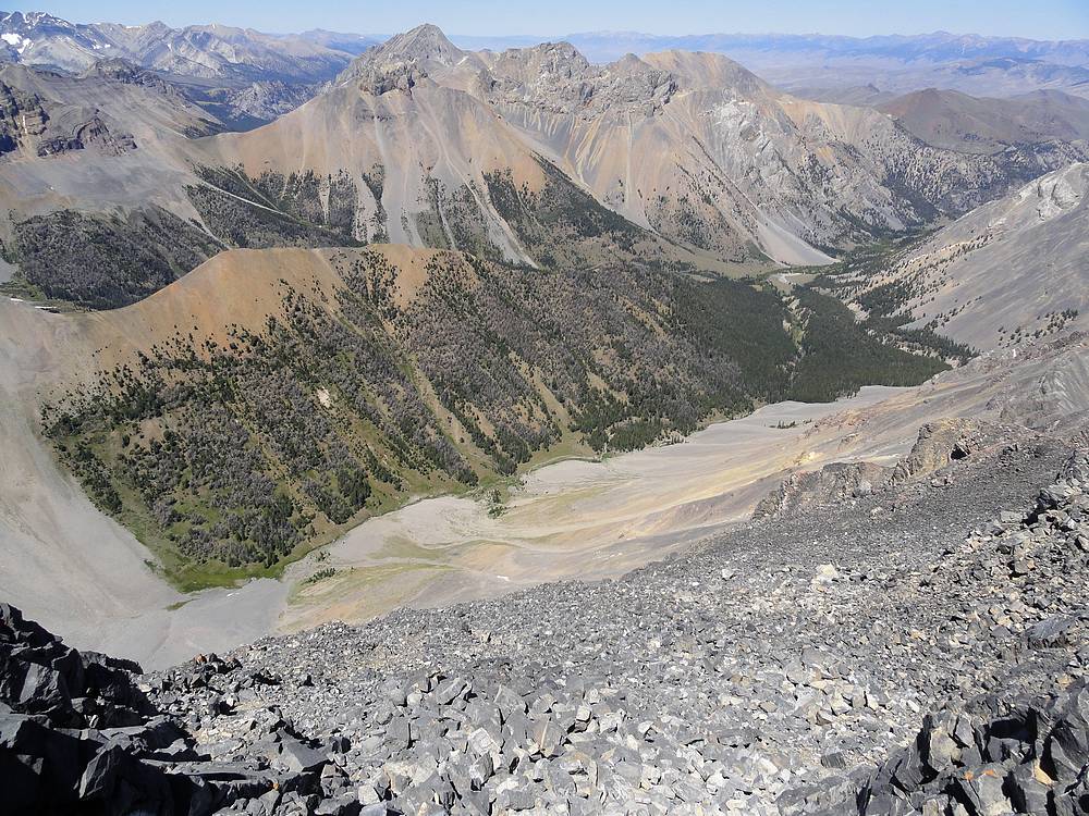
Lost River Peak and Mount Breitenbach from the summit of Far Away Mountain. |

Michael trying to make the best of our scree descent. |

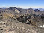
Dropping back into the Upper Cedar Creek drainage. USGS, McCaleb, & Little Mac in the background. |
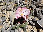
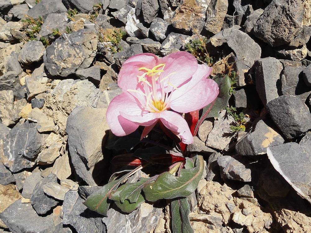
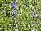
Dessert flower growing in the rocks. |
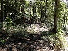
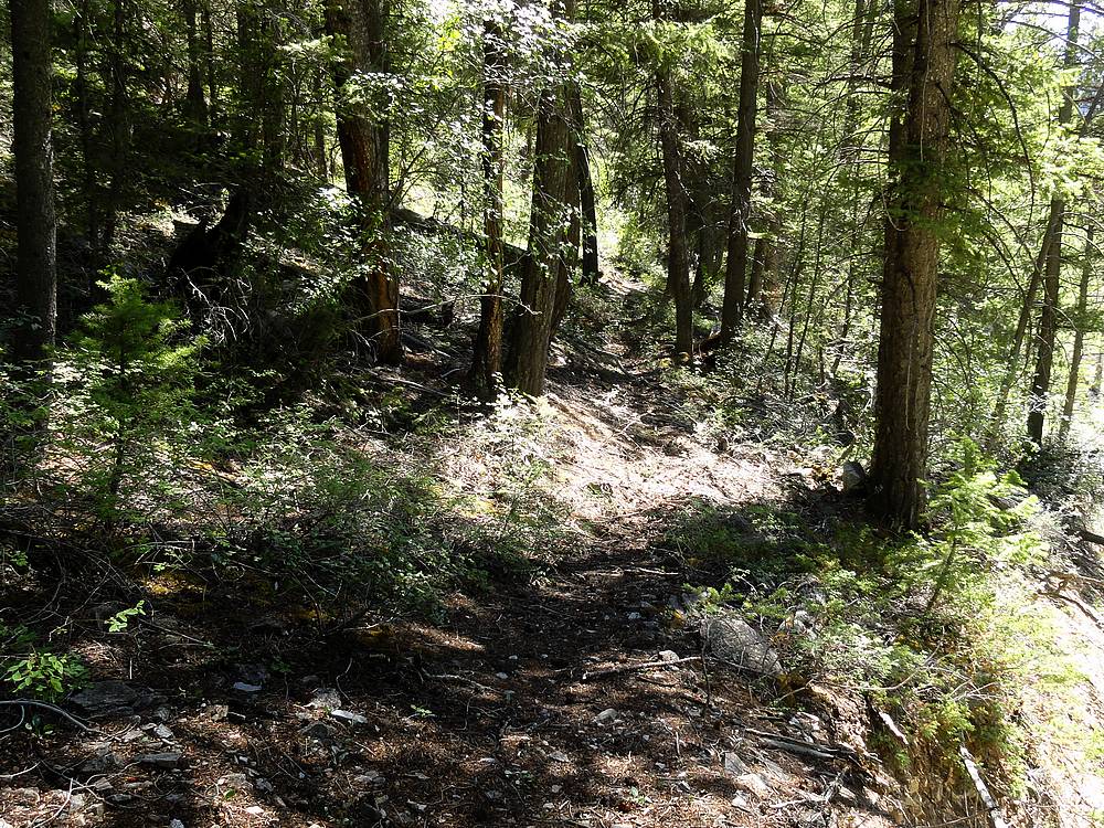
One of the more discernable sections of trail along Upper Cedar Creek. |
|
|
|