|
Buttercup Mountain
Buttercup Mountain is located in central Idaho’s Smoky Mountain, near Hailey. It’s not the tallest peak in the range. But in spite of its less than rugged sounding name, Buttercup is a pretty impressive peak when viewed from the Willow Creek valley to the southwest.
There are several route possibilities for Buttercup Mountain. For our climb, JohnF had scoped out the southeast ridge. To make things interesting, we’d have to climb up and down over a few smaller ridges on the north side of Cherry Creek to avoid a small section of private ground at the mouth of the drainage. We started our hike just after Cherry Creek Road, at the end of a short jeep trail.
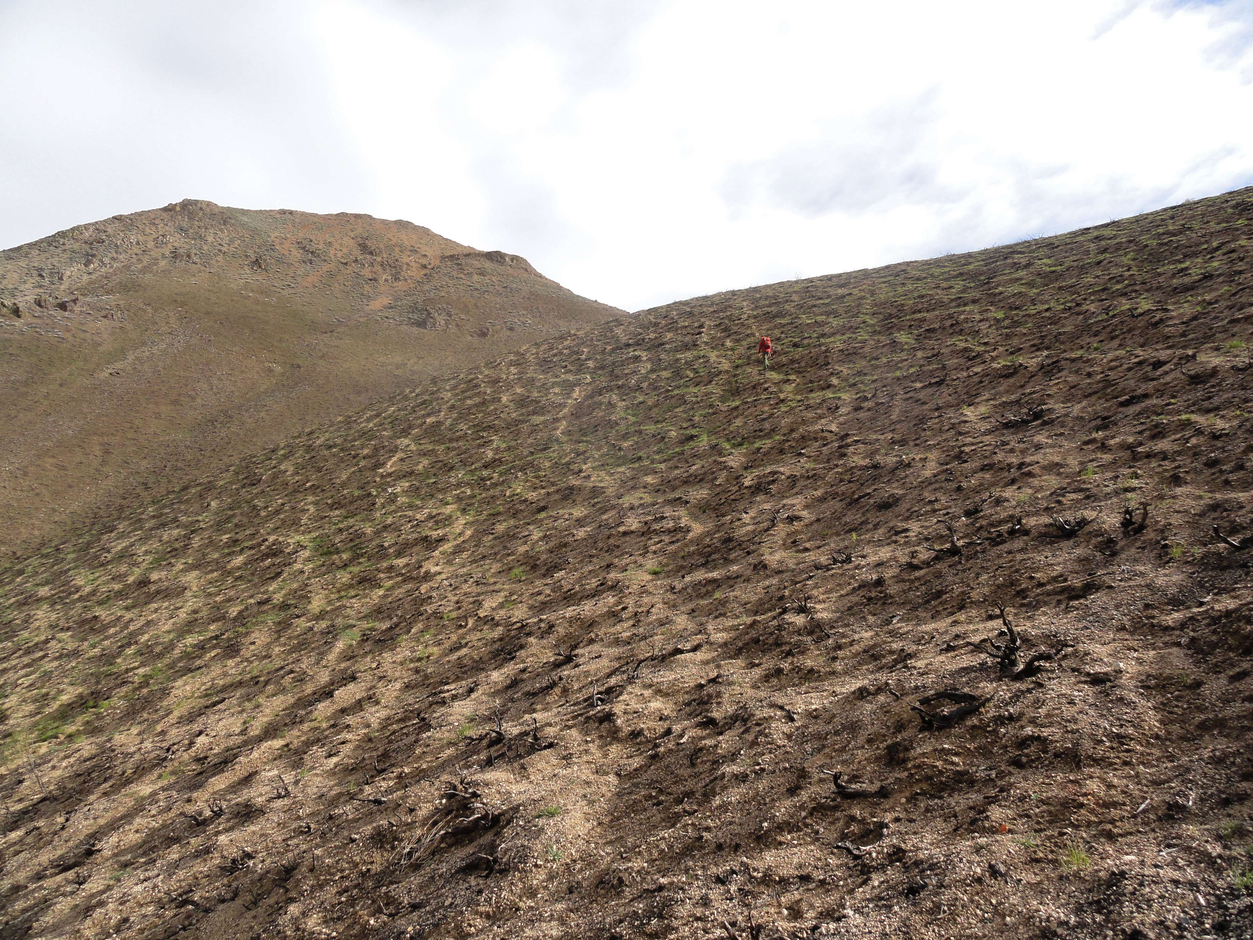
There was a lot of charred earth to cover in the early part of the hike. Last year’s Beaver Creek fire had burned the sagebrush all the way to the ground. New grasses are starting to take root though, and the lack of brush made for fast travel. JohnF set a steady pace, but Splattski and I were feeling the effects of a big day yesterday. Fortunately the weather was nice, so we were enjoying ourselves.
At Point 6860’, we found a great elk trail side-hilling around the slopes into the upper Cherry Creek drainage. It was freshly trampled by a good sized herd that we’d seen earlier in the morning. We made good time along the trail, and even got to enjoy a nice forest section that was spared from the fire.
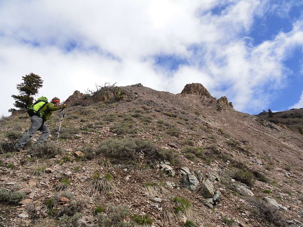
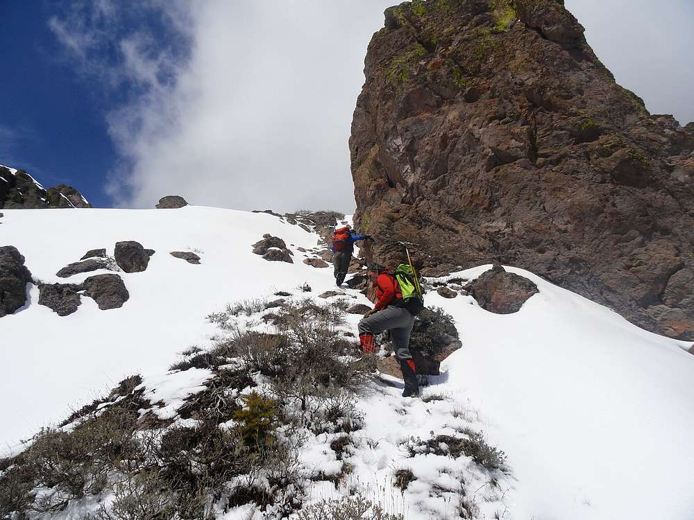
After a couple hours and a few miles of hiking, we stopped for a snack by the creek at the 7000’ level. From here, we started a steep climb up to the ridge. Part way up, we had to negotiate around a rocky tower surrounded small gullies full of gravel and ice. Fun!
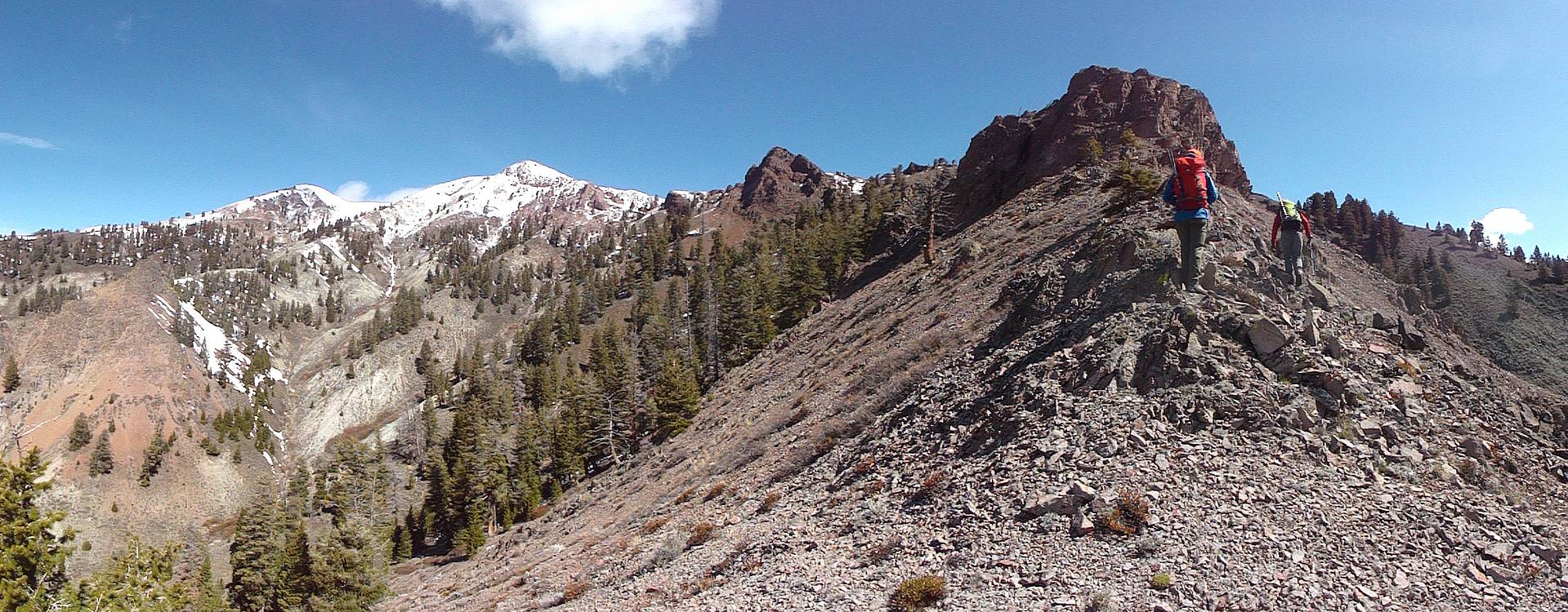
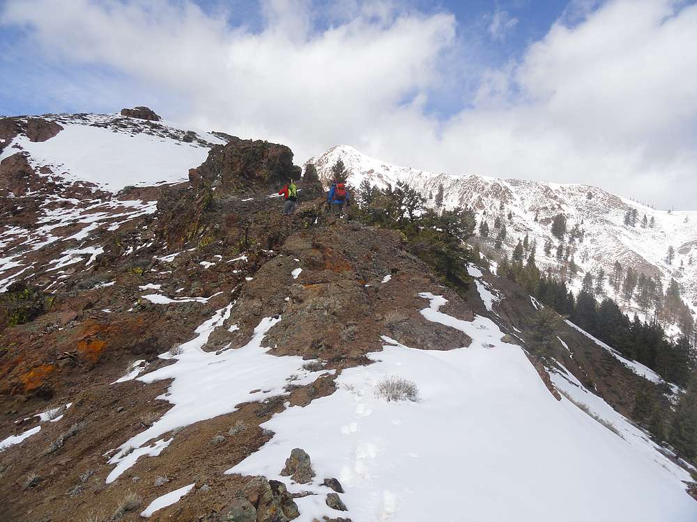
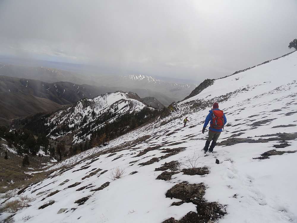
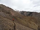
Once we gained the upper ridgeline, we were treated to some great views of the Pioneers to the east, and Kelly Mountain to the south. We could see the summit of Buttercup in the distance, and made steady time along the ridge, with just a couple scrambly sections along the way. The wind was blowing pretty hard, so we stopped for lunch a couple hundred feet below the summit behind the shelter of some rocks.
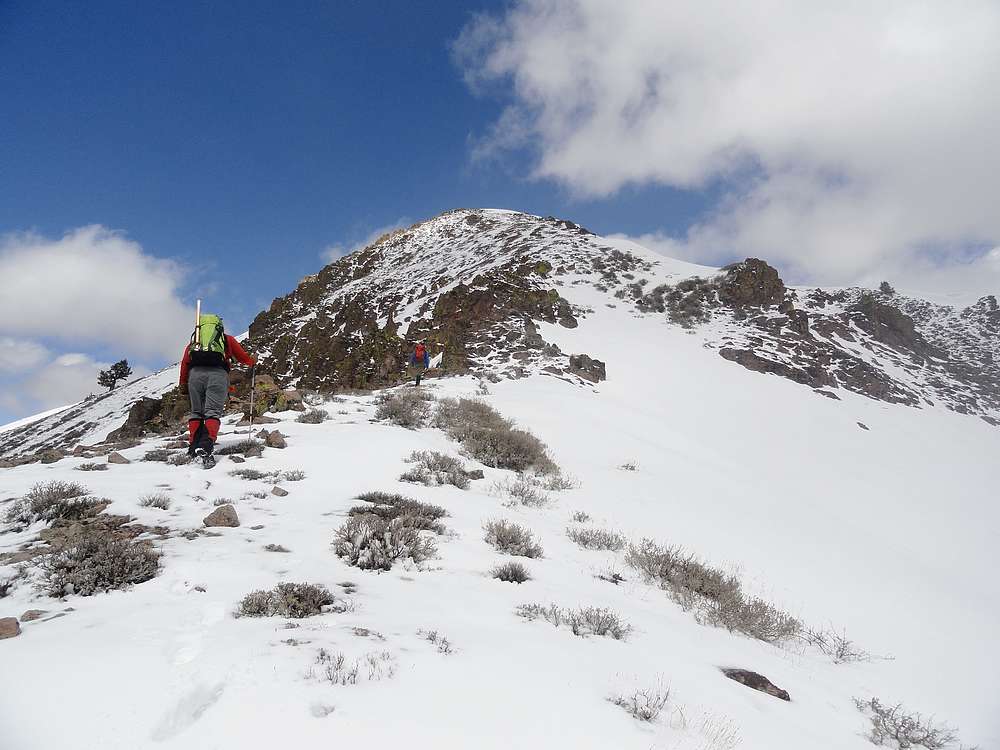
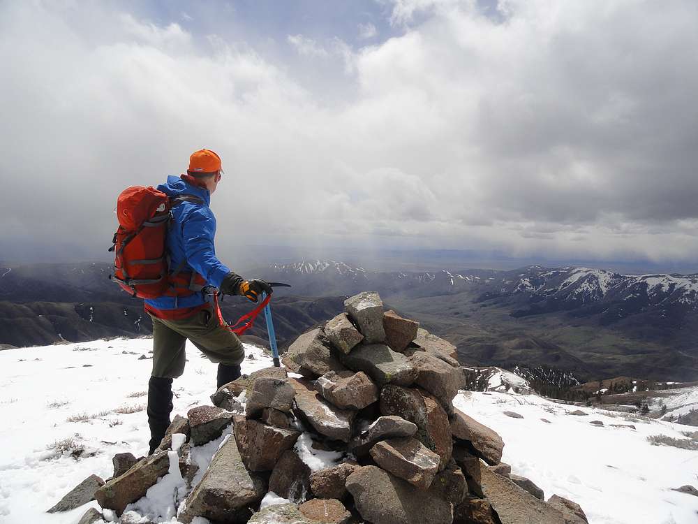
After our lunch break, our energy levels were renewed, and we made it to the top without incident. But once on the summit, we could see some black clouds coming our way. Naturally, a loop hike was planned. (After all, we were with Splattski), so we headed down the southwest ridge. We skirted around Pt 8803’ to avoid a nasty looking cornice, then continued down the ridge just south of Nebraska Creek.
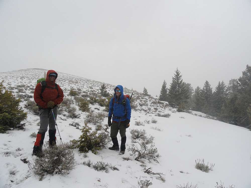
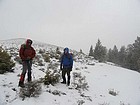
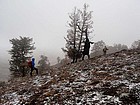
It wasn’t long before we were fully engulfed in the storm. There was nowhere to hide, so we buttoned up and continued on down into the fog, with plenty of sideways blowing snow and hail along the way. Since we were on our way down, the storm just added to the adventure. The terrain got more mellow as we got lower, and soon enough the clouds were gone and we could see the rest of the route in front of us. There were lots of bumps along the ridge that our tired legs weren’t looking forward to climbing. Fortunately, there were numerous game trails that weaved their through the bumps on the ridge and kept the uphill to a minimum.
Soon enough, we were back the rig. In just over 7 hours we had covered over 9 miles and 4000’ elevation gain. It was a very fun peak in a new area for me. Good scenery, good company, good times!
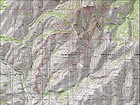
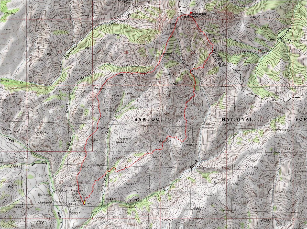
Map of our route, just over 9 miles and 4000' elevation gain round trip. We went counterclockwise. |
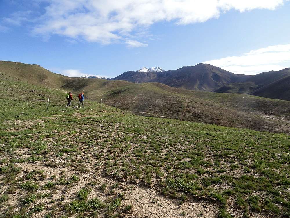
Start of the hike, with Buttercup in the distance. Stay above the fence marking the private property boundary. |
Hiking across fire scarred slopes. |
We followed this impressive elk trail into the upper Cherry Creek drainage. |

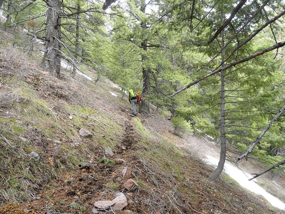
Nice to get into the forest, away from the burned area. |
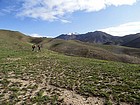
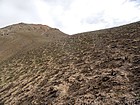
Splattski climbing toward Buttercup's southeast ridge. |
JohnF on a scramble section. |

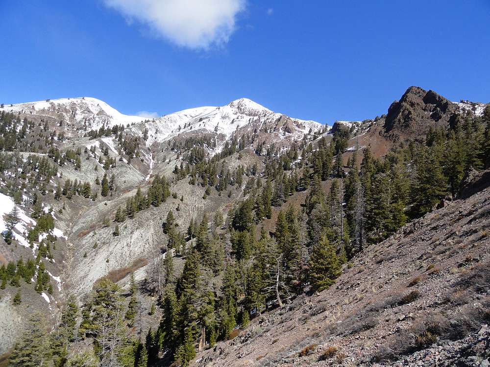
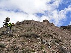
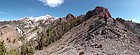
View of Buttercup Mountain from across the upper Cherry Creek drainage. |
Panoramic view on our way up. |
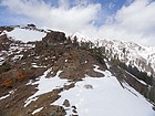
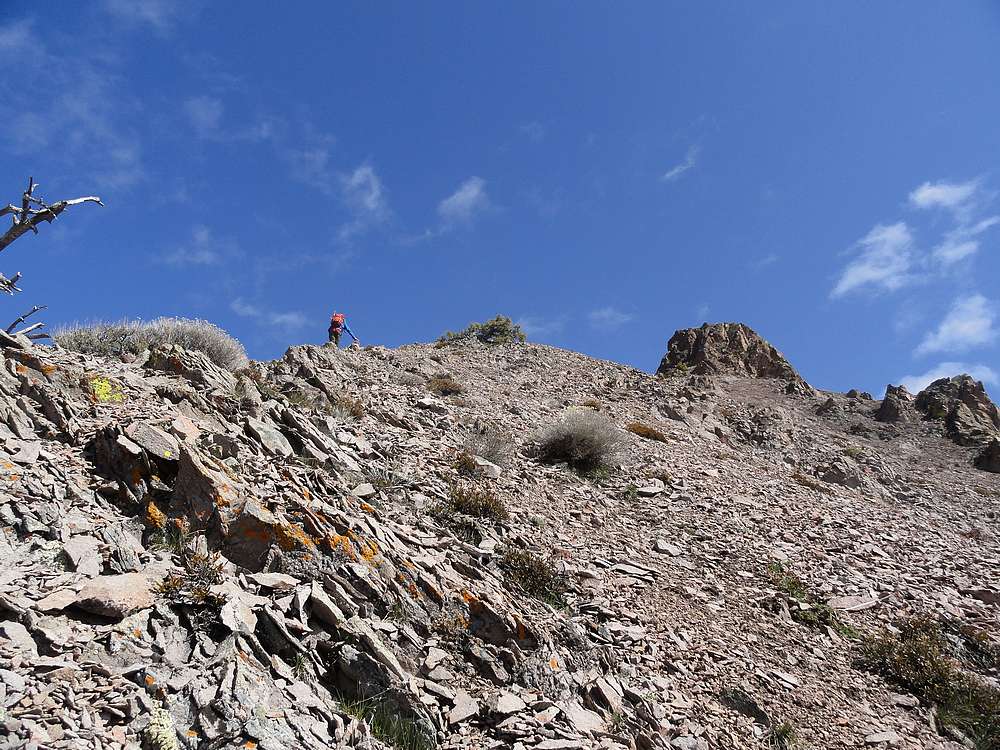
Finally on the southeast ridge proper. |
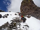
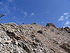
Crux of the southeast ridge route. |
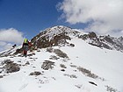
Final section below the summit. |
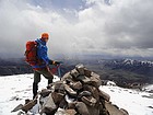
JohnF eyeing rainclouds to the south. |
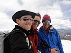
Dave, Splattski, & JohnF on the summit of Buttercup Mountain. |

Starting our descent of the southwest ridge. Here comes the storm. |
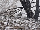
Snow blowing sideways on our way down. |
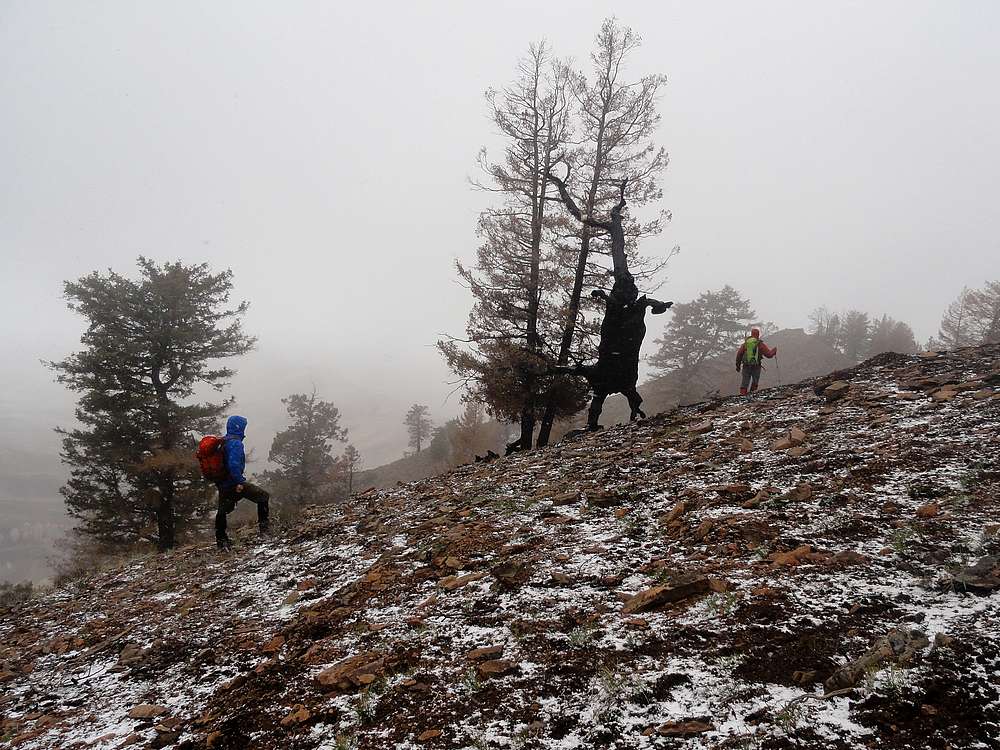
Rearing elephant on our way down. (Or maybe it was an old burned snag.) |
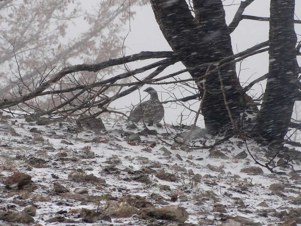
Grouse taking shelter from the storm. |
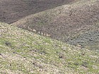
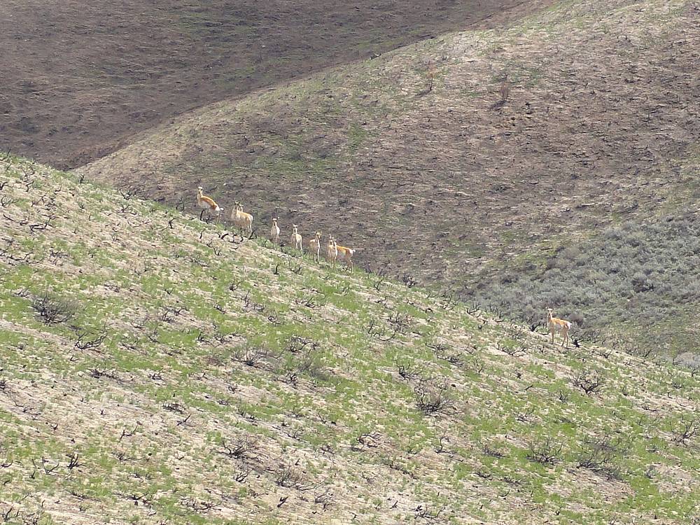
Pronghorn herd we saw on our way back down. |

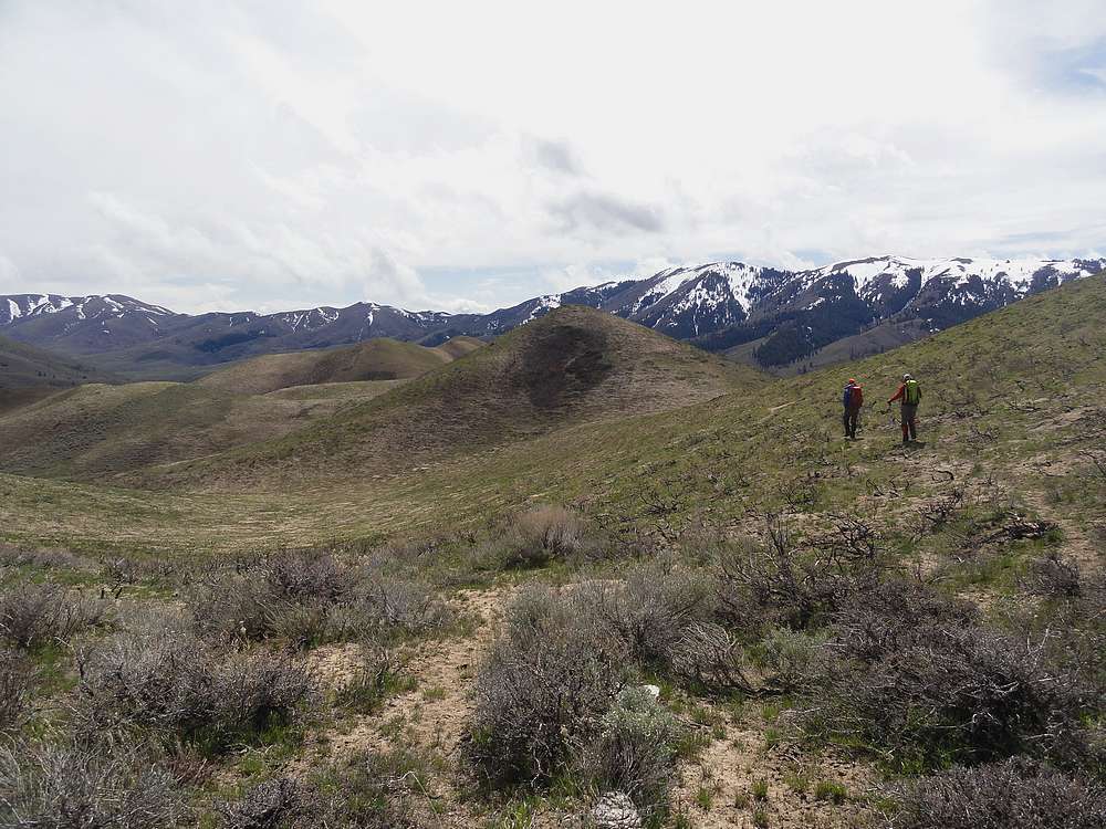
We were able to follow game trails weaving through various bumps on the southwest ridge. |
|