|
Bald Mountain
Bald Mountain
Elevation 5122'
A great snowshoe climb near Garden Valley
There are about twenty different peaks in Idaho named “Bald Mountain”. This particular one is located above the South Fork Payette River, near Garden Valley. This is a fairly popular summer hike, with a trail making its way up Station Creek from the South. But it is also very doable as a winter snowshoe climb. It’s a great place to go if you want to see a lot of wildlife and see some pretty good scenery too.
Our four-man team would consist of Michael, Splattski, JJ, and myself. We were looking to burn off some holiday pounds, and start the New Year off right with a good snowshoe climb. The drive from Boise took just over an hour, and we were on our way by 8:30am. It was a less-than-balmy five degrees as we departed from the parking lot of the Ranger Station. We’d seen a group of hunters leaving the trailhead and heading up the main trail just in front of us. But we soon found some snowshoe tracks leading up the ridge east of the creek, so we were able to give them some room. Surprisingly, the tracks lasted for almost a mile, which helped us make good time up to the ridge.
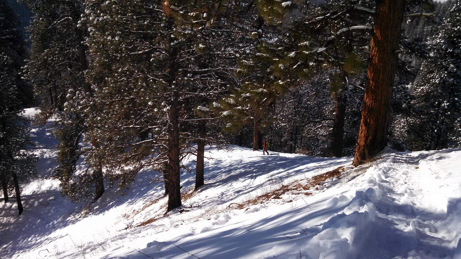
It was pretty chilly as we made our way up through the shady ponderosa pine forest, but the exertion kept us from getting too cold. There were tons tracks from elk, deer, and even wolf crisscrossing the ridge as we climbed. The summit came into view from a distance, but the ridge went north for a while before heading back southeast toward the summit. As we got higher, the clouds lifted and the sun came out. There was minimal wind, which made for great conditions as we approached the highpoint.
One on the summit, we layered up to stay warm while eating lunch and soaking in the views, which were very nice. We had a great vantage point to study the surrounding mountains, as well as the valley a couple thousand feet below us.
During the trip back down, we just retraced our path back down the ridge, enjoying the views as we went. It has been a fun day in a new area. The climb took us just over five hours to cover seven miles and 2500’ of elevation gain round trip.
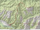
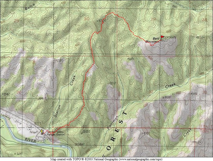
Map of the route, 7 miles and 2500' elevation gain, round trip. |
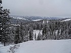
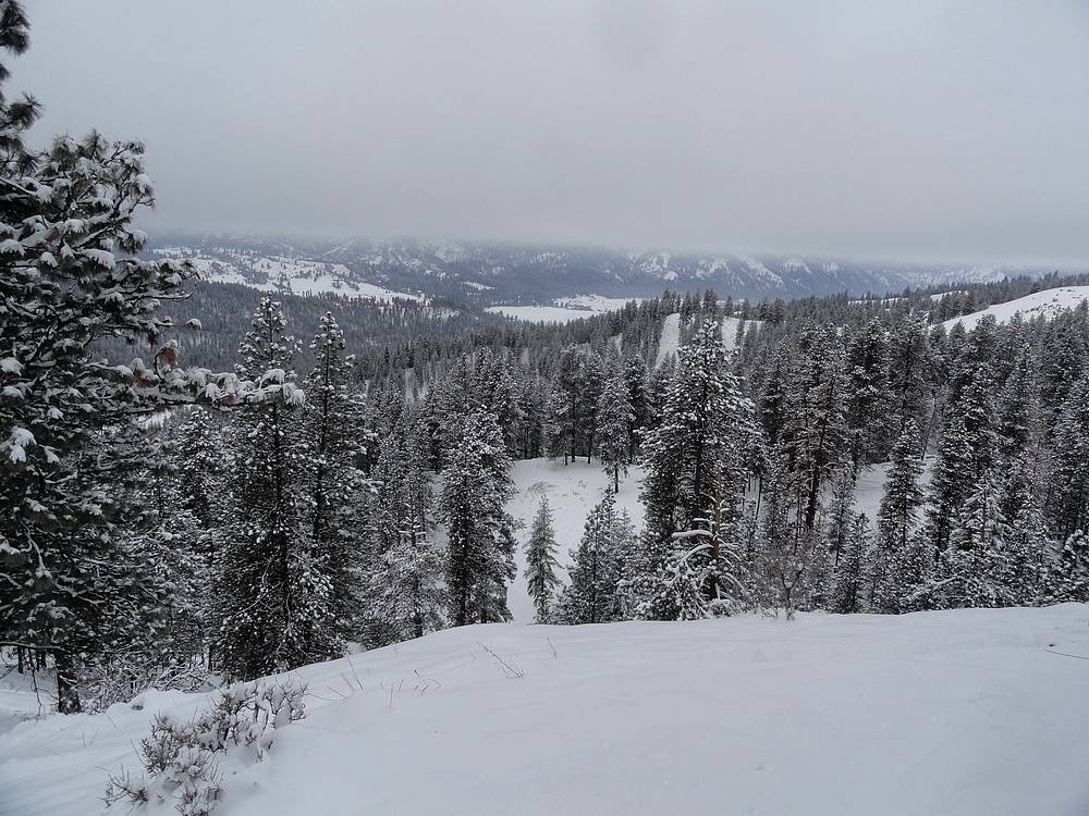
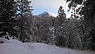
It was little cloudy at the start of the day. |
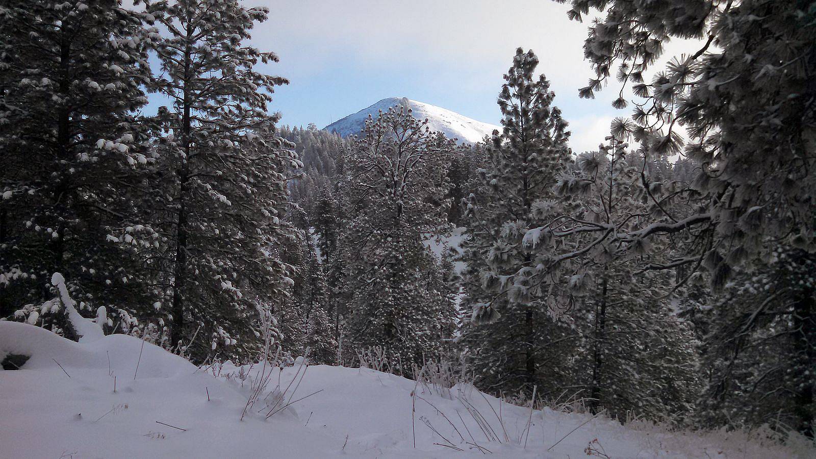
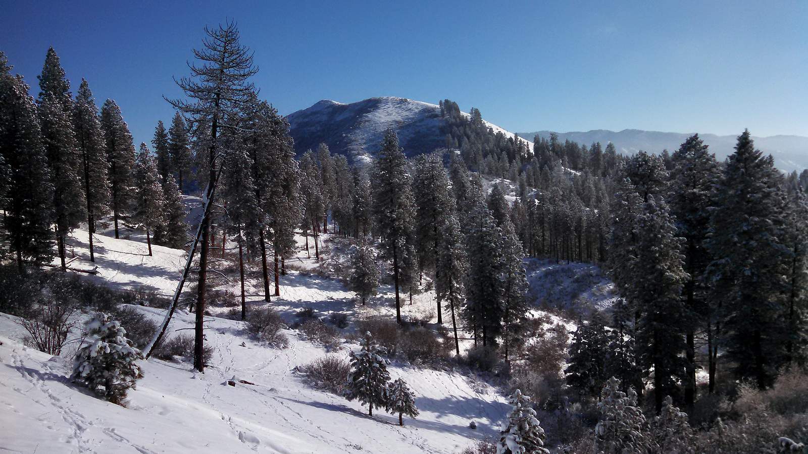
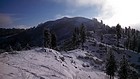
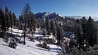
Early view of Bald Mountain. |
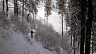
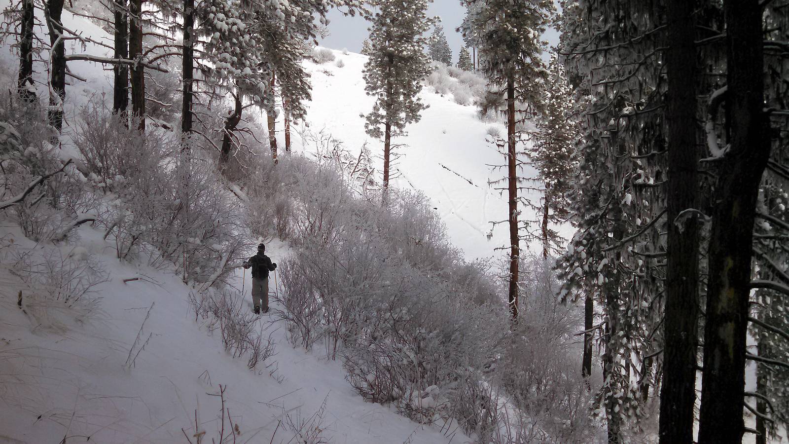
Side-hilling through some brush. |
The ridge leading to Bald Mountain. |

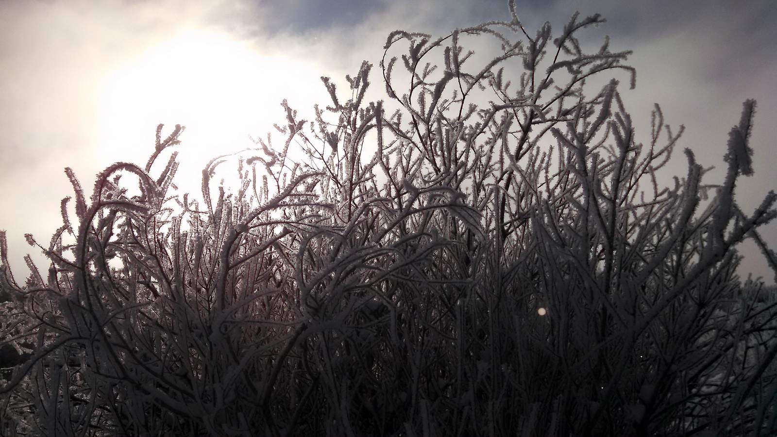
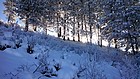
Frosty bushes in the sun. |
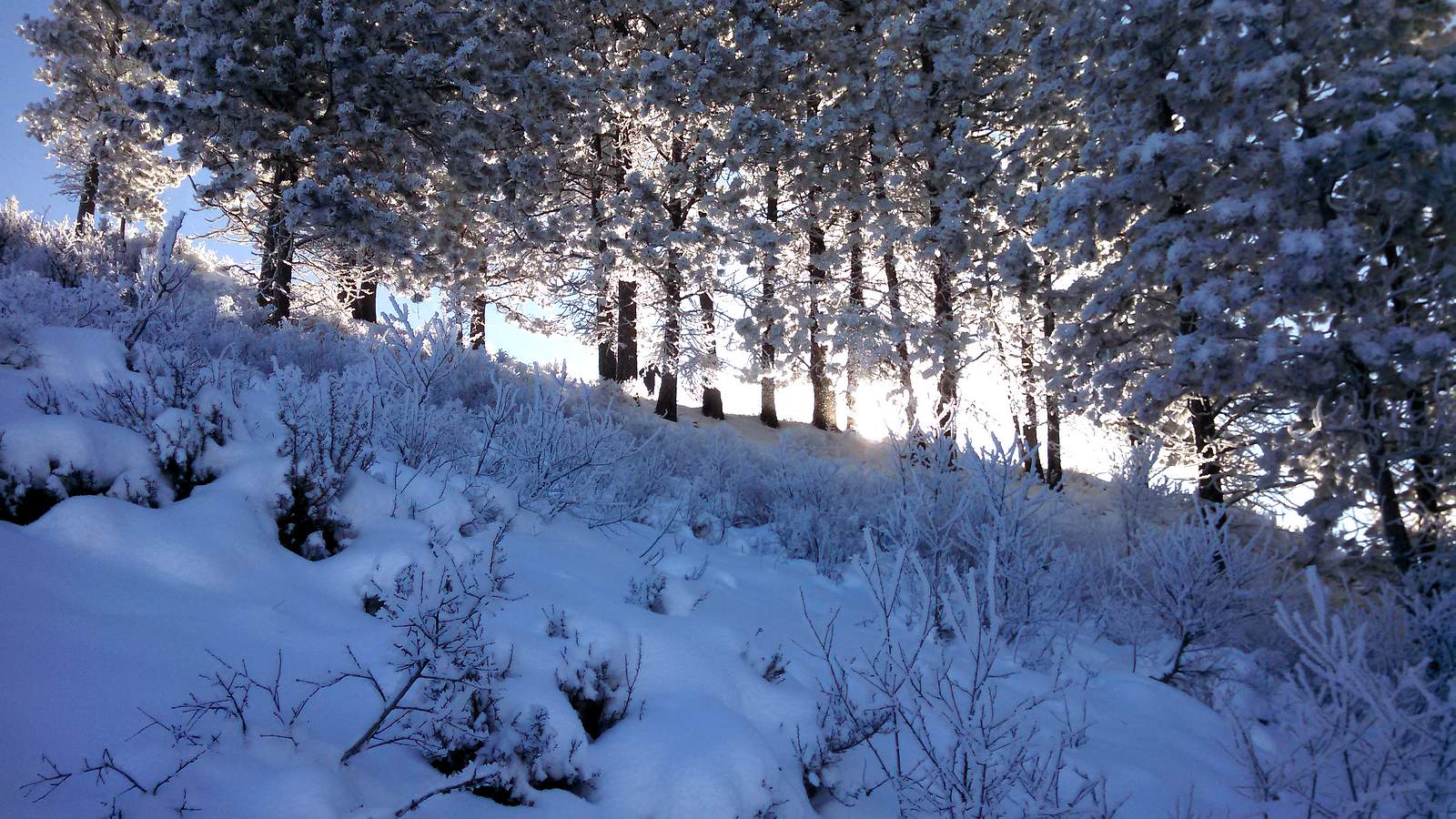
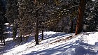
Climbing through the trees and into the sun. |
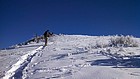
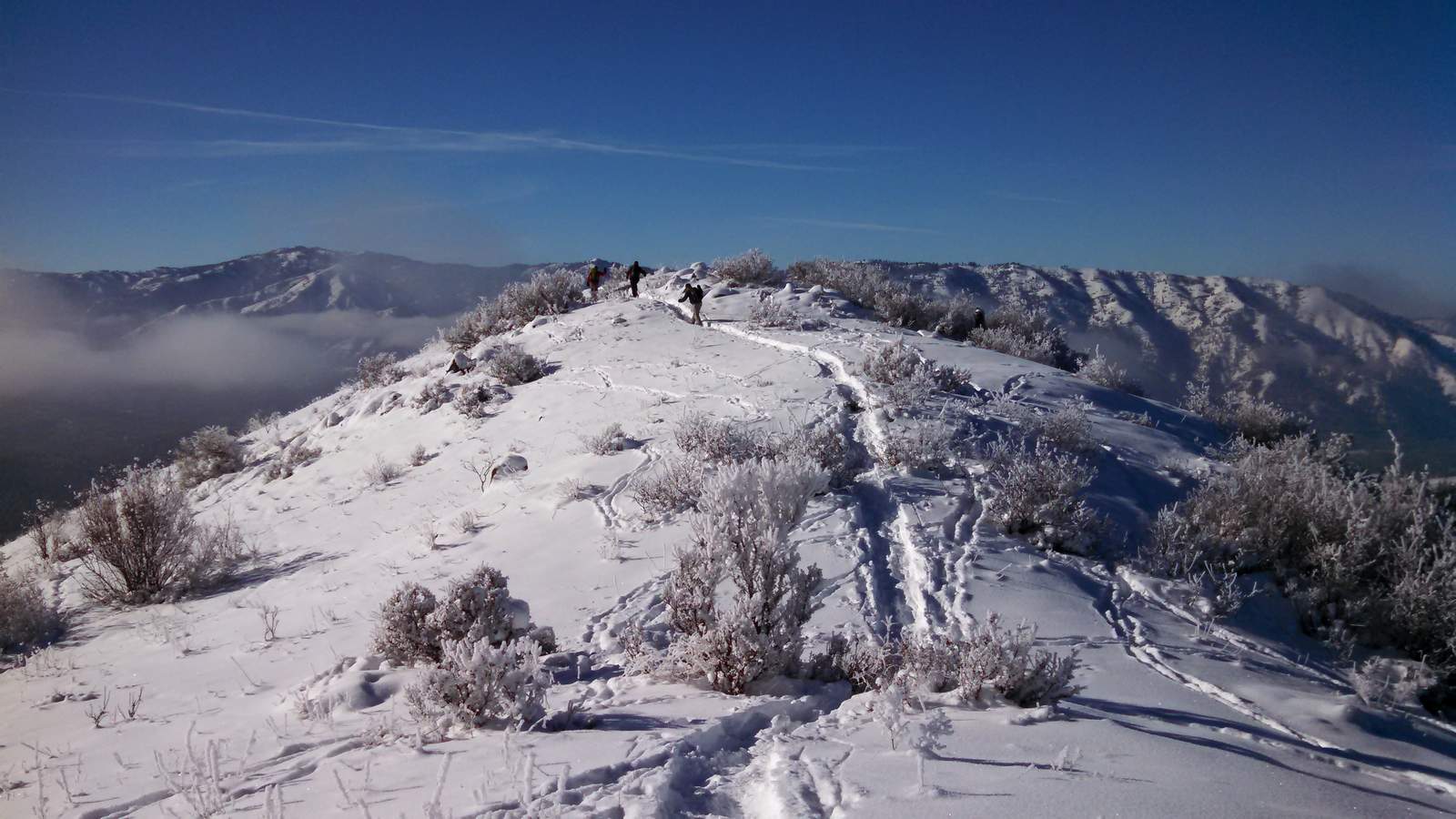
Nearing the summit of Bald Mountain. |
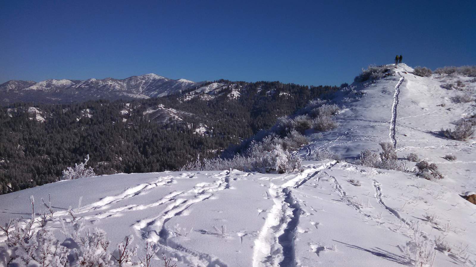
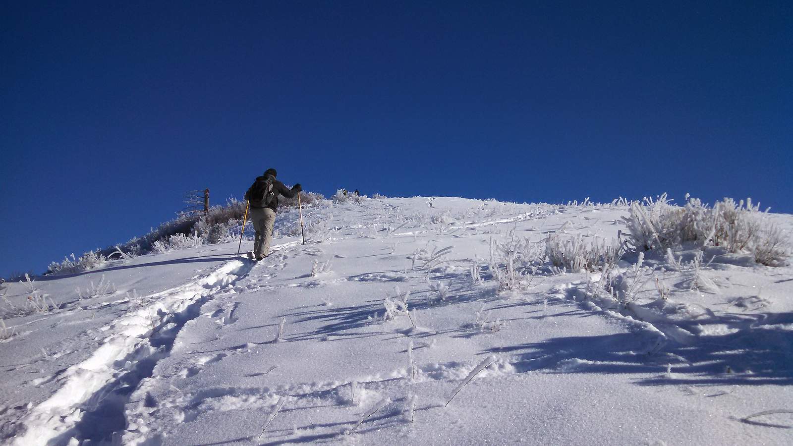
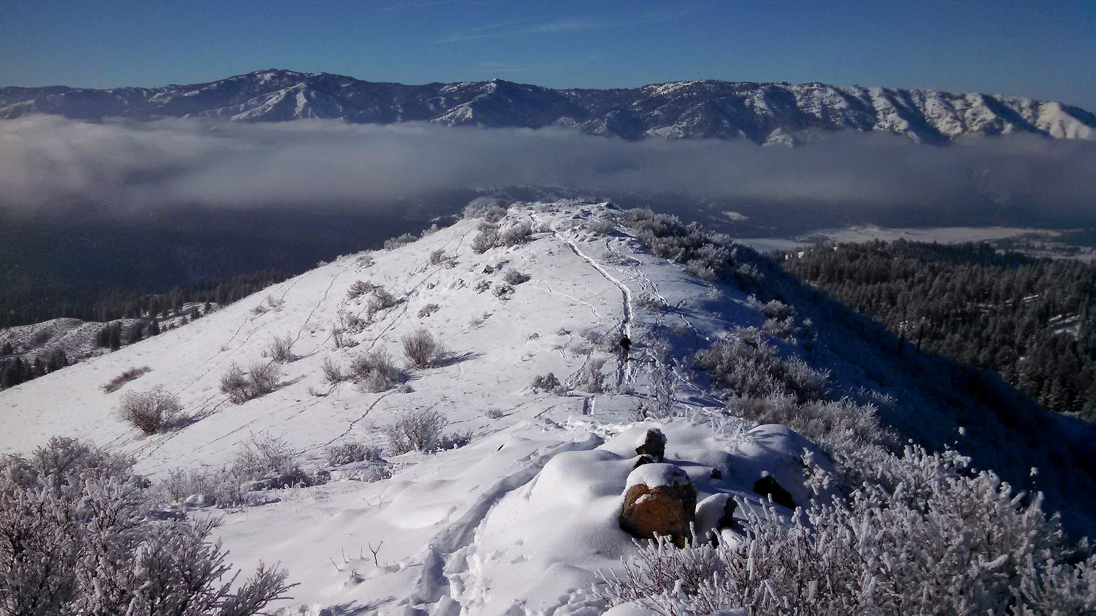
Final stretch of summit ridge. |

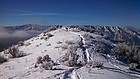
On the summit of Bald Mountain, with Scott Mountain in the distance. |
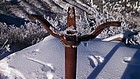
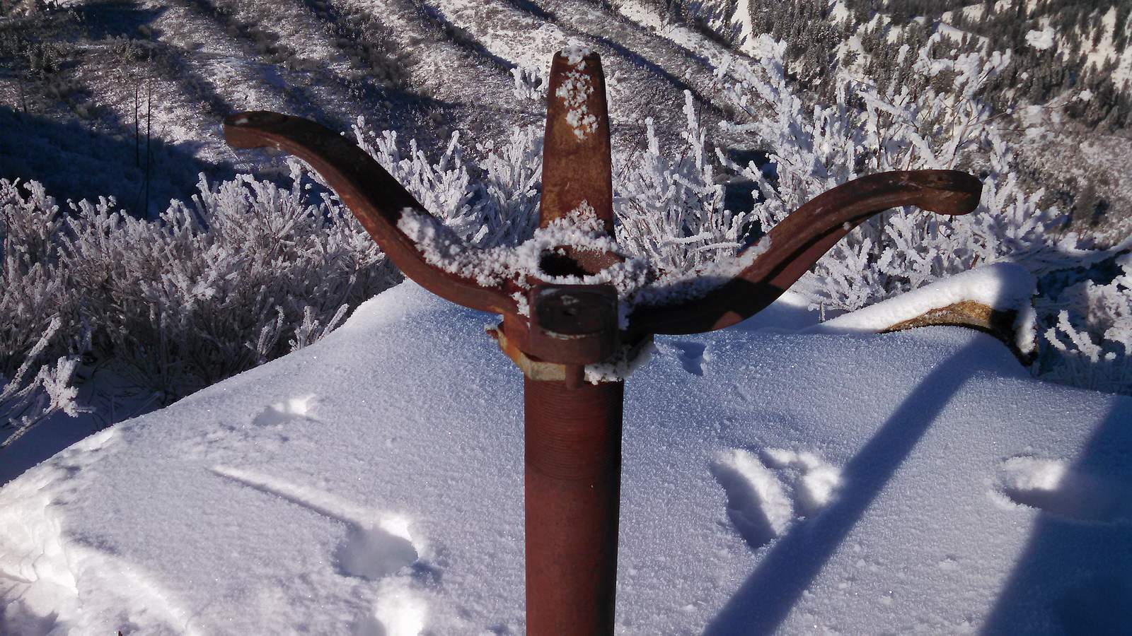
Interesting summit marker. Old plane table mount from a long gone lookout? |

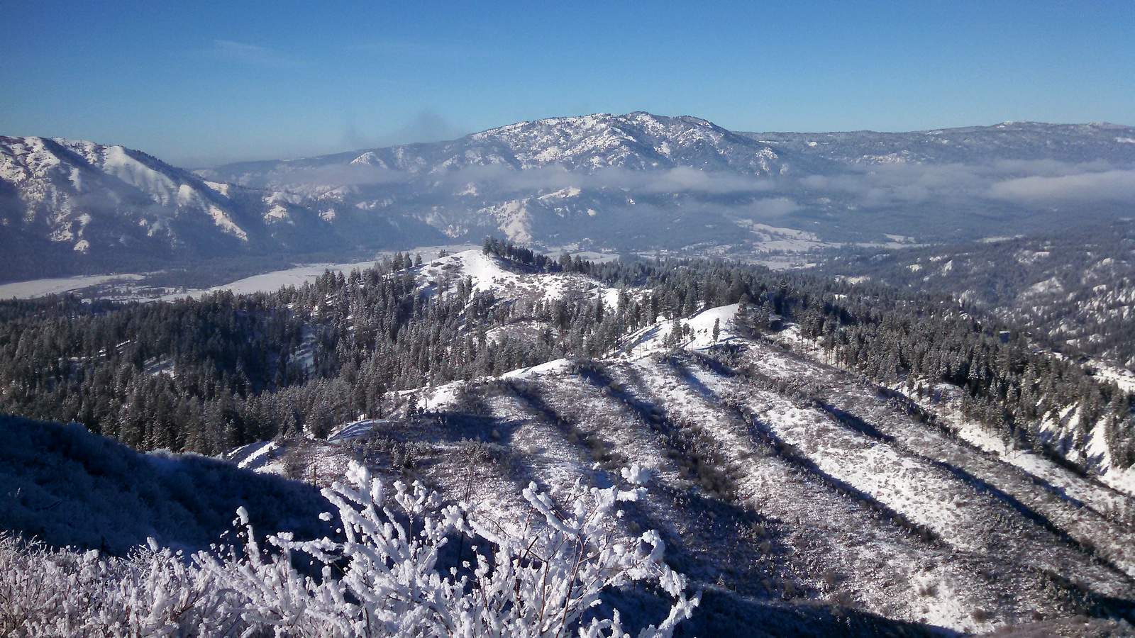
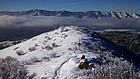
Looking back on the twisty ridge. Garden Valley and Garden Peak in the background. |
Retracing our steps back along the ridge. |
A final view looking back on Bald Mountain. |
Almost back to the trailhead. |
|