|
Cone Peak Loop
Cone Peak is reportedly the highest coastal peak in the lower 48 states. It is located in the Santa Lucia Range, just inland form the Big Sur coastline. The range is known for being very steep and can be a great place to find relative solitude. The Cone Peak trailhead is pretty remote, but can be accessed in a passenger car. There is a well-maintained trail leading to the summit, which is home to a fire lookout on top.
During a business trip near San Jose, I was looking to stay an extra day and hike up a peak. Michael had suggested a few options, but Cone Peak seemed the most interesting. I had managed to fit a sleeping bag and tent in my carry-on-bag, and when my meeting was over, I hit the road heading south about four hours to the trailhead. There were several spots to pullover and camp on Cone Peak Road, but I chose the one about four miles off the pavement in a pullout behind a big tree.
Naturally I hoped to extend the hike and tag a couple other nearby peaks if possible. But I had to get back to SFO to catch a 7:30pm flight back to Boise. So I was up early, and started hiking by 6:30 before the sun came up. If time allowed, I hoped to do a three peak loop.
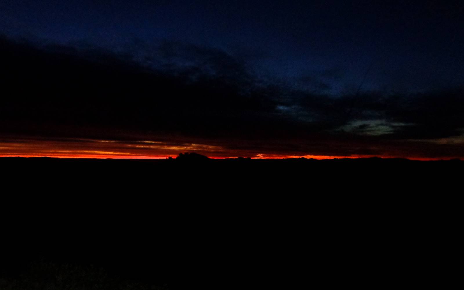
The trail from the Cone Peak trailhead is well maintained and easy to follow. It starts off tunneling through tall brush, but the views opened up after not too long and I had a great view of the sunrise behind me. I was enjoying the hike and the views steadily improved as it got lighter outside. It took about an hour to cover the 2.2 miles to the summit. The summit views were great. The inland mountains looked steep and rugged, but most impressive to me were the views of the Pacific Ocean.
After Cone Peak, the next objective was Twin Peak, just to the west. So I backtracked down the trail, and then made my way along the ridge toward the summit. The brush wasn’t very thick along the ridge, and there is a faint use trail that leads to Twin Peak. Just a little bit of route-finding on a few rocky sections to provide a little excitement. From the summit of Twin Peak, views of the Pacific were very cool, and it was a great vantage point to look south along the Big Sur Coastline.
It took about another hour to traverse the ridge out the Twin Peak, and back to the trail. I briefly questioned if I had time for the rest of my planned loop, but since most of the rest of the day would be on a trail, which should be faster, I decided to go for it.
The descent down to Trail Spring Camp and the Gamboa Trail went quickly. There were some massive downed evergreens along the way, probably taken out in a micro-burst. The larges one I saw was at least four feet in diameter. The Gamboa Trail from Trail Spring up to the North Coast Ridge Trail was a little grown over in places, but not too bad. (Although I suspect the brush grows fast, so that could change quickly.)
After not too long, the trail gained the ridge and I had a view of unnamed peak 4988’, which I would nicknamed “Cook Springs Peak” after the nearest named feature I could see on the map. From a distance, it looked like the crux of the entire day would be the quarter mile of off trail travel to reach the summit of this little peak. I could tell there was plenty of chaparral and other brush guarding the peak. But I could also see a rocky rib of white marble that might provide a path.
As I got closer to Cook Springs Peak, it wasn’t obvious if my plan would work out or not. But there was a short scree field leading up away from the trail. I then angled over toward the white marble rib. This worked out very well, and made for some fun scrambling too. Soon enough I crested the ridge, and it was then just a short walk over to the summit. The highpoint was a big rock the provided pretty decent views of Junipero Serra Peak to the east, which is the range highpoint.
From this third summit of the day, I had a good vantage point looking back on Cone Peak and Twin Peak, and good views in all direction of the rest of the Santa Lucia Mountains around me. But the clock was ticking, so I didn’t linger long before heading back down. The down-climb was a little harder to navigate than the way up, but still no worse than class 3.
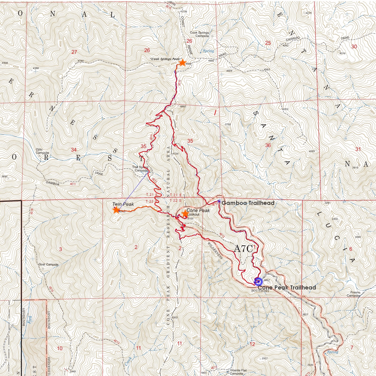
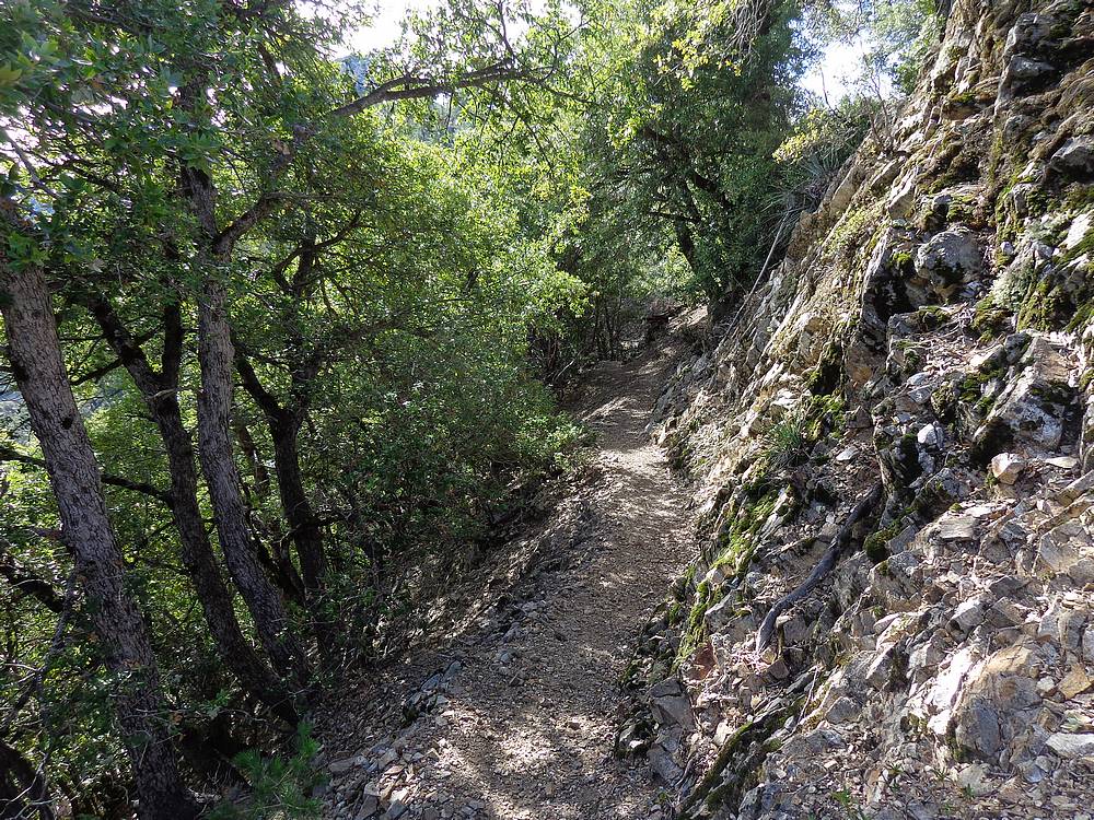
Once back on the trail, I tried to pick up the pace, but stopped frequently to take photos of the rugged and heavily vegetated landscape. On the way back, I didn’t following the Gamboa Trail back into the valley. Instead, I was able to make a loop by following the Coast Ridge Trail and descend along the east side of Cone Peak. The area had some neat sections of trail cut into the side of the mountain. Soon enough I made it back to the Coast Ridge Trailhead, flowed by about 1.2 miles of road hiking back to the car. In all, it took about 80 minutes to cover the 3.4 miles from Cooks Springs Peak back to the trailhead. The full loop was just over 10 miles, which took about five hours round trip.
This had been a great hike in a very scenic area. Much of the hike lies within the Ventana Wilderness, so it has a very rugged feel. As a bonus, I got back early enough to catch the 5:30 flight back to Boise (which I didn’t know about until I reached the airport), which allowed me to catch an extra couple hours of sleep before going to work the next morning.
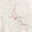
Map of the route, just over 10 miles and 3300' elevation gain, round trip. |
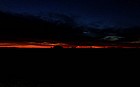
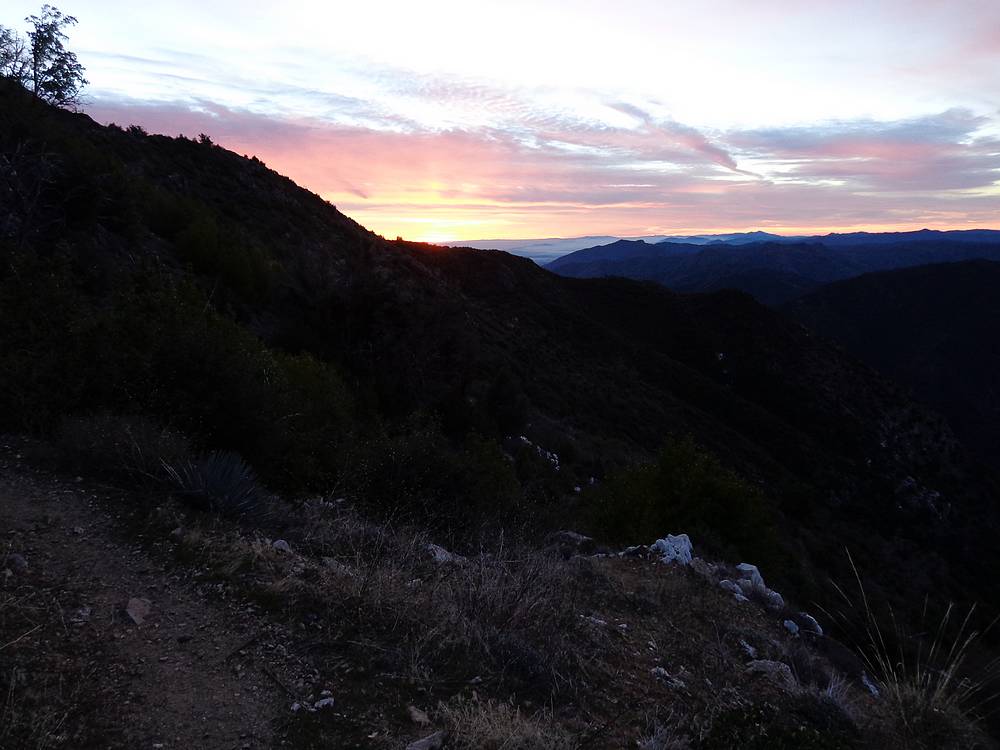
The beginning of a great sunrise. |
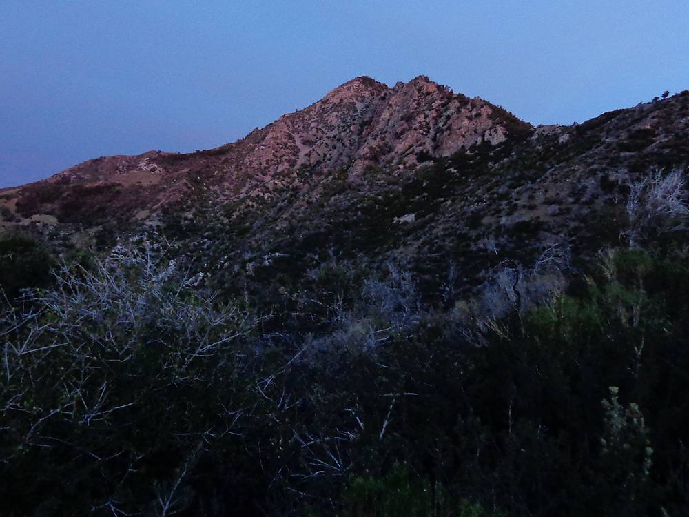
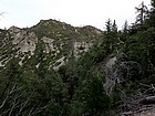
Early view of Cone Peak from the southeast. |
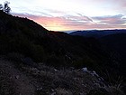
Looking back on the sunrise. |

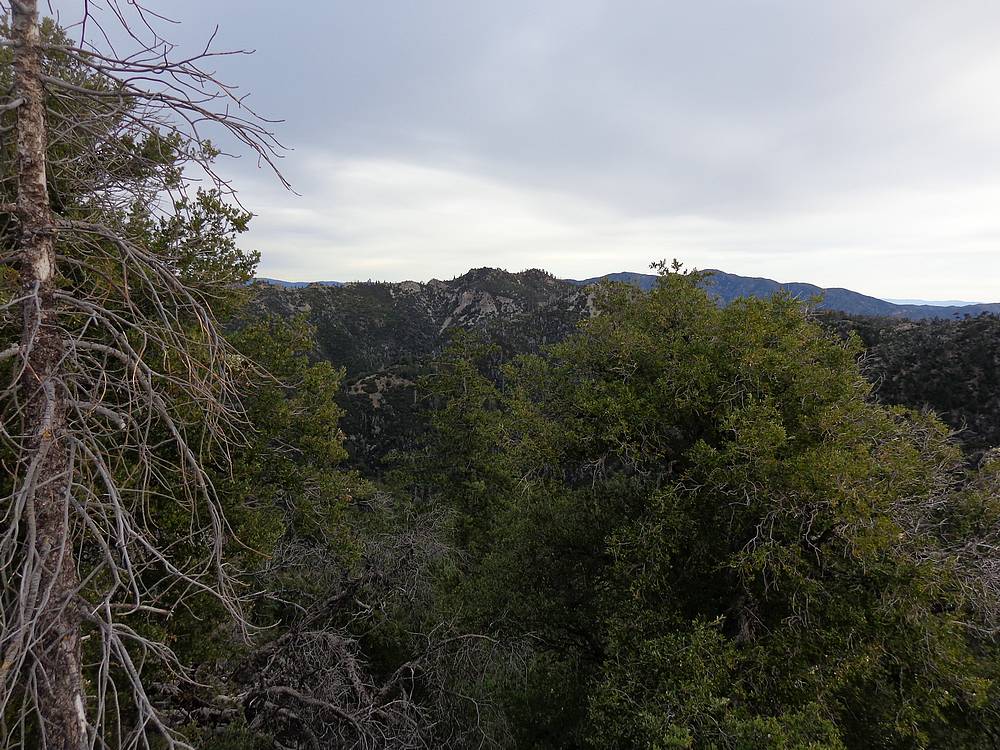
Twin Peak from the Cone Peak trail. |
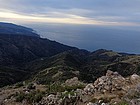
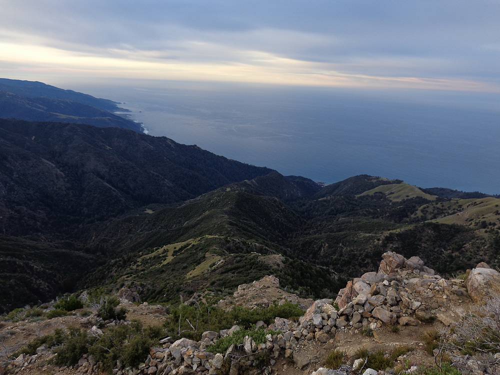
Pacific Ocean from the Cone Peak trail. |
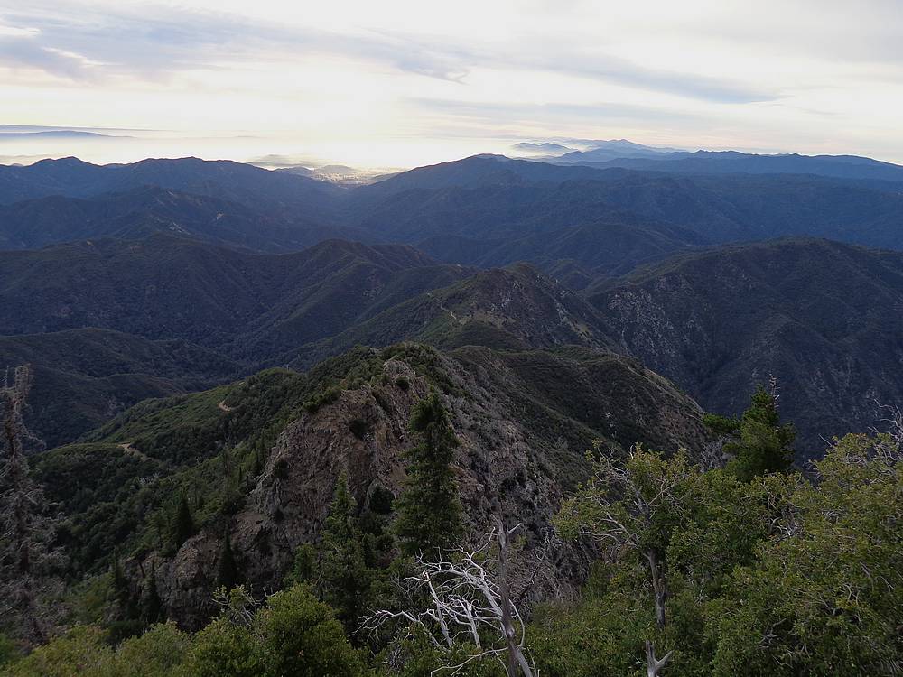
Twin Peak from Cone Peak. |
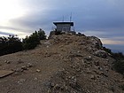
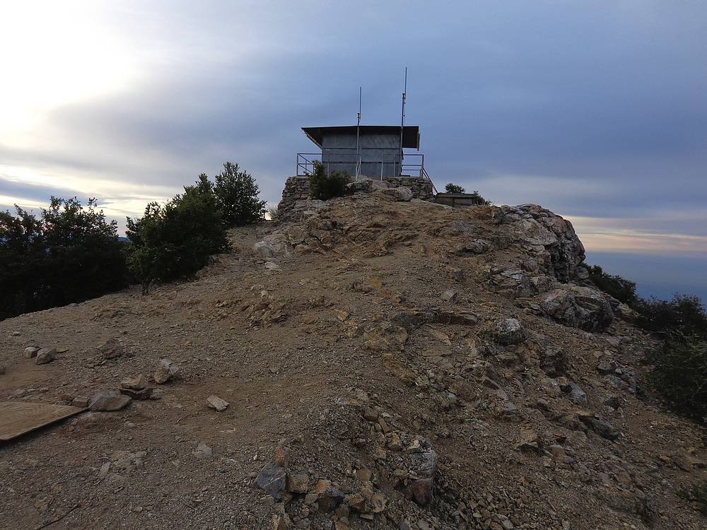
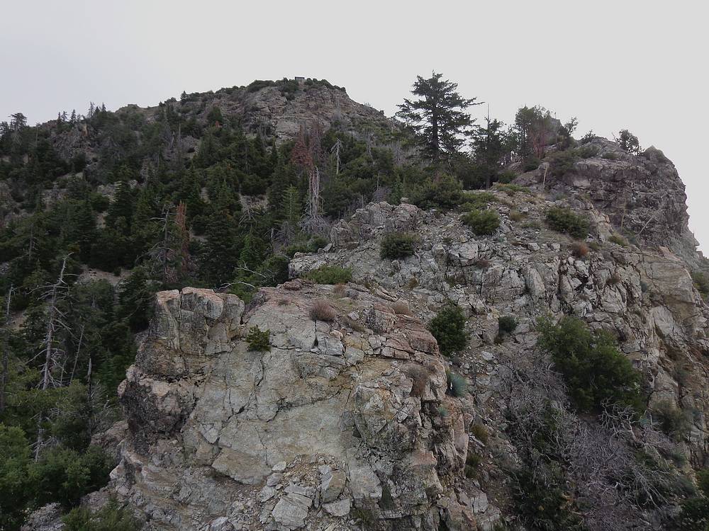
Cone Peak lookout building. |

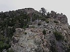
View back down the southeast ridge of Cone Peak. |
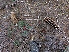
Big pine cones were everywhere. |

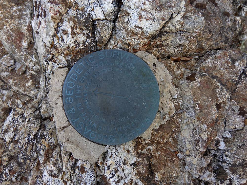
Twin Peak benchmark. |
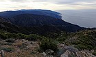
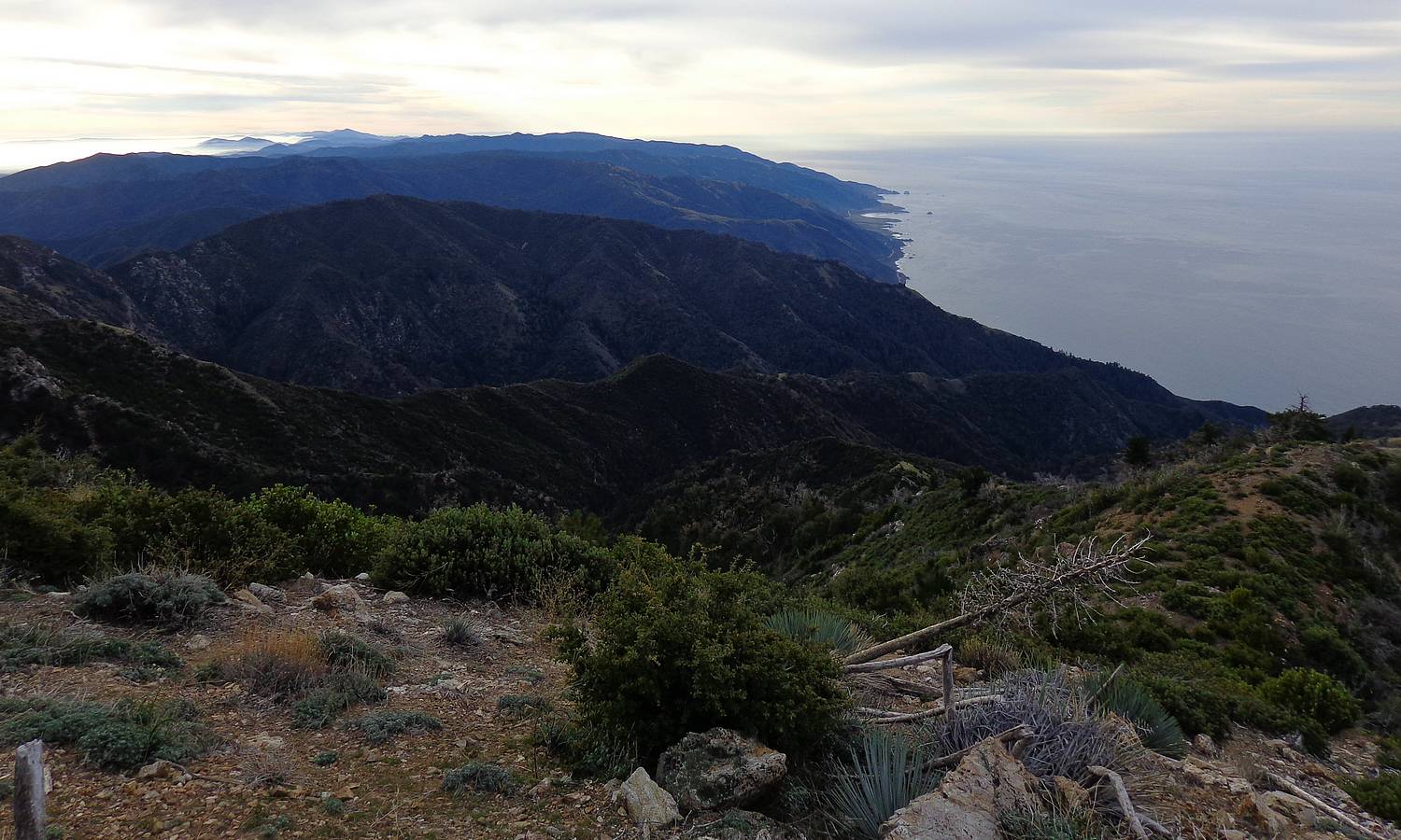
View south down the Big Sur Coast, from Twin Peak. |
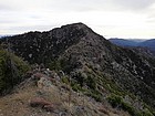
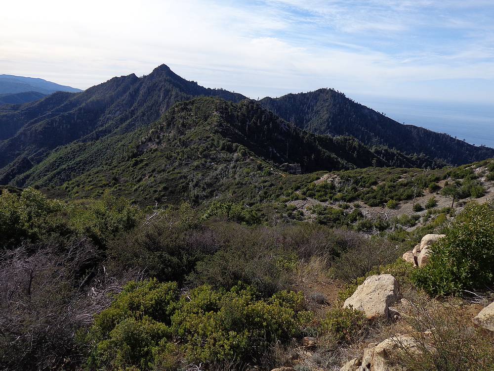
Cone Peak from Twin Peak. |
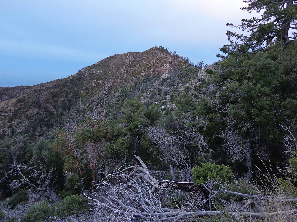
"Cook Springs Peak" from Twin Peak. |
A scramble section on the ridge from Twin Peak back to the Cone Peak trail. |
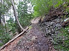
Gamboa Trail near Trail Spring Camp. |
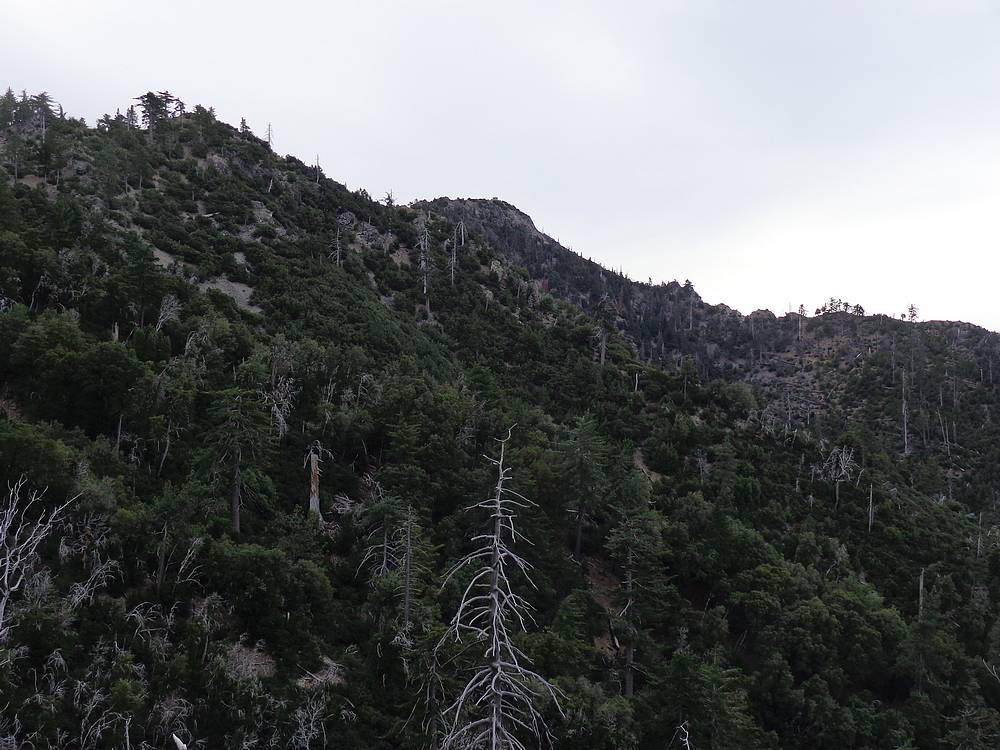
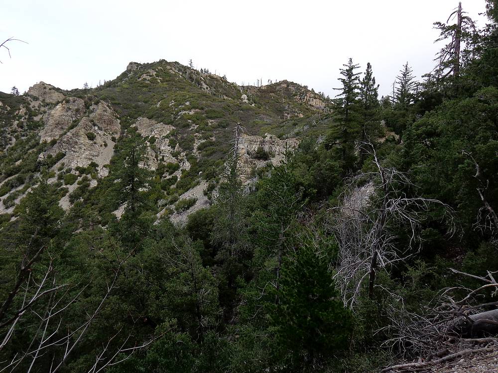
Cone Peak from the Gamboa Trail. |
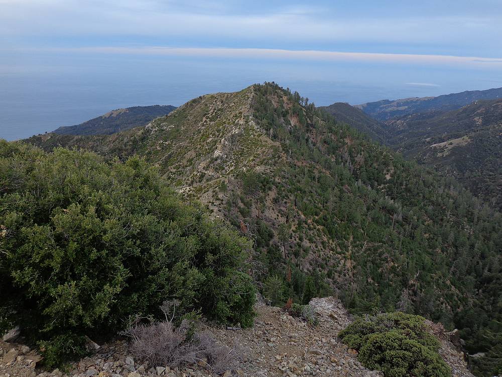
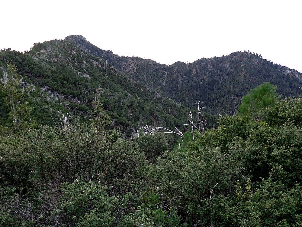
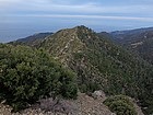
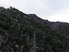
Cone Peak & Twin Peak from the North Coast Ridge Trail. |
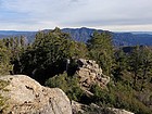
Summit of "Cook Springs Peak" on the right. |

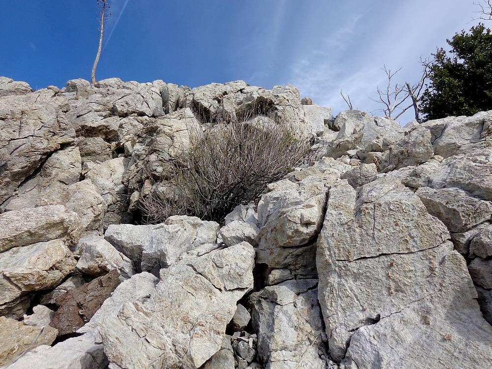
I scrambled up the marble rib to avoid dense brush. |
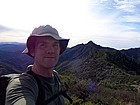
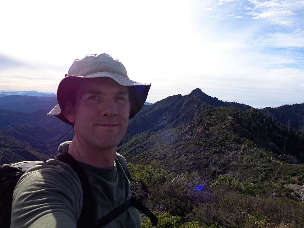
On the summit of "Cook Springs Peak" with Cone Peak in the background. |
Looking east from "Cook Springs Peak" to Junipero Serra Peak. |

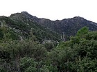
Cone Peak and Twin Peak from "Cook Springs Peak". |
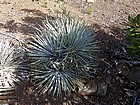
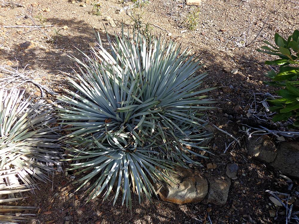
Lots of Yucca Plants in the area. |

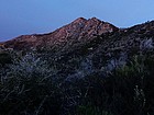
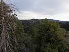
On the North Coast Ridge Trail, just northeast of Cone Peak. |
|