|
Sturgill Peak
Sturgill Peak
Elevation 7589'
A nice hike to the highpoint of the Hitt Mountains
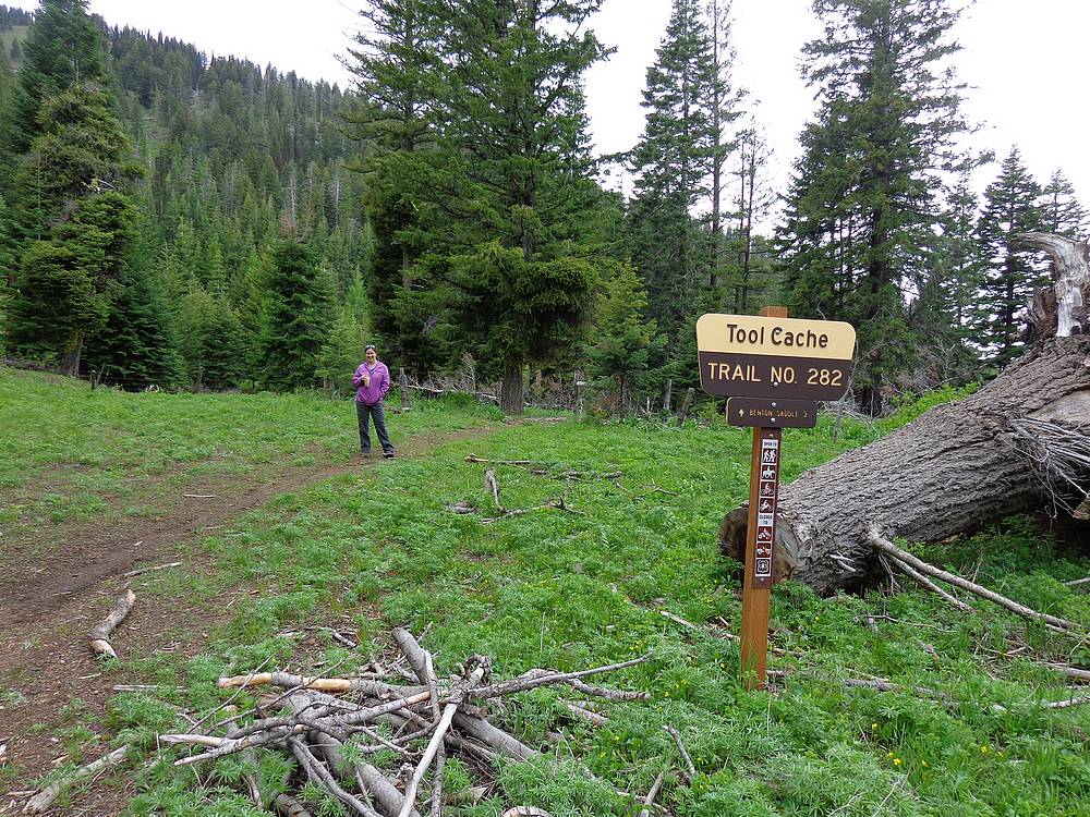
Sturgill Peak is the highpoint of the Hitt Mountains, located in west central Idaho, not far from the town of Cambridge. Most folks reach the summit via a jeep road from the south. But it can also be done as a mostly cross-country hike from the north, starting at the Tool Cache trailhead, which is near what used to be the Hitt Mountain Ski Area.
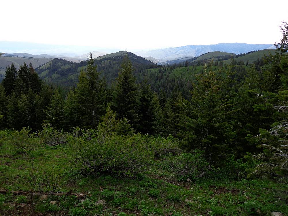
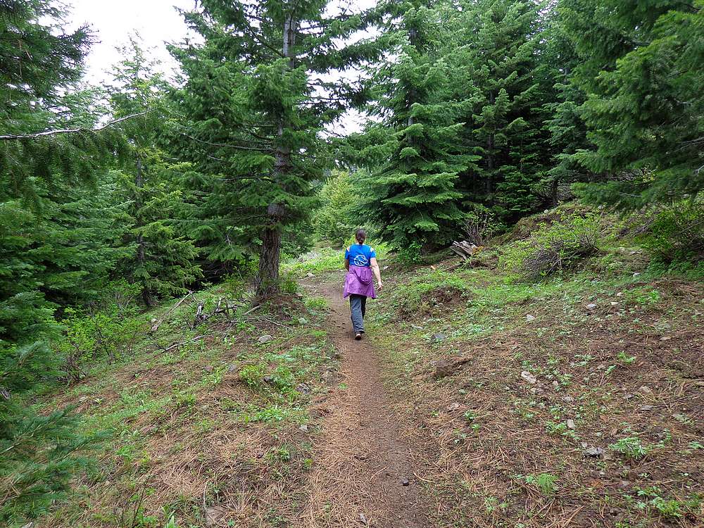
After a failed attempt the prior year, my wife and I were back to take care of some unfinished business. Because we knew the area, we were able to drive our car to the Tool Cache trailhead. (Although high clearance is recommended.) From the trailhead, we followed the trail slightly north but mostly west. The trail actually goes slightly downhill. We stuck with it for about a half mile, and then when it veered downhill, we went cross-country straight up the hillside. It was steep, so we stopped often to check out wildflowers and catch our breath.
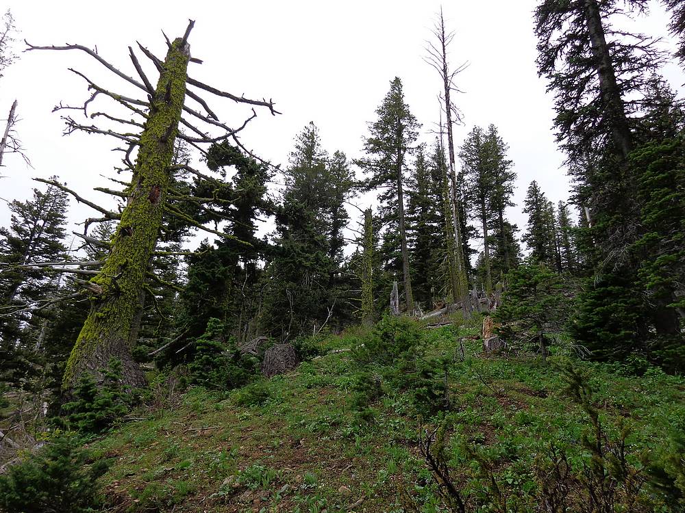
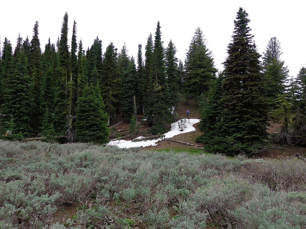
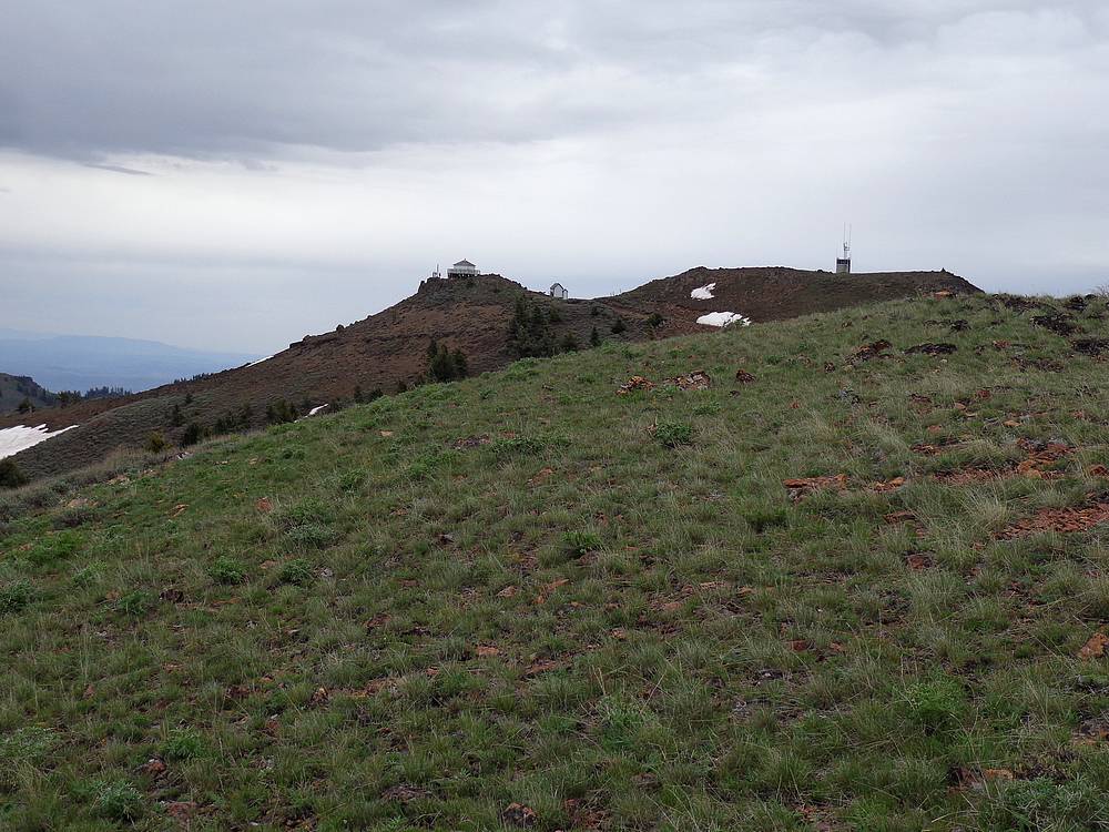
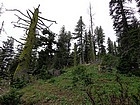
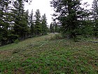
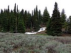
Once off the trail, there is some dense brush in places, but we were able to connect occasional clearings up the hill. After a while we got to an area with a bunch of downed trees, possibly from a cloudburst several years prior. So we angled up and around to the right (west) using game trails. After passing through some lingering snowbanks, we made it above the tree line, followed the ridge to the summit area, and then used the road for the final short section to the summit. It took us about 90 minutes to get there.
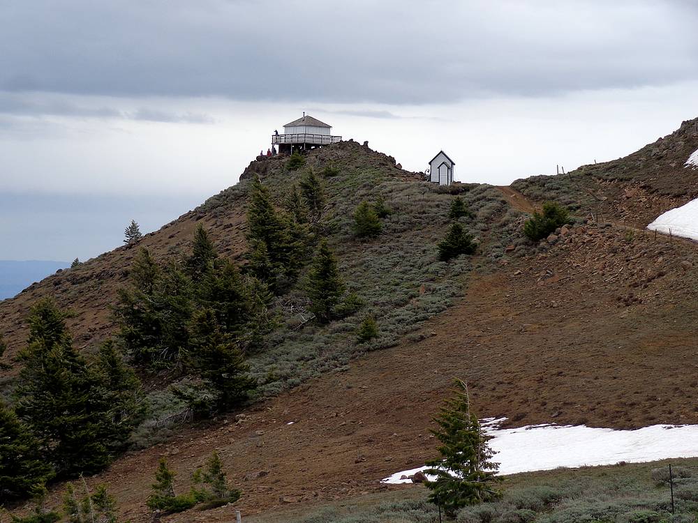
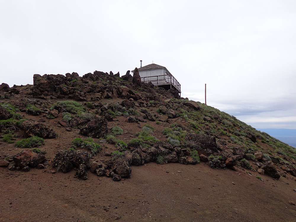
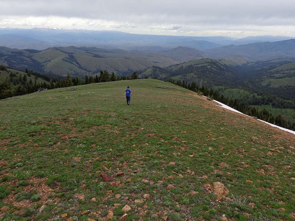
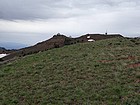
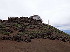
The views from the historic fire lookout on the summit of Sturgill Peak were excellent. We were joined there by a family who had driven up from the south. They said we’d just missed a couple coyotes that must have angled under us when we were on the ridge. After snapping some photos, we hiked slightly west to a point that looked just a little higher than the lookout building.
On the way back down we just retraced our steps back to the car, with a few brief stops in the trees to wait out some light rain. Round trip time was about 2.5 hours. I very much enjoyed the day. I am feeling good anytime my wife humors me by joining me for a hike.
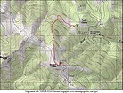
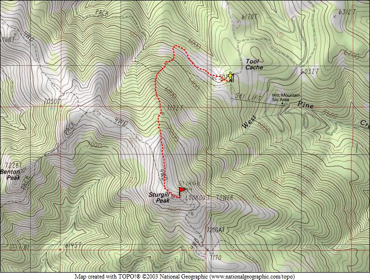
Map of our route, about 4 miles and 1500' elevation gain. |
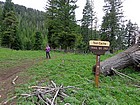
Tool Cache trailhead, and a mocha. |
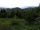
View north from the trail. |
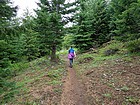
Heading uphill, in a hurry. |
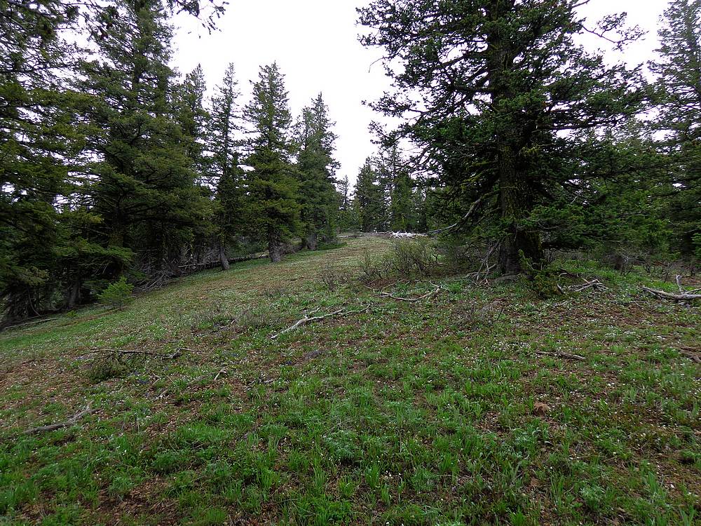
Occasional clearings to escape the brush. |
Patches of snow below treeline. |
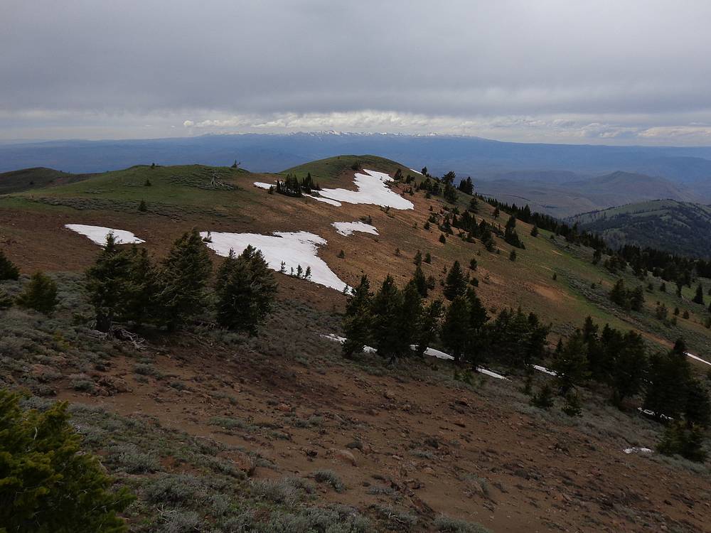
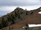
Final ridge to Sturgill Peak. |
Sturgill Peak Lookout from the west. |
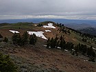
View of the Seven Devils to the north. |

Splattski style shot from the summit. |
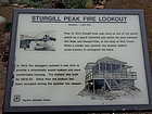
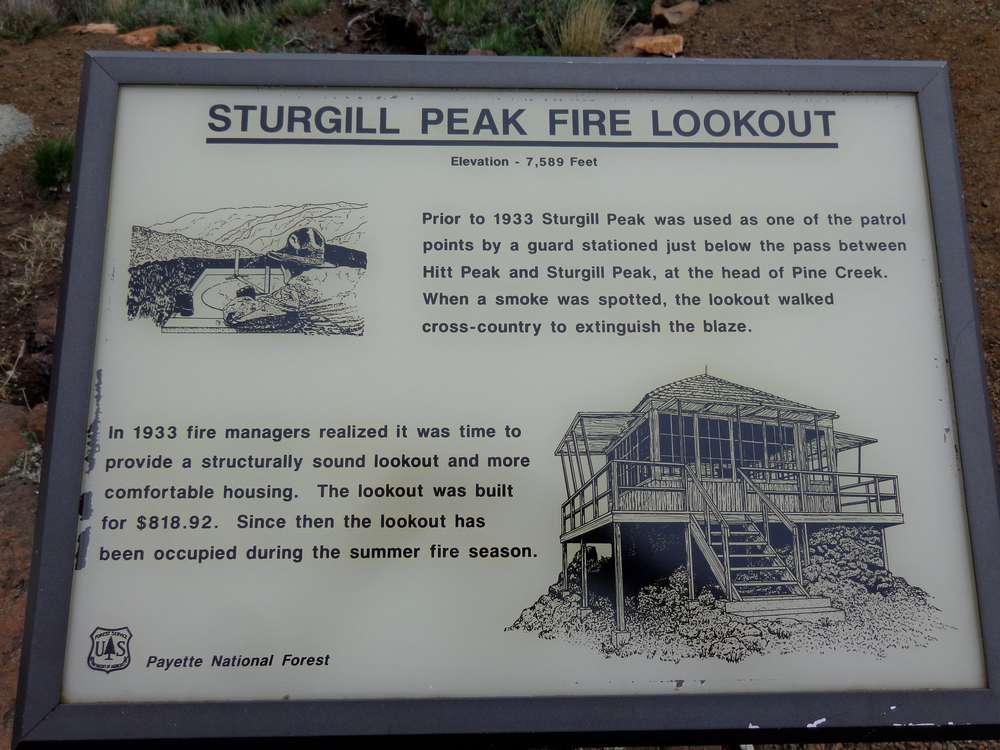
Interpretive sign about the lookout building. |
Sturgill Peak fire lookout. |
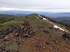
Looking down the ridge from the true highpoint. |

Heading back down. |
Almost back to the car. |
 |
|