|
Six Lakes Peak
Six Lakes Peak
Elevation 10179'
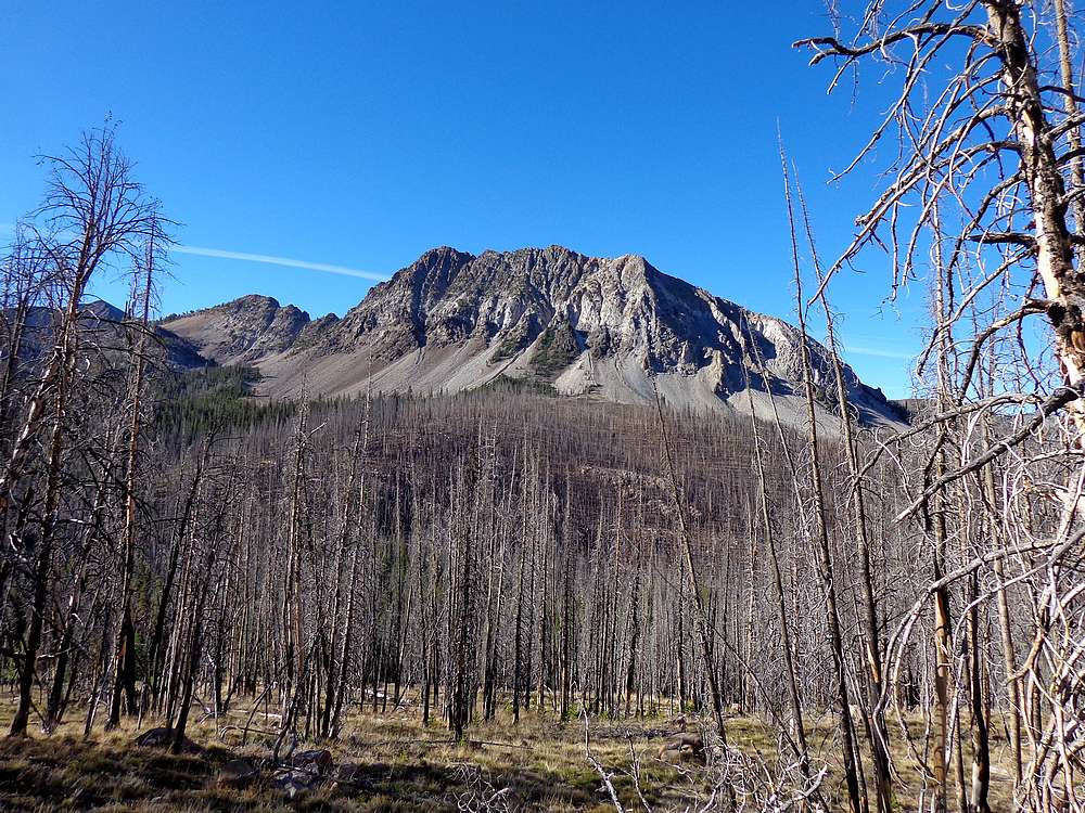
Six Lakes Peak is located on the western side of central Idaho’s White Cloud Mountains. It is the highpoint of a rugged ridge east of Six Lakes and Heart Lake, not far from the popular Fourth of July trailhead. It is a short approach hike to reach the peak, but is a challenging scramble that doesn’t see many visitors. The only known route to the summit is the southeast couloir, pioneered by Rick Baugher.
I was on a quest to finish the 50 White Cloud Peaks over 10,000 feet elevation, and Six Lakes Peak was one of only two remaining. Knowing this would be a more challenging climb than most peaks in the White Clouds, I went recruiting for climbing partners and both Tom Lopez and Dan Robbins were nice enough to join me.
We drove up in separate cars since I had a big climb planned the following day. We met in Stanley, then carpooled to the Fourth of July trailhead, which is a good place to stop if you have a low clearance vehicle. But we continued on up the Phyllis Lake jeep road for a half mile or so before parking in a wide spot. We later decided we could have driven a mile further, but where’s the sport in that?
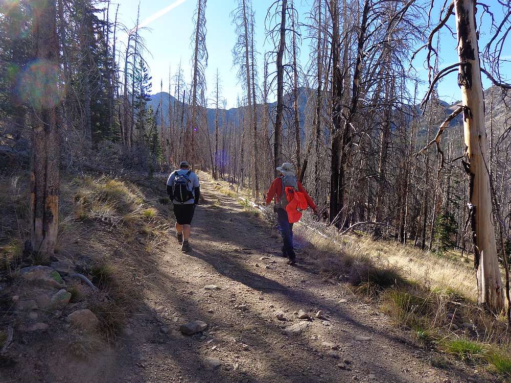
Once on our feet and hiking, we made a steady pace along the jeep road, and then started cross-country across the valley floor. After a while we found an overgrown mining road, which we took to the base of the mountain, and then headed up into a nice little basin southeast of the peak.
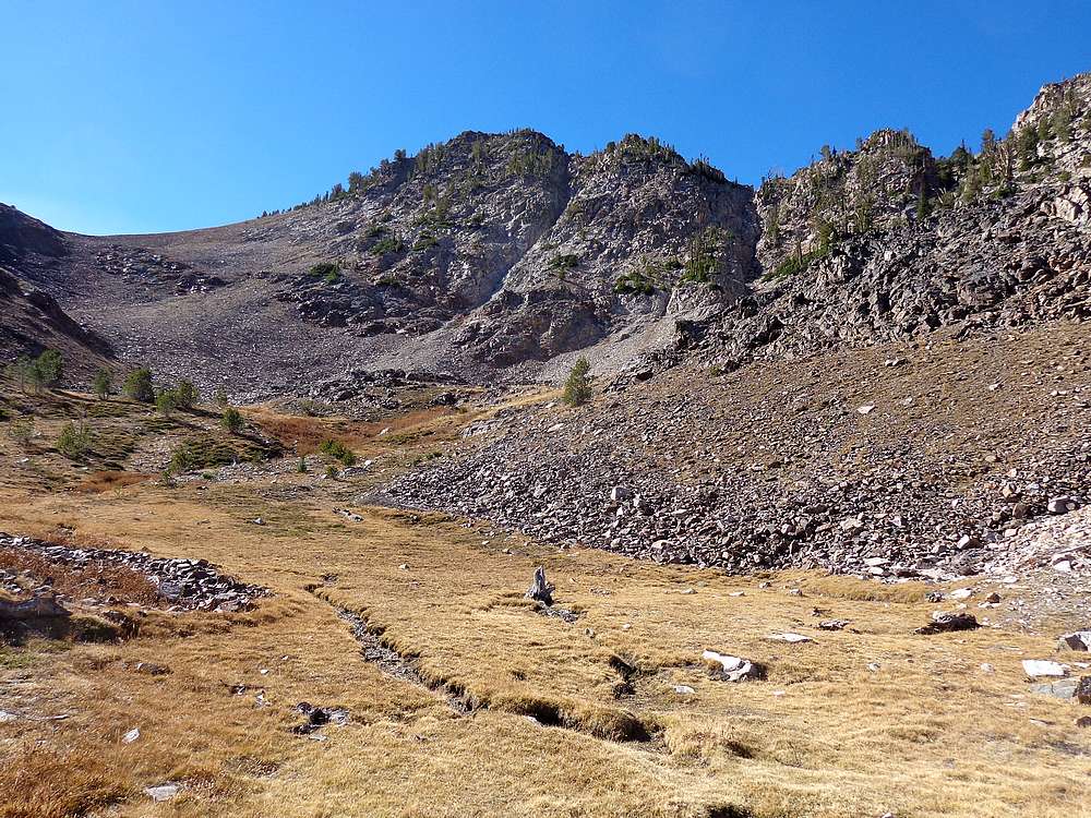
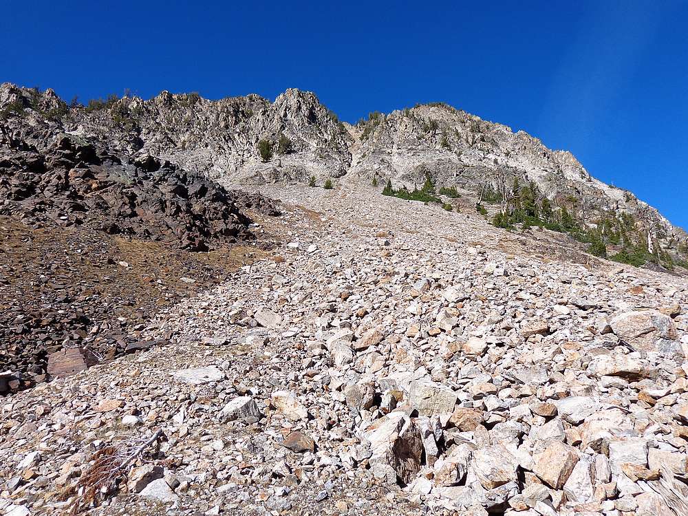
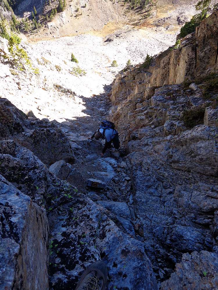
From the scenic basin we had a good view looking up the southeast couloir route. It looked steep but doable, so up we went. After a few hundred feet of climbing, the couloir got tighter and we reached the crux section. The crux move was a little tricky, but probably no harder than low 4th class. Once past the crux, we continued the steep climb up to the ridgeline.
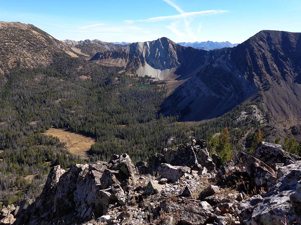
From the ridgeline, it was a fairly straightforward scramble to the summit. Views from the top were excellent, and we hung out for a while eating lunch and taking photos. In spite of a recent forest fire closer to Boise, we had no haze and clear views of the surrounding White Clouds, and Sawtooths across the valley.
It felt good to have reached the summit, but we couldn’t really relax until after we’d completed the climb back down the couloir. We took it slow and safe to keep from kicking loose rocks on each other. Once back down to the scenic basin, we were able to enjoy our accomplishment a bit. On the hike back to the car, we took a more direct cross-country route to the trailhead. Not sure if it saved us any time or work, but it made for a nice change of pace.
After sharing some bacon cheeseburgers in Stanley, we parted ways. A great day in the mountains as usual!
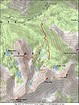
Map of our route, about 4 miles and 1700' elevation gain round trip. We went clockwise. |
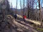
Hiking along the jeep road. |
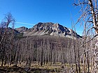
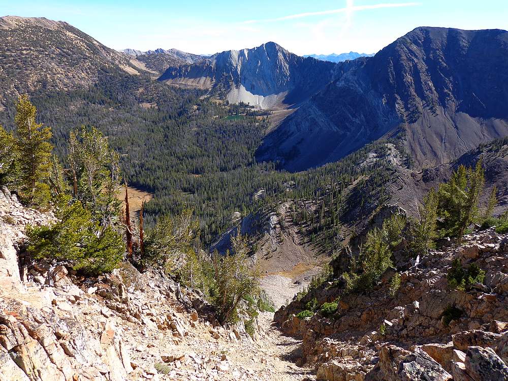
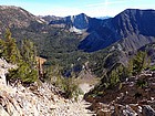
Good early view of Six Lakes Peak. |
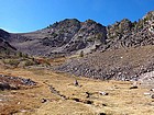
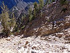
Nice meadow basin around 9500', southeast of the peak. |
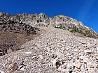
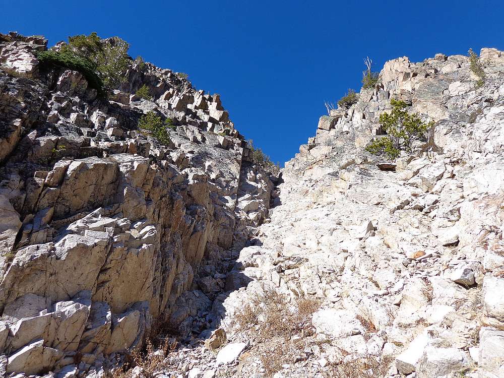
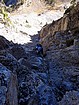
Straight on view of the southeast couloir route. |
Here's where the route starts to tighten up. |
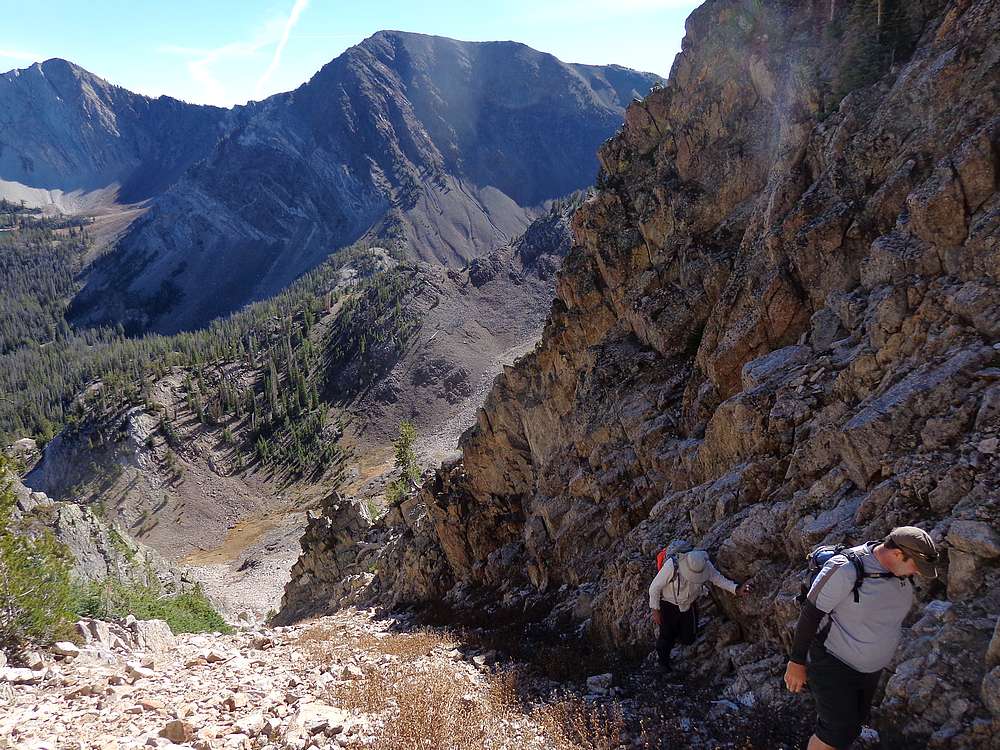
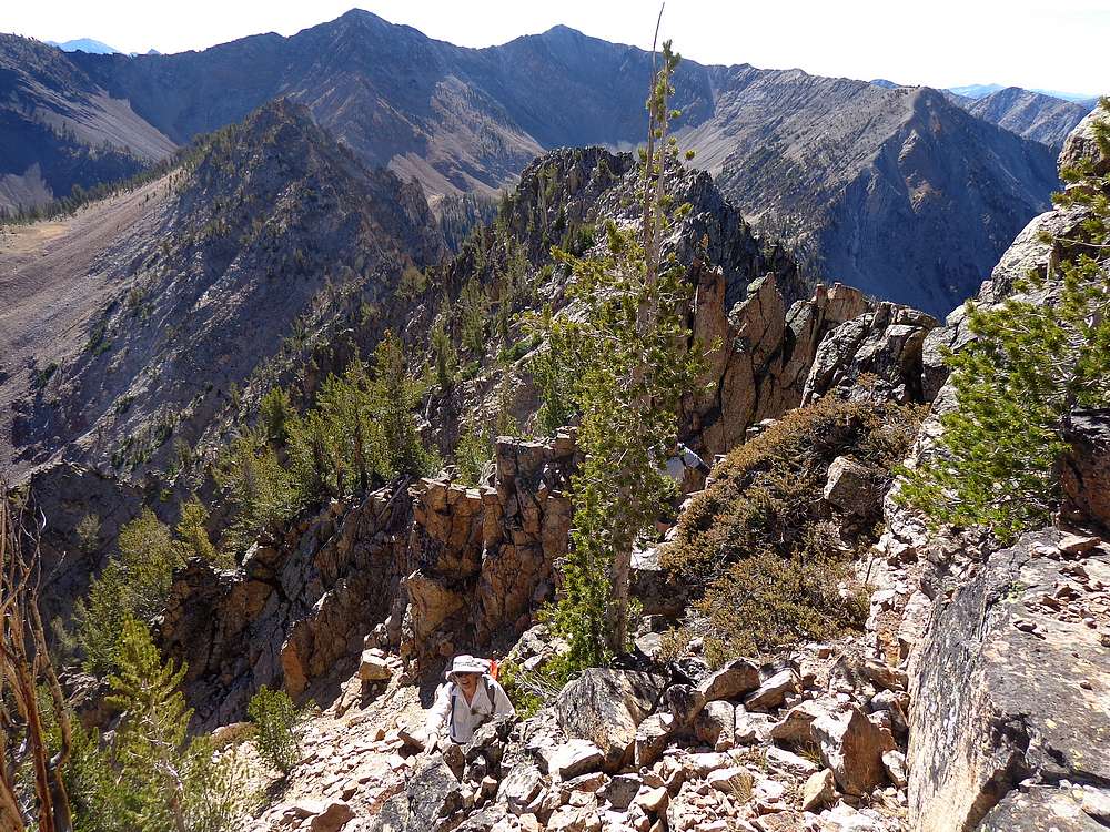
Tom scrambling up the couloir, Ivory Peak and Ebony Peak in the background. |

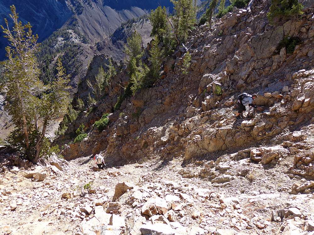
Above the crux, still heading up. |
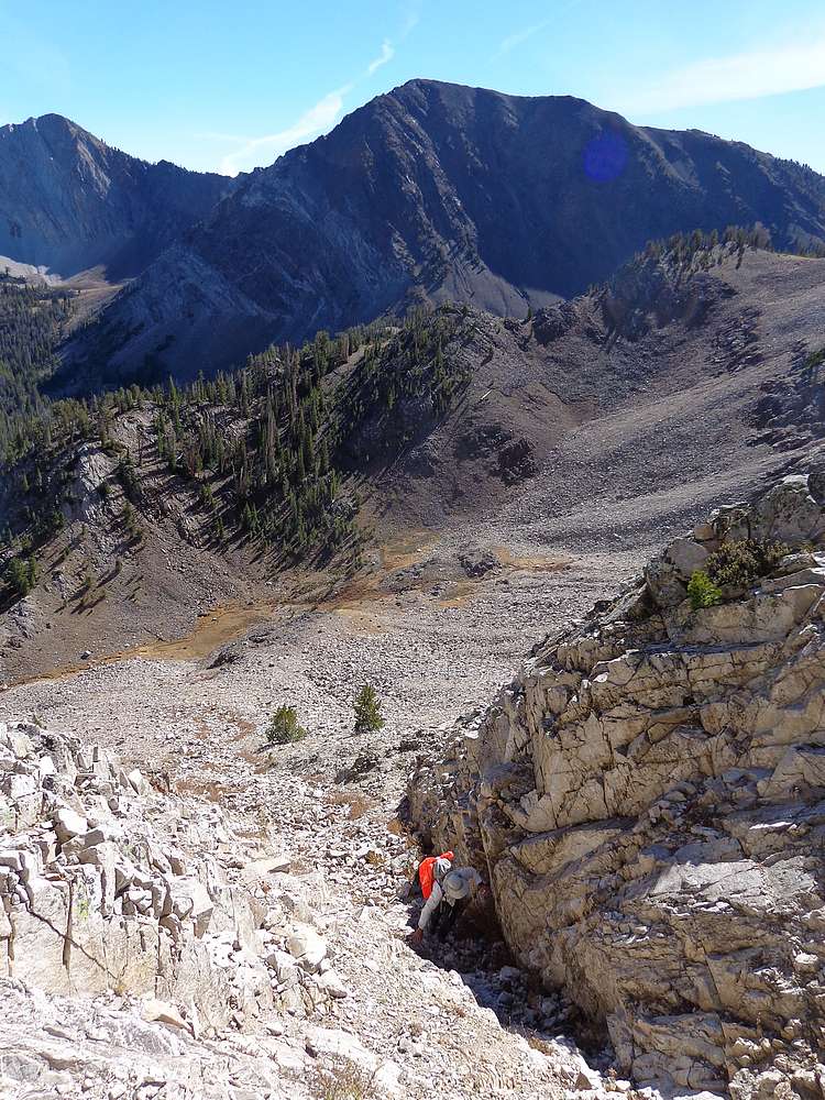
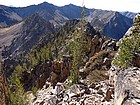
Still steep as we near the ridge. |
Looking back down the route from the ridge. View highlighted by Ivory Peak above Phyllis Lake. |
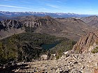
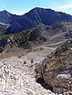
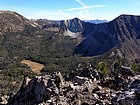
Six Lakes Basin below, Sawtooths in the distance, looking west from the ridge. |
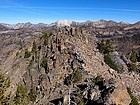
Making our way north along the ridge. |
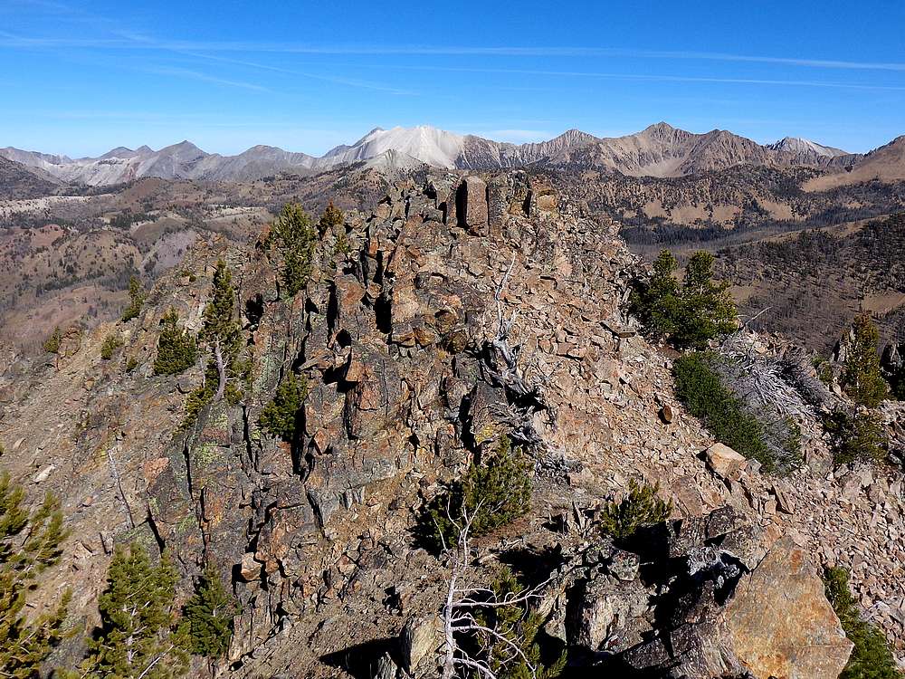
Nearing the summit of Six Lakes Peak, with DO Lee and the northern White Clouds in the distance. |
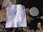
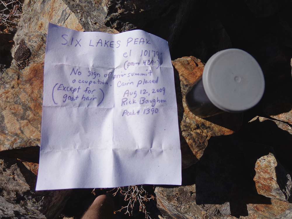
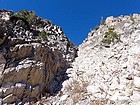
Summit register and note placed by Rick Baugher from the only other known ascent. |
View east from the summit highlighted by Ivory Peak above Phyllis Lake, Ebony Peak on the right. |
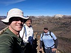
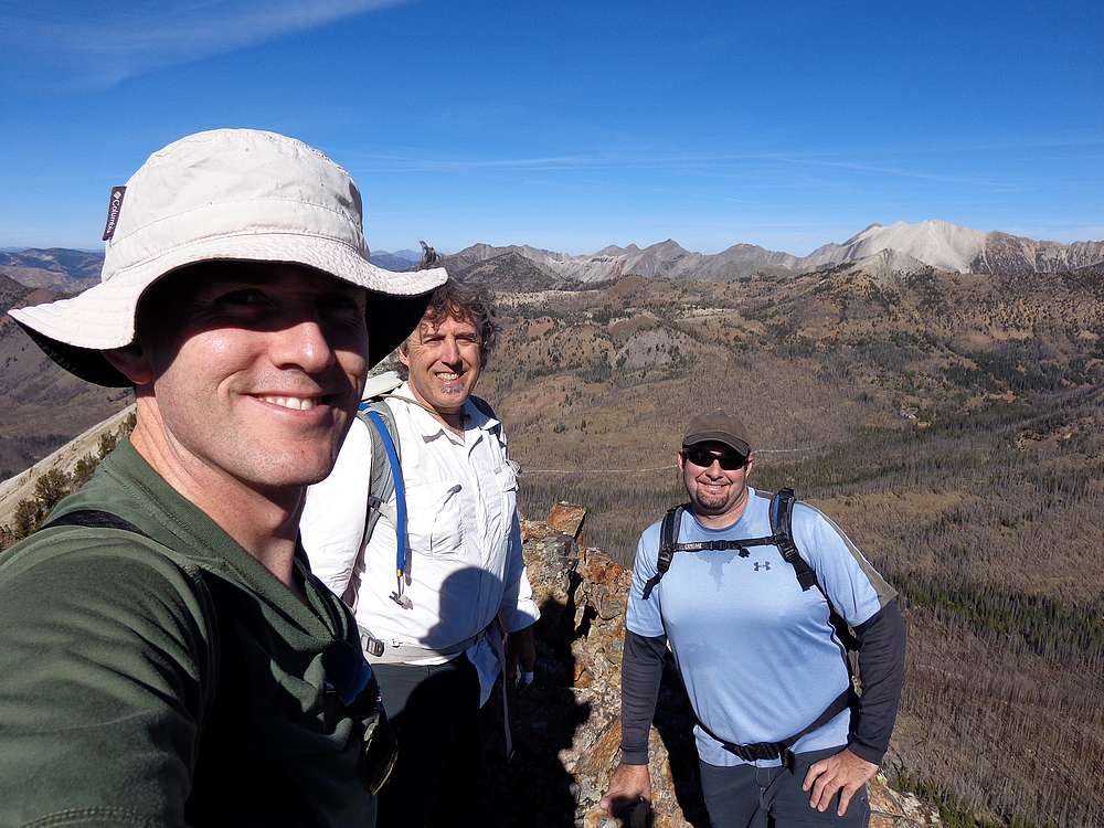
Group shot on the summit. |
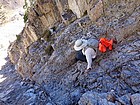
Tom downcliming the crux. |
Dan carefully making his way down. |
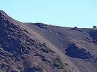
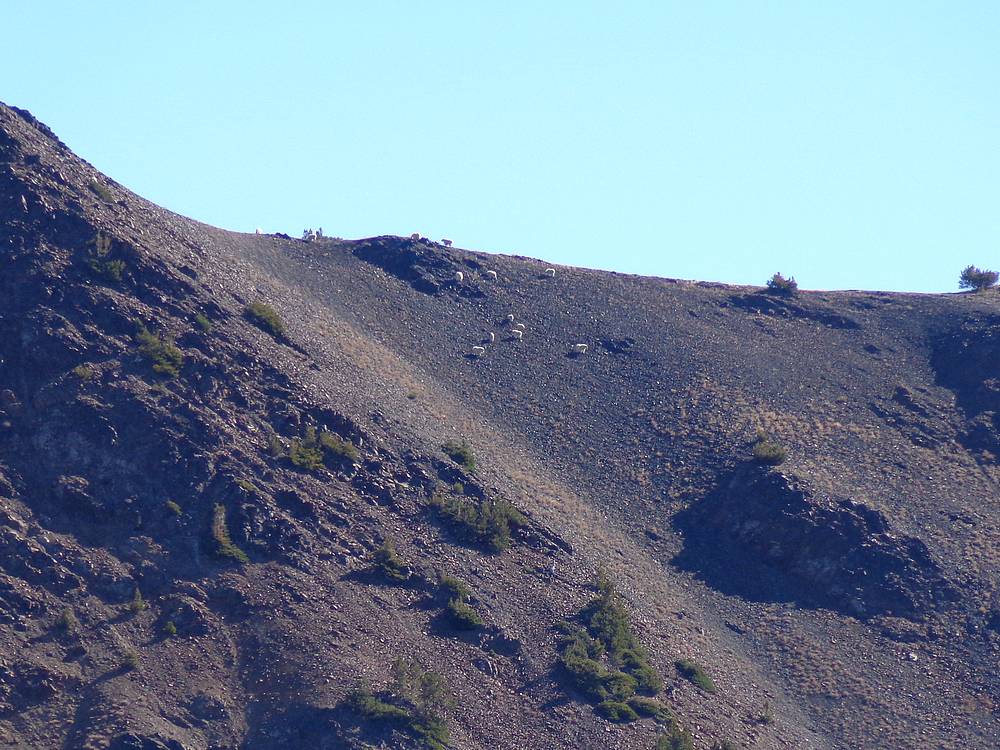
Zoomed in shot of a dozen or so mountain goats on the west ridge of Ebony Peak. |
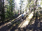
Hiking through the trees on the way back to the car. |
 |
|